Grey wagtail
About
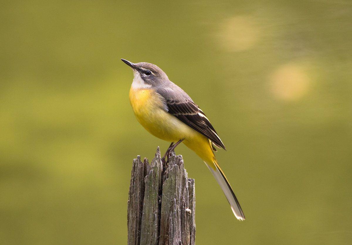
The Grey wagtail is a true inhabitant of mountain streams. During the breeding season, it always stays near flowing water, most often by fast rivers and streams with stones, so it is easy to spot in the Carpathians from a bridge or the shore. In neighboring Poland, this bird is found in the mountains, foothills, and uplands, returning to breed in March.
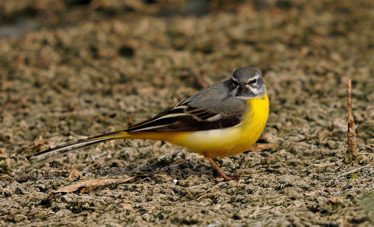
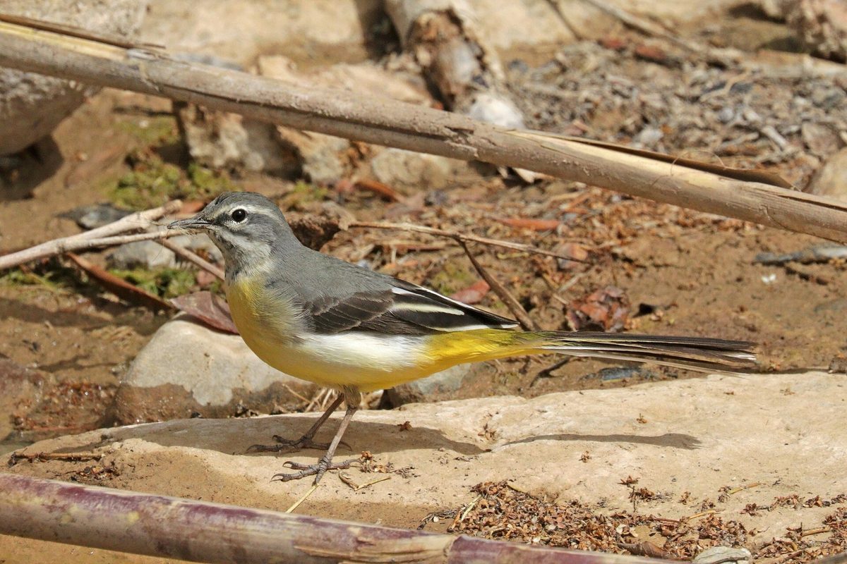
The bird is about 18 cm long and weighs 17–21 g, with a very long tail—the longest among European wagtails. The top of the head and back are grey, with a white 'eyebrow' above the eye, and the underside is bright yellow, especially under the tail. In breeding plumage, the male has a black throat, while the female has a white or spotted throat. The Grey wagtail is distinguished from the Yellow wagtail by its grey, not greenish back, and its very long tail.
The wagtail tirelessly runs over the stones by the water, constantly swaying its tail, catching insects in the shallows and in the air, and flying low over the water in a wavering flight. In flight, it often gives a sharp, ringing call.
The breeding season lasts from April to July. The wagtail hides its nest near the water—in crevices of rocks, among stones and roots on the shore, sometimes in human structures near the stream. The clutch consists of 3–6 spotted eggs. It often lives near the Common sandpiper, sharing the same streams. The Grey wagtail is not listed in the Red Data Book of Ukraine.
Where in the Carpathians

The map shows where naturalists recorded the species (GBIF, CC0 and CC BY records), not every place it lives. The Ukrainian Carpathians are less studied, so a blank area does not mean the species is absent.
- Countries
- Slovakia · Poland · Czechia · Romania · Ukraine · Hungary · Serbia · Austria · BG
- Mountain ranges
- Western Tatras, Moravian-Silesian Beskids, High Tatras, Bieszczady, Piatra Craiului, Skole Beskids, Żywiec Beskids, Bucegi Mountains, Low Tatras, Silesian Beskids
- Altitude belts
- Foothills (below 600 m) · Beech forests (600–1200 m)
When to see it
| Jan | Feb | Mar | Apr | May | Jun | Jul | Aug | Sep | Oct | Nov | Dec | |
|---|---|---|---|---|---|---|---|---|---|---|---|---|
| Sightings |
From naturalists’ observations in the Carpathians (iNaturalist, research grade): the darker the cell, the more often the species is seen that month.
Protection and rules
Not listed in the Red Data Book of Ukraine.
FAQ
What is the yellow bird running over the stones in the stream?
Most likely, it is the Grey wagtail: grey back, bright yellow underside, and a very long tail that it constantly sways.
How does the Grey wagtail differ from the Yellow wagtail?
The Grey wagtail has a grey back and a significantly longer tail, and it stays near mountain streams, not meadows.
Similar species
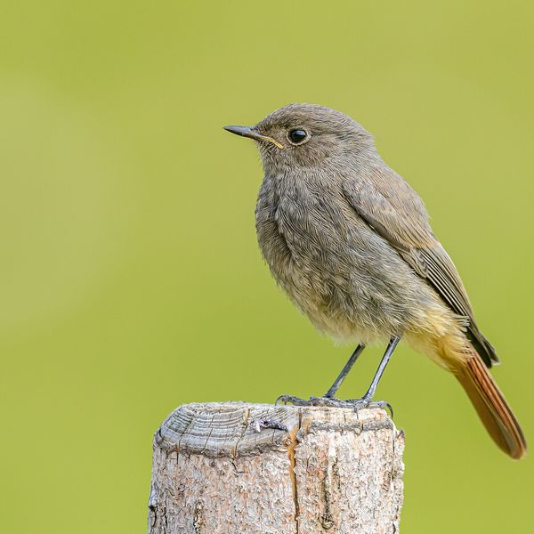
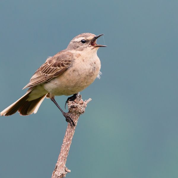
Where to meet it
Trails
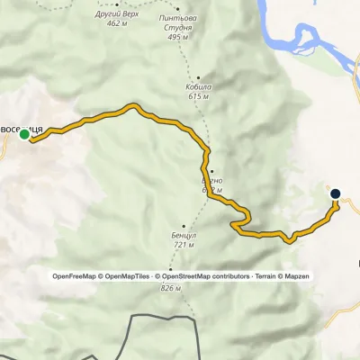 EasyOne-dayMarkedPyntia's PathElevation profile176–628 m10.3 kmascent 331 m≈ 3 h walking
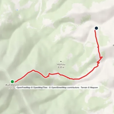 EasyOne-dayMount Zhyd-Mahura Izky villageElevation profile619–1 517 m6.9 kmascent 103 m≈ 2 h walking
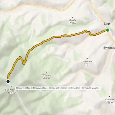 ModerateOne-dayMarkedIzky village Mount Zhyd-Mahura (yellow trail)Elevation profile541–1 456 m8.5 kmascent 944 m≈ 4 h walking
 HardMulti-dayMyslivka village to Mizhhiriavia Mount Moloda, Mount Popadia +3Elevation profile436–1 748 m117 kmascent 6 587 m
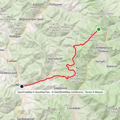 HardMulti-dayLake Synevyr to Mizhhiriavia Mount Ozerna, Mount Kamianka +2Elevation profile440–1 518 m24.7 kmascent 1 614 m≈ 9.5 h walking
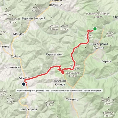 HardMulti-dayLake Synevyr to Mizhhiriavia Mount Ozerna, Mount Kamianka +2Elevation profile426–1 578 m31.1 kmascent 1 069 m≈ 10 h walking
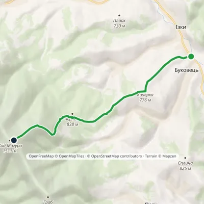 ModerateOne-dayMarkedIzky village Mount Zhyd-Mahura (green trail)Elevation profile536–1 500 m7.7 kmascent 1 027 m≈ 4 h walking
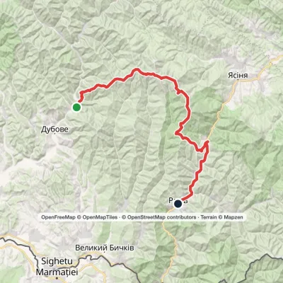 HardMulti-dayKrasna village to Rakhivvia the Svydovets ridgeElevation profile432–1 883 m67.3 kmascent 2 198 m
 HardMulti-dayMarkedKvasy village to Yasiniavia Mount Blyznytsia, Mount Stih +4Elevation profile556–1 883 m41 kmascent 2 390 m
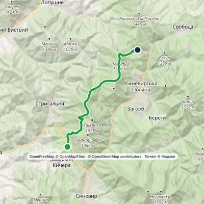 ModerateTwo-dayMarkedSynevyr Pass Lake Synevyrvia Mount OzernaElevation profile851–1 521 m17 kmascent 1 112 m≈ 6.5 h walking
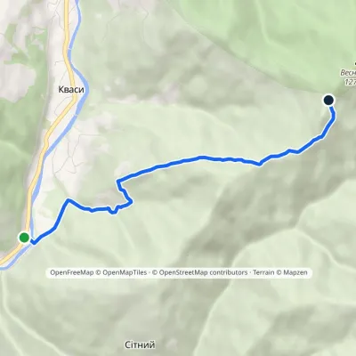 EasyOne-dayMarkedSitnyi Menchul (Kvasy village)Elevation profile509–1 216 m4.8 kmascent 707 m≈ 2.5 h walking
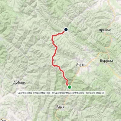 HardMulti-dayKvasy village to Bystrytsia villagevia Mount Blyznytsia, Mount Tataruka +1Elevation profile539–1 883 m49.8 kmascent 2 901 m
Waters and waterfalls
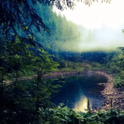 LakeLake Rosokhan (Osmoloda, Gorgany)OsmolodaThe little-known mountain lake Rosokhan (Osmoloda, Ivano-Frankivsk region) is a hydrological natural monument of...
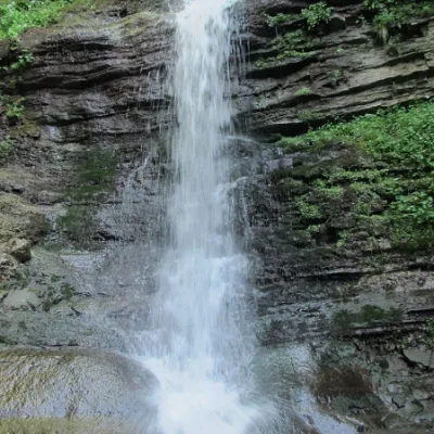 WaterfallLazny waterfallDrohobych districtLaznyi is a waterfall in the Ukrainian Carpathians (in the Skole Beskydy massif), a hydrological natural monument of...
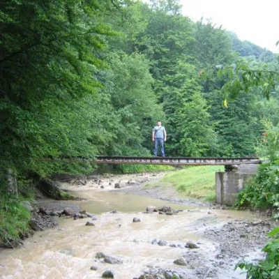 WaterfallMikva waterfallVyzhenkaThe Mykva Waterfall is a small but very picturesque waterfall located in the village of Vyzhenka, Chernivtsi region.
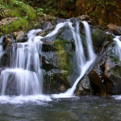 WaterfallKamianka waterfallDubyna"Kamianka Waterfall or Kamianka Waterfall is the most famous waterfall located on the mountain river of the same name...
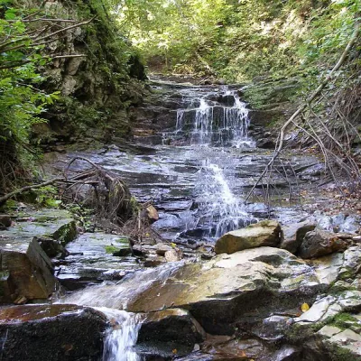 WaterfallChemernarsky waterfall Lower HookDolishnii ShepitThe Chemernarsky Lower Hook Waterfall (also known as Lower Shepit) is located in Dolishnyi Shepit, in the western...
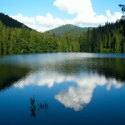 LakeSynevyr Lake Synevyrska PolyanaSynevyrska PolyanaLake Synevyr, located on the territory of the National Nature Park of the same name in Mizhhirya district of...
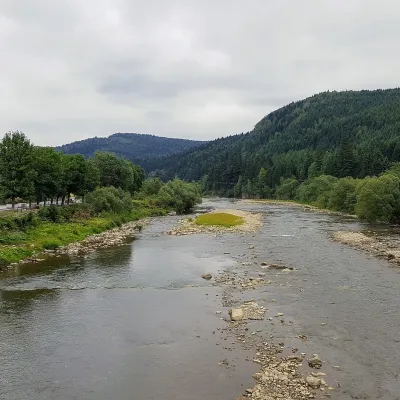 RiverOpir RiverSkoleThe Opir is a 58-km mountain river of the Skole Beskids. It rises on the eastern slope of Mount Velykyi Yavirnyk,...
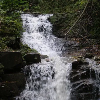 WaterfallChemernarsky Hook waterfallDolishnii ShepitChemernarsky Huk Waterfall is a small but very beautiful waterfall located in the village of Dolishniy Shepit,...
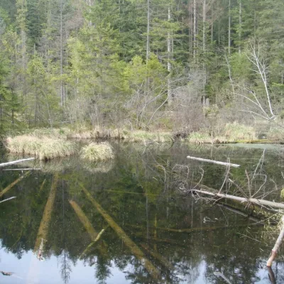 LakeLake Zhuravlyne (Dead Lake)KamiankaThere is one mysterious place in the Skole Beskydy National Nature Park - Zhuravlyne Lake, also called Dead Lake.
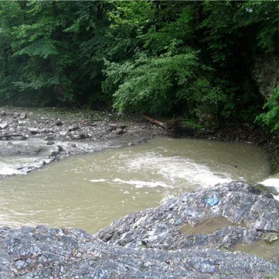 RiverVyzhenka RiverVyzhenkaTheriver Vyzhenka is located in the village of the same name in the Chernivtsi region.
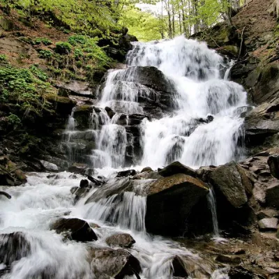 Waterfall"Shypit Waterfall" PylypetsPylypetsIn a cozy corner of the Carpathian Mountains, among the evergreen mountain forests and steep, sharp cliffs, lies the...
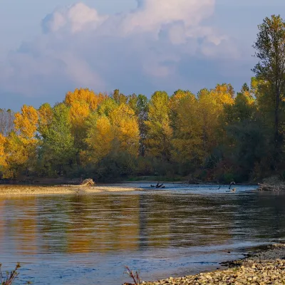 RiverTysa River (Tisza)RakhivThe Tysa (Tisza) is the main river of Zakarpattia. It begins on the north-eastern edge of Rakhiv, where the Chorna...
Mountain ranges: Bieszczady, Skole Beskids. In other countries: 🇸🇰 Western Tatras, 🇨🇿 Moravian-Silesian Beskids, 🇸🇰 High Tatras, 🇷🇴 Piatra Craiului, 🇵🇱 Żywiec Beskids, 🇷🇴 Bucegi Mountains, 🇸🇰 Low Tatras, 🇵🇱 Silesian Beskids, 🇵🇱 Pieniny, 🇭🇺 Bükk, 🇭🇺 Börzsöny and Cserhát, 🇸🇰 Slovak Ore Mountains
Trails and peaks near which naturalists recorded the species (GBIF, iNaturalist), matched by altitude and habitat. Sightings are not guaranteed.
Sources
- Вікіпедія: Плиска гірська
- Wikipedia (en): Grey wagtail
- Wikipedia (pl): Pliszka górska
- Перелік видів тварин, що заносяться до Червоної книги України (наказ Міндовкілля від 19.01.2021 № 29, зареєстровано в Мін'юсті 01.03.2021 за № 260/35882)
- Міндовкілля: текст переліку видів тварин Червоної книги України (PDF)
- GBIF: таксон і категорія МСОП
GBIF · iNaturalist · Wikidata · Distribution data: GBIF.org (CC0 and CC BY records), iNaturalist; names and identifiers: Wikidata (CC0). Text: Karpaty.rocks, checked 09.11.2026.
