Black redstart
About
The Black redstart is a bird of cliffs and buildings. In nature, it inhabits rocky slopes, cliffs, and screes, while it readily settles in villages and cities near humans. In Ukraine, it nests almost throughout the territory, except for most of Crimea, and in the Carpathians, it can be found from villages in the valleys to rocky peaks. In the Alps, it has been observed at altitudes of up to 3200 m above sea level.
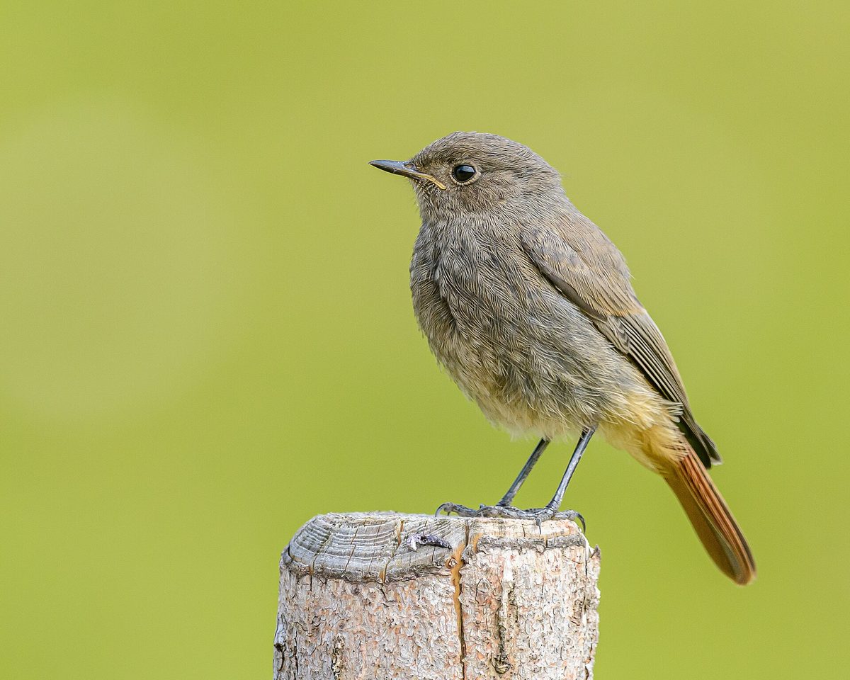
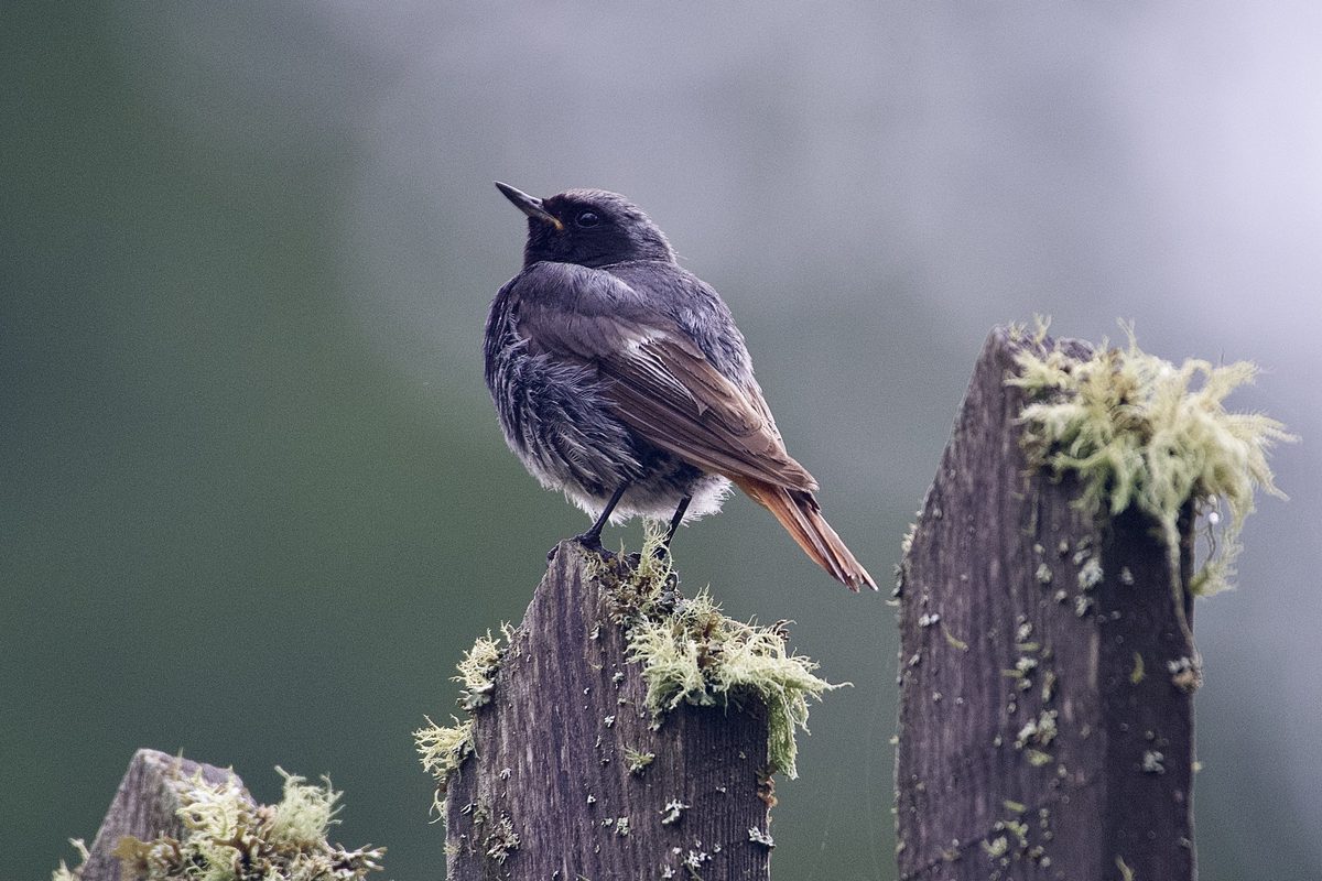
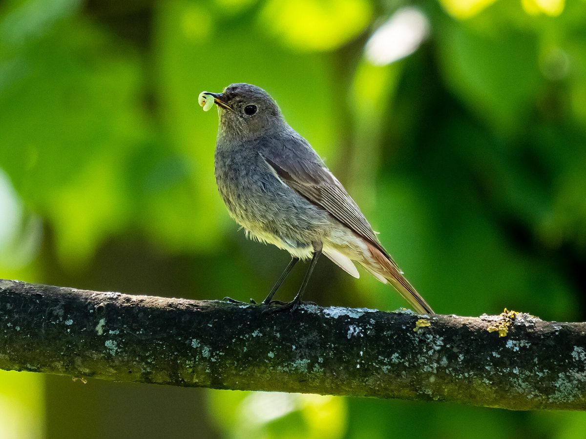
The bird is about 14 cm long and weighs 14–19 g. The male is dark gray, almost black on the throat and chest, with a light spot on the wing, while the female is grayish-brown. Both are distinguished by a bright reddish tail, which the bird constantly flicks while sitting on a stone, fence, or roof.
The Black redstart builds its nests in a variety of cavities and crevices — in cliffs, in stone or brick walls, under eaves, in attics, and even in piles of stones; it also occupies artificial nesting sites and old swallow nests. The typical clutch contains five white eggs, and the chicks leave the nest at the age of 12–16 days.
Compared to other insectivorous birds, the Black redstart migrates late and returns early. It arrives in the Carpathians at the end of March to early April and departs in early October, wintering in Southern Europe, North Africa, and Western Asia. The Black redstart is not listed in the Red Data Book of Ukraine.
Where in the Carpathians

The map shows where naturalists recorded the species (GBIF, CC0 and CC BY records), not every place it lives. The Ukrainian Carpathians are less studied, so a blank area does not mean the species is absent.
- Countries
- Slovakia · Czechia · Poland · Romania · Hungary · Ukraine · Austria · Serbia · BG
- Mountain ranges
- High Tatras, Western Tatras, Moravian-Silesian Beskids, Bucegi Mountains, Low Tatras, Skole Beskids, Bieszczady, Bükk, Piatra Craiului, Silesian Beskids
- Altitude belts
- Foothills (below 600 m) · Beech forests (600–1200 m)
When to see it
| Jan | Feb | Mar | Apr | May | Jun | Jul | Aug | Sep | Oct | Nov | Dec | |
|---|---|---|---|---|---|---|---|---|---|---|---|---|
| Sightings |
From naturalists’ observations in the Carpathians (iNaturalist, research grade): the darker the cell, the more often the species is seen that month.
Protection and rules
Not listed in the Red Data Book of Ukraine.
FAQ
What is that dark bird with a reddish tail sitting on the roof?
Most likely, it is the Black redstart. It nests in buildings and on cliffs and constantly flicks its reddish tail.
When does the Black redstart arrive in the Carpathians?
At the end of March to early April, and it departs in early October.
Similar species
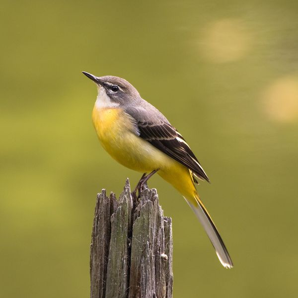
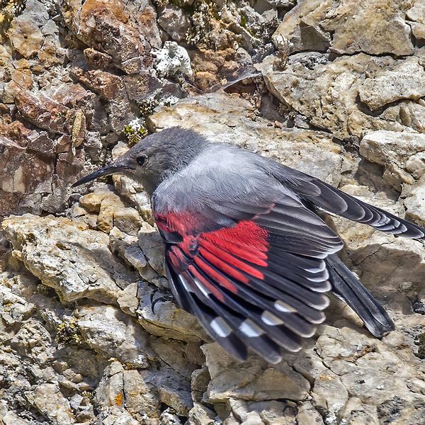
Where to meet it
Trails
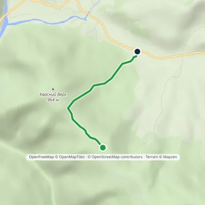 EasyOne-dayMarkedTo Mount Kvasnyi VerkhElevation profile582–984 m2.2 kmascent 402 m≈ 1.5 h walking
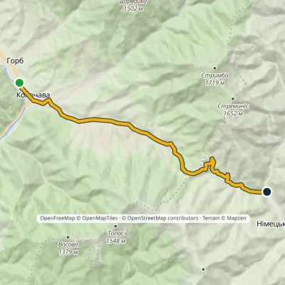 ModerateOne-dayMarkedHorb village sparkling mineral springElevation profile550–926 m14 kmascent 378 m≈ 4.5 h walking
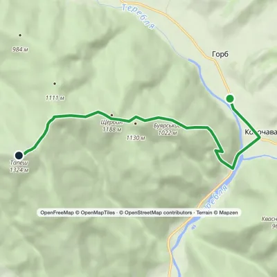 ModerateOne-dayMarkedKolochava TapeshElevation profile544–1 324 m6.7 kmascent 837 m≈ 3.5 h walking
Peaks and meadows
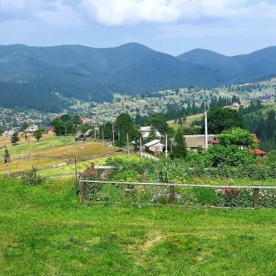 PeakMount OseredokVorokhtaaltitude 915 m · Chornohora range1 trail to the topOseredok is a modest 915 m summit right above Vorokhta (about 2 km), north of the Chornohora range, in Ivano...
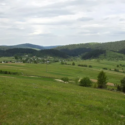 PeakMount RozluchRozluchaltitude 933 m1 trail to the topRozluch is a 933 m mountain in the Upper Dniester Beskids, the highest point of the Rozluch ridge.
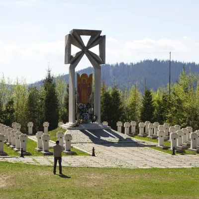 PeakMount MakivkaSlavskealtitude 958 m2 trails to the topMakivka is a mountain in the High Beskid about 8 km north of the town of Slavske in Lviv Oblast.
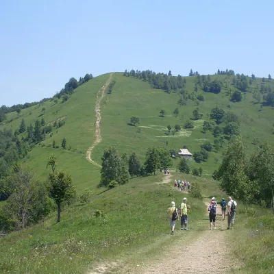 Mountain meadow984 mMount Makovytsia, YaremcheYaremcheMakovytsia (984 m) is a mountain of the Gorgany range on the eastern edge of Yaremche, in the Carpathian National...
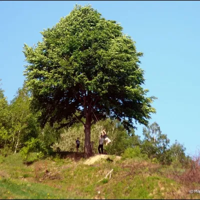 PeakMount KicheraKosivaltitude 567 mThe march to Kichera is an easy walk that all tourists can do. The small length of the march allows you to take your...
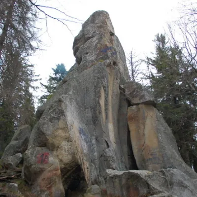 PeakWhite Stone RockDoraaltitude 538 m7 trails to the topThe White Stone Rock is located in the village of Dora in the Carpathians and is one of the most prominent natural...
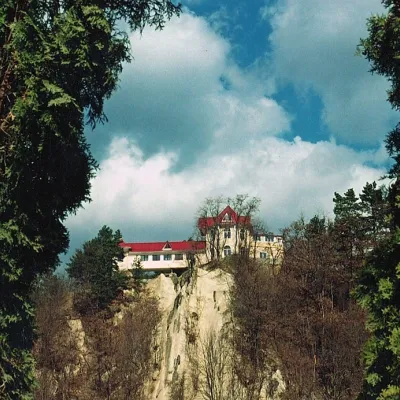 PeakCastle Hill (City)Kosivaltitude 450 mThe top offers a panoramic view of the city. The mountain is home to unique black alpine pines, as well as deciduous...
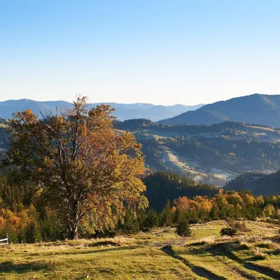 Mountain meadow1 200 mPolonyna SmotrychDzembroniaSmotrych Polonyna is a summer mountain pasture on the north-eastern spur of Mount Smotrych (1,898 m) in the...
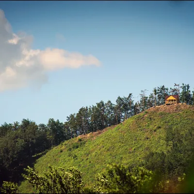 PeakMount Ostry (Ostra)Kosivaltitude 584 m2 trails to the topThe mountain offers wonderful views of the entire Kosiv. The descent is steep, and autumn is magical here.
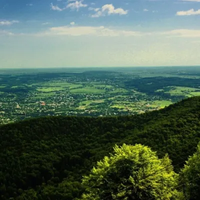 PeakMount Mykhalkova (Kosiv)Kosivaltitude 812 m2 trails to the topMount Mykhalkova (Mykhalkiv), with a height of 812 meters, is part of the Pokuttya Carpathians.
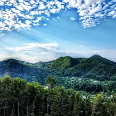 PeakMount Sopka (Stizhky, Zinyakov top).Kosivaltitude 620 m2 trails to the topStizhki (620 meters) offers a panoramic view of the city of Kosiv. The mountain is covered with forests - beech,...
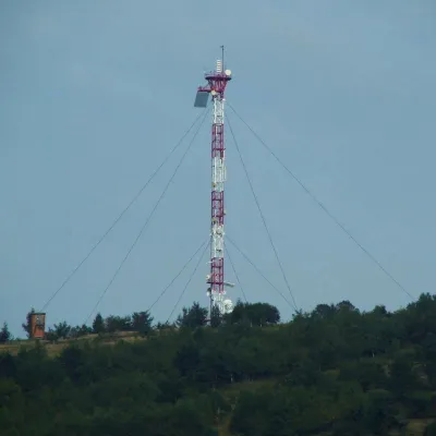 PeakMount Horodyshche (Boryslav)Boryslavaltitude 646 mHorodyshche (646 m; other sources give 641.8 m) is a hill in the Upper Dniester Beskids and the highest point of the...
Waters and waterfalls
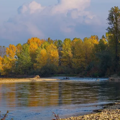 RiverTysa River (Tisza)RakhivThe Tysa (Tisza) is the main river of Zakarpattia. It begins on the north-eastern edge of Rakhiv, where the Chorna...
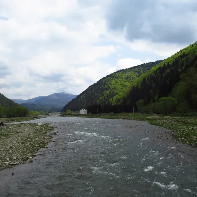 RiverTereblia RiverKolochavaThe Tereblia begins in the Inner Gorgany, where the Roztoka and Sloboda streams meet, and flows through Synevyrska...
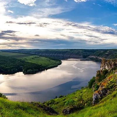 RiverDniesterVovcheThe Dniester is one of the most famous and largest rivers in Ukraine. The Dniester has been used as an important...
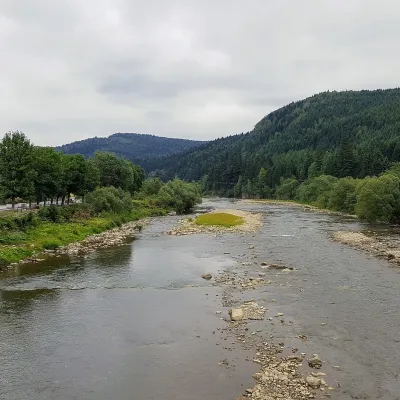 RiverOpir RiverSkoleThe Opir is a 58-km mountain river of the Skole Beskids. It rises on the eastern slope of Mount Velykyi Yavirnyk,...
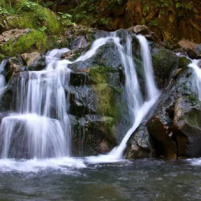 WaterfallKamianka waterfallDubyna"Kamianka Waterfall or Kamianka Waterfall is the most famous waterfall located on the mountain river of the same name...
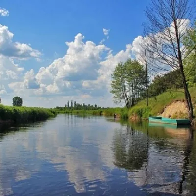 RiverTuria RiverTuri RemetyThe Turia is a small mountain river in western Zakarpattia and a right tributary of the Uzh.
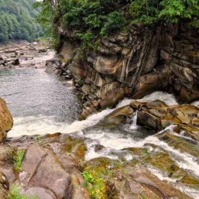 WaterfallProbiy waterfall, YaremcheYaremcheProbiy Waterfall is located in the heart of the Carpathian Mountains, in the city of Yaremche.
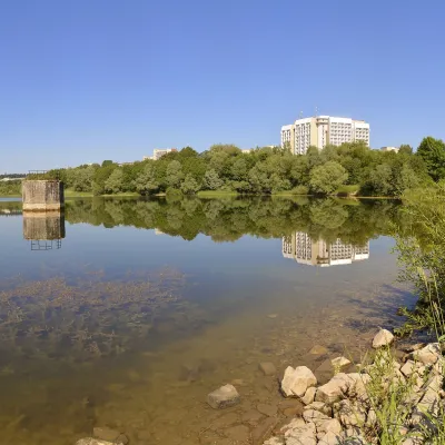 LakeTruskavets ReservoirTruskavetsTruskavets Reservoir, known locally as Lake Solonytsia, lies on the south-eastern edge of Truskavets, next to the...
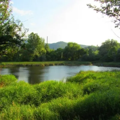 LakeCity Banske Lake (Kosiv)KosivThere are lakes of technogenic origin in the Hutsul mountains. One such lake is Banske Lake (near the former factory ...
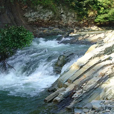 WaterfallKosivskyi Huk WaterfallKosivKosivskyi Huk - one of the most beautiful waterfalls in the Ukrainian Carpathians (in the Pokuttya-Bukovyna...
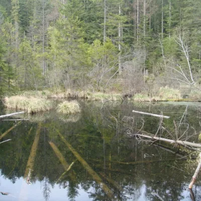 LakeLake Zhuravlyne (Dead Lake)KamiankaThere is one mysterious place in the Skole Beskydy National Nature Park - Zhuravlyne Lake, also called Dead Lake.
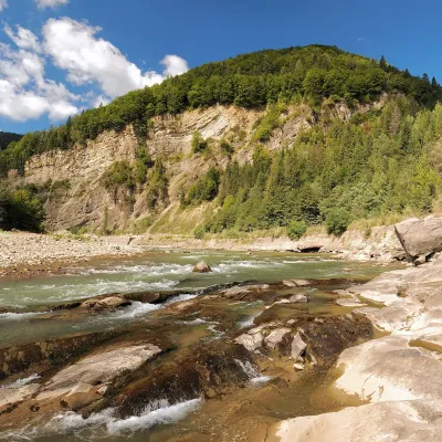 RiverCheremosh RiverVyzhnytsiaThe Cheremosh is born near Usteriky, where the Chornyi Cheremosh and the Bilyi Cheremosh meet.
Mountain ranges: Skole Beskids, Bieszczady. In other countries: 🇸🇰 High Tatras, 🇸🇰 Western Tatras, 🇨🇿 Moravian-Silesian Beskids, 🇷🇴 Bucegi Mountains, 🇸🇰 Low Tatras, 🇭🇺 Bükk, 🇷🇴 Piatra Craiului, 🇵🇱 Silesian Beskids, 🇵🇱 Żywiec Beskids, 🇸🇰 Greater Fatra, 🇷🇴 Bihor-Vlădeasa Mountains, 🇸🇰 Slovak Ore Mountains
Trails and peaks near which naturalists recorded the species (GBIF, iNaturalist), matched by altitude and habitat. Sightings are not guaranteed.
Sources
- Вікіпедія: Горихвістка чорна
- Wikipedia (en): Black redstart
- Перелік видів тварин, що заносяться до Червоної книги України (наказ Міндовкілля від 19.01.2021 № 29, зареєстровано в Мін'юсті 01.03.2021 за № 260/35882)
- Міндовкілля: текст переліку видів тварин Червоної книги України (PDF)
- GBIF: таксон і категорія МСОП
GBIF · iNaturalist · Wikidata · Distribution data: GBIF.org (CC0 and CC BY records), iNaturalist; names and identifiers: Wikidata (CC0). Text: Karpaty.rocks, checked 09.11.2026.
