European robin
About
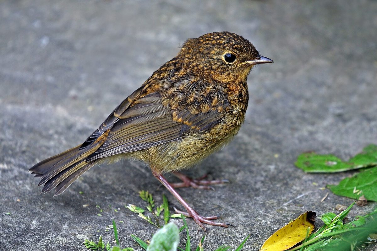
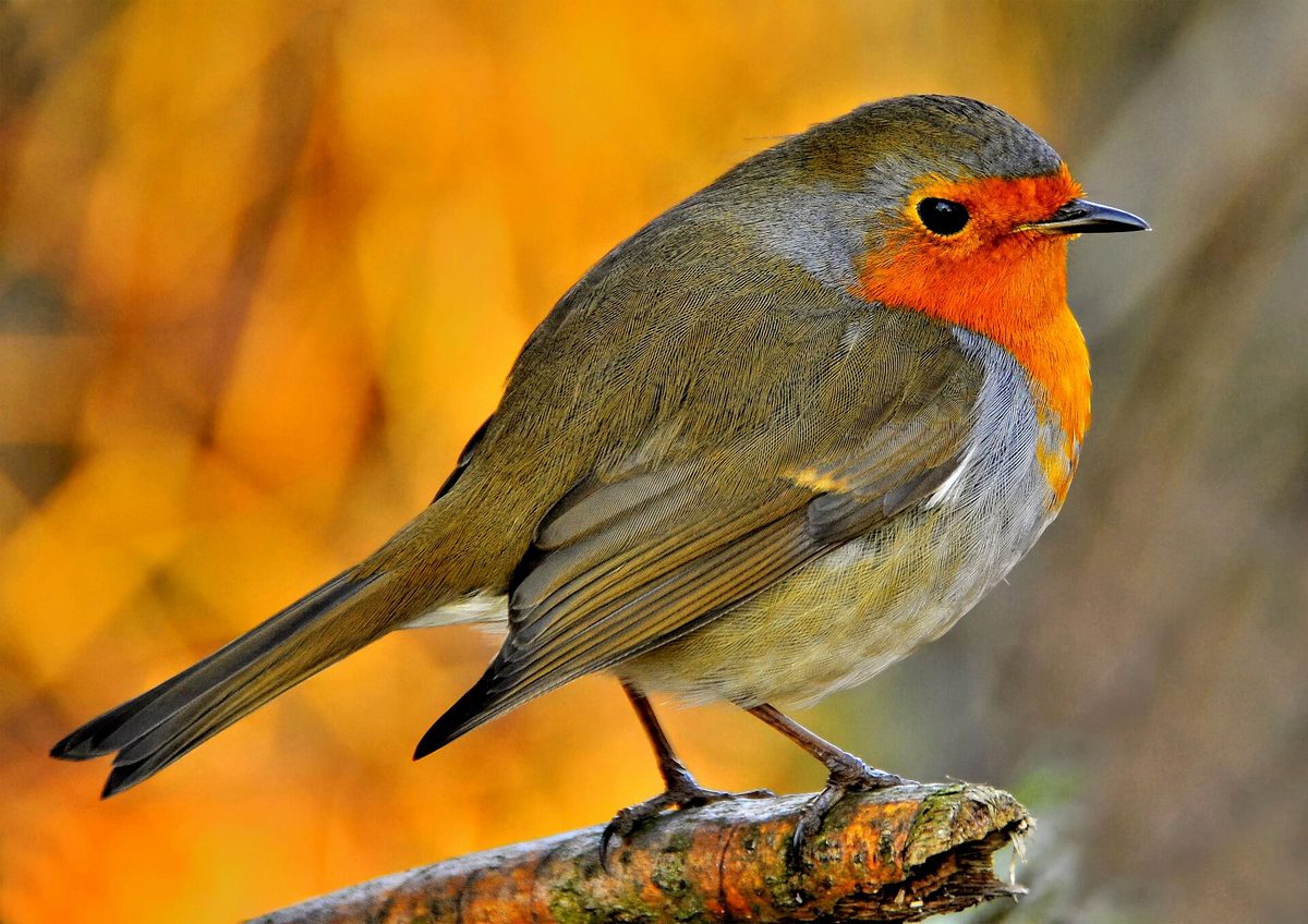
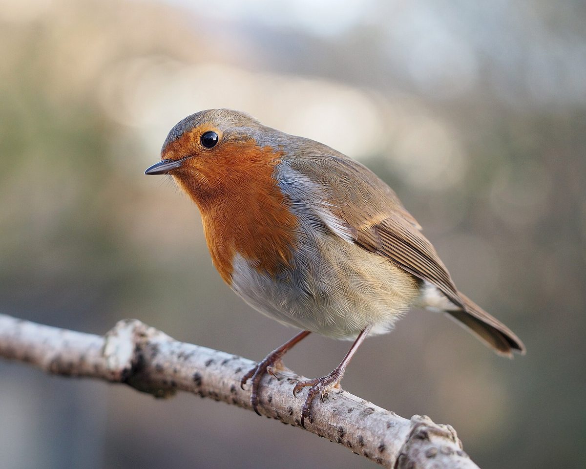
The European robin is a small forest bird easily recognized by its orange-red breast and forehead against an olive-brown back. It is about 14 cm long and weighs 16–22 g. In Ukraine, the European robin nests in forest and forest-steppe zones, in the Carpathians— in shaded deciduous and mixed forests with undergrowth, at forest edges, and in old gardens. It is estimated that there are 1.65–2 million pairs of European robins nesting in Ukraine.
The song of the European robin is one of the most beautiful bird songs: a fast, melodic, somewhat melancholic stream of tinkling sounds. It often sings at dusk, so its voice is frequently heard in the forest when other birds have already quieted down. The European robin is not very afraid of people and even stays near wild boars that dig up the ground, waiting for worms and insects that come to the surface.
The European robin builds its nest on the ground or very close to the ground, in a well-protected place—under tree roots, at the base of bushes, in the cavities of decayed stumps, or under a leaning trunk. Therefore, in spring, it is advisable not to stray off the path and rummage in the bushes.
In the northern parts of the European robin's range, they are migratory, while in southern and western Europe, they are resident. Most birds leave Ukraine, but some winter, mainly in the southern part of the country. The European robin is not listed in the Red Data Book of Ukraine.
Where in the Carpathians

The map shows where naturalists recorded the species (GBIF, CC0 and CC BY records), not every place it lives. The Ukrainian Carpathians are less studied, so a blank area does not mean the species is absent.
- Countries
- Slovakia · Czechia · Poland · Hungary · Romania · Ukraine · Serbia · Austria · BG
- Mountain ranges
- Börzsöny and Cserhát, Volovec Mountains, Moravian-Silesian Beskids, Skole Beskids, Western Tatras, High Tatras, Bucegi Mountains, Bükk, Slovak Ore Mountains, Żywiec Beskids
- Altitude belts
- Foothills (below 600 m) · Beech forests (600–1200 m)
When to see it
| Jan | Feb | Mar | Apr | May | Jun | Jul | Aug | Sep | Oct | Nov | Dec | |
|---|---|---|---|---|---|---|---|---|---|---|---|---|
| Sightings |
From naturalists’ observations in the Carpathians (iNaturalist, research grade): the darker the cell, the more often the species is seen that month.
Protection and rules
Not listed in the Red Data Book of Ukraine.
FAQ
What bird with an orange breast is in the forest?
This is the European robin—a small forest bird about 14 cm long with an orange-red breast and forehead.
Who sings in the forest at dusk?
Often it is the European robin: its melodic tinkling song can be heard in the evening when other birds have already quieted down.
Similar species
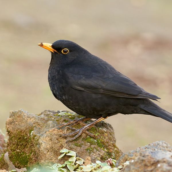
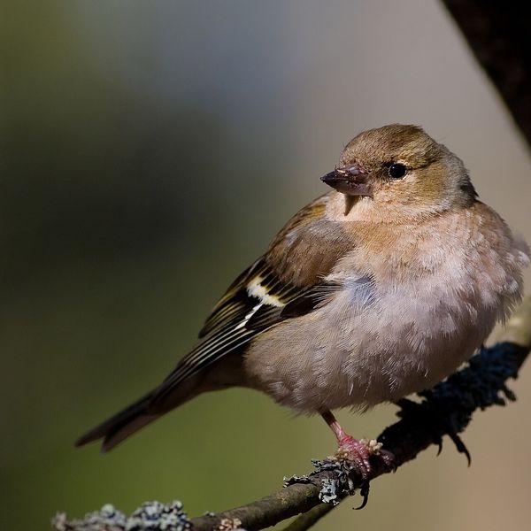
Where to meet it
Trails
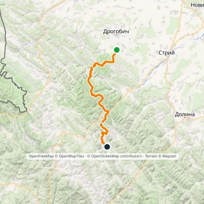 HardMulti-dayMarkedNo. 504 Truskavets SlavskoElevation profile349–1 168 m88.5 kmascent 4 090 m
 HardMulti-dayDubyna village to Tukhlia villagevia Kamianka Waterfall, Mount Lopata +1Elevation profile418–1 233 m38.8 kmascent 1 600 m≈ 13 h walking
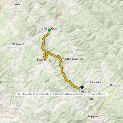 HardTwo-dayMarkedNo. 5011 Slavsko «Where Three Regions Meet»Elevation profile592–1 287 m24.5 kmascent 1 326 m≈ 9 h walking
 HardMulti-dayTukhlia village to Skolevia Mount Kindrat, Mount Matahiv +2Elevation profile445–1 265 m29.6 kmascent 1 569 m≈ 10.5 h walking
 HardMulti-daySlavske village to Lake Synevyrvia the Bukovets PassElevation profile587–1 306 m53.8 kmascent 1 585 m
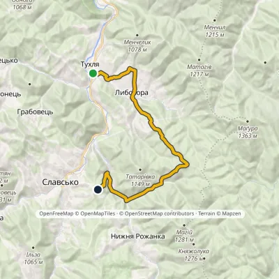 ModerateTwo-dayMarkedNo. 5002 Tukhlia Slavskovia LybokhoraElevation profile542–951 m20.3 kmascent 815 m≈ 6.5 h walking
 HardTwo-dayTukhlia village to Slavskevia Mount MakivkaElevation profile521–1 090 m23.2 kmascent 1 065 m≈ 8 h walking
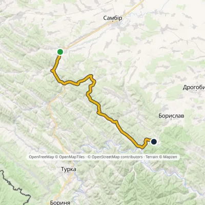 HardMulti-dayMarkedNo. 503-1 Staryi Sambir SkhidnytsiaElevation profile340–826 m57 kmascent 1 054 m
 ModerateTwo-dayHrebeniv village to Skolevia Kudriavets village, Lopata villageElevation profile437–1 242 m16.9 kmascent 779 m≈ 6 h walking
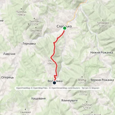 ModerateOne-dayMarkedNo. 5001 Slavske Volosianka villagevia Mount IlzaElevation profile599–1 065 m9.1 kmascent 492 m≈ 3.5 h walking
 ModerateTwo-dayHrebeniv village to Skolevia Mount Kudriavets, Mount LopataElevation profile437–1 242 m18 kmascent 780 m≈ 6 h walking
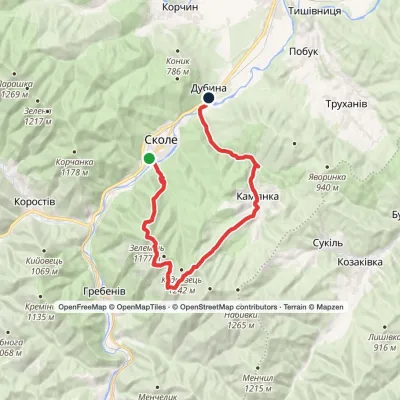 HardMulti-daySkole to Dubyna villagevia Mount Lopata, Kamianka WaterfallElevation profile418–1 211 m25.7 kmascent 986 m≈ 8.5 h walking
Peaks and meadows
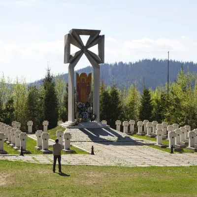 PeakMount MakivkaSlavskealtitude 958 m2 trails to the topMakivka is a mountain in the High Beskid about 8 km north of the town of Slavske in Lviv Oblast.
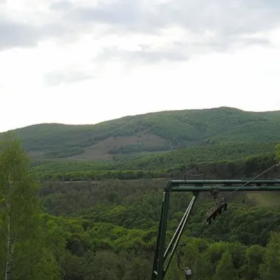 PeakMount BuzhoraOsiialtitude 1 085 m · Volcanic Carpathians range1 trail to the topMount Buzhora is the highest peak of the Volcanic Ridge of Ukrainian Carpathians.
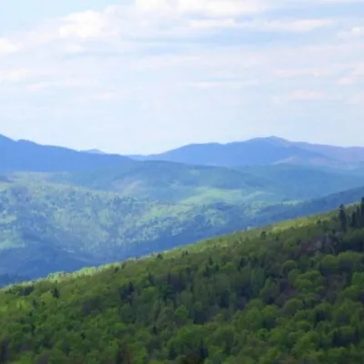 PeakMount KlyuchKamiankaaltitude 927 m · Skole Beskids range2 trails to the topMount Klyuch is one of the peaks of the ridge in the Skole Beskydy, which starts from the Sukel River (Bukivets...
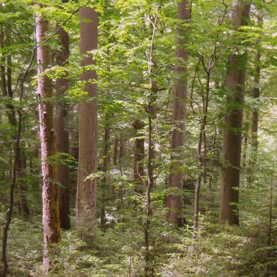 PeakMount KalnytsiaStuzhytsiaaltitude 1 004 mKalnytsia (Slovak: Kalnica) is a 1,004 m mountain on the state border between Ukraine and Slovakia, in the Bukovské...
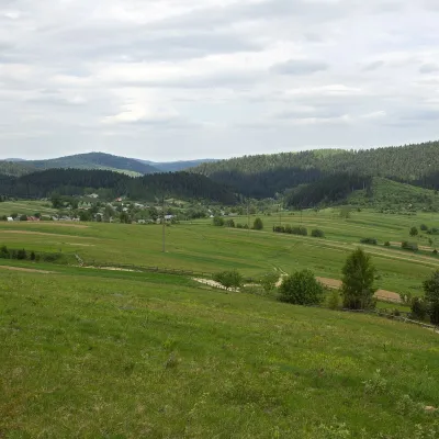 PeakMount RozluchRozluchaltitude 933 m1 trail to the topRozluch is a 933 m mountain in the Upper Dniester Beskids, the highest point of the Rozluch ridge.
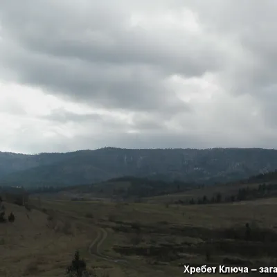 PeakMount YavorinkaTrukhanivaltitude 940 m3 trails to the topThe top of Mount Yavorinka is 940 meters above sea level. Mount Yavorinka is the highest peak of the Klyucha ridge,...
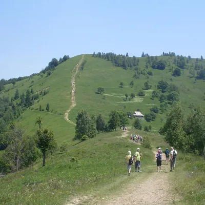 Mountain meadow984 mMount Makovytsia, YaremcheYaremcheMakovytsia (984 m) is a mountain of the Gorgany range on the eastern edge of Yaremche, in the Carpathian National...
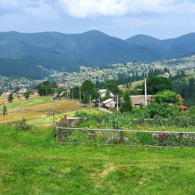 PeakMount OseredokVorokhtaaltitude 915 m · Chornohora range1 trail to the topOseredok is a modest 915 m summit right above Vorokhta (about 2 km), north of the Chornohora range, in Ivano...
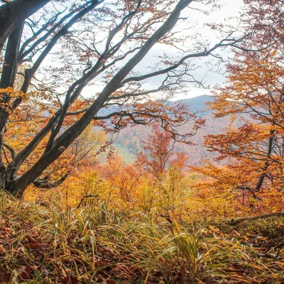 PeakMount Dil (Krushelnytsia)Krushelnytsiaaltitude 899 m · Skole Beskids rangeIt lies north-east of the Parashka ridge, about 2.6 km from Parashka itself (1,268 m), and rises above the village of...
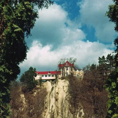 PeakCastle Hill (City)Kosivaltitude 450 mThe top offers a panoramic view of the city. The mountain is home to unique black alpine pines, as well as deciduous...
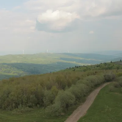 PeakMount TsiukhivOrivaltitude 939 m · Gorgany range6 trails to the topTsiukhiv (also Tsiukhiv Dil or Tsiukhiv Verkh) is a 939 m mountain (939.4 m exactly; old maps give 942 m or 931 m) in...
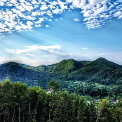 PeakMount Sopka (Stizhky, Zinyakov top).Kosivaltitude 620 m2 trails to the topStizhki (620 meters) offers a panoramic view of the city of Kosiv. The mountain is covered with forests - beech,...
Waters and waterfalls
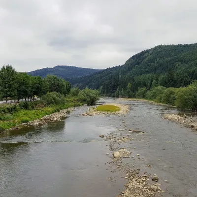 RiverOpir RiverSkoleThe Opir is a 58-km mountain river of the Skole Beskids. It rises on the eastern slope of Mount Velykyi Yavirnyk,...
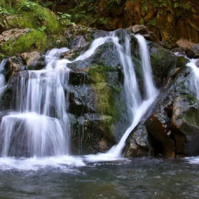 WaterfallKamianka waterfallDubyna"Kamianka Waterfall or Kamianka Waterfall is the most famous waterfall located on the mountain river of the same name...
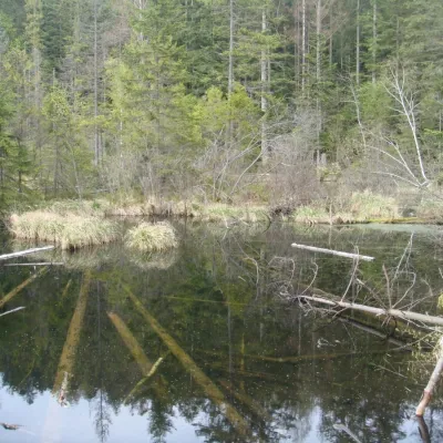 LakeLake Zhuravlyne (Dead Lake)KamiankaThere is one mysterious place in the Skole Beskydy National Nature Park - Zhuravlyne Lake, also called Dead Lake.
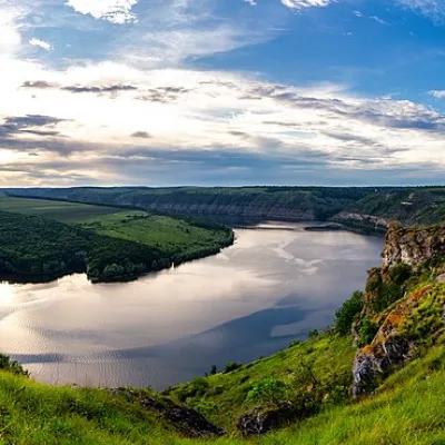 RiverDniesterVovcheThe Dniester is one of the most famous and largest rivers in Ukraine. The Dniester has been used as an important...
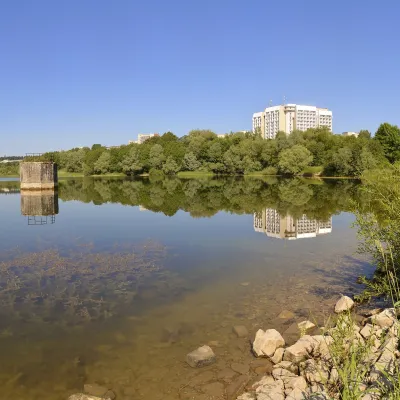 LakeTruskavets ReservoirTruskavetsTruskavets Reservoir, known locally as Lake Solonytsia, lies on the south-eastern edge of Truskavets, next to the...
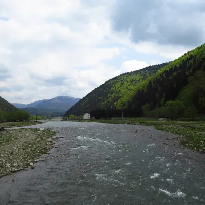 RiverTereblia RiverKolochavaThe Tereblia begins in the Inner Gorgany, where the Roztoka and Sloboda streams meet, and flows through Synevyrska...
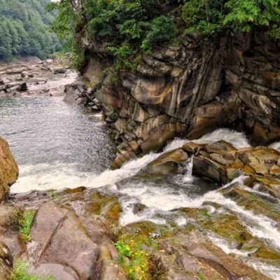 WaterfallProbiy waterfall, YaremcheYaremcheProbiy Waterfall is located in the heart of the Carpathian Mountains, in the city of Yaremche.
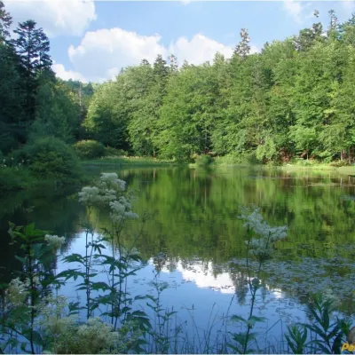 LakeMountain Polyanytske Lake (Dead Lake)BukovetsMountain Lake (another name - Dead Lake) is a picturesque mountain lake of natural origin in the Ukrainian...
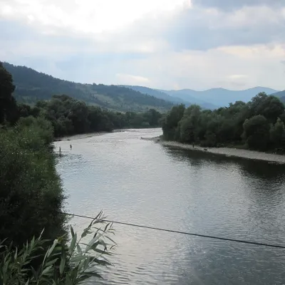 RiverStryi RiverTurkaThe Stryi is one of the largest Carpathian tributaries of the Dniester: 232 km from its source between Mount Yavirnyk...
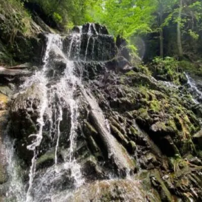 WaterfallYavorivska Niagara waterfallYavorivThe waterfall, or rather a cascade of waterfalls, is located on the bed of the Bedzvinnii stream and is situated...
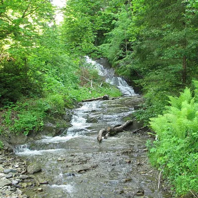 WaterfallYavorivskyi Huk waterfallYavorivYavorivskyi Huk is a 6-meter-highcascading waterfall, a geological natural monument of local importance in Ukraine.
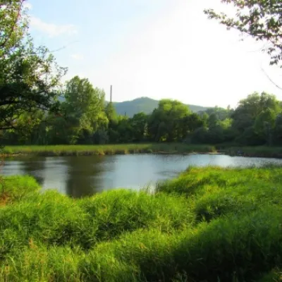 LakeCity Banske Lake (Kosiv)KosivThere are lakes of technogenic origin in the Hutsul mountains. One such lake is Banske Lake (near the former factory ...
Mountain ranges: Skole Beskids, Bieszczady. In other countries: 🇭🇺 Börzsöny and Cserhát, 🇸🇰 Volovec Mountains, 🇨🇿 Moravian-Silesian Beskids, 🇸🇰 Western Tatras, 🇸🇰 High Tatras, 🇷🇴 Bucegi Mountains, 🇭🇺 Bükk, 🇸🇰 Slovak Ore Mountains, 🇵🇱 Żywiec Beskids, 🇸🇰 Low Tatras, 🇵🇱 Silesian Beskids, 🇸🇰 Little Carpathians
Trails and peaks near which naturalists recorded the species (GBIF, iNaturalist), matched by altitude and habitat. Sightings are not guaranteed.
Sources
- Вікіпедія: Вільшанка (птах)
- Wikipedia (en): European robin
- Wikipedia (pl): Rudzik (ptak)
- Перелік видів тварин, що заносяться до Червоної книги України (наказ Міндовкілля від 19.01.2021 № 29, зареєстровано в Мін'юсті 01.03.2021 за № 260/35882)
- Міндовкілля: текст переліку видів тварин Червоної книги України (PDF)
- GBIF: таксон і категорія МСОП
GBIF · iNaturalist · Wikidata · Distribution data: GBIF.org (CC0 and CC BY records), iNaturalist; names and identifiers: Wikidata (CC0). Text: Karpaty.rocks, checked 09.11.2026.
