Eurasian chaffinch
About
The Eurasian chaffinch is one of the most numerous birds in Ukraine and probably the loudest singer of the spring Carpathian forest. It nests throughout the country, in deciduous, mixed, and coniferous forests, in parks and gardens. Most birds migrate for the winter, but in the south and in Transcarpathia, Eurasian chaffinches regularly winter, and solitary birds or flocks can be found in other places during winter.
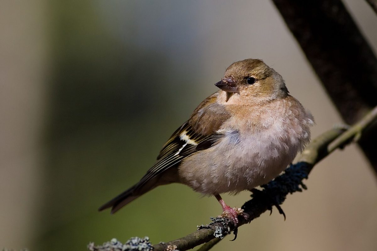
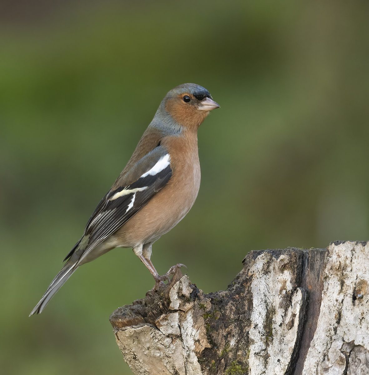
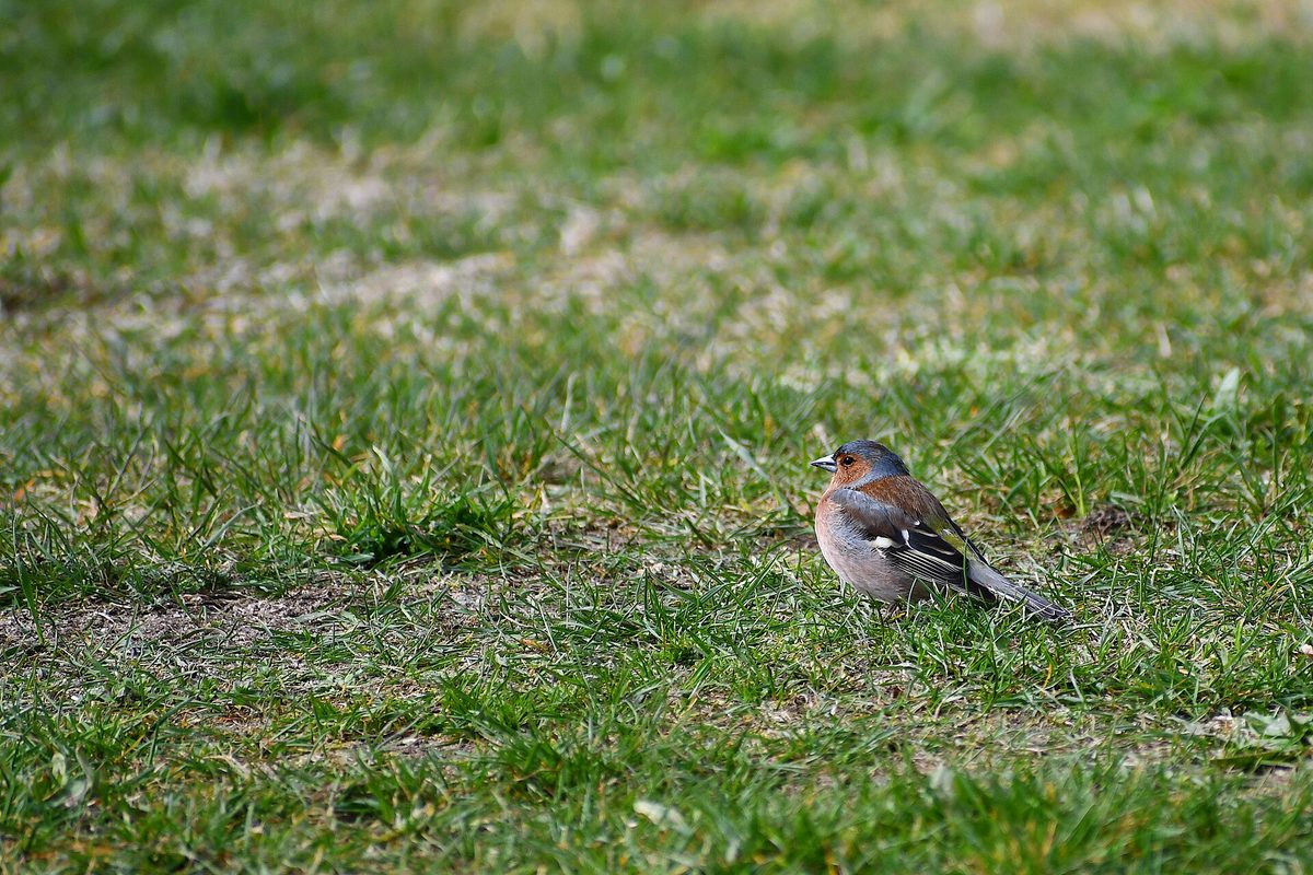
The bird is about the size of a sparrow: approximately 14 cm long, with a wingspan of 24–28 cm and a weight of 18–29 g. In spring, the male is particularly beautiful: the head and nape are bluish, the chest and cheeks are pinkish-red, and there are two white stripes on the wings. The female is more modest, olive-gray, but also has white stripes on the wings.
The song of the Eurasian chaffinch is the easiest to recognize. It is a ringing trill consisting of three parts — an introduction, the trill itself, and a short sharp 'stroke' at the end. The song lasts 2–3 seconds, and after a pause of 7–10 seconds, it sounds again. Only males sing, and one bird can have from one to six, occasionally up to ten, variations of the song. Young males learn to sing by imitating older ones, so in different areas, Eurasian chaffinches have their own song 'dialects'. The Eurasian chaffinch tolerates cold better than many other migratory birds.
Once, Eurasian chaffinches were mass-caught and kept in cages due to their ringing song. Currently, the Eurasian chaffinch is not listed in the Red Book of Ukraine; it is best to listen to it right on the trail.
Where in the Carpathians

The map shows where naturalists recorded the species (GBIF, CC0 and CC BY records), not every place it lives. The Ukrainian Carpathians are less studied, so a blank area does not mean the species is absent.
- Countries
- Slovakia · Czechia · Poland · Romania · Hungary · Ukraine · Serbia · Austria · BG
- Mountain ranges
- Börzsöny and Cserhát, Moravian-Silesian Beskids, Volovec Mountains, Western Tatras, High Tatras, Skole Beskids, Bucegi Mountains, Bükk, Low Tatras, Silesian Beskids
- Altitude belts
- Foothills (below 600 m) · Beech forests (600–1200 m)
When to see it
| Jan | Feb | Mar | Apr | May | Jun | Jul | Aug | Sep | Oct | Nov | Dec | |
|---|---|---|---|---|---|---|---|---|---|---|---|---|
| Sightings |
From naturalists’ observations in the Carpathians (iNaturalist, research grade): the darker the cell, the more often the species is seen that month.
Protection and rules
Not listed in the Red Book of Ukraine.
FAQ
What does the song of the Eurasian chaffinch sound like?
It is a ringing trill lasting 2–3 seconds, ending with a short sharp 'stroke'. After a pause of 7–10 seconds, the male repeats the song.
Do Eurasian chaffinches winter in the Carpathians?
Most migrate, but in Transcarpathia, Eurasian chaffinches regularly winter.
Similar species
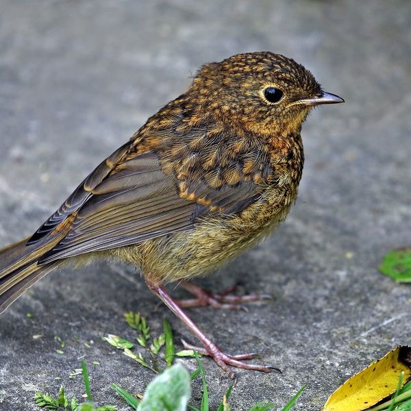
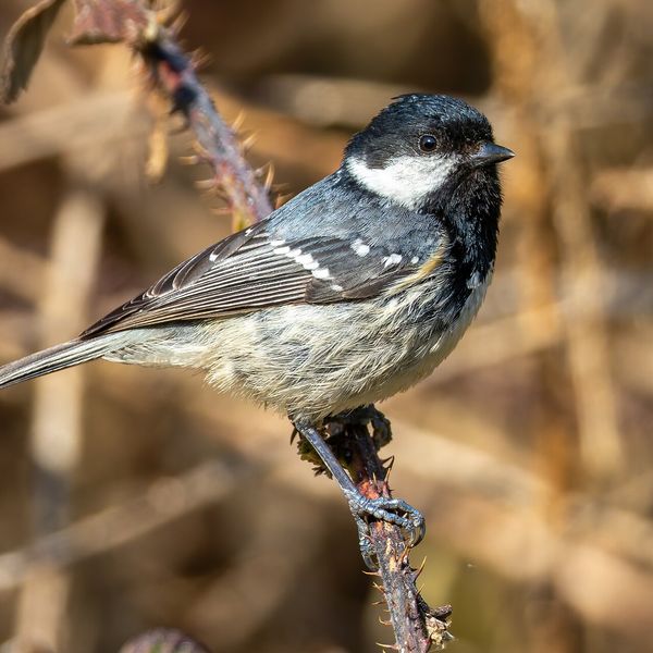
Where to meet it
Trails
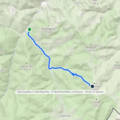 ModerateOne-dayMarkedPerkalaba Mount TomnatykElevation profile957–1 542 m8.7 kmascent 594 m≈ 3.5 h walking
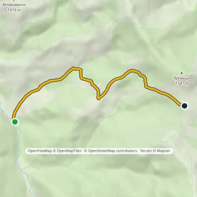 EasyOne-dayMarkedVereshchykha Mount YarovytsiaElevation profile1 001–1 416 m5.3 kmascent 426 m≈ 2 h walking
 HardMulti-dayMarkedShepit village to Probiinivka villagevia Mount Yarovytsia, Mount Pnivie +1Elevation profile797–1 599 m59.4 kmascent 1 949 m
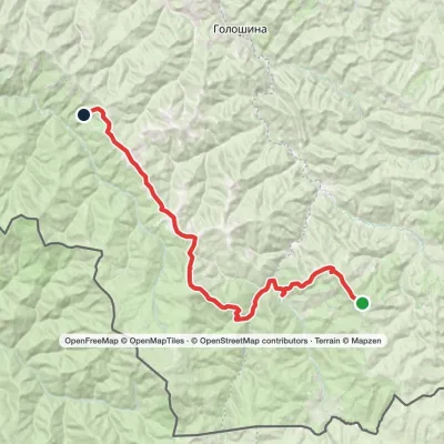 HardMulti-dayMarkedMount Yarovytsia to the Holy Trinity Monasteryvia the Pryluchnyi ridge, Mount PnivieElevation profile955–1 599 m32.5 kmascent 1 068 m≈ 10.5 h walking
 HardMulti-dayNyzhnii Yalovets village to Shypit villagevia Mount YarovytsiaElevation profile863–1 574 m24.7 kmascent 993 m≈ 8 h walking
 HardMulti-dayMarkedShepit village to Shybene villagevia Mount Yarovytsia, Mount Pnivie +1Elevation profile849–1 599 m73.4 kmascent 2 319 m
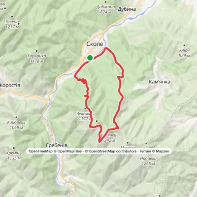 HardTwo-daySkole loopvia Mount Kudriavets, Mount LopataElevation profile437–1 242 m21.2 kmascent 986 m≈ 7.5 h walking
 HardMulti-daySkole loopvia Mount Lopata, Mount Khom +3Elevation profile418–1 260 m31.4 kmascent 1 006 m≈ 10 h walking
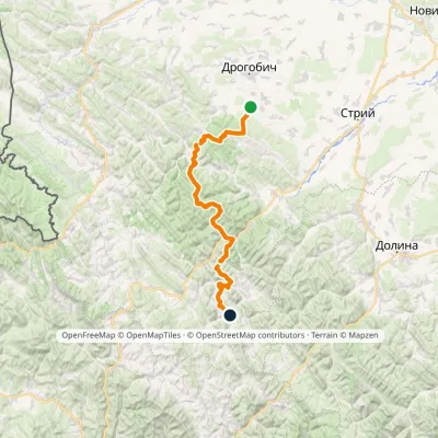 HardMulti-dayMarkedNo. 504 Truskavets SlavskoElevation profile349–1 168 m88.5 kmascent 4 090 m
 ModerateTwo-dayHrebeniv village to Skolevia Mount Kudriavets, Mount LopataElevation profile437–1 242 m18 kmascent 780 m≈ 6 h walking
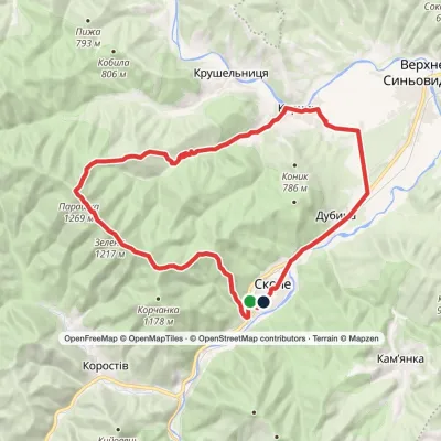 HardMulti-daySkole loopvia Mount Parashka, Hurkalo Waterfall +1Elevation profile396–1 268 m38.1 kmascent 1 100 m≈ 11.5 h walking
 HardMulti-dayDubyna village to Tukhlia villagevia Kamianka Waterfall, Mount Lopata +1Elevation profile418–1 233 m38.8 kmascent 1 600 m≈ 13 h walking
Peaks and meadows
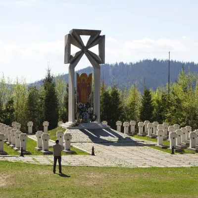 PeakMount MakivkaSlavskealtitude 958 m2 trails to the topMakivka is a mountain in the High Beskid about 8 km north of the town of Slavske in Lviv Oblast.
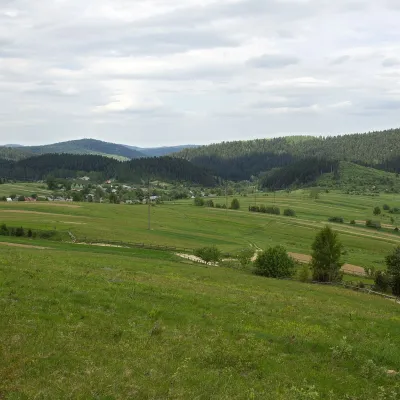 PeakMount RozluchRozluchaltitude 933 m1 trail to the topRozluch is a 933 m mountain in the Upper Dniester Beskids, the highest point of the Rozluch ridge.
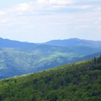 PeakMount KlyuchKamiankaaltitude 927 m · Skole Beskids range2 trails to the topMount Klyuch is one of the peaks of the ridge in the Skole Beskydy, which starts from the Sukel River (Bukivets...
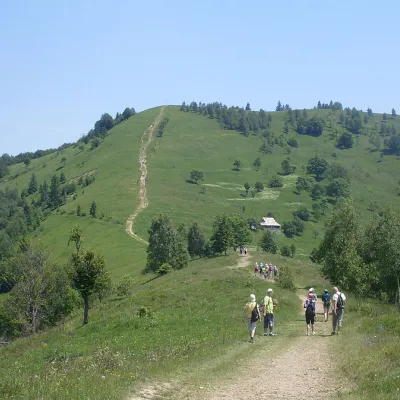 Mountain meadow984 mMount Makovytsia, YaremcheYaremcheMakovytsia (984 m) is a mountain of the Gorgany range on the eastern edge of Yaremche, in the Carpathian National...
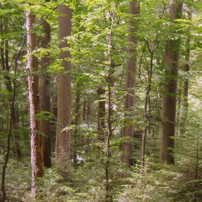 PeakMount KalnytsiaStuzhytsiaaltitude 1 004 mKalnytsia (Slovak: Kalnica) is a 1,004 m mountain on the state border between Ukraine and Slovakia, in the Bukovské...
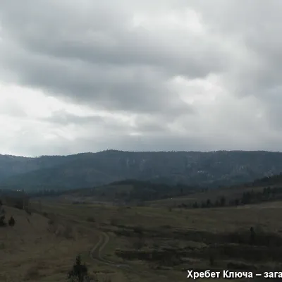 PeakMount YavorinkaTrukhanivaltitude 940 m3 trails to the topThe top of Mount Yavorinka is 940 meters above sea level. Mount Yavorinka is the highest peak of the Klyucha ridge,...
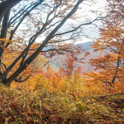 PeakMount Dil (Krushelnytsia)Krushelnytsiaaltitude 899 m · Skole Beskids rangeIt lies north-east of the Parashka ridge, about 2.6 km from Parashka itself (1,268 m), and rises above the village of...
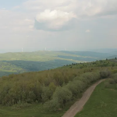 PeakMount TsiukhivOrivaltitude 939 m · Gorgany range6 trails to the topTsiukhiv (also Tsiukhiv Dil or Tsiukhiv Verkh) is a 939 m mountain (939.4 m exactly; old maps give 942 m or 931 m) in...
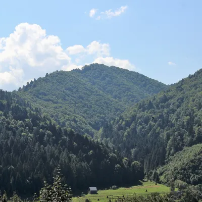 PeakMount of the Heroes of the Heavenly HundredRybnykaltitude 886 m · Skole Beskids rangeThe Mount of the Heroes of the Heavenly Hundred (locally Konova or Horb) is an 886 m summit (890 m according to other...
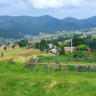 PeakMount OseredokVorokhtaaltitude 915 m · Chornohora range1 trail to the topOseredok is a modest 915 m summit right above Vorokhta (about 2 km), north of the Chornohora range, in Ivano...
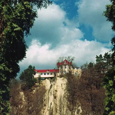 PeakCastle Hill (City)Kosivaltitude 450 mThe top offers a panoramic view of the city. The mountain is home to unique black alpine pines, as well as deciduous...
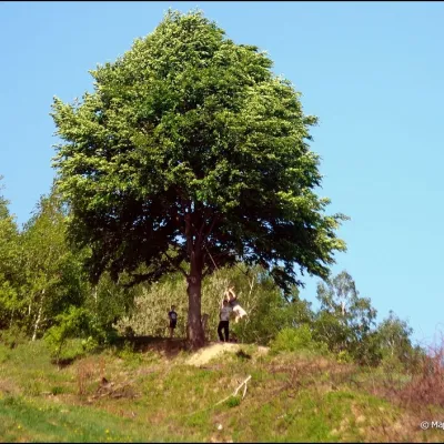 PeakMount KicheraKosivaltitude 567 mThe march to Kichera is an easy walk that all tourists can do. The small length of the march allows you to take your...
Waters and waterfalls
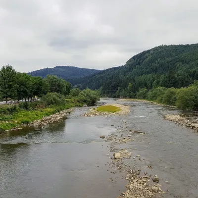 RiverOpir RiverSkoleThe Opir is a 58-km mountain river of the Skole Beskids. It rises on the eastern slope of Mount Velykyi Yavirnyk,...
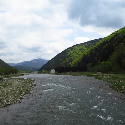 RiverTereblia RiverKolochavaThe Tereblia begins in the Inner Gorgany, where the Roztoka and Sloboda streams meet, and flows through Synevyrska...
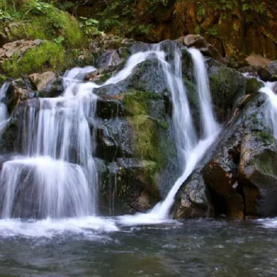 WaterfallKamianka waterfallDubyna"Kamianka Waterfall or Kamianka Waterfall is the most famous waterfall located on the mountain river of the same name...
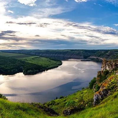 RiverDniesterVovcheThe Dniester is one of the most famous and largest rivers in Ukraine. The Dniester has been used as an important...
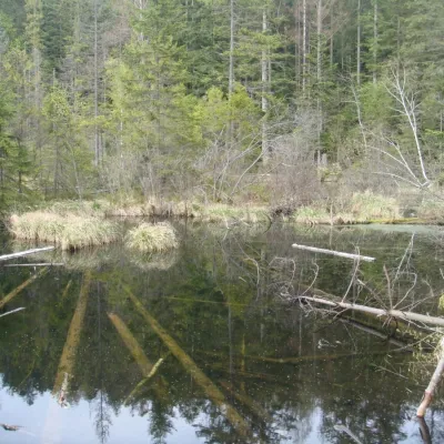 LakeLake Zhuravlyne (Dead Lake)KamiankaThere is one mysterious place in the Skole Beskydy National Nature Park - Zhuravlyne Lake, also called Dead Lake.
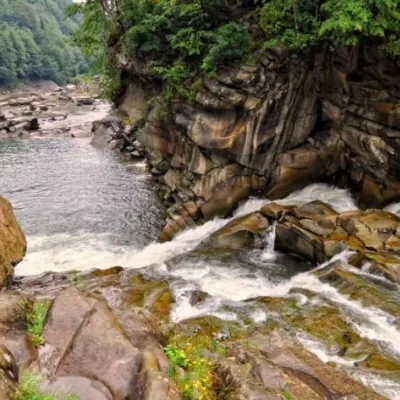 WaterfallProbiy waterfall, YaremcheYaremcheProbiy Waterfall is located in the heart of the Carpathian Mountains, in the city of Yaremche.
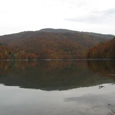 LakeVilshany ReservoirVilshanyThe Vilshany Reservoir, also called the Tereblia-Rika Reservoir, is a narrow mountain lake in the Tereblia valley...
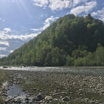 RiverBystrytsia Nadvirnianska RiverNadvirnaThe Bystrytsia Nadvirnianska rises on the northern slope of Mount Chorna Kleva in the Gorgany, at about 1,280 m.
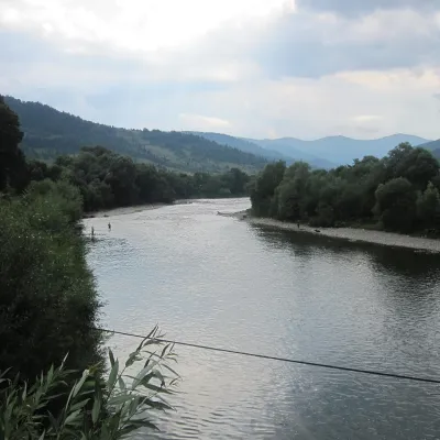 RiverStryi RiverTurkaThe Stryi is one of the largest Carpathian tributaries of the Dniester: 232 km from its source between Mount Yavirnyk...
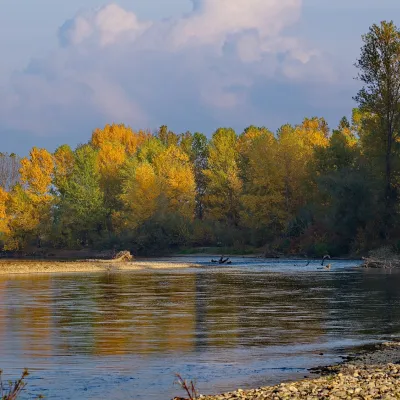 RiverTysa River (Tisza)RakhivThe Tysa (Tisza) is the main river of Zakarpattia. It begins on the north-eastern edge of Rakhiv, where the Chorna...
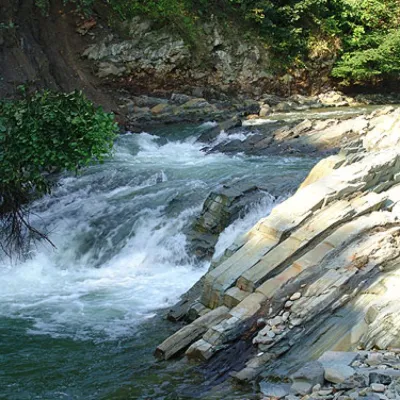 WaterfallKosivskyi Huk WaterfallKosivKosivskyi Huk - one of the most beautiful waterfalls in the Ukrainian Carpathians (in the Pokuttya-Bukovyna...
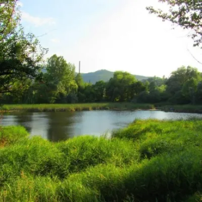 LakeCity Banske Lake (Kosiv)KosivThere are lakes of technogenic origin in the Hutsul mountains. One such lake is Banske Lake (near the former factory ...
Mountain ranges: Skole Beskids. In other countries: 🇭🇺 Börzsöny and Cserhát, 🇨🇿 Moravian-Silesian Beskids, 🇸🇰 Volovec Mountains, 🇸🇰 Western Tatras, 🇸🇰 High Tatras, 🇷🇴 Bucegi Mountains, 🇭🇺 Bükk, 🇸🇰 Low Tatras, 🇵🇱 Silesian Beskids, 🇸🇰 Slovak Ore Mountains, 🇵🇱 Żywiec Beskids, 🇷🇴 Piatra Craiului, 🇸🇰 Little Carpathians
Trails and peaks near which naturalists recorded the species (GBIF, iNaturalist), matched by altitude and habitat. Sightings are not guaranteed.
Sources
- Вікіпедія: Зяблик звичайний
- Wikipedia (en): Eurasian chaffinch
- Wikipedia (pl): Zięba (zwyczajna)
- Перелік видів тварин, що заносяться до Червоної книги України (наказ Міндовкілля від 19.01.2021 № 29, зареєстровано в Мін'юсті 01.03.2021 за № 260/35882)
- Міндовкілля: текст переліку видів тварин Червоної книги України (PDF)
- GBIF: таксон і категорія МСОП
GBIF · iNaturalist · Wikidata · Distribution data: GBIF.org (CC0 and CC BY records), iNaturalist; names and identifiers: Wikidata (CC0). Text: Karpaty.rocks, checked 09.11.2026.
