Izky village – Mount Zhyd-Mahura (yellow trail)
Trail map
Route, springs and shelters: © OpenStreetMap contributors (ODbL) · elevation: Copernicus DEM © DLR e.V., © Airbus DS · Data & licences
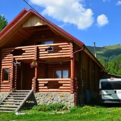
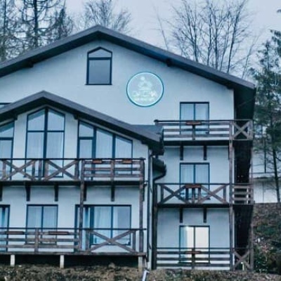
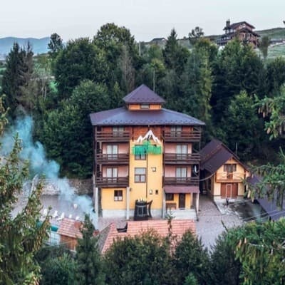
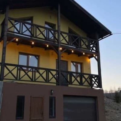
Where to stay nearby


About the trail
Route Izky village – Mount Zhyd-Mahura (yellow trail). Has yellow marking (local route). Waymarking data: OpenStreetMap (© OpenStreetMap contributors, ODbL).
Officially marked local tourist route. The marking is yellow, the sign is a horizontal stripe on a white background. The length of the route is 8.5 km. Location: mountain range — Vododіlnyi Ridge, Zakarpattia region.
At a glance
A one-day route of 8.5 km with 944 m of ascent from Izky village to Mount Zhyd-Mahura (yellow trail). Estimated walking time: about 3.5 h, not counting stops. Difficulty: moderate. Waymarking: yellow.
Route stages
- 0–8.5 kmClimb of 900 m to Mount Zhid-Magura (1,517 m)
Steepest kilometre: km 6–7, a climb of 240 m (≈24%).
Water and overnight stays
A spring near the trail: at km 8.
Places to stay near the start: Izky; near the finish: Pylypets.
When to go
Best time: May to October. In winter deep snow is possible, so experience and winter gear are needed.
Getting there
Start: Izky village. Most places to stay near the start are in Izky. This is a one-way route: the finish is 7 km from the start in a straight line, so plan your way back in advance.
FAQ
- How long does the route take?
- Estimated walking time: about 3.5 h, not counting stops.
- Is there water on the route?
- A spring near the trail: at km 8.
- Where can I stay overnight?
- Places to stay near the start: Izky; near the finish: Pylypets.
Water and shelter on the route
- Spring below Mount Zhyd–Mahurakm 8 from the start · 270 m off the path · Not verified · 1 292 m
Wildlife along the route
All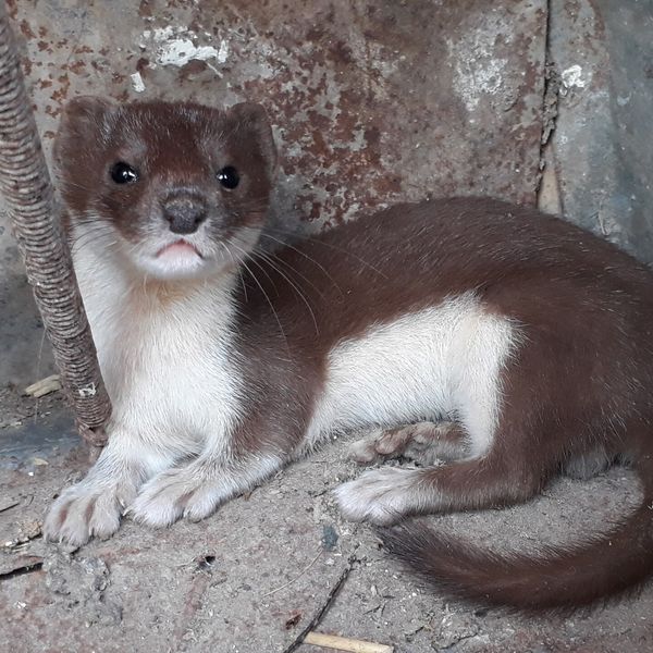
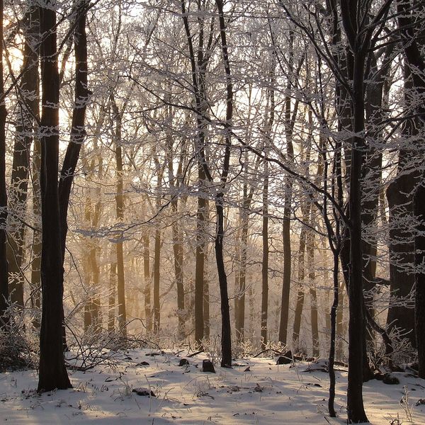
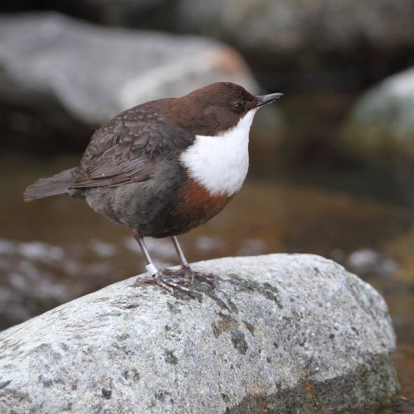
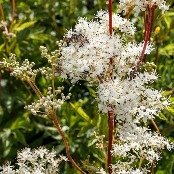
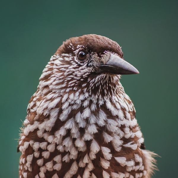
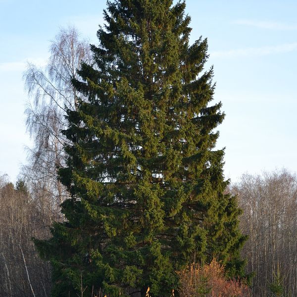
Based on naturalists’ records nearby (GBIF, iNaturalist), matched by altitude, habitat and season. Sightings are not guaranteed.
Before you go, check the border-regime restrictions: Border Guard permit for mountain hikes (in Ukrainian)
Comments
Trails nearby
All trails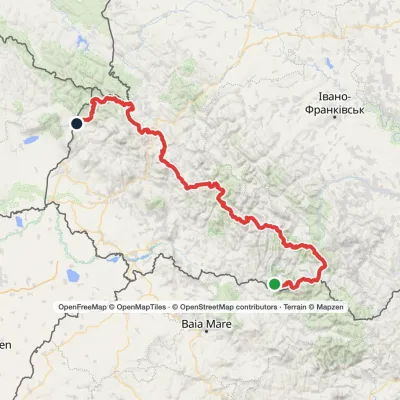 HardMulti-dayMarkedTranscarpathian Tourist TrailElevation profile202–2 061 m393.2 kmascent 17 790 m
 HardMulti-dayMarkedSynevyr Pass to Volovetsvia Mizhhiria, Mount Zhyd-Mahura +2Elevation profile427–1 517 m57.3 kmascent 2 406 m
 HardMulti-dayMarkedPylypets village to Mizhhiriavia Shypit Waterfall, Mount Hemba +1Elevation profile427–1 517 m38.1 kmascent 1 660 m≈ 13 h walking
Craft nearby
All craft places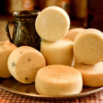 Cheese dairies & pasturesIZKI Highland Cheese Dairy, IzkyIzky2.4 km from the trailThe IZKI cheese dairy is the culinary highlight of the eco-resort of the same name in the village of Izky, Zakarpattia.
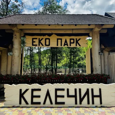 Wildlife parks & animal farmsKelechyn Eco Park, KelechynKelechyn5.3 km from the trailKelechyn Eco Park is a small petting park in the village of Kelechyn in Zakarpattia, on the road from Mizhhiria towards Volovets.
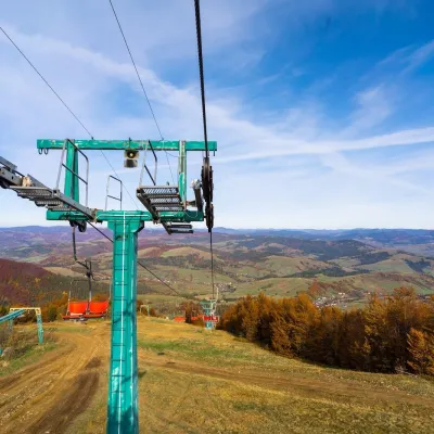 Adventures & attractionsPylypets Sky & Bike Park: chairlift and bike park, PylypetsPylypets6.3 km from the trailPylypets Sky & Bike Park is a chairlift and bike park in the Zakarpattia village of Pylypets, one of the region’s best-loved ski resorts.
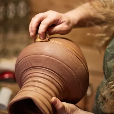 Crafts & workshops4 Seasons Pottery Studio and Horse Riding, SlavskeSlavske21 km from the trailThe 4 Seasons cottage complex in Slavske is known not only for its wooden chalets but also for two activities that turn an ordinary mountain break into something...
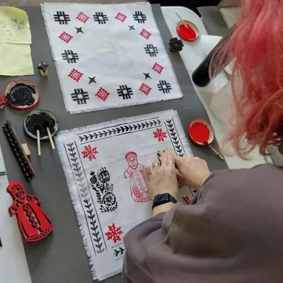 Crafts & workshopsBoyko Woodblock Fabric Printing Workshop, SlavskeSlavske23 km from the trailThe Boyko woodblock fabric printing workshop is run by craftswoman Natalia Horbonos-Akastiolova at the Centre of Boyko Culture in the Karpaty.Slavsko hotel.
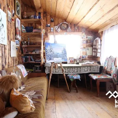 Crafts & workshopsViktoria Art Gallery, SlavskeSlavske23 km from the trailThe Viktoria Art Gallery in Slavske is a small family gallery and studio where art lives not behind glass but in the homely atmosphere of a wooden house.
