Mount Riapetska
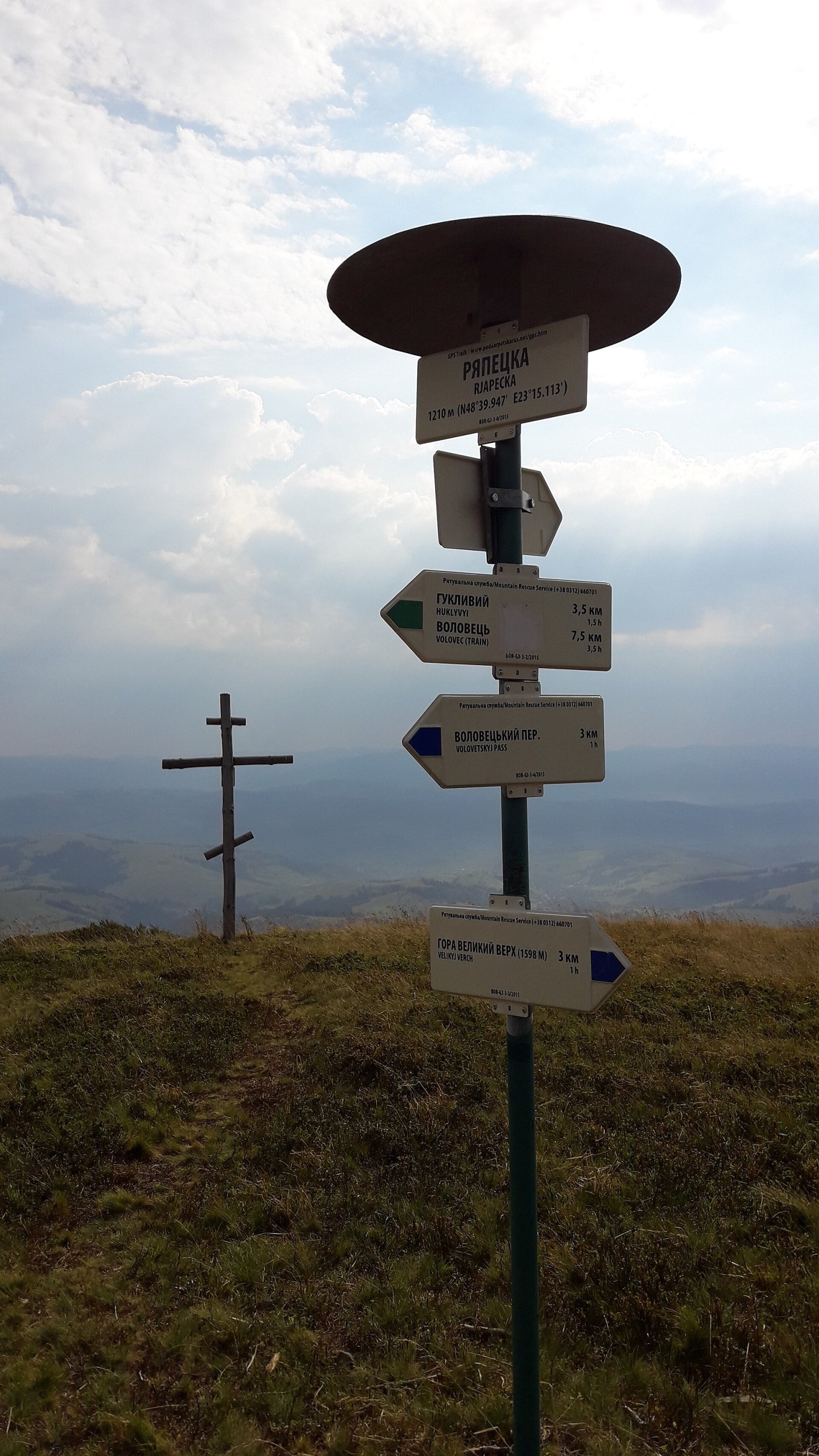
Riapetska (1210 m) is a summit of the Polonyna Borzhava massif on the Polonynian Ridge of the Ukrainian Carpathians. It lies in Mukachevo Raion of Zakarpattia Oblast, on the north-eastern spur of Borzhava that descends from Velykyi Verkh towards the valleys of Podobovets and Huklyvyi. The village of Podobovets is about 3.5 km to the east, Huklyvyi 4.7 km to the north and Volovets 7 km to the north-west.
Riapetska is modest compared with the main Borzhava summits, but it sits at the junction of two marked routes and is therefore familiar to many hikers coming to Borzhava from Podobovets, Pylypets or Volovets. 2.6 km to the south-west rises Veliky Verkh (1598 m), the central peak of the massif where the two main Borzhava ridges meet.
Getting there / routes
According to Ukrainian Wikipedia, two marked routes cross the summit:
- green — from Pylypets to Huklyvyi; in OpenStreetMap it is mapped as «Pylypets – Volovets», and on our site it is described as Zelenyi Pylypets – Volovets;
- blue — from Velykyi Verkh to Podobovets, part of the «Volovets Pass – Vovchyi» route.
Riapetska is a handy waypoint for hikes to central Borzhava. From Podobovets you can climb Velykyi Verkh and return — Podobovets village – Mount Velykyi Verkh – Podobovets village, or carry on over Velykyi Verkh and Stii to Vovchyi — Podobovets village, via Mount Velykyi Verkh and Mount Stiy to Vovchyi village. From Pylypets there is a loop over Gemba and Velykyi Verkh — Pylypets village, via Mount Hemba and Mount Velykyi Verkh to Pylypets village. The longest option is Synevyr Pass, via Mizhhiria, Mount Zhyd-Mahura, Mount Hemba and Shypit Waterfall to Volovets from the Synevyr Pass via Mizhhiria and Zhid-Magura to Volovets. The portal vpohid.com.ua suggests a day route over Riapetska, Pylypets – Velykyi Verkh – Hymba (17.4 km, about 8 hours), and a two-day Borzhava crossing from Svaliava to Pylypets.
The nearest water is on the slopes of Velykyi Verkh: Spring below Mount Velykyi Verkh (8) and Drinking water below Mount Velykyi Verkh are about 900 m from the summit. Less than a kilometre away stand the pylons of the Podobovets ski lifts.
The view from the top
Our sources do not describe the panorama from Riapetska in detail. The map shows that its nearest neighbours are Velykyi Verkh to the south-west, Mala Hymba and Gemba to the south, Plai to the west, with the valleys of Podobovets and Huklyvyi below to the east and north; vpohid.com.ua marks two viewpoints over Podobovets near the summit.
Nature and history
Borzhava is the longest mountain meadow in Zakarpattia: the massif stretches for almost 50 km. It is built of flysch, mostly sandstone. The upper tree line is formed by beech forest at 900–1200 m, although scientists' reconstructions show that it once ran much higher, at 1450–1500 m. Riapetska lies right at this boundary, where beech forest gives way to meadows.
The Borzhava meadows are almost entirely covered with bilberry: from July to September locals pick the berries here, called «yafyny» in Zakarpattia; lingonberry and bog bilberry grow too. About 1.6–1.9 km south of the summit, on the Pylypets river, lies the Shypit waterfall, one of the best-known natural sights of Borzhava.
Safety, season and rules
The Borzhava crests are exposed to the wind, the weather changes quickly, and thunderstorms are frequent in summer — do not stay on the ridge when one approaches. In winter the slopes are snow-covered, and near the lifts you may come across ski runs: do not walk on them while people are skiing. The best hiking season is from late May to October; August is bilberry time.
Respect the shepherds and light fires only at established fireplaces. In an emergency call 112 or 101; rescue contacts are on the page mountain rescue.
Photos: The Dear Deer, CC BY-SA 4.0 — Wikimedia Commons.
Location on the map
Water and shelter nearby
- Drinking water below Mount Velykyi Verkh900 m · Not verified · 1 236 m
- Spring below Mount Velykyi Verkh (8)920 m · Has water · 1 244 m
- Spring below Mount Velykyi Verkh (6)1.1 km · Not verified · 1 202 m
- Spring (Podobovets)1.7 km · Not verified · 760 m
- Spring below Mount Hemba (5)1.7 km · Not verified · 822 m
- Spring (Podobovets, 2)1.7 km · Not verified · 763 m
- Spring below Mount Hemba (3)2 km · Not verified · 989 m
- Hut below Mount Hemba2 km · Not verified · 992 m
- Spring below Mount Velykyi Verkh (7)2.3 km · Not verified · 1 172 m
- Spring (Huklyvyi, 14)2.3 km · Not verified · 764 m
- Spring below Mount Velykyi Verkh (9)2.3 km · Not verified · 1 187 m
- Spring (Huklyvyi, 15)2.4 km · Not verified · 758 m
- Spring below Mount Velykyi Verkh (2)2.5 km · Not verified · 1 235 m
- Spring below Mount Velykyi Verkh (5)2.7 km · Not verified · 1 300 m
- Spring below Mount Hemba (6)2.8 km · Not verified · 1 089 m
- Spring (Podobovets, 3)2.8 km · Not verified · 674 m
Comments
Places to stay nearby
All stays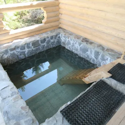 HomesteadGuest House "Dersu Uzala" PodobovetsPodobovets1.7 km from Mount RiapetskaSaunaBBQParkingNearby: Shypit Waterfall 2.1 kmMt Veliky Verkh 4.3 km17 trails
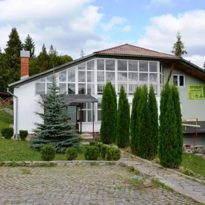 HotelTourist Ski Resort "Podobovec 2000"Podobovets1.9 km from Mount RiapetskaSaunaFireplaceKitchenNearby: Shypit Waterfall 1.9 kmMt Veliky Verkh 4.4 km16 trails
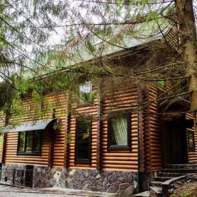 HomesteadHomestead "Pos Pylypets"Pylypets1.9 km from Mount RiapetskaKitchenWi‑FiPetsNearby: Shypit Waterfall 500 mMt Gemba 3.0 km17 trails
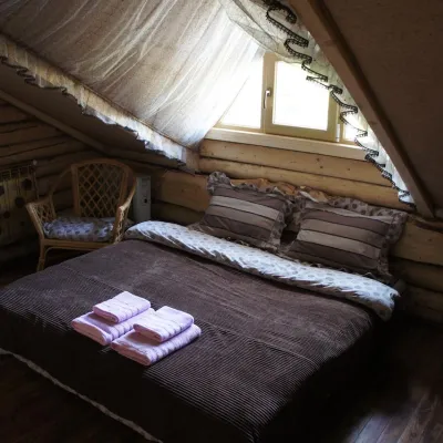 HotelHotel "Zahublenyi Svit" MykulychynPodobovets1.9 km from Mount RiapetskaPoolSaunaBreakfastNearby: Shypit Waterfall 2.1 kmMt Veliky Verkh 4.4 km16 trails
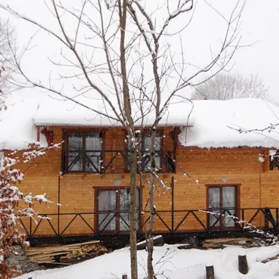 HomesteadHomestead "Dva Braty" Podobovets (sauna, tub)Podobovets2.5 km from Mount RiapetskaHot tubSaunaBBQNearby: Shypit Waterfall 2.0 kmMt Gemba 4.5 km16 trails
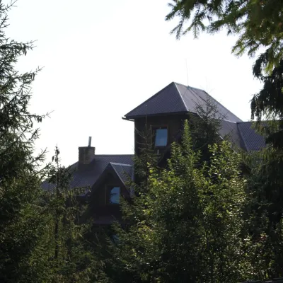 HotelHotel "Horyanyn" PylypetsPylypets2.2 km from Mount RiapetskaSaunaBBQParkingNearby: Shypit Waterfall 800 mMt Gemba 3.1 km17 trails
Trails nearby
All trails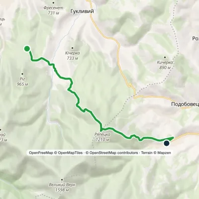 ModerateOne-dayMarkedZelenyi Pylypets VolovetsElevation profile645–1 216 m9.3 kmascent 567 m≈ 3.5 h walkingunder 1 km from Mount Riapetska
 ModerateOne-dayMarkedPylypets village loopvia Mount Hemba, Mount Velykyi VerkhElevation profile706–1 595 m10.6 kmascent 544 m≈ 3.5 h walkingunder 1 km from Mount Riapetska
 HardMulti-dayMarkedSynevyr Pass to Volovetsvia Mizhhiria, Mount Zhyd-Mahura +2Elevation profile427–1 513 m57.3 kmascent 2 328 munder 1 km from Mount Riapetska
Nearby attractions
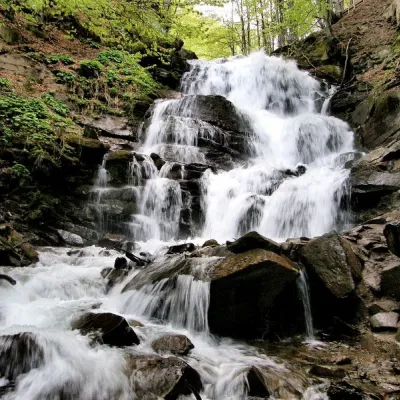 Waterfall"Shypit Waterfall" PylypetsPylypets1.7 km from Mount RiapetskaIn a cozy corner of the Carpathian Mountains, among the evergreen mountain forests and steep, sharp cliffs, lies the most full-flowing and beautiful waterfall in...
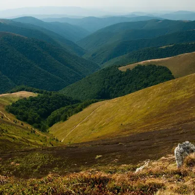 Mountain meadowPolonyna BorzhavaPylypetsaltitude 1 400 m2.5 km from Mount RiapetskaPolonyna Borzhava is the longest polonyna massif in Zakarpattia and one of the best known in the Polonynskyi Ridge of the Ukrainian Carpathians.
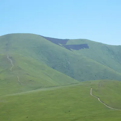 PeakMount Veliky VerkhVolovetsaltitude 1 598 m · Borzhava range2.6 km from Mount Riapetska50 trails to the topMount Velykyi Verkh is a 1,598-meter peak of the Ukrainian Carpathians, located within the Borzhava Polonyna.
Craft nearby
All craft places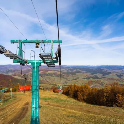 Adventures & attractionsPylypets Sky & Bike Park: chairlift and bike park, PylypetsPylypets2.3 km from Mount RiapetskaPylypets Sky & Bike Park is a chairlift and bike park in the Zakarpattia village of Pylypets, one of the region’s best-loved ski resorts.
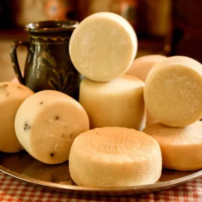 Cheese dairies & pasturesIZKI Highland Cheese Dairy, IzkyIzky6.9 km from Mount RiapetskaThe IZKI cheese dairy is the culinary highlight of the eco-resort of the same name in the village of Izky, Zakarpattia.
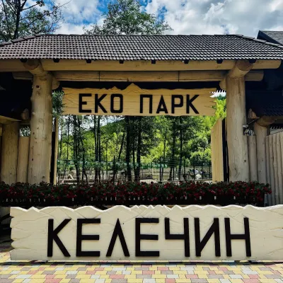 Wildlife parks & animal farmsKelechyn Eco Park, KelechynKelechyn13 km from Mount RiapetskaKelechyn Eco Park is a small petting park in the village of Kelechyn in Zakarpattia, on the road from Mizhhiria towards Volovets.
 Craft producersAleks mineral waters, SvaliavaSvalyava22 km from Mount RiapetskaAleks is a Svaliava mineral-water producer founded in 1995. It was one of the first companies in Ukraine to bottle natural mineral waters in PET bottles, and today it...
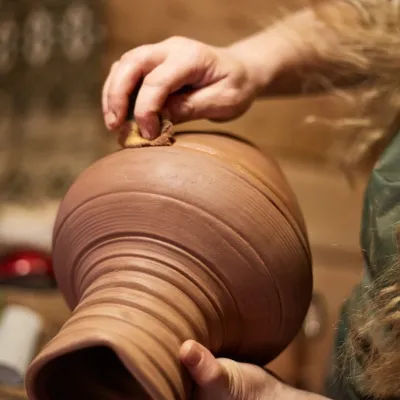 Crafts & workshops4 Seasons Pottery Studio and Horse Riding, SlavskeSlavske23 km from Mount RiapetskaThe 4 Seasons cottage complex in Slavske is known not only for its wooden chalets but also for two activities that turn an ordinary mountain break into something...
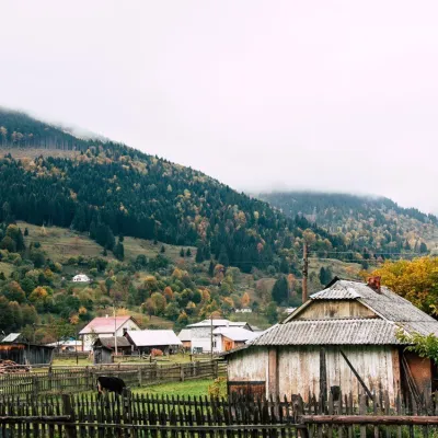 Cheese dairies & pasturesBilasovytsi Cheese Dairy, BilasovytsiaBilasovytsia23 km from Mount RiapetskaBilasovytsi Cheese Dairy is a small family dairy in the Transcarpathian village of Bilasovytsia, set at about 600 metres above sea level at the foot of Mount Pikui.
