Podobovets
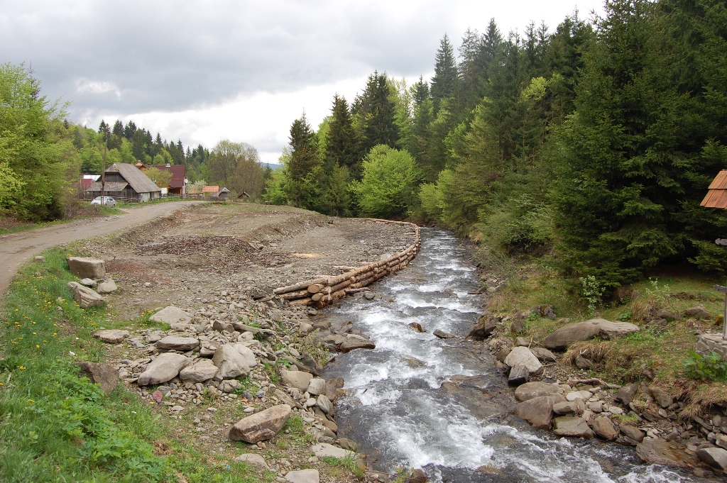
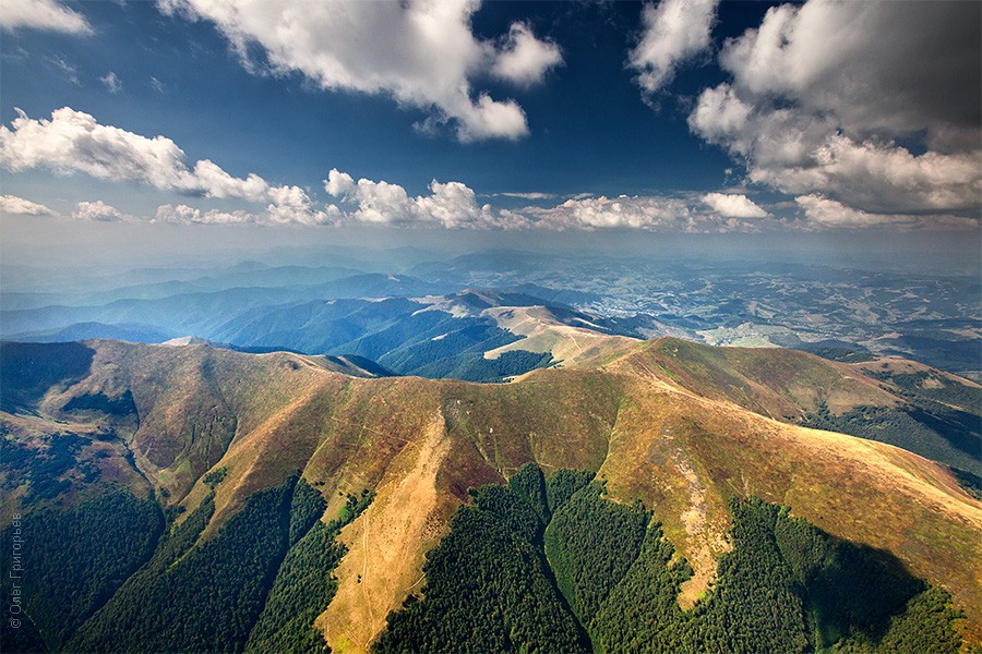
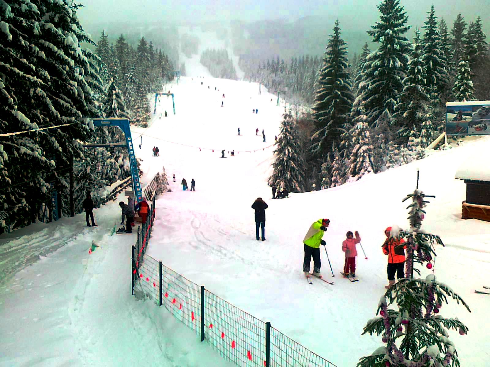
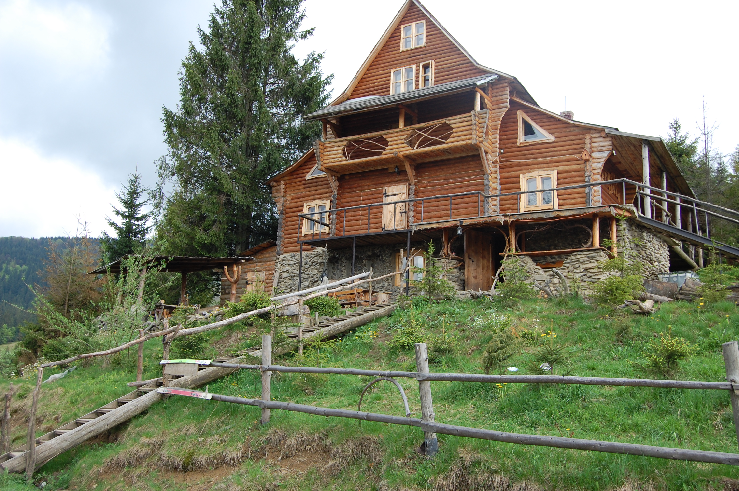
Podobovets is a small village in the Zakarpattia region of western Ukraine. It is part of the Khust district, which is known for its beautiful natural scenery, with a population of about 700 people located in the Carpathian Mountains, which are known for their stunning landscapes and outdoor activities such as hiking, skiing and mountain biking.
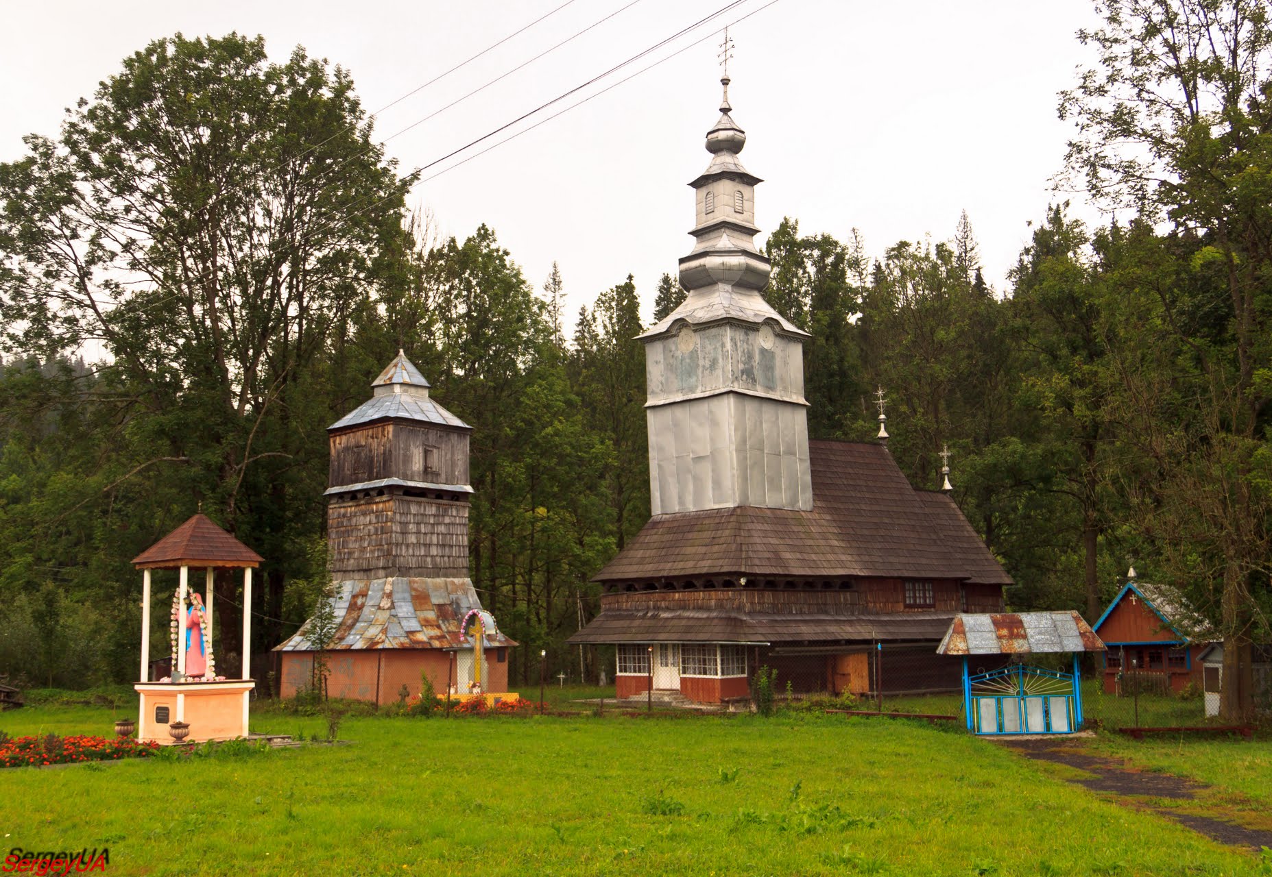
Podobovets has several historical landmarks, including the Church of St. Nicholas, which was built in the 17th century and is a great example of traditional Carpathian architecture. The village also has a museum dedicated to the history and culture of the local Hutsuls, who have lived in the region for centuries. In addition to its cultural and historical attractions, Podobovets is known for its local cuisine, which features traditional dishes such as banosh (a type of corn porridge), kulish (a thick soup made from grains and vegetables), brynza (a type of porridge), and sheep's milk cheese). Overall, Podobovets is a charming and peaceful village that offers visitors a unique insight into the rich history and culture of the Zakarpattia region.
The village is surrounded by beautiful natural scenery, including forests, rivers and mountains.
Podobovets is known for its rich cultural heritage, including traditional crafts, music and dance. The village hosts several festivals and events throughout the year The village is also a popular destination for outdoor enthusiasts, offering a wide range of activities such as hiking, mountain biking, skiing and snowboarding. In terms of infrastructure, the village has a small number of shops and restaurants, as well as basic services such as a post office and a medical clinic. Accommodation options include guest houses and private rentals. All in all, Podobovets is a great place for those who love natural beauty, outdoor activities, and traditional culture.
Nearby attractions:
"Shypit Waterfall" Pylypets
New Church of the Nativity of the Blessed Virgin Mary, Pylypets
Church of the Nativity of the Blessed Virgin Mary, Pylypets
Church of the Entry of the Blessed Virgin Mary (new and old)
Mount Gemba, 1491m
Podobovets ski resort
What to visit
Landmarks, museums and places of interest near Podobovets.
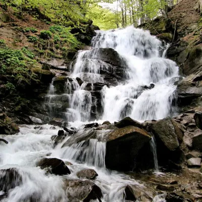 Waterfall"Shypit Waterfall" PylypetsPylypets2.7 km from the centreIn a cozy corner of the Carpathian Mountains, among the evergreen mountain forests and steep, sharp cliffs, lies the most full-flowing and beautiful waterfall in...
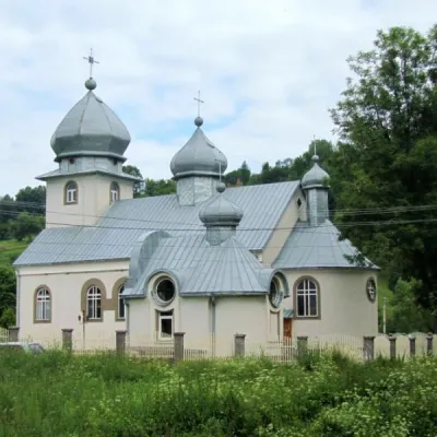 ChurchNew Church of the Nativity of the Blessed Virgin Mary, PylypetsPylypets3.2 km from the centre
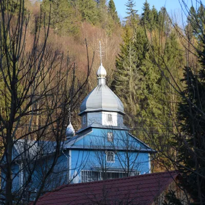 ChurchChurch of the Presentation of the Blessed Virgin Mary (new and old), RoztokaRoztoka3.5 km from the centreThe Church of the Presentation of the Blessed Virgin Mary is a wooden church located in the village of Roztoka, Mizhhiria district, Zakarpattia region.
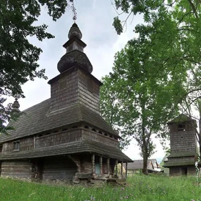 ChurchChurch of the Holy Spirit, HuklyvyiHuklyvyi5 km from the centreTheChurch of the Holy Spirit is a wooden church located in the village of Huklyvyi, Volovets district, Transcarpathian region, an architectural monument of national...
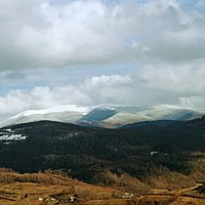 Mountain meadowPolonyna-KukMizhhiriaaltitude 1 189 m · Borzhava range20 km from the centreVery beautiful scenery, there is a spring and places to spend the night with a tent down the road to Mount Cook.
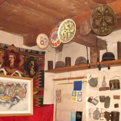 MuseumYuriy Mykolsky Museum of the Liberation Struggle, SlavskeSlavske21 km from the centreAn interesting tourist attraction, which does not depend on the season, presence or absence of snow, is located in Slavske at 2 Sichovykh Striltsiv Street - the...
Where to stay
Hotels, guesthouses and cottages in and around Podobovets.
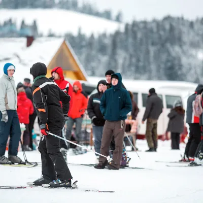 Ski resortSki Resort "Podobovec"Podobovetsunder 1 km from the centreSaunaParkingNearby: Shypit Waterfall 2.7 kmMt Gemba 5.0 km16 trails
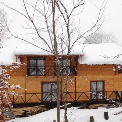 HomesteadHomestead "Dva Braty" Podobovets (sauna, tub)Podobovetsunder 1 km from the centreHot tubSaunaBBQNearby: Shypit Waterfall 2.0 kmMt Gemba 4.5 km16 trails
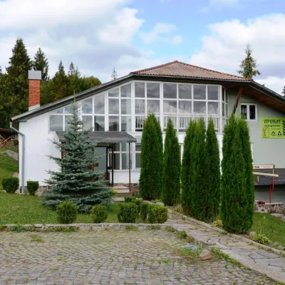 HotelTourist Ski Resort "Podobovec 2000"Podobovets1.5 km from the centreSaunaFireplaceKitchenNearby: Shypit Waterfall 1.9 kmMt Veliky Verkh 4.4 km16 trails
Trails nearby
All trails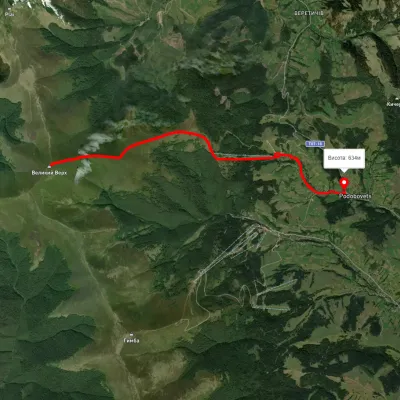 ModerateOne-dayUnmarkedPodobovets village loopvia Mount Velykyi VerkhElevation profile612–1 599 m13.5 kmascent 942 m≈ 5.5 h walkingunder 1 km from the centre
 HardMulti-dayUnmarkedSkotarske village to Nyzhnii Bystryi villagevia Borzhava polonyna, Palenyi Hrun polonynaElevation profile287–1 505 m63.7 kmascent 3 008 munder 1 km from the centre
 HardMulti-dayUnmarkedVovchyi village to Podobovets villagevia Mount StiyElevation profile291–1 645 m25.5 kmascent 1 723 m≈ 10 h walkingunder 1 km from the centre
Peaks nearby
All peaks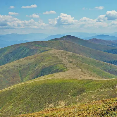 PeakMount GembaPylypetsaltitude 1 491 m5 km from the centre38 trails to the topHemba (also known as Hymba) is a very popular mountain in the Ukrainian Carpathians, located on the border of two districts of the Zakarpattia region - Mizhhiria and...
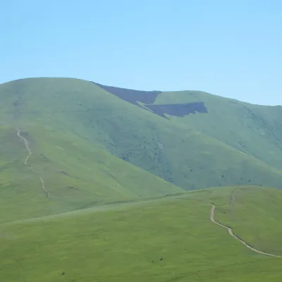 PeakMount Veliky VerkhVolovetsaltitude 1 598 m · Borzhava range5.6 km from the centre99 trails to the topMount Velykyi Verkh is a 1,598-meter peak of the Ukrainian Carpathians, located within the Borzhava Polonyna.
 PeakMount Zhid-MaguraPylypetsaltitude 1 517 m · Borzhava range6 km from the centre24 trails to the topZhyd-Magura (also called Magura-Zhyd) is a 1517-meter peak of the Ukrainian Carpathians, which is located within the popular tourist destination, the Polonyna Borzhava...