Zelenyi Pylypets – Volovets
Trail map
Where to stay nearby
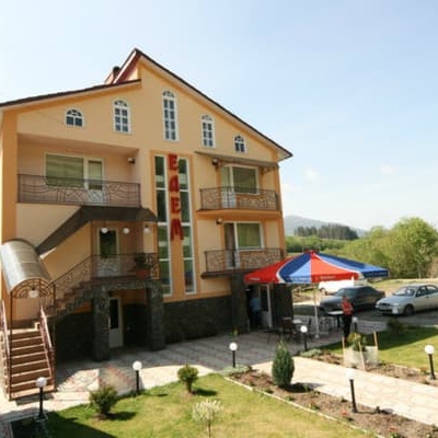
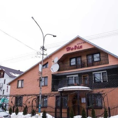

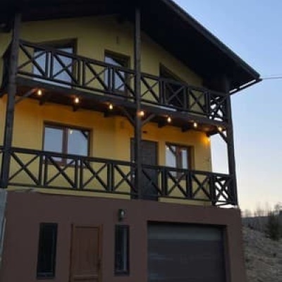
About the trail
Route Zelenyi Pylypets – Volovets. Has green marking (local routes). Along the route you will see: Church of the Descent of the Holy Spirit (new), Huklyvyi, "Shypit Waterfall" Pylypets.
At a glance
A one-day route of 9.3 km with 784 m of ascent from Zelenyi Pylypets to Volovets. Estimated walking time: about 3.5 h, not counting stops. Difficulty: moderate. Waymarking: green.
Route stages
- 0–2 kmGentle ups and downs at 650–760 m
- 2–5.5 kmClimb of 530 m (up to 1,199 m)
- 5.5–8 kmDescent of 440 m (down to 756 m)
- 8–9.5 kmGentle ups and downs at 680–760 m
Steepest kilometre: km 6.5–7.5, a descent of 230 m (≈23%).
Water and overnight stays
A spring near the trail: at km 0.5. There are no springs between km 0.5 and 9.5 — carry at least 2 l of water.
Places to stay near the start: Volovets; near the finish: Pylypets.
When to go
Best time: May to October. In winter deep snow is possible, so experience and winter gear are needed.
Getting there
Start: Zelenyi Pylypets. Most places to stay near the start are in Volovets. This is a one-way route: the finish is 7 km from the start in a straight line, so plan your way back in advance.
FAQ
- How long does the route take?
- Estimated walking time: about 3.5 h, not counting stops.
- Is there water on the route?
- A spring near the trail: at km 0.5. There are no springs between km 0.5 and 9.5 — carry at least 2 l of water.
- Where can I stay overnight?
- Places to stay near the start: Volovets; near the finish: Pylypets.
Water and shelter on the route
- Spring (Huklyvyi, 13)km 0.5 from the start · 220 m off the path · Not verified · 825 m
Comments
What to see on the trail
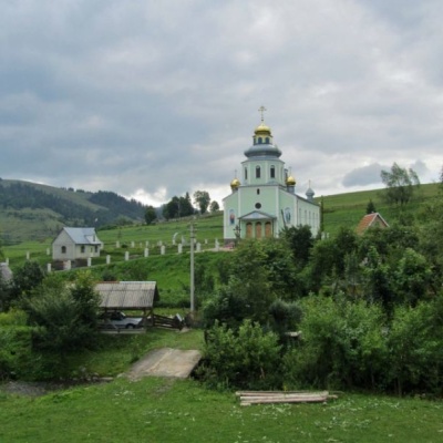 Church of the Descent of the Holy Spirit (new), Huklyvyialtitude 606 mChurch of the Descent of the Holy Spirit, founded in 1932 (UOC). ...
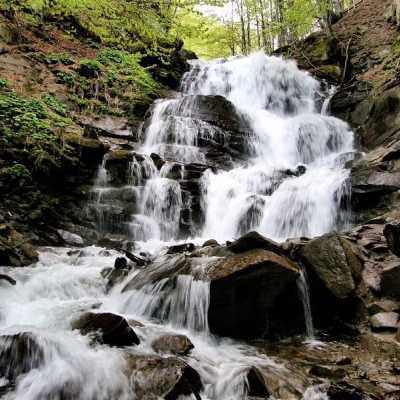 "Shypit Waterfall" Pylypetsaltitude 615 mIn a cozy corner of the Carpathian Mountains, among the evergreen mountain forests and steep, sharp cliffs, lies the most full-flowing and...
Trails nearby
All trails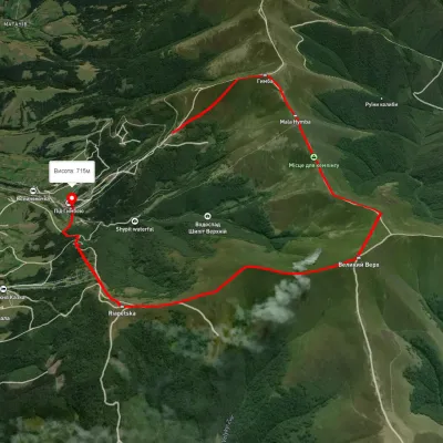 ModerateOne-dayUnmarkedPylypets village loopvia Mount Hemba, Mount Velykyi VerkhElevation profile746–1 635 m10.6 kmascent 737 m≈ 4 h walking
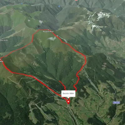 ModerateTwo-dayUnmarkedPylypets village loopvia Mount Hemba, Mount Velykyi Verkh +1Elevation profile686–1 593 m15.2 kmascent 1 139 m≈ 6 h walking
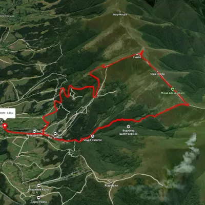 ModerateTwo-dayUnmarkedPylypets village loopvia Shypit Waterfall, Mount HembaElevation profile683–1 530 m17.7 kmascent 1 039 m≈ 6.5 h walking