Mount Kychera (Mizhhiria)
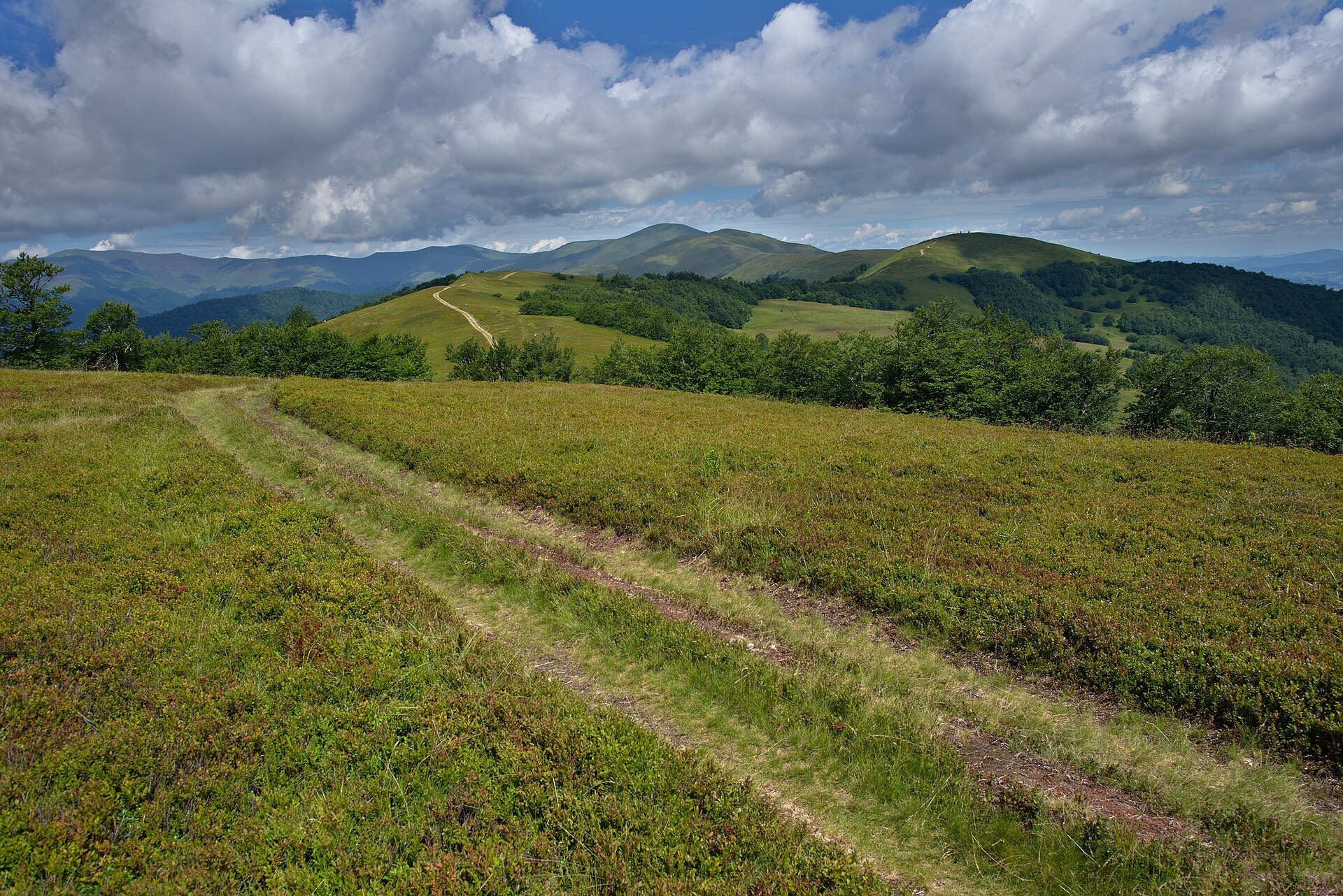
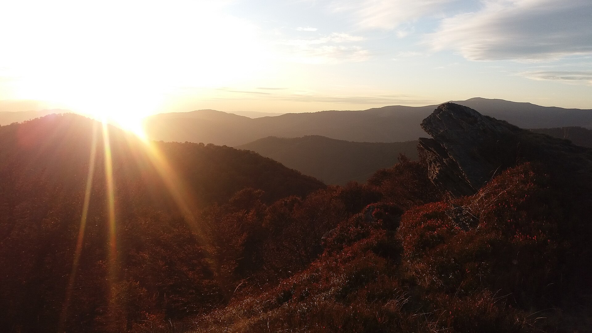
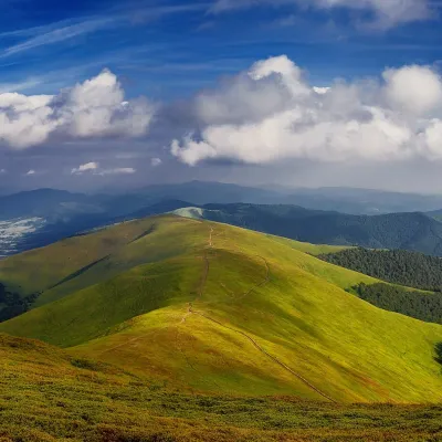
Kychera is a 1,257 m summit (other sources give 1,241 m; it is also described as Kichera-Kruhlan) on the main crest of Polonyna Borzhava in Zakarpattia Oblast. It lies between Mizhhiria and the highest part of the massif. The nearest villages are Potik (about 2.7 km) and Richka (about 3.8 km), with Tiushka a little farther. Do not confuse it with the many other Kycheras — the name is very common in the Carpathians.
From Kychera the crest branches out: about 1.2 km to the south stands Kruhla (1,208 m), 1.4 km to the north Shyrokyi Verkh (1,257 m), and about 2.9 km to the north-west rises Hrab (1,374 m), beyond which the ridge leads to Zhyd-Mahura (1,517 m). Some 2 km to the south-west you can see Velykyi Ozhyniatets (1,142 m).
How to get there
Fifteen of our routes cross Kychera or pass within 150 m of the summit. A few different options:
- Vovchyi – Mount Stii – Mount Hemba – Mount Zhyd-Mahura – Pryslip pass – Mizhhiria, 45.1 km, along the crest from the highest peak of Borzhava;
- Kushnytsia – Polonyna Kuk – Mount Shyrokyi Verkh – Mount Zhyd-Mahura – Mount Velykyi Verkh – Mount Plai – Volovets, 47.1 km, about 2,770 m of ascent;
- Vovchyi – Mount Stii – Mount Zhyd-Mahura – Pryslip pass – Polonyna Kuk – Mount Korytyshche – Shyroke – Nyzhnii Bystryi, 60.7 km.
The Transcarpathian Tourist Trail also passes over Kychera.
Water, shelter and safety
On our map the nearest spring is about 500 m south of the summit, at roughly 1,180 m (condition unknown); the next one is 1.7 km away to the south-east. About 3 km to the north-west, below Zhyd-Mahura, a weak spring with drinking water is marked, and nearby, below Hrab, a hut at about 1,120 m. The crest is exposed to wind, storms and fog, so watch the forecast: the nearest summit with our forecast is the weather on Mount Stii, about 11 km away. In an emergency call 112 or 101 — mountain rescue works around the clock.
Photos: Jiří Komárek, CC BY-SA 4.0; Петро Малофій, CC BY-SA 4.0 — Wikimedia Commons.
Location on the map
Comments
Places to stay nearby
 HomesteadHomestead "Dva Braty" Podobovets (sauna, tub)11 km from Mount Kychera (Mizhhiria)Hot tubSaunaBBQNearby: Shypit Waterfall 2.0 kmMt Gemba 4.5 km16 trails
 HomesteadPrivate Homestead "Forest House"19 km from Mount Kychera (Mizhhiria)The house is designed for 6 people. Additional places are available.Nearby: St. Michael's Church 7.9 km10 trails
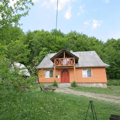 CottageCottage "U Horakh" Bukovets5.6 km from Mount Kychera (Mizhhiria)Hot tubPoolSaunaNearby: Mt Gemba 6.3 kmShypit Waterfall 6.9 km2 trails
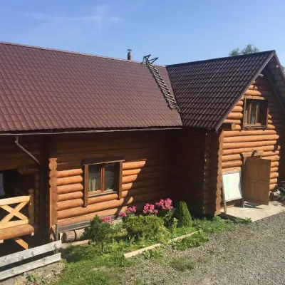 HotelMini-Hotel "Roksolana" Izky6.8 km from Mount Kychera (Mizhhiria)PoolSaunaSPANearby: Shypit Waterfall 5.2 kmMt Gemba 5.1 km14 trails
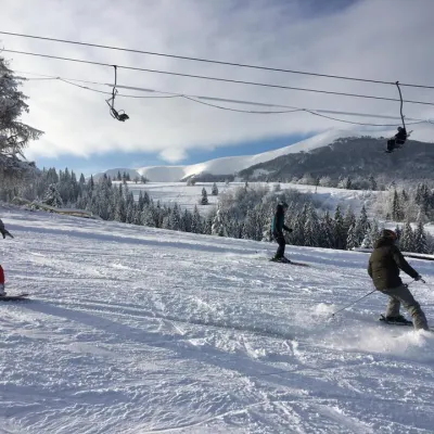 Ski resortSki Lifts and Trails of Eco-Resort "Izky"6.8 km from Mount Kychera (Mizhhiria)Hot tubPoolSaunaNearby: Shypit Waterfall 5.3 kmMt Gemba 5.2 km14 trails
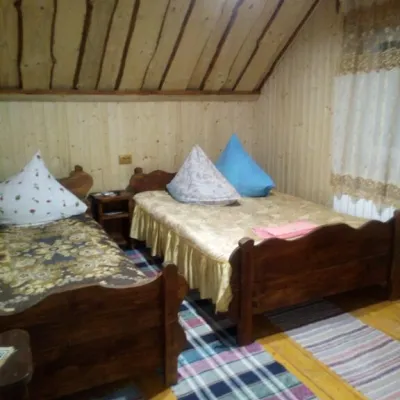 CottageCottage "Liliya" Izky7.6 km from Mount Kychera (Mizhhiria)SaunaSPABBQNearby: St. Nicholas Church 1.2 kmShypit Waterfall 6.0 km6 trails
Trails nearby
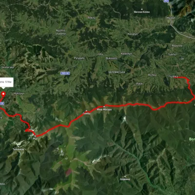 HardMulti-dayUnmarkedTiushka village to Volovetsvia Mount Zhyd-Mahura, Mount Hemba +1Elevation profile499–1 585 m35.2 kmascent 1 544 m≈ 12 h walkingunder 1 km from Mount Kychera (Mizhhiria)
 HardMulti-dayMarkedTranscarpathian Tourist TrailElevation profile198–2 031 m393.2 kmascent 30 283 munder 1 km from Mount Kychera (Mizhhiria)
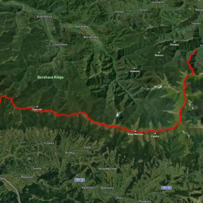 HardMulti-dayUnmarkedVovchyi village to Mizhhiriavia Mount Stiy, Mount Hemba +2Elevation profile342–1 668 m45.1 kmascent 2 350 munder 1 km from Mount Kychera (Mizhhiria)
Nearby attractions
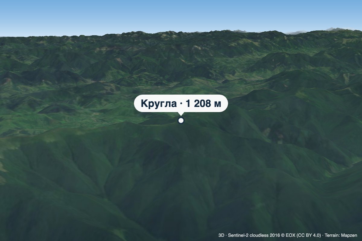 PeakMount Kruhlaaltitude 1 208 m · Borzhava range1.2 km from Mount Kychera (Mizhhiria)Kruhla is a 1,208 m summit on the main crest of Polonyna Borzhava in Zakarpattia Oblast, in its south-eastern part that descends towards Mizhhiria.
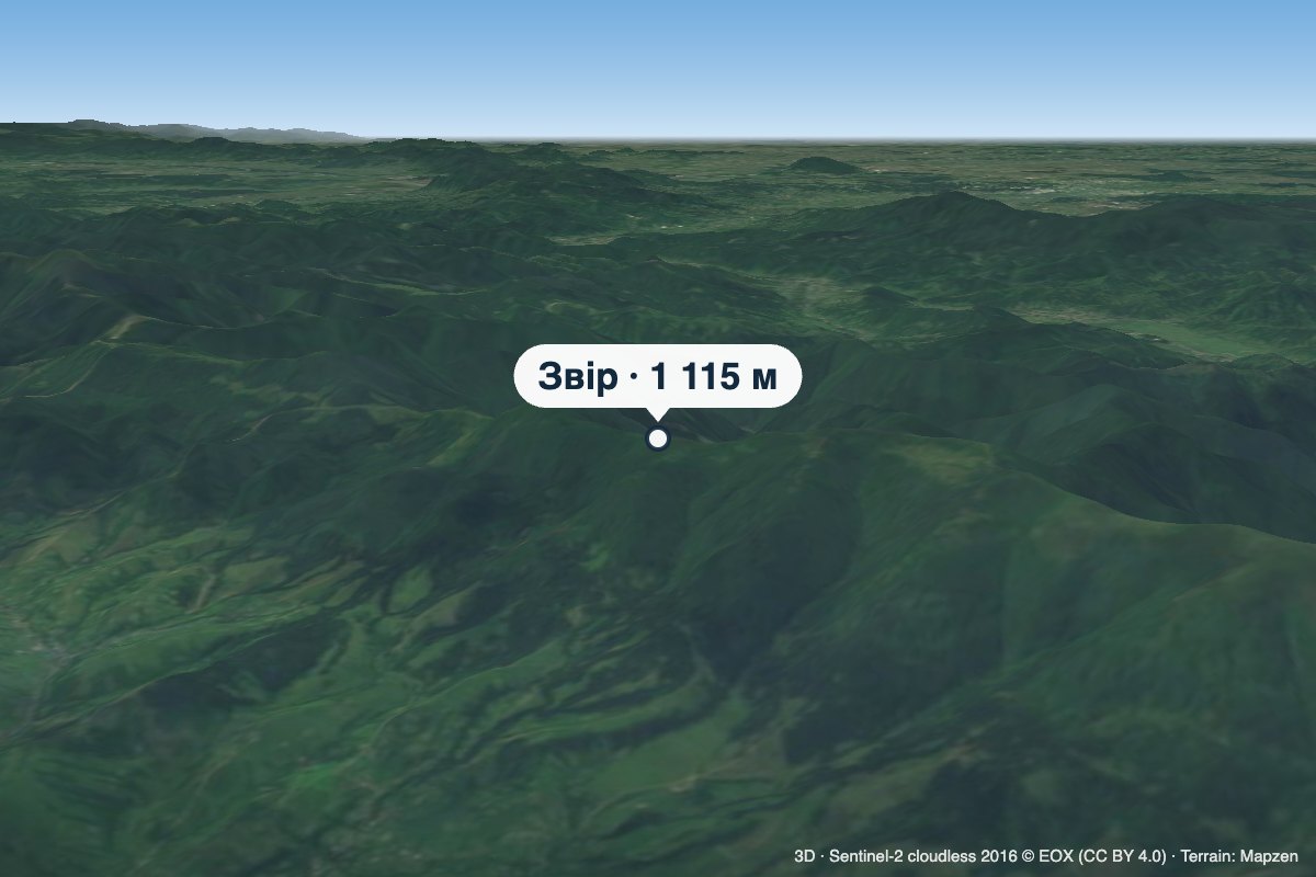 PeakMount Zviraltitude 1 115 m · Borzhava range2.3 km from Mount Kychera (Mizhhiria)Zvir (also called Zvor) is a 1,115 m summit on the main crest of Polonyna Borzhava in Zakarpattia Oblast.
 PeakMount Hrabaltitude 1 374 m · Borzhava range2.9 km from Mount Kychera (Mizhhiria)Hrab is a summit in the Polonyna Borzhava massif (Ukrainian Carpathians) on the border of the Svaliava and Mizhhiria districts of Zakarpattia Oblast, south-west of the...