Mount Kruhla
Kruhla is a 1,208 m summit on the main crest of Polonyna Borzhava in Zakarpattia Oblast, in its south-eastern part that descends towards Mizhhiria. The nearest villages, Potik and Tiushka, are about 3.7–3.9 km away, and Richka about 4.2 km.
Kruhla stands in the middle of a chain of modest summits between the Pryslip pass and Zhyd-Mahura. About 1.2 km to the north rises Kychera (1,257 m), and 1.4 km to the south-east Zvir (1,115 m); further in the same direction, 2.3 km away, is Opolonok (1,171 m). To the west, about 1.8 km away, a spur runs out to Velykyi Ozhyniatets (1,142 m).
How to get there
Fifteen of our routes along the Borzhava crest cross Kruhla or pass within 80 m of it. Most hikers pass it on the way between Mizhhiria and Volovets:
- Mizhhiria – Mount Zhyd-Mahura – Mount Hemba – Mount Velykyi Verkh – Volovets, 55.2 km;
- Synevyr Pass – Mizhhiria – Mount Zhyd-Mahura – Mount Hemba – Shypit Waterfall – Volovets, 57.3 km, about 2,400 m of ascent;
- “1662 km” railway stop – Mount Stii – Mount Hemba – Mount Zhyd-Mahura – Mizhhiria, 54.2 km, starting right at the railway;
- Skotarske – Polonyna Borzhava – Polonyna Palenyi Hrun – Vilshanske Reservoir, 72.3 km, the longest option across the whole massif.
Water, shelter and safety
Our map shows two springs about 800 m from the summit: one to the east, at about 1,080 m, and one to the north-west, at about 1,180 m. Their condition is unknown; the next springs are 2.2–2.5 km away towards Tiushka. There are no huts or shelters nearby on our map, so on a long ridge walk rely on your own tent. On the treeless parts of the crest thunderstorms and strong wind are dangerous, and in fog it is easy to lose the path. The nearest summit with our forecast is the weather on Mount Stii, about 12 km away. In an emergency call 112 or 101 — contacts are on our mountain rescue page.
Comments
Places to stay nearby
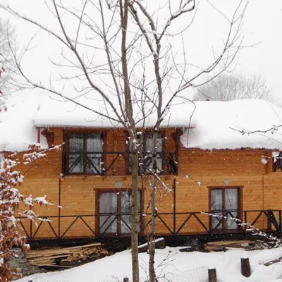 HomesteadHomestead "Dva Braty" Podobovets (sauna, tub)12 km from Mount KruhlaHot tubSaunaBBQNearby: Shypit Waterfall 2.0 kmMt Gemba 4.5 km16 trails
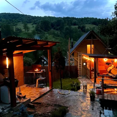 HomesteadPrivate Homestead "Forest House"19 km from Mount KruhlaThe house is designed for 6 people. Additional places are available.Nearby: St. Michael's Church 7.9 km10 trails
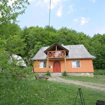 CottageCottage "U Horakh" Bukovets6.7 km from Mount KruhlaHot tubPoolSaunaNearby: Mt Gemba 6.3 kmShypit Waterfall 6.9 km2 trails
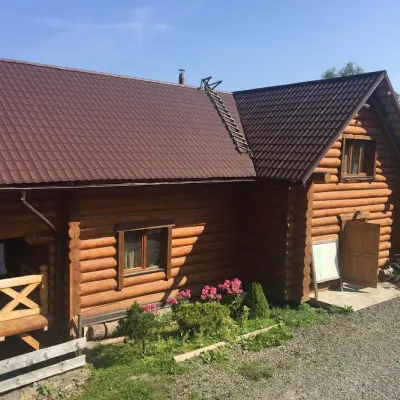 HotelMini-Hotel "Roksolana" Izky7.9 km from Mount KruhlaPoolSaunaSPANearby: Shypit Waterfall 5.2 kmMt Gemba 5.1 km14 trails
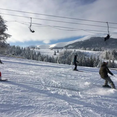 Ski resortSki Lifts and Trails of Eco-Resort "Izky"7.9 km from Mount KruhlaHot tubPoolSaunaNearby: Shypit Waterfall 5.3 kmMt Gemba 5.2 km14 trails
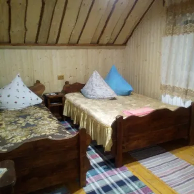 CottageCottage "Liliya" Izky8.8 km from Mount KruhlaSaunaSPABBQNearby: St. Nicholas Church 1.2 kmShypit Waterfall 6.0 km6 trails
Trails nearby
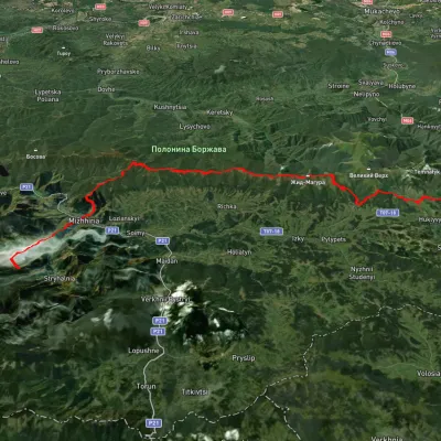 HardMulti-dayUnmarkedSynevyr Pass to Volovetsvia Mizhhiria, Mount Zhyd-Mahura +2Elevation profile435–1 508 m57.3 kmascent 2 396 munder 1 km from Mount Kruhla
 HardMulti-dayUnmarkedMizhhiria to Volovets villagevia Mount Zhyd-Mahura, Mount Hemba +1Elevation profile423–1 597 m55.2 kmascent 2 752 munder 1 km from Mount Kruhla
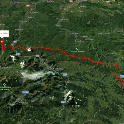 HardMulti-dayUnmarkedSkotarske village to Vilshanske reservoirvia Borzhava polonyna, Palenyi Hrun polonynaElevation profile315–1 504 m72.3 kmascent 3 487 munder 1 km from Mount Kruhla
Nearby attractions
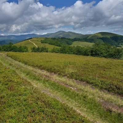 PeakMount Kychera (Mizhhiria)altitude 1 257 m · Borzhava range1.2 km from Mount KruhlaKychera is a 1,257 m summit (other sources give 1,241 m; it is also described as Kichera-Kruhlan) on the main crest of Polonyna Borzhava in Zakarpattia Oblast.
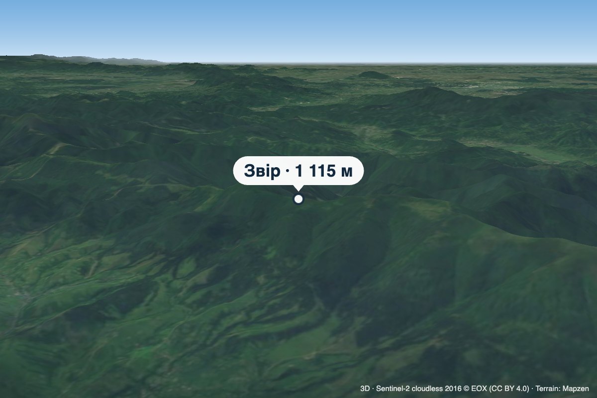 PeakMount Zviraltitude 1 115 m · Borzhava range1.4 km from Mount KruhlaZvir (also called Zvor) is a 1,115 m summit on the main crest of Polonyna Borzhava in Zakarpattia Oblast.
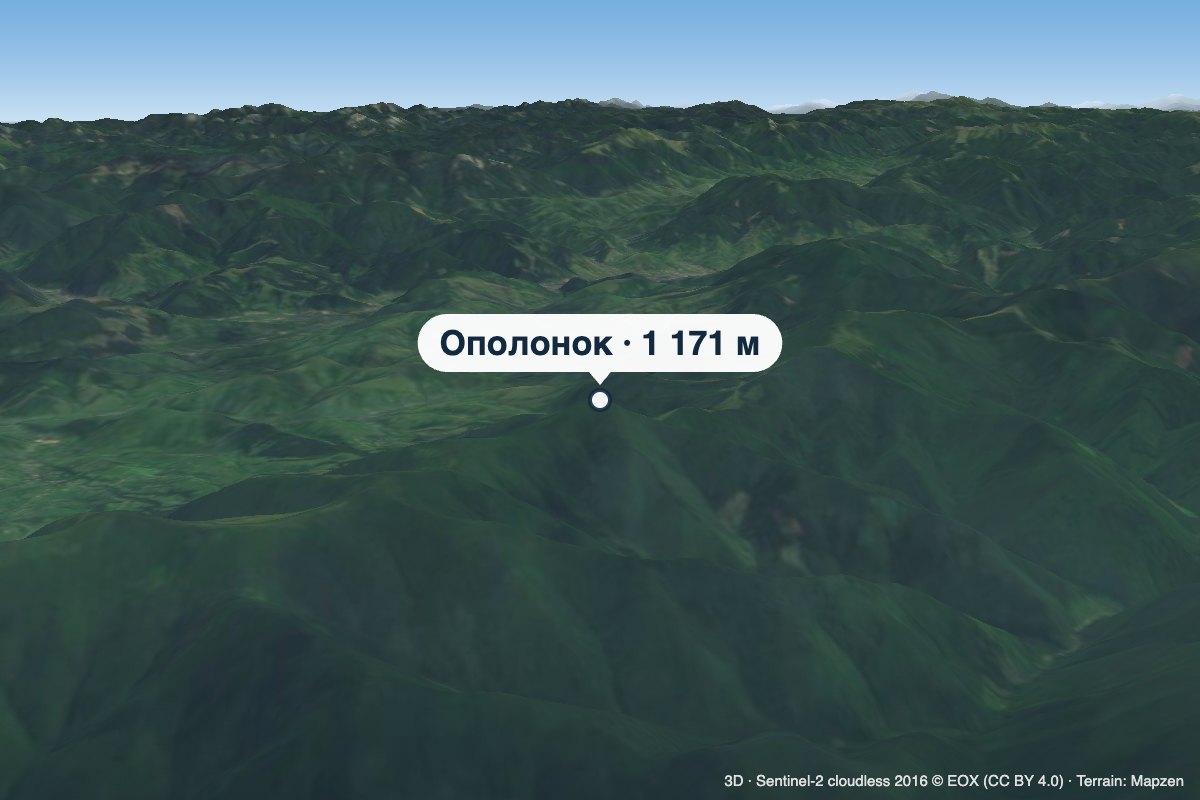 PeakMount Opolonokaltitude 1 171 m · Borzhava range2.3 km from Mount KruhlaOpolonok is a 1,171 m summit on the main crest of Polonyna Borzhava in Zakarpattia Oblast. From here, after crossing the Pryslip pass, the Borzhava crest starts to...