Mount Zvir
Zvir (also called Zvor) is a 1,115 m summit on the main crest of Polonyna Borzhava in Zakarpattia Oblast. It lies in the lower, south-eastern part of the massif, where the ridge climbs gradually from the Pryslip pass towards Zhyd-Mahura. The nearest village is Tiushka (about 2.7 km), with Richka and Potik a little farther away (about 3.7–3.9 km).
Zvir is one of the low “steps” of the crest: about 1.1 km to the south-east stands Opolonok (1,171 m), and 1.4 km to the north-west Kruhla (1,208 m). Further north-west the ridge rises to Kychera (1,257 m) and Shyrokyi Verkh, and then to the main summits of Borzhava.
How to get there
Fifteen of our routes cross Zvir or pass within 80 m of it — almost every traverse of the Borzhava crest between Mizhhiria and Volovets. The shortest start is right at the foot of the mountain:
- Tiushka – Mount Zhyd-Mahura – Mount Hemba – Mount Velykyi Verkh – Volovets, 35.2 km, about 1,540 m of ascent;
- Pylypets – Shypit Waterfall – Mount Hemba – Mount Zhyd-Mahura – Mizhhiria, 38.1 km, along the ridge from north to south;
- Skotarske – Polonyna Borzhava – Polonyna Palenyi Hrun – Nyzhnii Bystryi, 63.7 km, a multi-day crossing of the whole massif.
The Transcarpathian Tourist Trail also crosses the summit.
Water, shelter and safety
On our map the nearest spring is about 600 m north-west of the summit, at roughly 1,080 m; another, weak one lies about 900 m to the south-east, and two more about 1.2 km in the same direction, at around 1,060 m. The condition of most of them is unknown, so carry your own water. Our map shows no huts or shelters nearby. The Borzhava crest is exposed to wind and thunderstorms, and in fog it is easy to lose the path on the open pasture. The nearest summit with our forecast is the weather on Mount Stii, about 13 km away. In an emergency call 112 or 101 — contacts of the nearest units are on our mountain rescue page.
Comments
Places to stay nearby
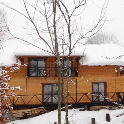 HomesteadHomestead "Dva Braty" Podobovets (sauna, tub)13 km from Mount ZvirHot tubSaunaBBQNearby: Shypit Waterfall 2.0 kmMt Gemba 4.5 km16 trails
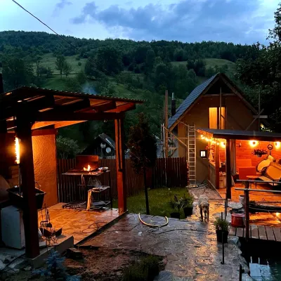 HomesteadPrivate Homestead "Forest House"20 km from Mount ZvirThe house is designed for 6 people. Additional places are available.Nearby: St. Michael's Church 7.9 km10 trails
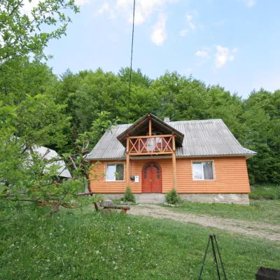 CottageCottage "U Horakh" Bukovets7 km from Mount ZvirHot tubPoolSaunaNearby: Mt Gemba 6.3 kmShypit Waterfall 6.9 km2 trails
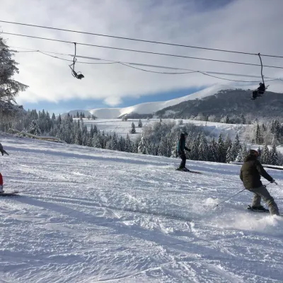 Ski resortSki Lifts and Trails of Eco-Resort "Izky"8.5 km from Mount ZvirHot tubPoolSaunaNearby: Shypit Waterfall 5.3 kmMt Gemba 5.2 km14 trails
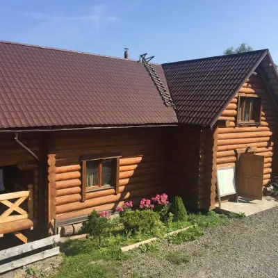 HotelMini-Hotel "Roksolana" Izky8.5 km from Mount ZvirPoolSaunaSPANearby: Shypit Waterfall 5.2 kmMt Gemba 5.1 km14 trails
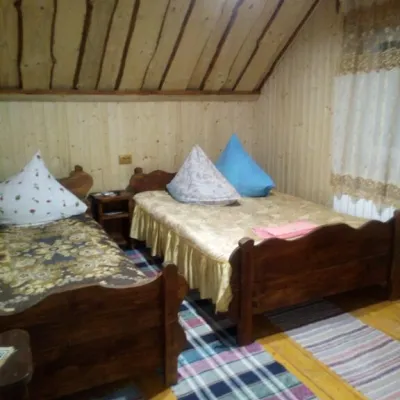 CottageCottage "Liliya" Izky9.2 km from Mount ZvirSaunaSPABBQNearby: St. Nicholas Church 1.2 kmShypit Waterfall 6.0 km6 trails
Trails nearby
 HardMulti-dayUnmarkedSkotarske village to Nyzhnii Bystryi villagevia Borzhava polonyna, Palenyi Hrun polonynaElevation profile287–1 505 m63.7 kmascent 3 008 munder 1 km from Mount Zvir
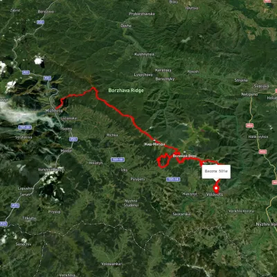 HardMulti-dayUnmarkedMizhhiria to Volovetsvia Mount Zhyd-Mahura, Mount Hemba +1Elevation profile430–1 478 m79.4 kmascent 3 584 munder 1 km from Mount Zvir
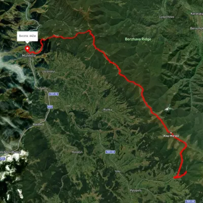 HardMulti-dayUnmarkedPylypets village to Mizhhiriavia Shypit Waterfall, Mount Hemba +1Elevation profile388–1 471 m38.1 kmascent 1 686 m≈ 13 h walkingunder 1 km from Mount Zvir
Nearby attractions
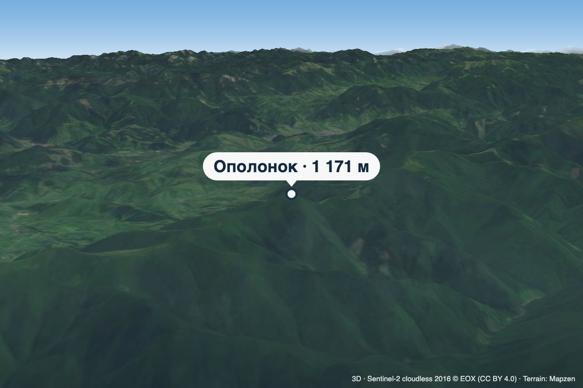 PeakMount Opolonokaltitude 1 171 m · Borzhava range1.1 km from Mount ZvirOpolonok is a 1,171 m summit on the main crest of Polonyna Borzhava in Zakarpattia Oblast. From here, after crossing the Pryslip pass, the Borzhava crest starts to...
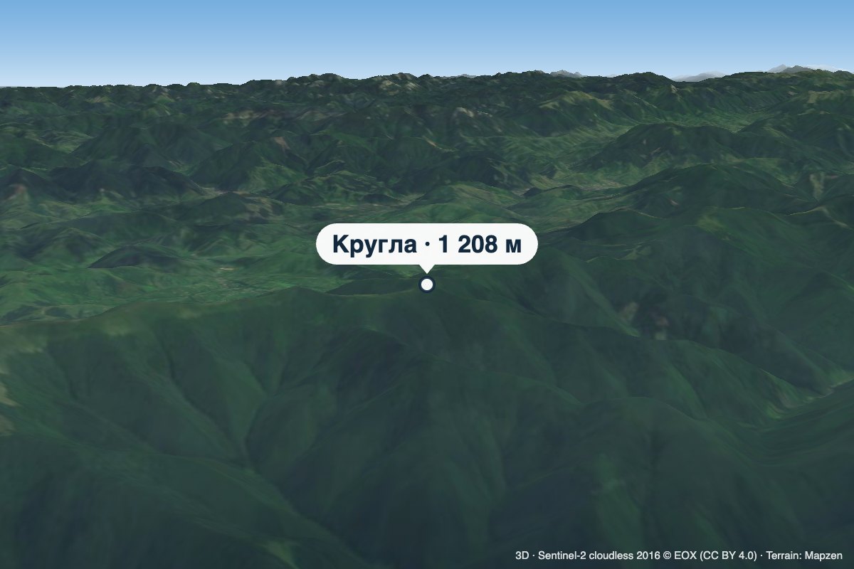 PeakMount Kruhlaaltitude 1 208 m · Borzhava range1.4 km from Mount ZvirKruhla is a 1,208 m summit on the main crest of Polonyna Borzhava in Zakarpattia Oblast, in its south-eastern part that descends towards Mizhhiria.
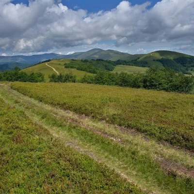 PeakMount Kychera (Mizhhiria)altitude 1 257 m · Borzhava range2.3 km from Mount ZvirKychera is a 1,257 m summit (other sources give 1,241 m; it is also described as Kichera-Kruhlan) on the main crest of Polonyna Borzhava in Zakarpattia Oblast.