Condition
Weak flowWeak flow — slow to fill, may disappear in hot weather.
- 1 075 m
About
Borzhava range, about 1 080 m above sea level. The nearest settlement is Tiushka, about 2.3 km in a straight line. 8 of the site’s trails pass nearby, including “1662 km railway station, via Mount Stiy, Mount Hemba and Mount Zhyd-Mahura to Mizhhiria”.
The flow is weak: filling a bottle takes time.
On the map
Coordinates: 48.55818, 23.35241
How to get there
Trails nearby
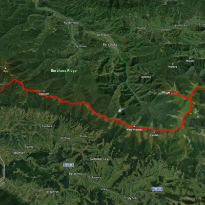 HardMulti-dayUnmarked1662 km railway station to Mizhhiriavia Mount Stiy, Mount Hemba +1Elevation profile372–1 672 m54.2 kmascent 2 497 m
 HardMulti-dayUnmarkedMizhhiria to Volovets villagevia Mount Zhyd-Mahura, Mount Hemba +1Elevation profile423–1 597 m55.2 kmascent 2 752 m
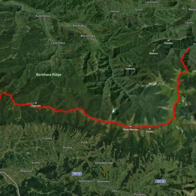 HardMulti-dayUnmarkedVovchyi village to Mizhhiriavia Mount Stiy, Mount Hemba +2Elevation profile342–1 668 m45.1 kmascent 2 350 m
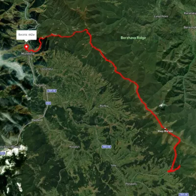 HardMulti-dayUnmarkedPylypets village to Mizhhiriavia Shypit Waterfall, Mount Hemba +1Elevation profile388–1 471 m38.1 kmascent 1 686 m≈ 13 h walking
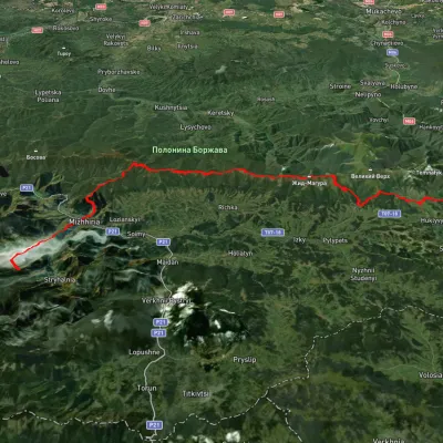 HardMulti-dayUnmarkedSynevyr Pass to Volovetsvia Mizhhiria, Mount Zhyd-Mahura +2Elevation profile435–1 508 m57.3 kmascent 2 396 m
 HardMulti-dayMarkedTranscarpathian Tourist TrailElevation profile198–2 031 m393.2 kmascent 30 283 m
Nearest settlement: Tiushka, about 2.3 km in a straight line.
Report the condition
Been here recently? Tell us what you saw and add photos — your report appears on the page right away with today’s date.
No photos yet — send yours together with a condition report.
