Mount Opolonok
Opolonok is a 1,171 m summit on the main crest of Polonyna Borzhava in Zakarpattia Oblast. From here, after crossing the Pryslip pass, the Borzhava crest starts to climb gradually north-west towards the highest summits of the massif. The nearest village is Tiushka (about 2.6 km), followed by Richka (about 4.3 km) and Potik (about 4.9 km). Do not confuse it with Opolonek on the Vododilnyi Ridge — a completely different mountain.
Opolonok’s nearest neighbour is Zvir (1,115 m), about 1.1 km to the north-west; beyond it, 2.3 km away, is Kruhla (1,208 m), and 3.3 km away Kychera (1,257 m). About 2.6 km to the south-east stands the summit of Pryslip (1,142 m).
How to get there
Twelve of our routes cross Opolonok or pass within 300 m of it. A few of them:
- Tiushka – Mount Zhyd-Mahura – Mount Hemba – Mount Velykyi Verkh – Volovets, 35.2 km, the shortest approach from the foot of the mountain;
- Volovets – Mount Velykyi Verkh – Shypit Waterfall – Mount Hemba – Mount Zhyd-Mahura – Mizhhiria, 51.0 km, the whole ridge from the north;
- Mizhhiria – Mount Zhyd-Mahura – Mount Hemba – Shypit Waterfall – Volovets, 79.4 km, about 3,580 m of ascent, passing 20 m from the summit.
Water, shelter and safety
Opolonok is one of the best-watered summits in this part of Borzhava: our map shows two springs about 330 m to the east, at around 1,060 m (one of them with drinking water), and another, weak one about 360 m to the north. The condition of the others is unknown, so check the water on site. Our map shows no huts or shelters nearby. The ridge is open and dangerous in thunderstorms and fog. The nearest summit with our forecast is the weather on Mount Stii, about 14 km away. In an emergency call 112 or 101 — contacts of the nearest units are on our mountain rescue page.
Interesting facts
- Opolonok and the Pryslip pass (about 938 m) are described as the place where the main Borzhava crest begins to rise towards the north-west.
- The popular “Over the Summits of Polonyna Borzhava” route crosses the nearby Pryslip pass; on 10 December 1914 Polish Legionnaires fought Russian troops there, and the stone cross on the pass was most likely erected in memory of the fallen.
Comments
Places to stay nearby
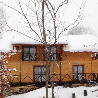 HomesteadHomestead "Dva Braty" Podobovets (sauna, tub)14 km from Mount OpolonokHot tubSaunaBBQNearby: Shypit Waterfall 2.0 kmMt Gemba 4.5 km16 trails
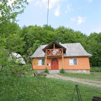 CottageCottage "U Horakh" Bukovets8 km from Mount OpolonokHot tubPoolSaunaNearby: Mt Gemba 6.3 kmShypit Waterfall 6.9 km2 trails
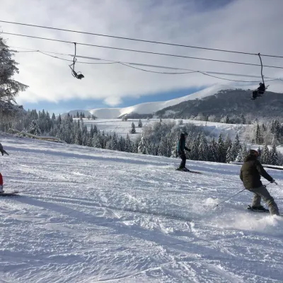 Ski resortSki Lifts and Trails of Eco-Resort "Izky"9.5 km from Mount OpolonokHot tubPoolSaunaNearby: Shypit Waterfall 5.3 kmMt Gemba 5.2 km14 trails
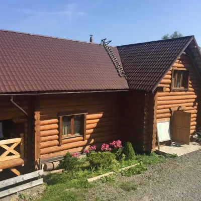 HotelMini-Hotel "Roksolana" Izky9.5 km from Mount OpolonokPoolSaunaSPANearby: Shypit Waterfall 5.2 kmMt Gemba 5.1 km14 trails
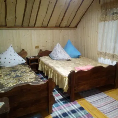 CottageCottage "Liliya" Izky10 km from Mount OpolonokSaunaSPABBQNearby: St. Nicholas Church 1.2 kmShypit Waterfall 6.0 km6 trails
 HomesteadHomestead "Hostynny Dvir" Izky10 km from Mount OpolonokSaunaBBQKitchenNearby: St. Nicholas Church 100 mShypit Waterfall 7.3 km
Trails nearby
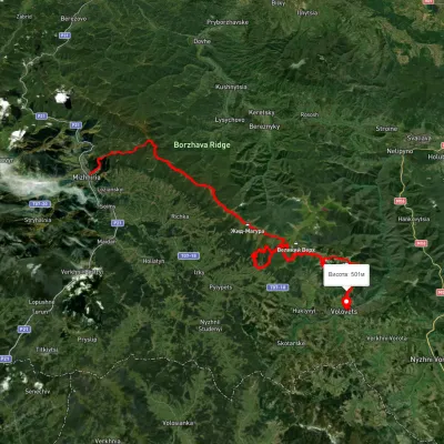 HardMulti-dayUnmarkedMizhhiria to Volovetsvia Mount Zhyd-Mahura, Mount Hemba +1Elevation profile430–1 478 m79.4 kmascent 3 584 munder 1 km from Mount Opolonok
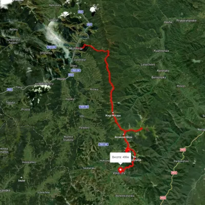 HardMulti-dayUnmarkedMizhhiria to Volovets villagevia Mount Zhyd-Mahura, Mount Hemba +2Elevation profile434–1 664 m56.4 kmascent 3 196 munder 1 km from Mount Opolonok
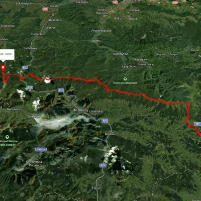 HardMulti-dayUnmarkedSkotarske village to Vilshanske reservoirvia Borzhava polonyna, Palenyi Hrun polonynaElevation profile315–1 504 m72.3 kmascent 3 487 munder 1 km from Mount Opolonok
Nearby attractions
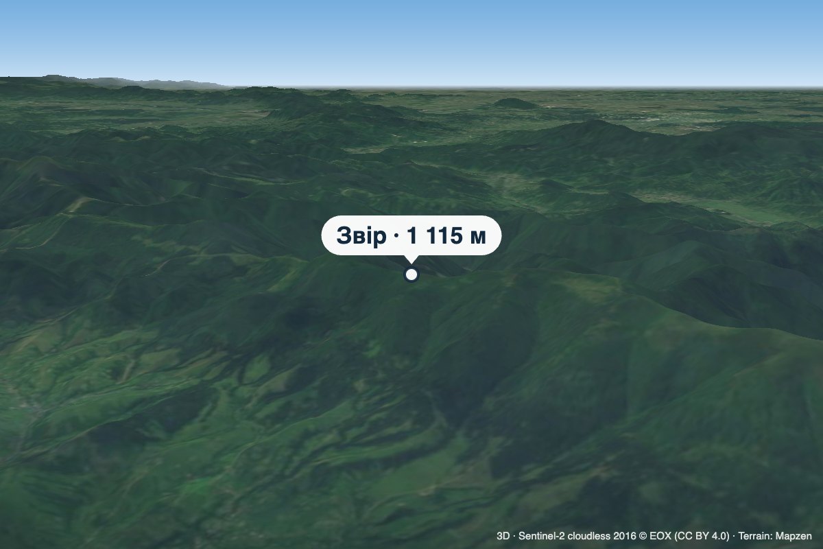 PeakMount Zviraltitude 1 115 m · Borzhava range1.1 km from Mount OpolonokZvir (also called Zvor) is a 1,115 m summit on the main crest of Polonyna Borzhava in Zakarpattia Oblast.
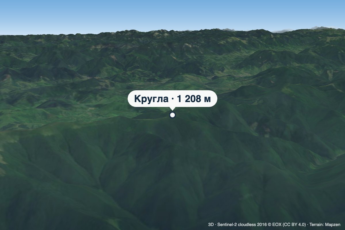 PeakMount Kruhlaaltitude 1 208 m · Borzhava range2.3 km from Mount OpolonokKruhla is a 1,208 m summit on the main crest of Polonyna Borzhava in Zakarpattia Oblast, in its south-eastern part that descends towards Mizhhiria.
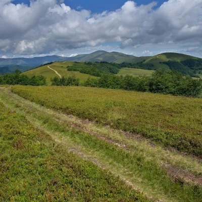 PeakMount Kychera (Mizhhiria)altitude 1 257 m · Borzhava range3.3 km from Mount OpolonokKychera is a 1,257 m summit (other sources give 1,241 m; it is also described as Kichera-Kruhlan) on the main crest of Polonyna Borzhava in Zakarpattia Oblast.