Izky village – Mount Zhyd-Mahura (green trail)
Trail map
Route, springs and shelters: © OpenStreetMap contributors (ODbL) · elevation: Copernicus DEM © DLR e.V., © Airbus DS · Data & licences
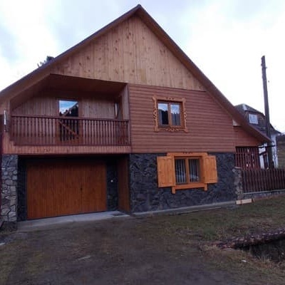
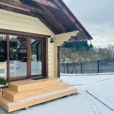
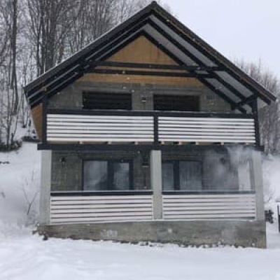
Where to stay nearby

About the trail
Route Izky village – Mount Zhyd-Mahura (green trail). Has green marking (local route). Waymarking data: OpenStreetMap (© OpenStreetMap contributors, ODbL).
Officially marked local tourist route. The marking is green, the sign is a horizontal stripe on a white background. The length of the route is 7.7 km. Location: mountain range — Vododіlnyi Ridge, Zakarpattia region.
At a glance
A one-day route of 7.7 km with 1,027 m of ascent from Izky village to Mount Zhyd-Mahura (green trail). Estimated walking time: about 3.5 h, not counting stops. Difficulty: moderate. Waymarking: green.
Route stages
- 0–2 kmClimb of 220 m (up to 763 m)
- 2–4.5 kmGentle ups and downs at 720–780 m
- 4.5–7.5 kmClimb of 690 m to Mount Zhid-Magura (1,517 m)
Steepest kilometre: km 6–7, a climb of 290 m (≈29%).
Water and overnight stays
Springs near the trail: at km 6 and 7.5. Some springs run low or dry up in late summer.
Huts and shelters near the trail: Hut below Mount Mahura-Zhyde (km 5). Places to stay near the start: Izky; near the finish: Pylypets.
When to go
Best time: May to October. In winter deep snow is possible, so experience and winter gear are needed.
Getting there
Start: Izky village. Most places to stay near the start are in Izky. This is a one-way route: the finish is 7 km from the start in a straight line, so plan your way back in advance.
FAQ
- How long does the route take?
- Estimated walking time: about 3.5 h, not counting stops.
- Is there water on the route?
- Springs near the trail: at km 6 and 7.5. Some springs run low or dry up in late summer.
- Where can I stay overnight?
- Huts and shelters near the trail: Hut below Mount Mahura-Zhyde (km 5). Places to stay near the start: Izky; near the finish: Pylypets.
Water and shelter on the route
- Hut below Mount Mahura-Zhydekm 4.9 from the start · Not verified · 830 m
- Spring below Mount Zhyd–Mahura (8)km 5.8 from the start · Not verified · 1 033 m
- Spring below Mount Zhyd–Mahura (4)km 7.7 from the start · 250 m off the path · Not verified · 1 415 m
Wildlife along the route
All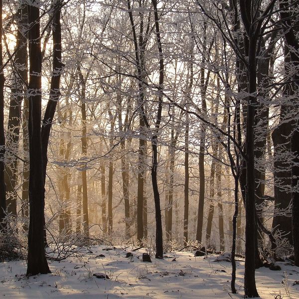
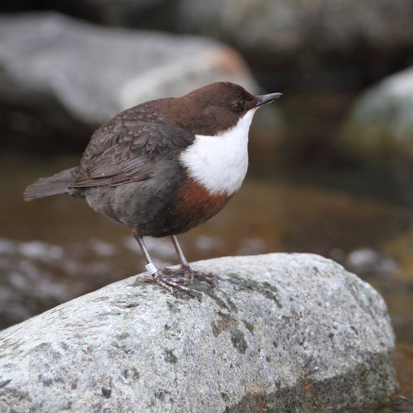
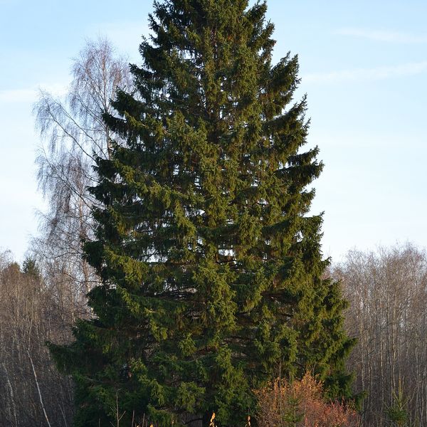
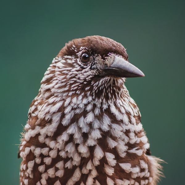
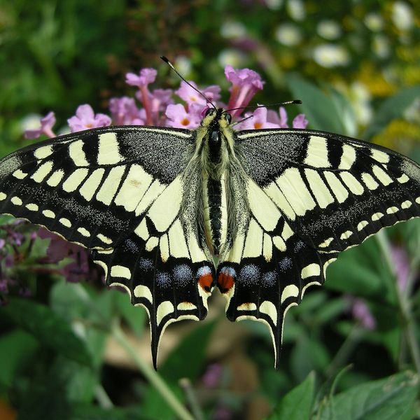
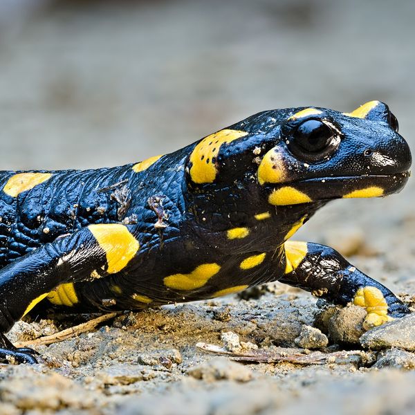
Based on naturalists’ records nearby (GBIF, iNaturalist), matched by altitude, habitat and season. Sightings are not guaranteed.
Before you go, check the border-regime restrictions: Border Guard permit for mountain hikes (in Ukrainian)
Comments
Trails nearby
All trails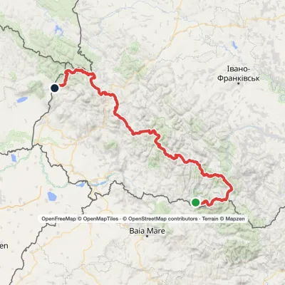 HardMulti-dayMarkedTranscarpathian Tourist TrailElevation profile202–2 061 m393.2 kmascent 17 790 m
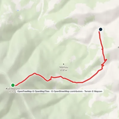 EasyOne-dayMount Zhyd-Mahura Izky villageElevation profile619–1 517 m6.9 kmascent 103 m≈ 2 h walking
 HardMulti-dayMarkedSynevyr Pass to Volovetsvia Mizhhiria, Mount Zhyd-Mahura +2Elevation profile427–1 517 m57.3 kmascent 2 406 m
Craft nearby
All craft places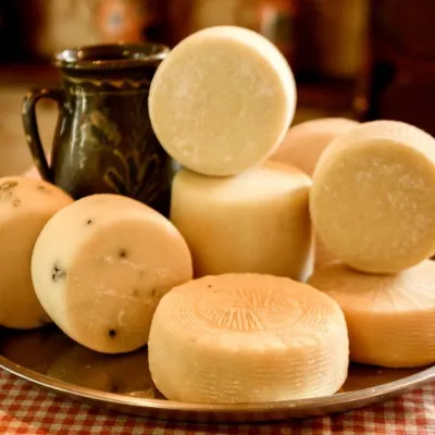 Cheese dairies & pasturesIZKI Highland Cheese Dairy, IzkyIzky2.5 km from the trailThe IZKI cheese dairy is the culinary highlight of the eco-resort of the same name in the village of Izky, Zakarpattia.
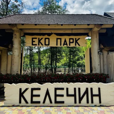 Wildlife parks & animal farmsKelechyn Eco Park, KelechynKelechyn4.6 km from the trailKelechyn Eco Park is a small petting park in the village of Kelechyn in Zakarpattia, on the road from Mizhhiria towards Volovets.
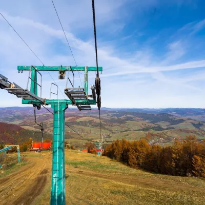 Adventures & attractionsPylypets Sky & Bike Park: chairlift and bike park, PylypetsPylypets6.7 km from the trailPylypets Sky & Bike Park is a chairlift and bike park in the Zakarpattia village of Pylypets, one of the region’s best-loved ski resorts.
 Crafts & workshops4 Seasons Pottery Studio and Horse Riding, SlavskeSlavske22 km from the trailThe 4 Seasons cottage complex in Slavske is known not only for its wooden chalets but also for two activities that turn an ordinary mountain break into something...
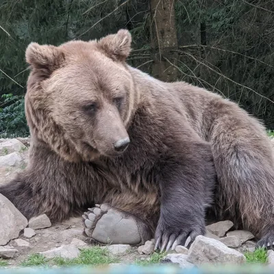 Wildlife parks & animal farmsBrown Bear Rehabilitation Centre, Synevyr National Park, Synevyrska PolianaSynevyrska Polyana23 km from the trailThe Brown Bear Rehabilitation Centre of Synevyr National Nature Park is Ukraine’s largest refuge for bears that have suffered from cruel treatment.
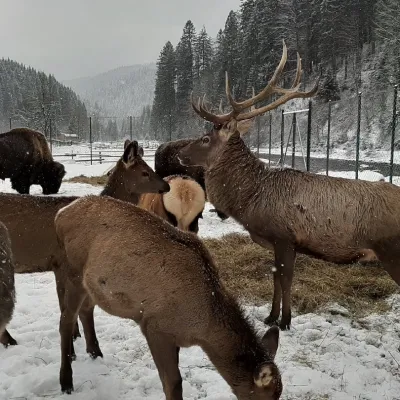 Wildlife parks & animal farmsWolf Valley Eco Park, Synevyrska PolianaSynevyrska Polyana23 km from the trailWolf Valley Eco Park (Dolyna Vovkiv) is a private animal park in Synevyrska Poliana, in the Mizhhiria area of Zakarpattia, where several kinds of wolves, red deer,...
