Old World swallowtail
About
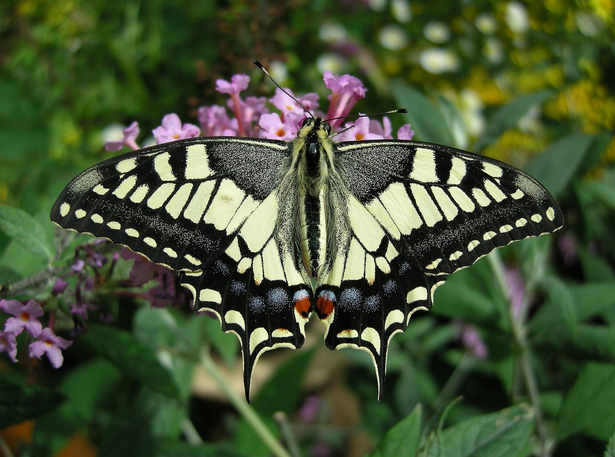
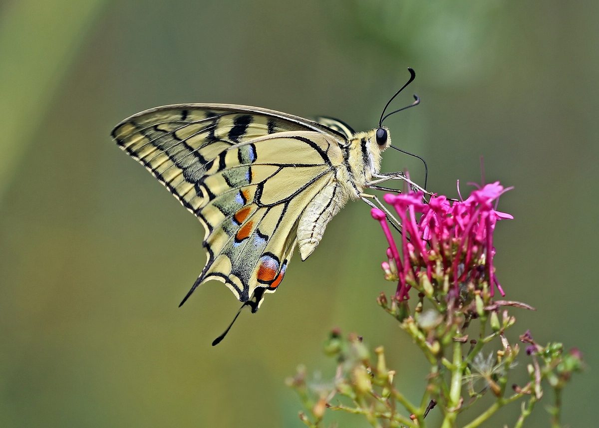
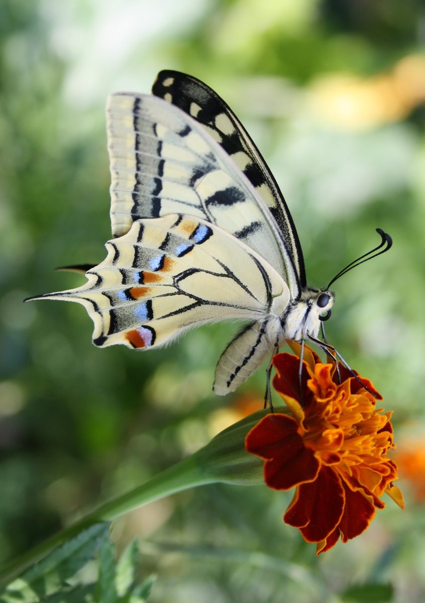
The Old World swallowtail is one of the largest and most beautiful butterflies in Ukraine, with a wingspan of up to 94 mm; females are larger than males. The wings are yellow, with black veins and spots and a wide black border, and on the hindwings, there are blue and yellow spots, black 'tails,' and a reddish eye spot in the corner. In the Carpathians, the Old World swallowtail can be seen in flowering meadows, forest edges, gardens, and fields where umbelliferous plants grow.
In the temperate climate, particularly in Ukraine, the Old World swallowtail has two generations per year, while in the mountains and the north, there is only one. The female, hovering in the air, lays eggs one by one on the host plants. The caterpillar primarily feeds on umbellifers — carrot, dill, caraway, hogweed — as well as rue, ash tree, wormwood, and woodruff.
The caterpillar of the Old World swallowtail changes as it grows. The young one is velvety black with a white spot on its back and resembles bird droppings, so birds do not touch it. The adult is light green with black transverse stripes and red spots. When disturbed, it protrudes two orange-red horns from behind its head, which smell sharp and repel ants and birds. The Old World swallowtail overwinters as a pupa.
Development in warm weather is rapid: the egg matures in 3–5 days, and the caterpillar and pupa each take 1–2 weeks, depending on the temperature. Summer pupae are yellowish or green, and their color depends on what they hang on, while winter pupae are light brown. The butterfly was named by Carl Linnaeus in honor of Machaon — a physician, son of Asclepius, a hero of the Trojan War from ancient Greek myths.
In the Red Data Book of Ukraine 2009, the Old World swallowtail had the status of a vulnerable species, but it is not included in the current list of 2021. Regionally, it is protected in the Carpathians and several regions. If you find a caterpillar of the Old World swallowtail on dill or carrot, leave it: it will become a large butterfly.
Where in the Carpathians

The map shows where naturalists recorded the species (GBIF, CC0 and CC BY records), not every place it lives. The Ukrainian Carpathians are less studied, so a blank area does not mean the species is absent.
- Countries
- Hungary · Ukraine · Romania · Austria · Slovakia · Poland · Czechia
- Mountain ranges
- Gorgany, Pokuttia-Bukovina Carpathians, Chornohora, Bükk, Bucegi Mountains, Maramureș Mountains, Mátra, Börzsöny and Cserhát, Polonynian Ridge, Vihorlat-Gutin Volcanic Ridge
- Altitude belts
- Foothills (below 600 m) · Beech forests (600–1200 m)
When to see it
| Jan | Feb | Mar | Apr | May | Jun | Jul | Aug | Sep | Oct | Nov | Dec | |
|---|---|---|---|---|---|---|---|---|---|---|---|---|
| Sightings |
From naturalists’ observations in the Carpathians (iNaturalist, research grade): the darker the cell, the more often the species is seen that month.
Protection and rules
Not included in the Red Data Book of Ukraine 2021 (listed as vulnerable in 2009); regionally protected in the Carpathians.
FAQ
Is the Old World swallowtail included in the Red Data Book of Ukraine?
In the 2009 edition — yes, as a vulnerable species. It is not included in the current list of 2021, but it is regionally protected in the Carpathians.
What is the green caterpillar with black stripes on carrot or dill?
This is the caterpillar of the Old World swallowtail. When disturbed, it protrudes orange horns with a sharp smell. Do not destroy it — it will grow into a large butterfly.
Similar species
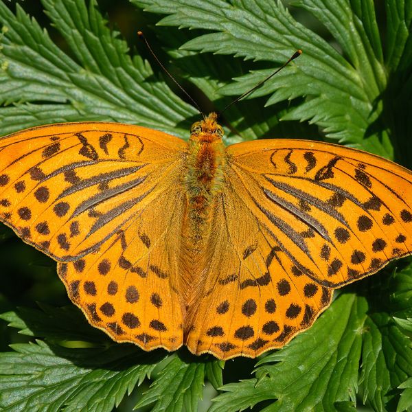
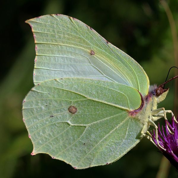
Where to meet it
Trails
 HardMulti-dayChorna Tysa village to Kvasy villagevia Dragobrat, Lake Vorozheska +3Elevation profile631–1 771 m36.6 kmascent 1 728 m≈ 12.5 h walking
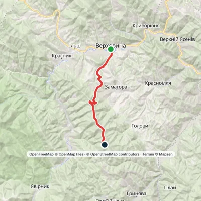 ModerateTwo-dayVerkhovyna Krynta-Skupova ridgeElevation profile601–1 422 m18.7 kmascent 908 m≈ 6.5 h walking
 HardMulti-dayVolovets to Podobovets villagevia Mount Plai, Mount Velykyi Verkh +1Elevation profile488–1 598 m25 kmascent 1 499 m≈ 9 h walking
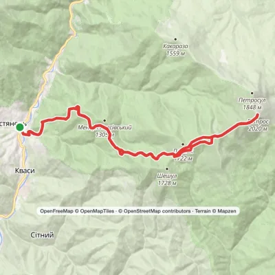 HardMulti-dayMarkedKvasy village loopvia Mount PetrosElevation profile538–2 020 m31 kmascent 1 483 m≈ 10.5 h walking
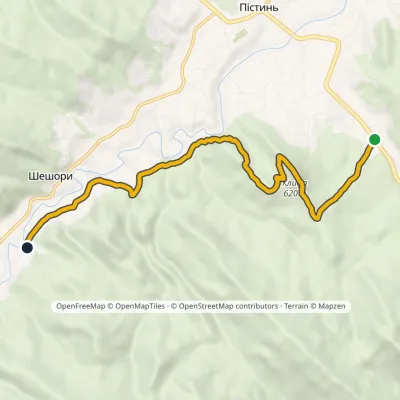 EasyOne-dayMarkedSt Nicholas Estate Malyi Huk Waterfall (Sheshory)Elevation profile407–620 m7.2 kmascent 241 m≈ 2.5 h walking
 HardMulti-dayMarkedYasinia to Kvasy villagevia Mount Petros, Mount SheshulElevation profile535–2 020 m30.3 kmascent 1 590 m≈ 11 h walking
 HardTwo-dayPolianytsia village loopvia Mount Dovbushanka, Mount VedmezhykElevation profile897–1 754 m20.5 kmascent 1 202 m≈ 7.5 h walking
 HardMulti-dayMarkedKvasy village to Yasiniavia Mount PetrosElevation profile540–2 020 m29.2 kmascent 1 492 m≈ 10.5 h walking
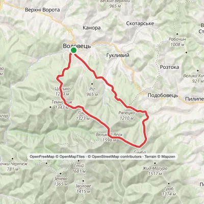 HardMulti-dayMarkedVolovets loopvia Mount Plai, Mount Velykyi Verkh +2Elevation profile488–1 598 m29.3 kmascent 2 039 m≈ 11.5 h walking
 HardMulti-dayMarkedKvasy village to Yasiniavia Mount Blyznytsia, Mount Stih +4Elevation profile556–1 883 m41 kmascent 2 390 m
 HardMulti-dayMarkedBilasovytsia village to Uzhok villagevia Mount Pikui, the Ruska Put Pass +1Elevation profile575–1 408 m37.1 kmascent 1 602 m≈ 12.5 h walking
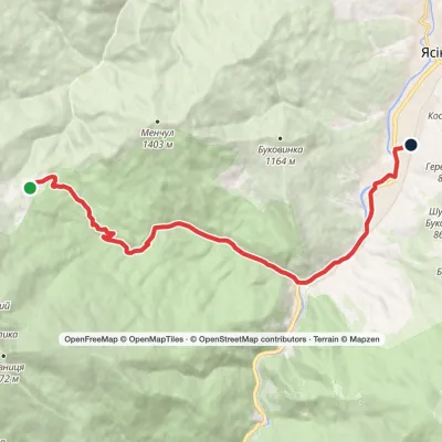 EasyOne-dayDragobrat YasiniaElevation profile624–1 299 m13.1 kmascent 41 m≈ 3.5 h walking
Peaks and meadows
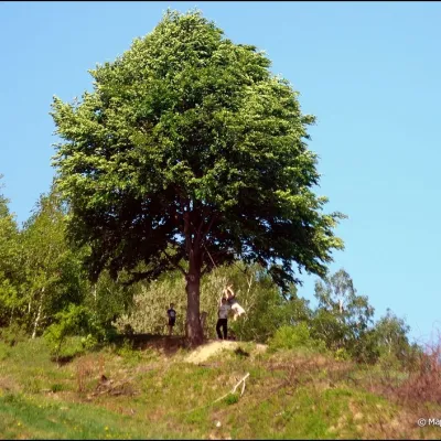 PeakMount KicheraKosivaltitude 567 mThe march to Kichera is an easy walk that all tourists can do. The small length of the march allows you to take your...
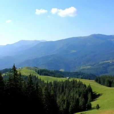 Mountain meadowPolonyna Psarivka, BystretsVerkhovynaUkrainians, for example, call such meadows polonyny. Today we will talk about the Psarivka meadow.
 Mountain meadow674 mPolonyna Rosokhata (Sheshory)SheshoryWhy is the meadow called "Rosokhata"? The two parts of the field that form the branches look like dewdrops.
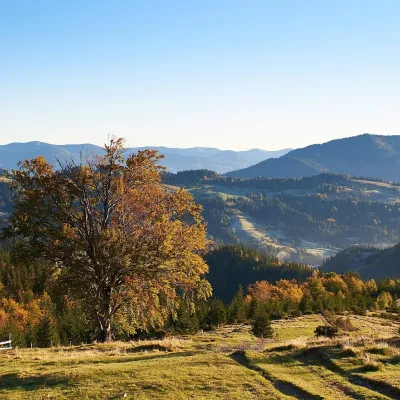 Mountain meadow1 200 mPolonyna SmotrychDzembroniaSmotrych Polonyna is a summer mountain pasture on the north-eastern spur of Mount Smotrych (1,898 m) in the...
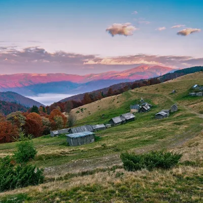 Mountain meadow1 240 mPolonyna Menchul (Kvasy)KvasyMenchul Polonyna above the village of Kvasy is a broad open shoulder on the south-western spur of the Chornohora...
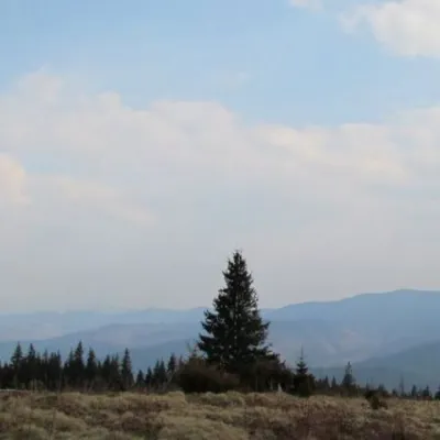 Mountain meadow1 200 mPolonyna ShchivkaYaremcheThe Shchivka meadow has a very good location. Its length is about 700 meters, it has a slight slope, which protects...
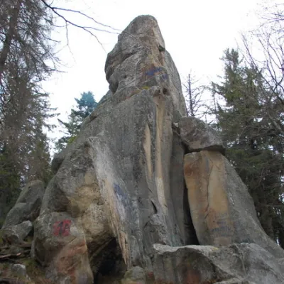 PeakWhite Stone RockDoraaltitude 538 m7 trails to the topThe White Stone Rock is located in the village of Dora in the Carpathians and is one of the most prominent natural...
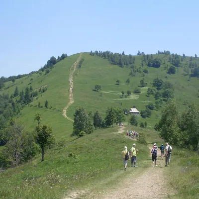 Mountain meadow984 mMount Makovytsia, YaremcheYaremcheMakovytsia (984 m) is a mountain of the Gorgany range on the eastern edge of Yaremche, in the Carpathian National...
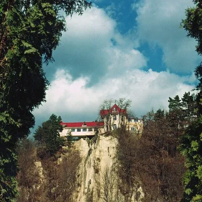 PeakCastle Hill (City)Kosivaltitude 450 mThe top offers a panoramic view of the city. The mountain is home to unique black alpine pines, as well as deciduous...
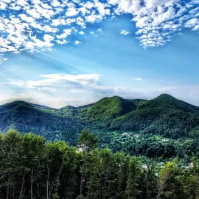 PeakMount Sopka (Stizhky, Zinyakov top).Kosivaltitude 620 m2 trails to the topStizhki (620 meters) offers a panoramic view of the city of Kosiv. The mountain is covered with forests - beech,...
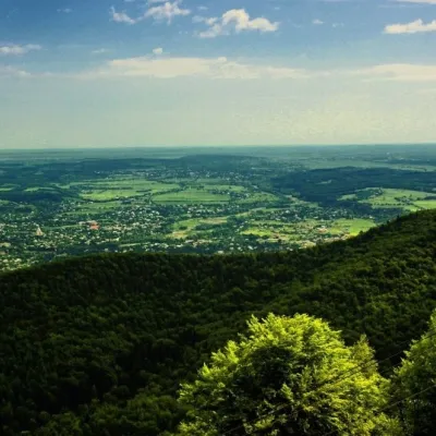 PeakMount Mykhalkova (Kosiv)Kosivaltitude 812 m2 trails to the topMount Mykhalkova (Mykhalkiv), with a height of 812 meters, is part of the Pokuttya Carpathians.
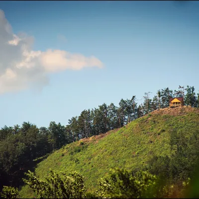 PeakMount Ostry (Ostra)Kosivaltitude 584 m2 trails to the topThe mountain offers wonderful views of the entire Kosiv. The descent is steep, and autumn is magical here.
Waters and waterfalls
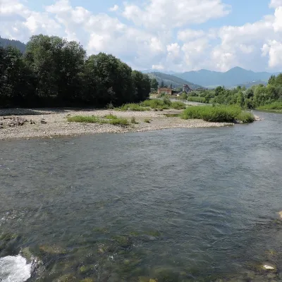 RiverChornyi Cheremosh RiverVerkhovynaThe Chornyi Cheremosh rises south-east of Burkut on the slopes of the Chyvchyn Mountains, the most remote corner of...
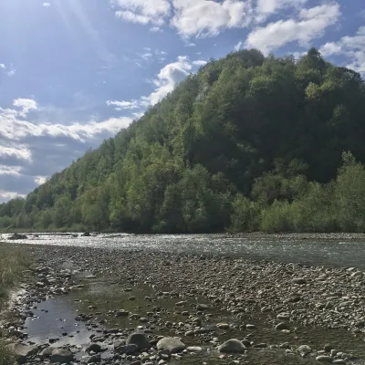 RiverBystrytsia Nadvirnianska RiverNadvirnaThe Bystrytsia Nadvirnianska rises on the northern slope of Mount Chorna Kleva in the Gorgany, at about 1,280 m.
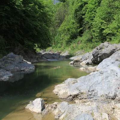 RiverPistynka RiverPistynThe Pistynka is a 56-km mountain tributary of the Prut. It rises on the eastern slopes of Mount Versalem in the...
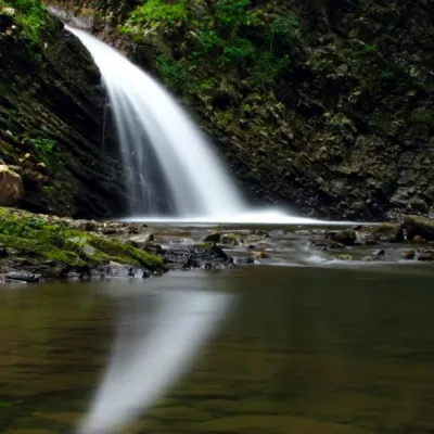 WaterfallChernytsia (Chernykovsky) waterfall, ChernykZelenaChernytsiaWaterfall is a secluded and picturesque place in Ivano-Frankivsk region.
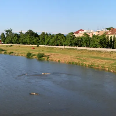 RiverLatorytsiaRoztokaLatorytsia River - Latorytsia and its surroundings are a popular destination for eco-tourism.
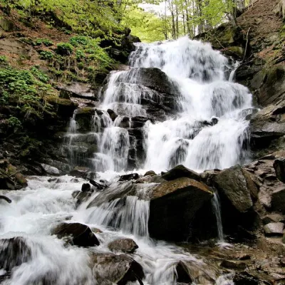 Waterfall"Shypit Waterfall" PylypetsPylypetsIn a cozy corner of the Carpathian Mountains, among the evergreen mountain forests and steep, sharp cliffs, lies the...
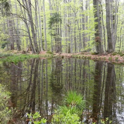 LakeDead Lake (Sheshory)SheshoryNot far from the Rosokhata valley, on the neighboring Karmatura ridge, there is the Dead Lake.
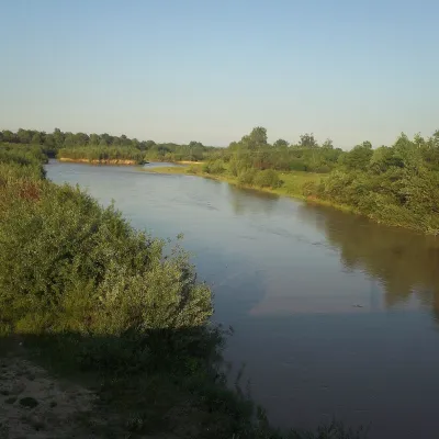 RiverSiret RiverBerehometThe Siret is a major Danube tributary 682 km long, but only its first 123 km lie in Ukraine.
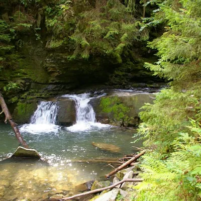 WaterfallWaterfall Maiden's Tears, YaremcheYaremcheMaiden's Tears is a waterfall in the Ukrainian Carpathians (Gorgany massif).
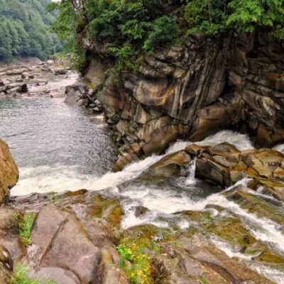 WaterfallProbiy waterfall, YaremcheYaremcheProbiy Waterfall is located in the heart of the Carpathian Mountains, in the city of Yaremche.
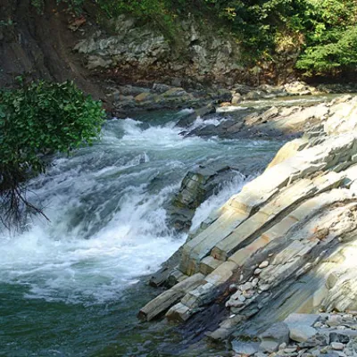 WaterfallKosivskyi Huk WaterfallKosivKosivskyi Huk - one of the most beautiful waterfalls in the Ukrainian Carpathians (in the Pokuttya-Bukovyna...
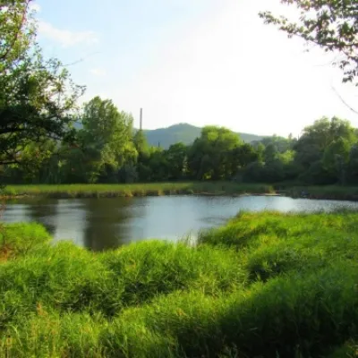 LakeCity Banske Lake (Kosiv)KosivThere are lakes of technogenic origin in the Hutsul mountains. One such lake is Banske Lake (near the former factory ...
Mountain ranges: Gorgany, Pokuttia-Bukovina Carpathians, Chornohora, Maramureș Mountains, Polonynian Ridge, Vihorlat-Gutin Volcanic Ridge, Borzhava. In other countries: 🇭🇺 Bükk, 🇷🇴 Bucegi Mountains, 🇭🇺 Mátra, 🇭🇺 Börzsöny and Cserhát, 🇭🇺 Zemplén Mountains, 🇷🇴 Bihor-Vlădeasa Mountains, 🇷🇴 Buzău Mountains
Trails and peaks near which naturalists recorded the species (GBIF, iNaturalist), matched by altitude and habitat. Sightings are not guaranteed.
Sources
- Вікіпедія: Махаон (комаха)
- Wikipedia (en): Papilio machaon
- Перелік видів тварин, що заносяться до Червоної книги України (наказ Міндовкілля від 19.01.2021 № 29, зареєстровано в Мін'юсті 01.03.2021 за № 260/35882)
- Міндовкілля: текст переліку видів тварин Червоної книги України (PDF)
- GBIF: таксон і категорія МСОП
GBIF · iNaturalist · Wikidata · Distribution data: GBIF.org (CC0 and CC BY records), iNaturalist; names and identifiers: Wikidata (CC0). Text: Karpaty.rocks, checked 09.11.2026.
