Mount Apetska
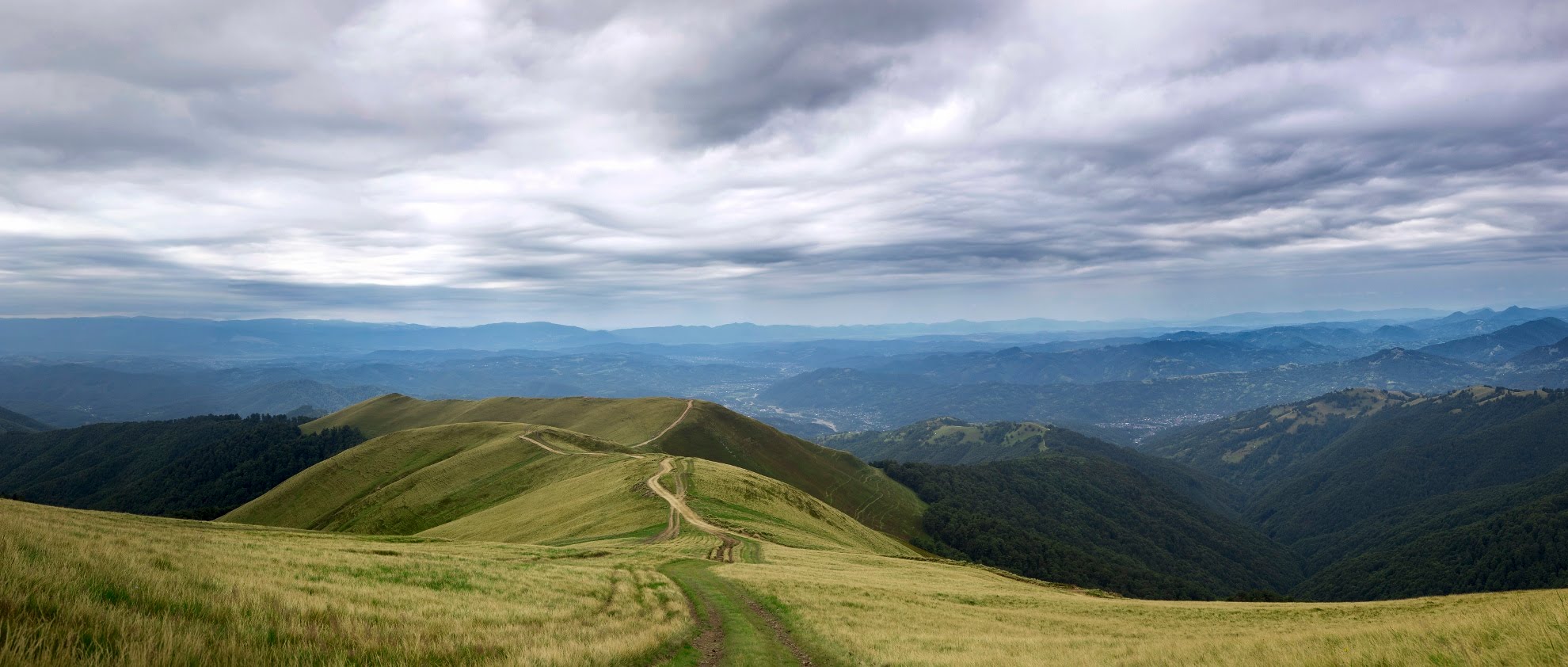
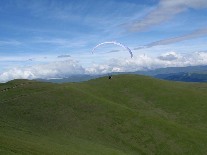
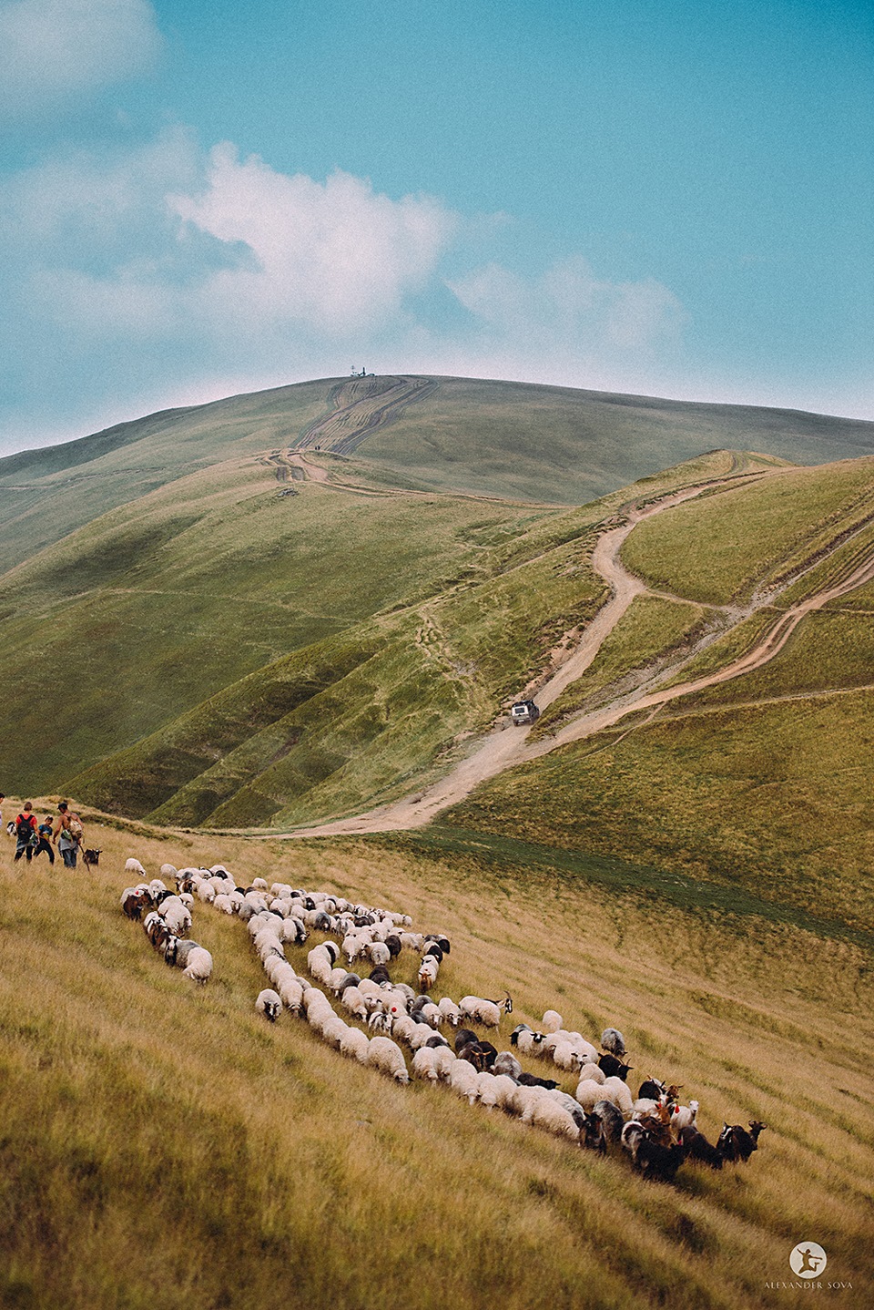
Apetska is a peak in the Ukrainian Carpathians, on the border of the Tyachiv and Rakhiv districts of Zakarpattia region.
Apetska Mountain is located to the east of the village of Dubove (about 8 km to the top).
Some people refer to Apetska as part of the Svydovets mountain range. However, the mountain belongs to the so-called island mountains, i.e. mountains that are not connected to any ridge or mountain range.
Apetska has several peaks, the highest of which are 1511 and 1512 meters. In plan (top view), the mountain somewhat resembles a giant letter X with ramens up to 3 km long. The name of the mountain comes from the Romanian language and means "water" (apă is Romanian for water). Apetska is named so for a reason, because there are many springs on its slopes that give rise to streams - tributaries of such rivers as Teresva, Velykyi Plavuts, Kraina Rika, and others. Up to an altitude of about 1400 meters, the mountain is covered with coniferous and beech forests, and above that there are meadows with blueberry fields.
In recent years, a road has been built to Apets'ka, which can be used to reach its peaks even by car or motorcycle. Thanks to this, the mountain is becoming an increasingly attractive destination for weekend trips. From Apetska, in clear weather, you can see Mount Hoverla (38 km away) and part of the city of Khust (about 50 km away).
On the eastern slopes of the peak, the Skurtul stream, the right tributary of the Mala Shopurka, originates.
Location on the map
Water and shelter nearby
- Spring below Mount Apetska1.3 km · Not verified · 1 380 m
- Spring below Mount Apetska (2)1.6 km · Not verified · 1 300 m
- Spring below Mount Apetska (4)1.8 km · Not verified · 1 283 m
- Hut below Mount Apetska1.9 km · Not verified · 1 224 m
- Spring below Mount Apetska (5)2.1 km · Not verified · 1 269 m
- Mountain shelter below Mount Apetska2.3 km · Not verified · 1 255 m
- Spring below Mount Apetska (3)2.4 km · Not verified · 1 150 m
- Hut (Krasna)2.5 km · Not verified · 1 234 m
Comments
Places to stay nearby
All stays HotelHotel Complex "Velykyi" KalynyKalyny11 km from Mount ApetskaPoolSaunaBBQ
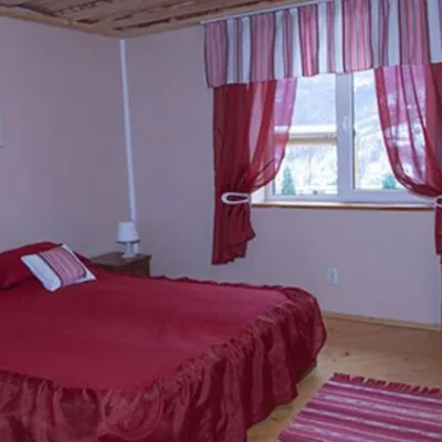 HotelComplex "Sadiba Lazok"Kobyletska Poliana15 km from Mount ApetskaSaunaKitchenKids
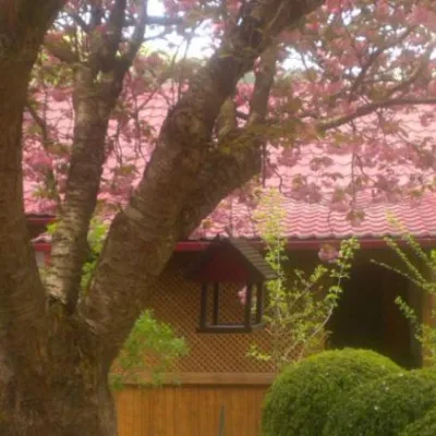 HotelComplex "Kvasny"Kobyletska Poliana17 km from Mount ApetskaSauna
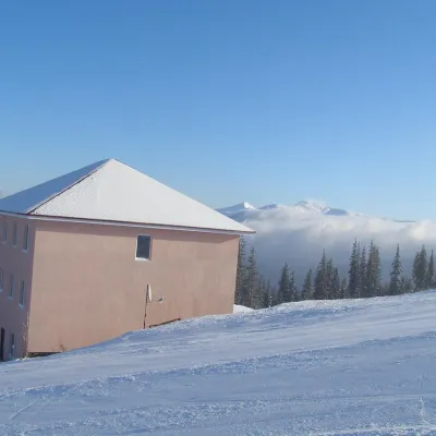 HotelHomestead "Malva"Drahobrat19 km from Mount ApetskaTransferNearby: Mt Stih 900 mMt Bliznytsia 2.6 km9 trails
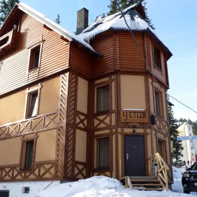 HotelHotel "U Stozi" (Dragobrat - Yasinya)Yasinya19 km from Mount ApetskaBBQParkingWi‑FiNearby: Mt Stih 1.2 kmMt Bliznytsia 2.9 km9 trails
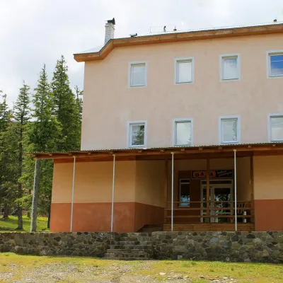 HotelSports and Tourism Complex "Oaza" DragobratDrahobrat19 km from Mount ApetskaPoolSaunaBreakfastNearby: Mt Stih 1.7 kmMt Bliznytsia 2.4 km9 trails
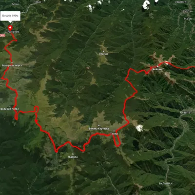
Trails via Mount Apetska
All 2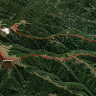
Nearby attractions
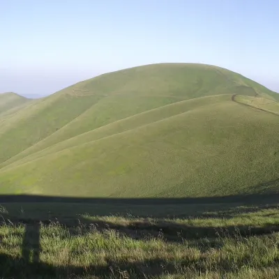 PeakMount TempaUst-Chornaaltitude 1 634 m · Svydovets range10 km from Mount Apetska11 trails to the topTempa is a 1,634-meter peak in the western part of the Svydovets mountain range of the majestic Ukrainian Carpathians, located in the Tyachiv district of Zakarpattia...
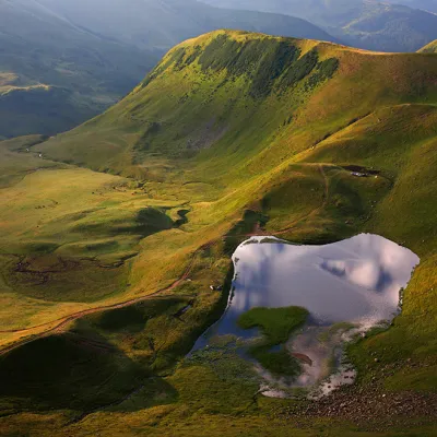 LakeLake Gereshaska (Dogyaska)Yasinya16 km from Mount ApetskaGerashaska (another name - Dogyaska ) is a high-mountain lake in the Ukrainian Carpathians, within the Rakhiv district of Zakarpattia region.
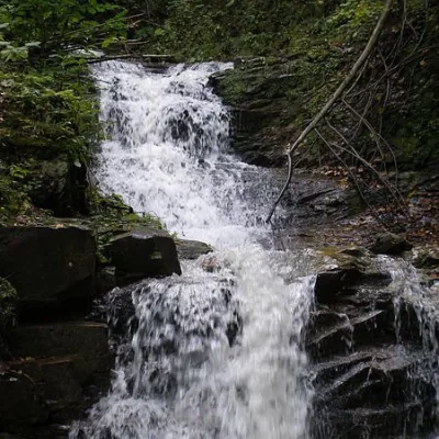 WaterfallNyzhnyi Huk waterfallRoztoky26 km from Mount ApetskaNyzhnyi Huk waterfall is located in the Vyzhnytsia district of Chernivtsi region in western Ukraine. It is located in a picturesque Carpathian landscape and is part of...