Mount Tempe
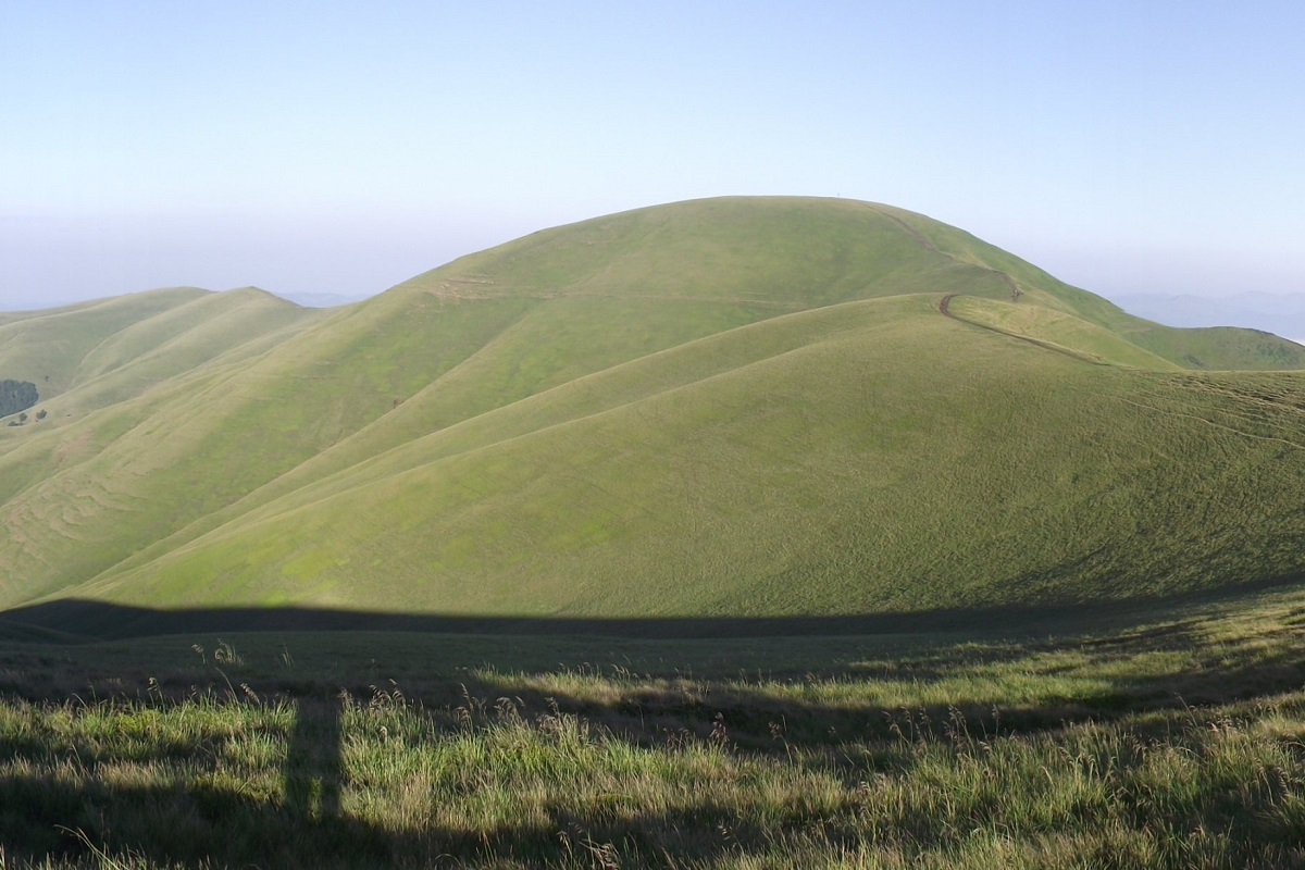
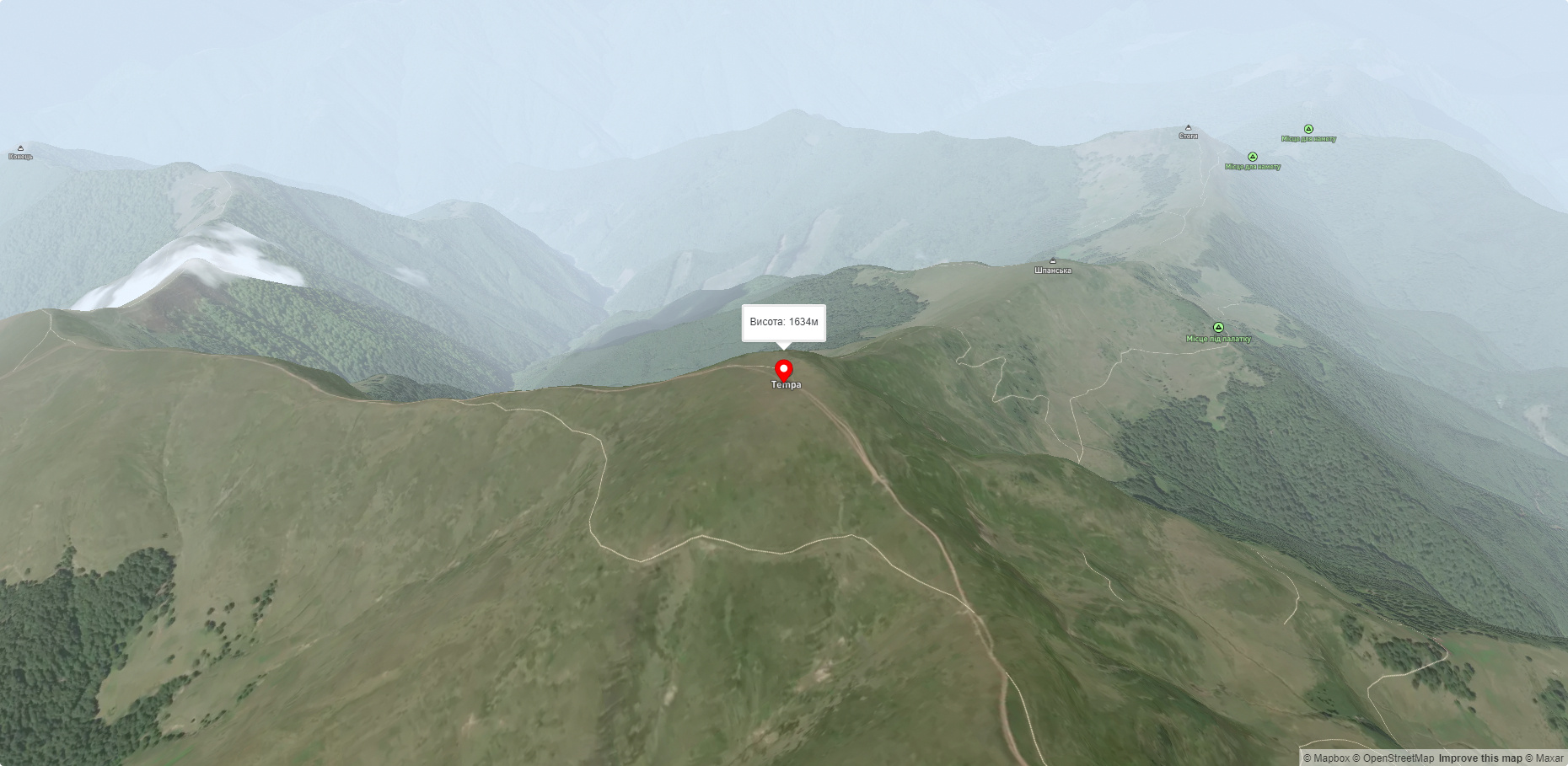
Tempa is a 1,634-meter peak in the western part of the Svydovets mountain range of the majestic Ukrainian Carpathians, located in the Tyachiv district of Zakarpattia region.
The slopes of the mountain are rather gentle; up to 1350-1400 meters they are covered with centuries-old coniferous and beech forests, above this mark - with meadows with abundant blueberry thickets.
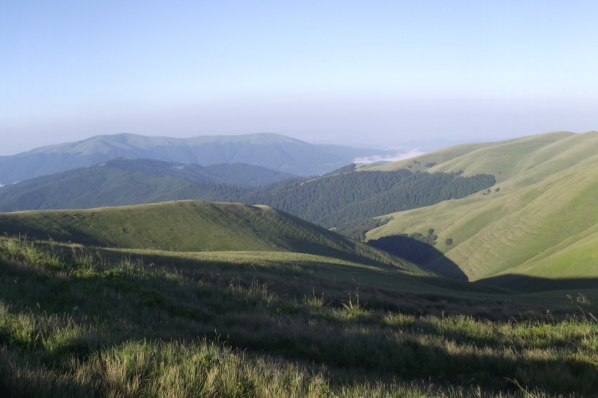
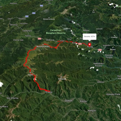
To the east of Tempa is Mount Velyka Kurtyaska, and to the northwest are Mounts Stogi, Pid Stogami, and Shpanska. To the southwest, the Shanta Ridge is adjacent to the peak, and to the northeast, the Bedevlyaska Ridge.
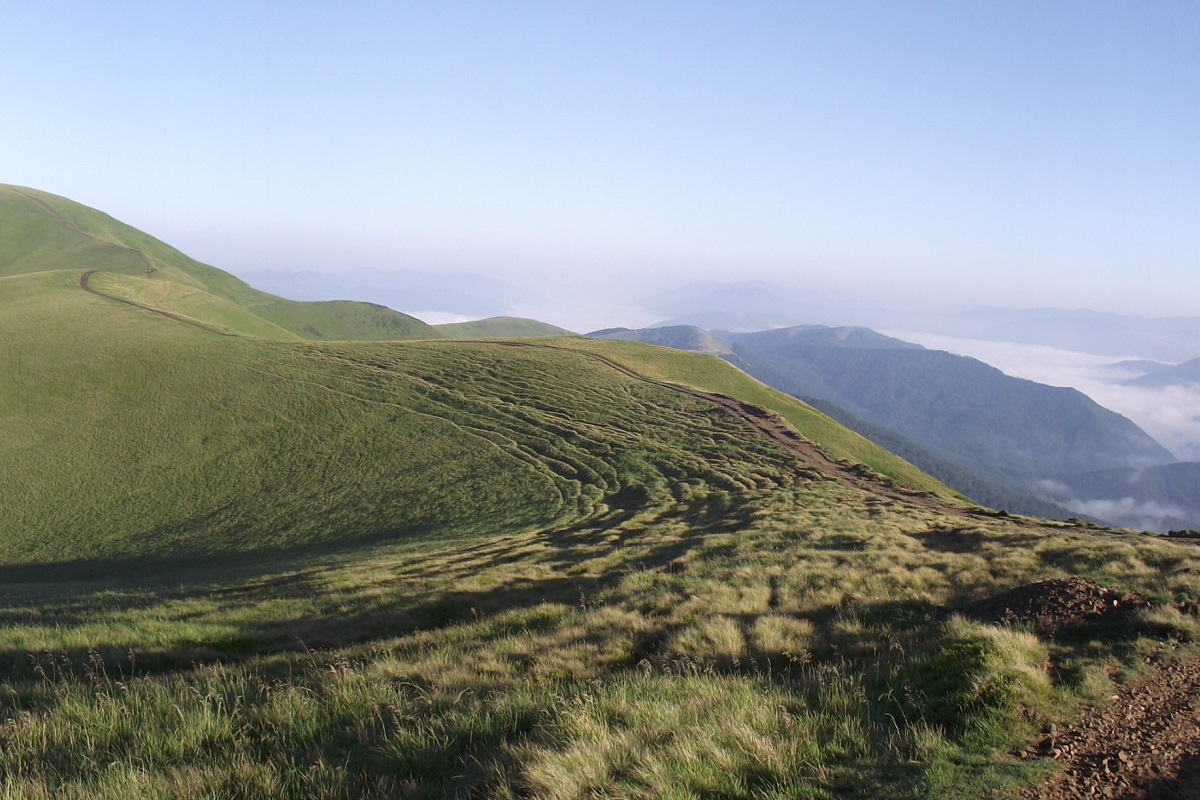
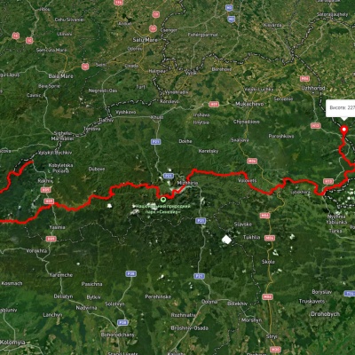
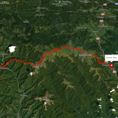
It is worth noting that the popular route "By the Peaks of Svydovets" passes through the top of Mount Tempa, which leads from the village of Ust-Chorna to the village of Yasinia (or in the opposite direction).
The nearest settlements are the village of Ust-Chorna and the village of Krasna in the Tyachiv district of Zakarpattia region.
Accommodation around Mount Tempe:


Nearby hiking trails near Mount Tempe:
Які маршрути проходять повз Mount Tempe?
Пропонуємо пройти такі туристичні (пішохідні) маршрути через/біля Mount Tempe: Закарпатський туристичний шлях, с. Усть-Чорна, через г. Темпа, г. Мала Куртяска, г. Унгаряска, г. Близниця до с. Кваси, с. Красна, через хр. Свидовець до м. Рахів, Драгобрат, через г. Стіг, г. Великий Котел, г. Унгаряска, г. Темпа до с. Красна, с. Колочава, через хр. Красна, с. Усть-Чорна, хр. Свидовець до смт. Ясіня, смт. Ясіня, через г. Петрос, г. Шешул, с. Кваси, г. Бистриця, г. Темпа до с. Красна