Green alder
About
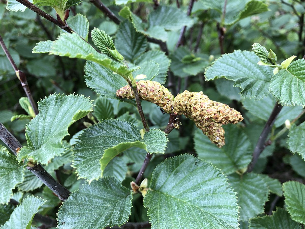
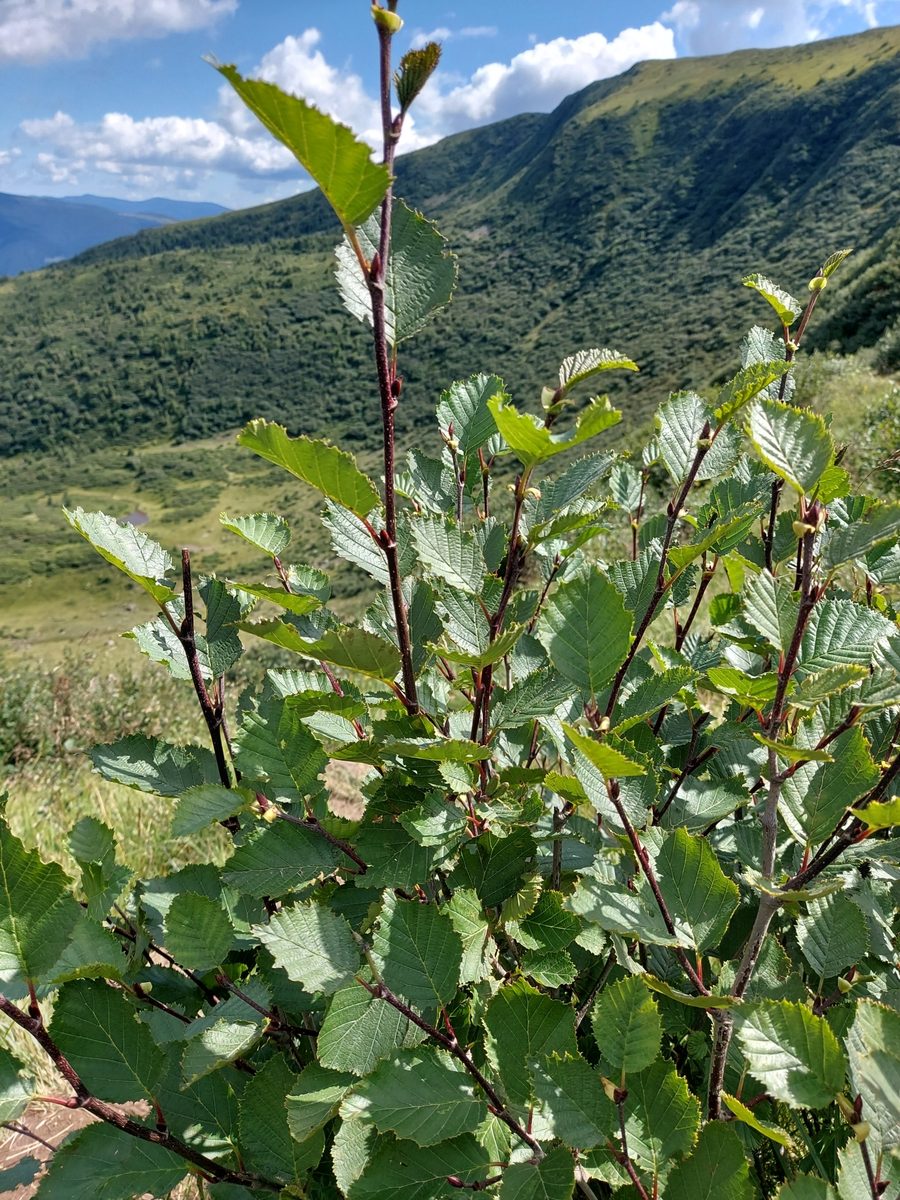
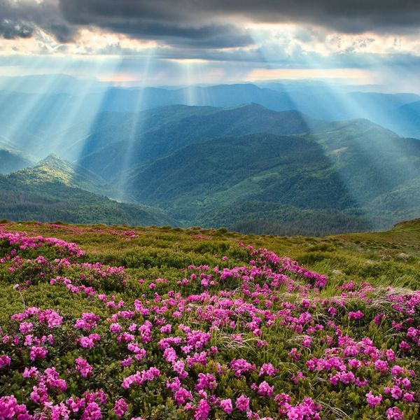
Green alder is a creeping shrub, or stelyukh, 0.5–2 m tall. It is a plant of the subalpine zone of the Carpathians: it grows above the tree line on moist, shady rocky slopes and forms dense thickets — krivolissya. It enters the alpine zone at an altitude of about 1900 m and descends into the mountain forest zone. Overall, green alder is widespread in cold regions of the entire Northern Hemisphere and is even found in the Arctic.
Above the tree line, green alder often neighbors and competes with mountain pine and juniper. These two shrubs seem to have divided the slopes: alder prefers wetter conditions and more often occupies northern, shady slopes and moist hollows, while juniper prefers drier places.
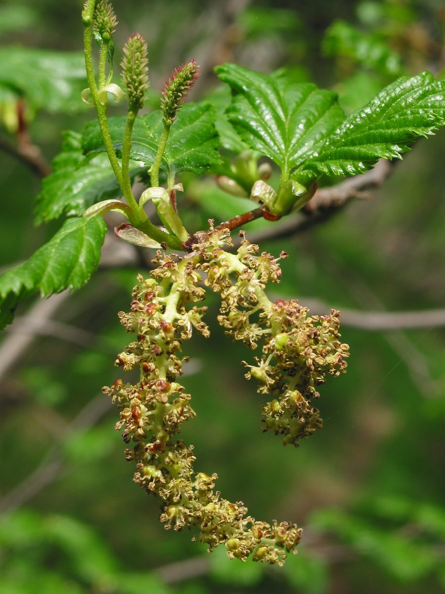
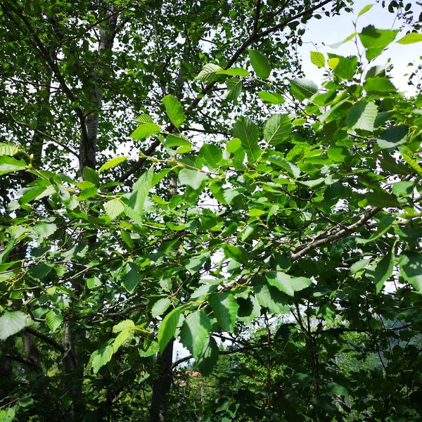
The shoots of green alder are reddish-brown, the leaves are egg-shaped-elliptical, 4–6 cm long, sharply serrated, dark green and glabrous on top. It blooms from April to July. Male catkins are green, elongated, hanging in clusters of 2–3, while the cones are small, up to 1 cm, lighter than those of black alder. The seeds are small flat nuts with wings, resembling birch seeds. Well-developed roots stabilize the soil on steep slopes.
In the Polish Bieszczady, green alder naturally grows only above the upper limit of beech forests and overgrows the polonyna where livestock grazing has ceased. Botanists sometimes classify it into a separate genus Duschekia, but this name has not gained popularity. Green alder is not listed in the Red Book of Ukraine.
Where in the Carpathians

The map shows where naturalists recorded the species (GBIF, CC0 and CC BY records), not every place it lives. The Ukrainian Carpathians are less studied, so a blank area does not mean the species is absent.
- Countries
- Slovakia · Ukraine · Poland · Romania · Czechia
- Mountain ranges
- Bieszczady, Low Tatras, Chornohora, Svydovets, Făgăraș Mountains, Krasna Polonyna, Greater Fatra
- Altitude belts
- Foothills (below 600 m) · Beech forests (600–1200 m) · Conifer forests (1200–1600 m)
When to see it
| Jan | Feb | Mar | Apr | May | Jun | Jul | Aug | Sep | Oct | Nov | Dec | |
|---|---|---|---|---|---|---|---|---|---|---|---|---|
| Fruit |
From naturalists’ observations in the Carpathians (iNaturalist, research grade): the darker the cell, the more often the species is seen that month.
Protection and rules
Not listed in the Red Book of Ukraine.
FAQ
What shrub grows above the tree line in the Carpathians?
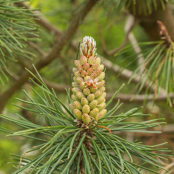
Mostly it is mountain pine (juniper) and green alder. Alder has broad serrated leaves and prefers moist, shady slopes; juniper is coniferous.
Why do polonynas become overgrown with shrubs?
Where livestock grazing has ceased, polonynas are gradually occupied by green alder, juniper, and juniper.
Similar species
Where to meet it
Trails
 ModerateOne-dayDragobrat loopvia Mount Blyznytsia, Mount StihElevation profile1 335–1 883 m10.6 kmascent 742 m≈ 4 h walking
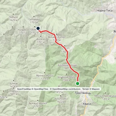 ModerateTwo-dayMarkedBraivka polonyna to Lake Apshynetsvia Mount BlyznytsiaElevation profile1 185–1 883 m16.2 kmascent 1 041 m≈ 6 h walking
 HardMulti-dayDragobrat to Krasna villagevia Mount Stih, Mount Velykyi Kotel +2Elevation profile421–1 762 m35.3 kmascent 871 m≈ 10.5 h walking
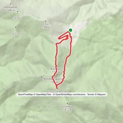 ModerateOne-dayDragobrat loopvia Mount Blyznytsia, Lake IzvorElevation profile1 333–1 883 m8.4 kmascent 634 m≈ 3.5 h walking
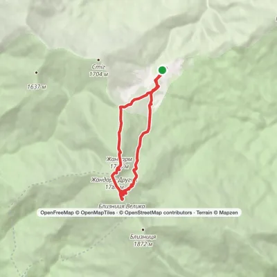 ModerateOne-dayDragobrat loopvia Mount BlyznytsiaElevation profile1 306–1 883 m10.1 kmascent 592 m≈ 3.5 h walking
 HardMulti-dayKrasna village to Rakhivvia Mount Tempa, Mount Troiaska +1Elevation profile428–1 883 m62.5 kmascent 2 932 m
 HardMulti-dayRakhiv to Yasiniavia Mount Blyznytsia, Mount Troiaska +4Elevation profile430–1 883 m67.3 kmascent 3 568 m
 ModerateOne-dayMarkedYasinia to Mount Blyznytsiavia DragobratElevation profile629–1 883 m13.2 kmascent 1 346 m≈ 6 h walking
 ModerateTwo-dayMount Berliaska to Lake Dohiaskavia Mount Unhariaska, Mount TroiaskaElevation profile1 451–1 762 m15.7 kmascent 596 m≈ 5 h walking
 HardMulti-dayChorna Tysa village to Kvasy villagevia Dragobrat, Lake Vorozheska +3Elevation profile631–1 771 m36.6 kmascent 1 728 m≈ 12.5 h walking
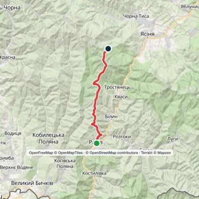 HardMulti-dayRakhiv to Dragobratvia Mount BlyznytsiaElevation profile443–1 883 m29.7 kmascent 1 842 m≈ 11 h walking
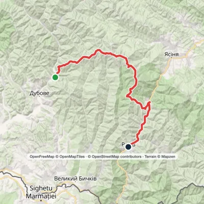 HardMulti-dayKrasna village to Rakhivvia the Svydovets ridgeElevation profile432–1 883 m67.3 kmascent 2 198 m
Peaks and meadows
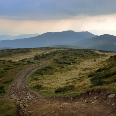 Mountain meadow1 620 mPolonyna SheshulKvasySheshul Polonyna is a treeless grassy ridge on the south-western spur of Petros in the western part of the Chornohora...
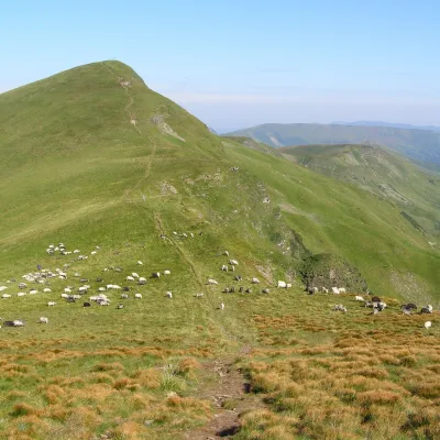 Mountain meadow1 780 mPolonyna BlyznytsiaKvasyBlyznytsia polonyna is the summit pastureland of the highest massif of Svydovets, in the Rakhiv district of Zakarpattia.
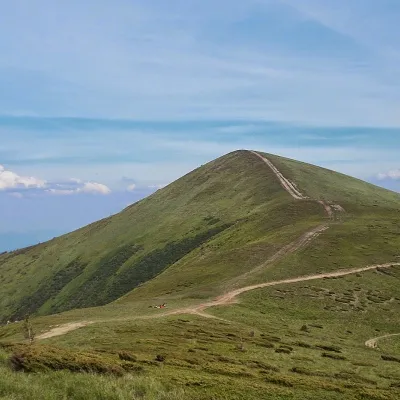 PeakMount Stih (Dragobrat)Yasinyaaltitude 1 704 m · Svydovets range43 trails to the topStih (1704 m; locals say "Stuh") is a peak in the north-eastern part of Svydovets, right above the Drahobrat resort.
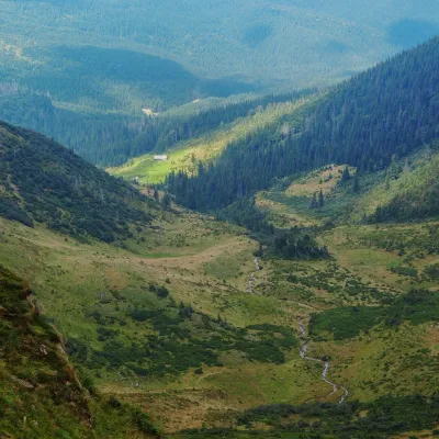 Mountain meadow1 200 mPolonyna ApshynetsChorna TysaApshynets polonyna (Apshyniaska) is a pasture in the upper reaches of the Apshynets stream on the northern slopes of...
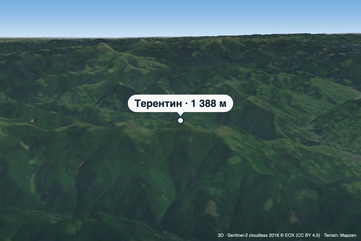 PeakMount TerentynBilynaltitude 1 388 m · Svydovets rangeTerentyn is a 1,388 m summit in the south-western part of the Svydovets range, in the Rakhiv district of Zakarpattia...
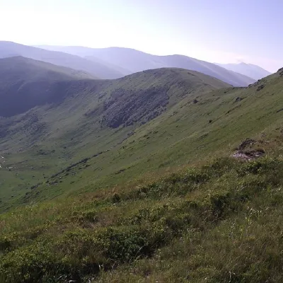 PeakMount UngaryaskaChorna Tysaaltitude 1 707 m · Svydovets range12 trails to the topUngaryaska is the peak of the Ukrainian Carpathians, located in the western part of the Svydovets mountain range.
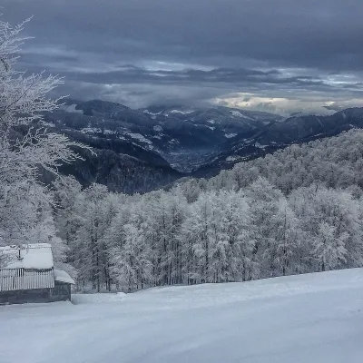 PeakMount SyhlanskyiKolochavaaltitude 1 564 m · Svydovets rangeSyhlanskyi is the highest peak of the Polonyna Krasna massif in the Ukrainian Carpathians.
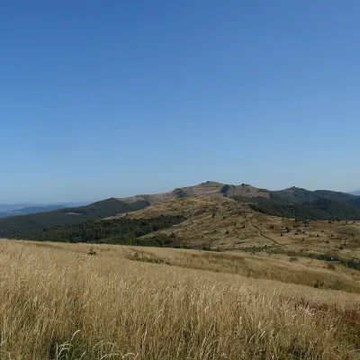 PeakMount Kinchyk BukovskyiVolosiankaaltitude 1 251 mKinchyk Bukovskyi (Polish: Kińczyk Bukowski) is a 1,251 m summit in the Bieszczady, right on the state border between...
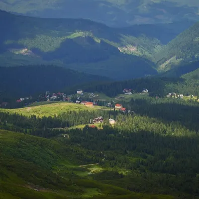 Mountain meadow1 350 mPolonyna DrahobratYasinyaDrahobrat is a high polonyna (mountain pasture) on the northern slopes of the Svydovets massif in the Rakhiv district...
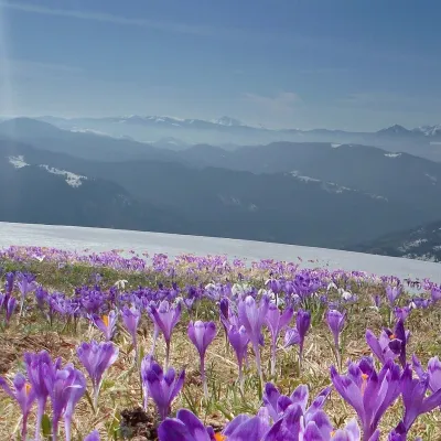 PeakMount Mala BlyznytsiaKvasyaltitude 1 566 m · Svydovets rangeMala Blyznytsia is a 1,566 m summit in the Svydovets range, in the Rakhiv district of Zakarpattia Oblast.
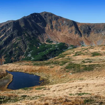 Mountain meadow1 820 mPolonyna BrebeneskaLuhyBrebeneska Polonyna is a high mountain pasture on the south-western, Transcarpathian side of the main Chornohora...
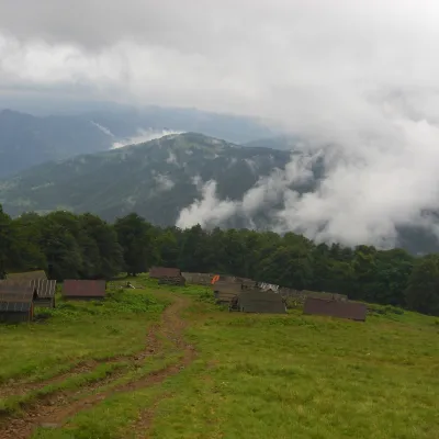 Mountain meadow1 350 mPolonyna BrailkaKvasyPolonyna Brailka (in some sources and on our site also Braivka) is a mountain pasture on the south-eastern slopes of...
Waters and waterfalls
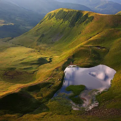 LakeLake Gereshaska (Dogyaska)YasinyaGerashaska (another name - Dogyaska ) is a high-mountain lake in the Ukrainian Carpathians, within the Rakhiv...
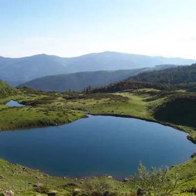 LakeLake VorozheskayaChorna TysaThe real pearl of the Carpathians - Lake Vorozheska (other names - Vorozheska, Triton ) - is a hydrological natural...
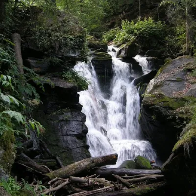 WaterfallVojvodyn waterfallPolianska HutaThe Voyevodyn Waterfall is located on the stream of the same name near the village of Zhdeniyevo in Zakarpattia...
Mountain ranges: Bieszczady, Chornohora, Svydovets, Krasna Polonyna. In other countries: 🇸🇰 Low Tatras, 🇷🇴 Făgăraș Mountains, 🇸🇰 Greater Fatra
Trails and peaks near which naturalists recorded the species (GBIF, iNaturalist), matched by altitude and habitat. Sightings are not guaranteed.
Sources
- Вікіпедія: Вільха зелена
- Wikipedia (en): Alnus alnobetula
- Wikipedia (pl): Olsza zielona
- Перелік видів рослин та грибів, що заносяться до Червоної книги України (наказ Міндовкілля від 15.02.2021 № 111, z0370-21)
- GBIF: Червона книга України — рослини й гриби (набір даних)
- GBIF: таксон і категорія МСОП
GBIF · iNaturalist · Wikidata · Distribution data: GBIF.org (CC0 and CC BY records), iNaturalist; names and identifiers: Wikidata (CC0). Text: Karpaty.rocks, checked 09.11.2026.
