Polonyna Brebeneska
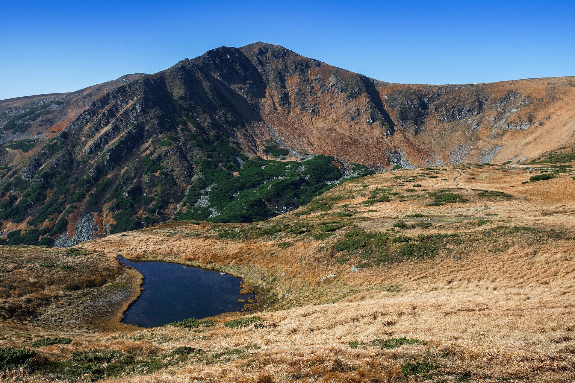
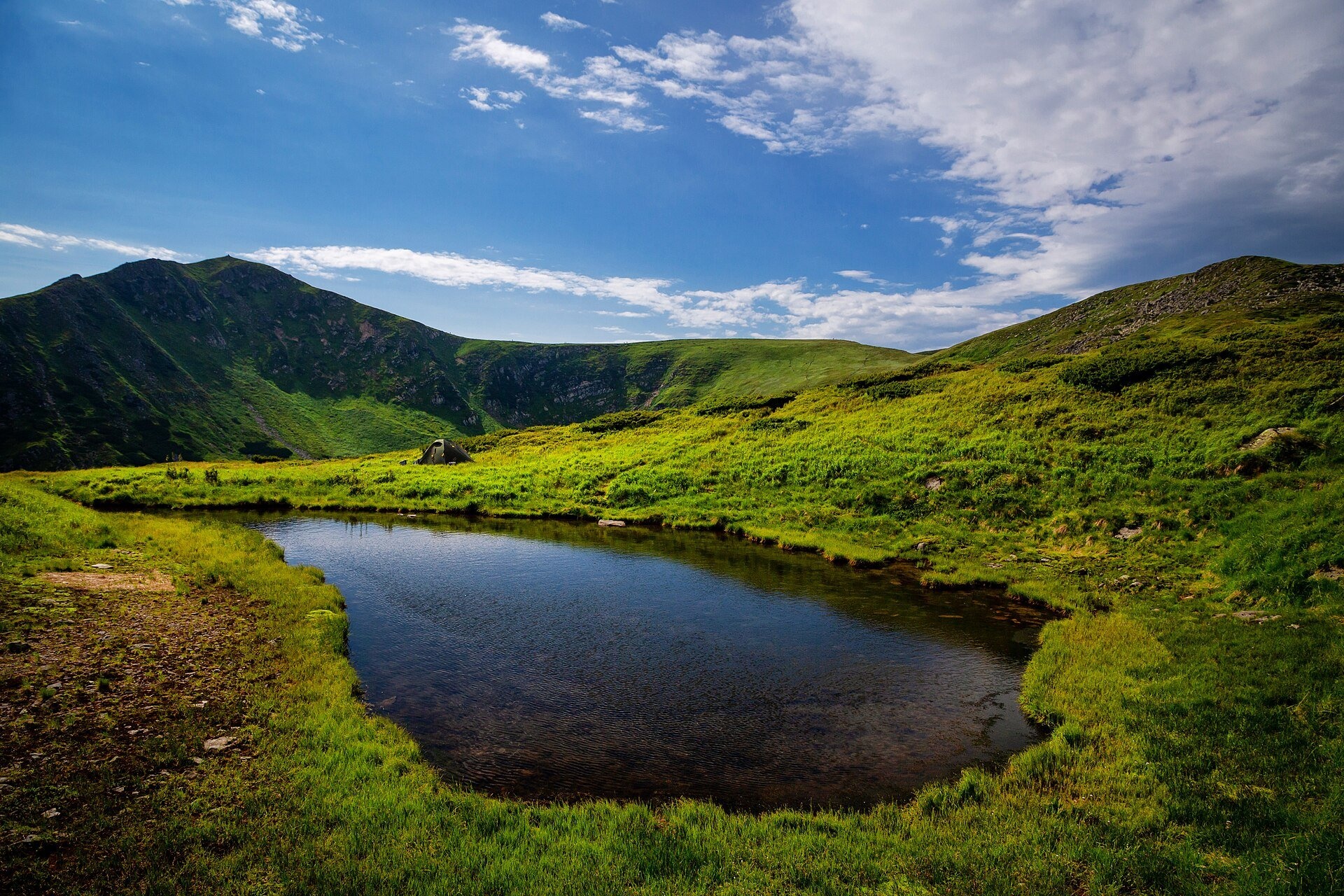
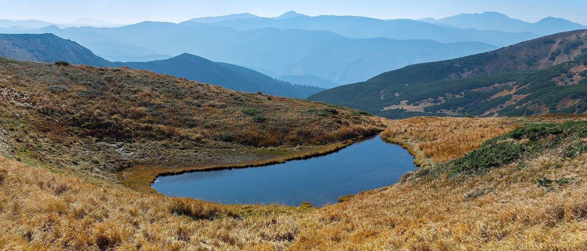
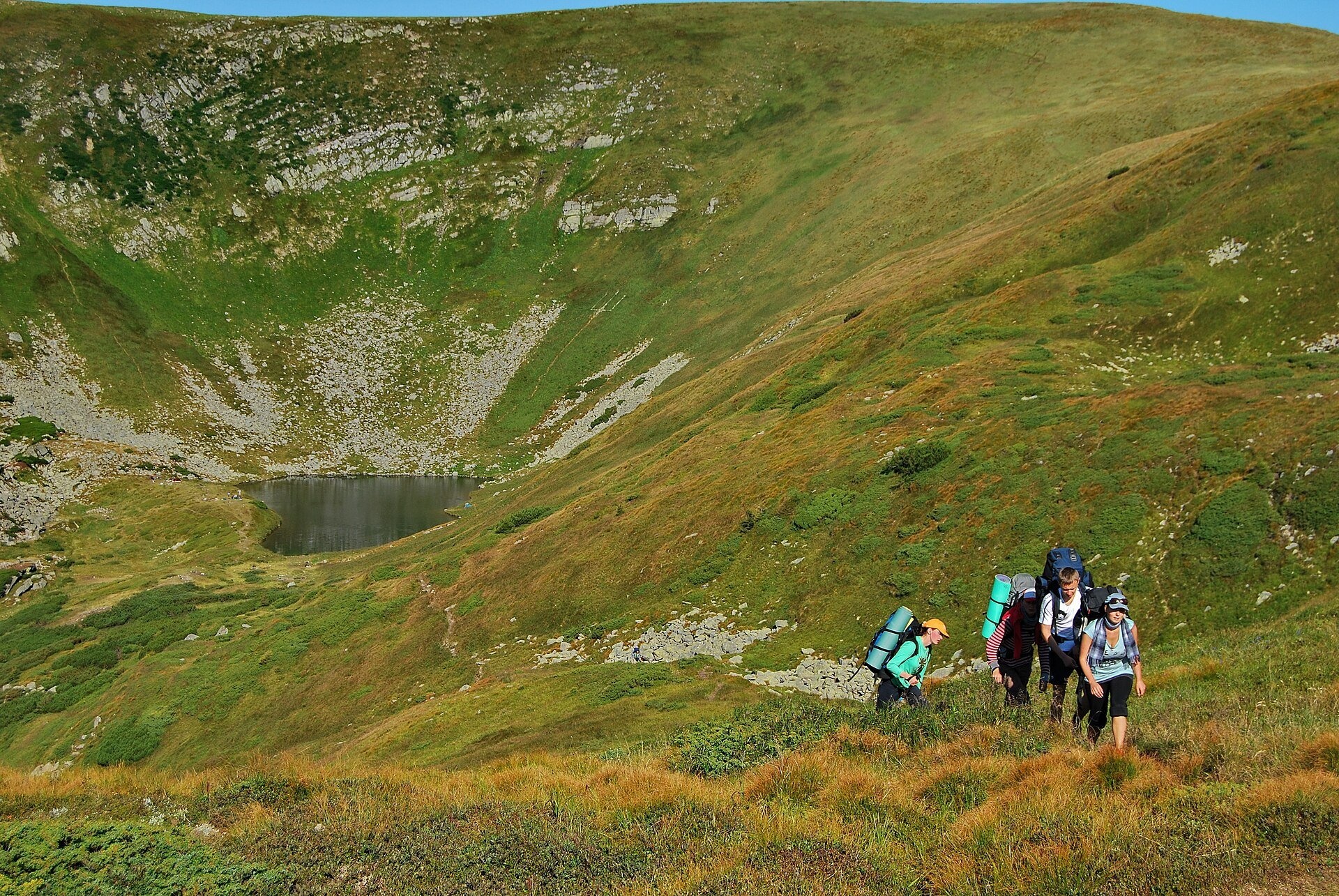
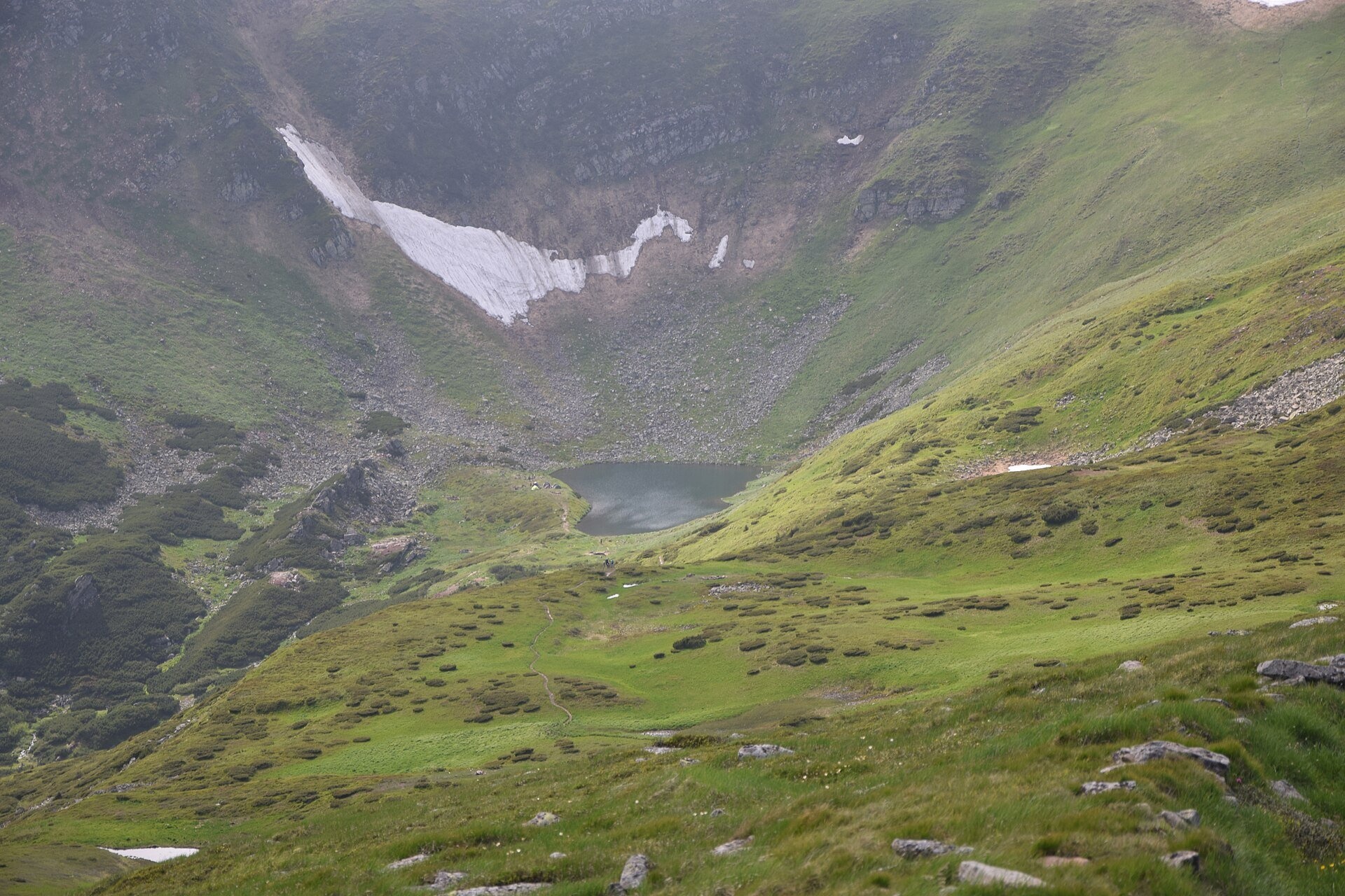
Brebeneska Polonyna is a high mountain pasture on the south-western, Transcarpathian side of the main Chornohora ridge, between the peaks of Brebeneskul (2,035 m) and Hutyn Tomnatyk (2,016 m). It lies at about 1,800–1,830 m in the Rakhiv district of Zakarpattia Oblast, in the upper part of a glacial cirque at the bottom of which shines Lake Brebeneskul — the highest lake in Ukraine. The whole area is part of the Chornohora protected massif of the Carpathian Biosphere Reserve.
The name "Brebeneska Polonyna" is used mainly on maps and in photo captions; hikers more often simply say "near Brebeneskul". People come here for the wild alpine scenery: the stony walls of the cirque, a small tarn on the pasture itself, the blue eye of the lake below and a panorama of the southern ranges of the Carpathians.
What you will see
The polonyna is an undulating grassy terrace above the lake. A small tarn lies on it, and in calm weather it mirrors the slopes of Hutyn Tomnatyk. From here you can see the whole cirque bowl with Lake Brebeneskul, the steep crest of Brebeneskul and Rebra, and to the south the distant mountains of Zakarpattia. All around are subalpine meadows, boulder fields and thickets of mountain pine and juniper. Rhododendron occurs in the alpine belt of Chornohora, and the massif is famous for its rare plants: about 30 species listed in the Red Book of Ukraine grow here.
In summer the slopes are green; in late August and September the grass turns golden-russet. Snow patches in the cirque often last until late May and in some years into June. We found no data on present-day grazing on this particular polonyna: it lies in a strictly protected zone, and hikers usually meet a shepherds' hut with a cheese dairy lower down — on the routes from the Rakhiv side via Lemska Polonyna.
History and legends
The main Chornohora ridge has long been a watershed and a boundary between Galicia and Transcarpathia. The name of the lake and the neighbouring peak is explained in different ways: from a Romanian word meaning periwinkle, or from the Hutsul "berbenytsia", a wooden vessel. Locals call the lake the "Blue Eye of the Carpathians". The first scientific survey of the lake was made in 1964; at that time it still had a surface outflow. Today the water seeps through the rocky threshold on the east and gives rise to the Brebeneskul stream, which belongs to the Tysa basin.
Routes
Brebeneska Polonyna is a place for experienced hikers only: there is no easy access by vehicle and no short walk here. All approaches are long, with a lot of ascent, and partly unmarked.
- From the main ridge: red marking runs along the Chornohora ridge; from the saddle between Brebeneskul and Hutyn Tomnatyk a short but steep descent leads to the polonyna and the lake. Our site has the track Pip Ivan Chornohirskyi — Lake Brebeneskul (8.5 km) and the route Vesnarka Polonyna — Pip Ivan — Dzembronia peak — Lake Brebeneskul (13.2 km).
- From the Zaroslyak tourist base: via Lake Nesamovyte and Rebra — our route Zaroslyak — Nesamovyte — Rebra — Lake Brebeneskul — Luhy (27.7 km, partly unmarked).
- From Bystrets: a one-day hike via Hadzhyna and Shpytsi to the lake and back — about 20 km and 10–12 hours of walking.
- From the Transcarpathian side: from the village of Luhy by a long climb up the valley, or from Rakhiv via Bohdan and Lemska Polonyna.
- The multi-day Chornohora traverse from Dzembronia to Kvasy (or the other way round, 3–5 days) passes very close by.
Getting there
The most popular starting points are the Zaroslyak tourist base (road from Vorokhta), Bystrets and Dzembronia on the Ivano-Frankivsk side, or Luhy and Bohdan near Rakhiv on the Transcarpathian side. Trains run to Vorokhta, Yasinia and Rakhiv, followed by buses, minibuses or taxis. From any starting point the polonyna is a full day's walk.
When to go and weather
The best time is from July to mid-September. Until late May or June there is snow in the cirque. Weather on the ridge changes very quickly: thunderstorms, fog and strong wind are common in summer. The sun disappears behind the ridge early, so evenings by the lake cool down fast and nights are cold even in July. In winter this is avalanche-prone high mountain terrain — for experienced mountaineers only.
Water, shelters and overnight
Drinking lake water is not advised: it may cause stomach upset. There are springs below Brebeneskul and Hutyn Tomnatyk — for example, the spring below Mount Brebeneskul and the spring below Hutyn Tomnatyk. Swimming in the lake is not a good idea: the water does not warm above 15 °C and can cause cramps. The nearest shelter is the shelter below Mount Menchul, about one and a half kilometres away. People often pitch tents by the lake, but this is a reserve with fragile nature: check the visiting rules of the Carpathian Biosphere Reserve, do not make fires from mountain pine and take all your rubbish with you.
Safety
- Border regime. In 2024 the State Border Guard Service temporarily restricted access to a number of Chornohora peaks, including Brebeneskul. Before your hike, check the current rules and the permit procedure with the border guards, carry your passport, and men should carry their military registration documents.
- A pass may be required to visit the reserve — check with the administration of the Carpathian Biosphere Reserve.
- On open high ground in a thunderstorm, get off the ridges as quickly as possible.
- The descents into the cirque are steep and rocky and slippery after rain; in fog stick to your track.
- Bring warm clothes, a rain jacket and spare food: the nearest village is several hours' walk away.
- In an emergency call 112 or 103; the mountain search and rescue service of the State Emergency Service (DSNS) works around the clock.
What visitors say
- The views are called incredible, and the hard way up is considered well worth it.
- On a sunny day the lake water looks deep blue or emerald — hence the "Blue Eye of the Carpathians".
- Snow often lingers in the cirque until the end of spring, so in May and early June take warm clothes and be ready for snowfields.
- In the evening it gets cold by the lake quickly: a good sleeping bag is a must.
- Hikers complain about litter and fire pits by the lake and urge everyone to carry their rubbish out.
- A day hike from Bystrets to the lake and back takes 10–12 hours — plan your strength accordingly.
Polonynas and peaks around
- Lake Brebeneskul (1,801 m) — the highest lake in Ukraine, right below the polonyna.
- Mount Brebeneskul (2,035 m) and Hutyn Tomnatyk (2,016 m) — the peaks above the cirque.
- Mount Rebra (2,001 m) and Mount Menchul (1,998 m) — neighbours on the main ridge.
- Pip Ivan Chornohirskyi (2,028 m) with the "White Elephant" observatory.
- Lake Nesamovyte — another glacial lake of Chornohora.
- Hadzhyna Polonyna and Maryshevska Polonyna — on the routes from Bystrets.
- Smotrych Polonyna — above Dzembronia, at the other end of the ridge.
Photos: Nata Mostova, CC BY-SA 4.0, Wikimedia Commons; Zysko serhii, CC BY-SA 4.0, Wikimedia Commons; Valentin Lupul, CC BY 3.0, Wikimedia Commons; Haidamac, CC BY-SA 4.0, Wikimedia Commons.
Video 2
 Озеро Бребенескул - найвисокогірніше озеро України 1801мВікторія Царенко

Location on the map
Water and shelter nearby
- Spring below Mount Hutyn Tomnatyk (4)590 m · Not verified · 1 797 m
- Spring below Mount Brebeneskul610 m · Not verified · 1 921 m
- Spring below Mount Hutyn Tomnatyk730 m · Has water · 1 791 m
- Spring below Mount Hutyn Tomnatyk (3)850 m · Not verified · 1 881 m
- Spring below Mount Hutyn Tomnatyk (2)920 m · Not verified · 1 918 m
- Spring below Mount Brebeneskul (3)950 m · Not verified · 1 946 m
- Spring below Mount Brebeneskul (2)970 m · Not verified · 1 908 m
- Spring below Mount Brebeneskul (4)1.3 km · Not verified · 1 906 m
- Spring below Mount Menchul1.5 km · Weak flow · 1 905 m
- Spring on Polonyna Hadzhyna (2)2.4 km · Not verified · 1 629 m
- Spring on Polonyna Hadzhyna2.5 km · Not verified · 1 646 m
- Spring below Mount Menchul (2)2.7 km · Not verified · 1 827 m
- Dovbush's Well2.8 km · Not verified · 1 315 m
- Spring (Luhy, 13)3 km · Not verified · 1 421 m
Comments
Places to stay nearby
All stays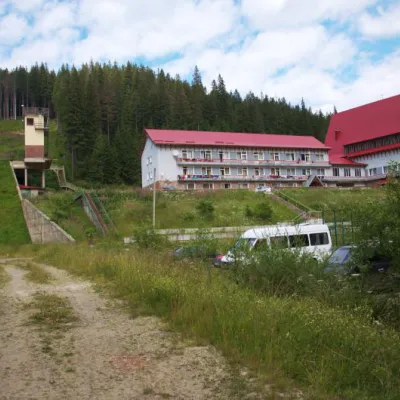 HotelTraining and Sports Base "Zaroslyak" at HoverlaVorokhta7.7 km from Polonyna BrebeneskaPoolSaunaParkingNearby: Polonyna Pozhizhevska 1.2 kmMt Hoverla 2.8 km32 trails
 HotelHotel-Restaurant "Bukov'yan"Kryvopillia14 km from Polonyna BrebeneskaHotel-Restaurant "Bukov'yan" offers a cozy getaway in the Carpathians, far from the hustle and bustle of the city.Nearby: Kryvopillia Pass 800 mPolonyna Dil 2.4 km6 trails
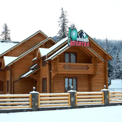 HotelHotel "Desyatka" Vorokhta (near Hoverlyansky Checkpoint)Vorokhta12 km from Polonyna BrebeneskaPoolSaunaBreakfastNearby: Mt Kukul 3.6 kmPolonyna Kukul 4.0 km5 trails
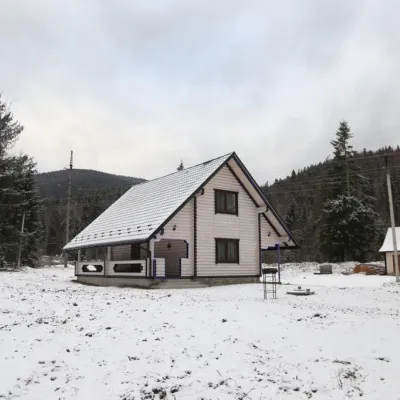 HomesteadHomestead "SWEET HOME" Vorokhta (Tenth Kilometer)Vorokhta12 km from Polonyna BrebeneskaSaunaBBQKitchenNearby: Mt Kukul 3.7 kmPolonyna Kukul 4.1 km5 trails
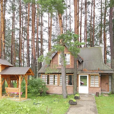 HomesteadHomestead "Sosnovyi Dvir" Vorokhta (Tenth Kilometer)Vorokhta12 km from Polonyna BrebeneskaSaunaBBQKitchenNearby: Mt Kukul 3.7 kmPolonyna Kukul 4.1 km5 trails
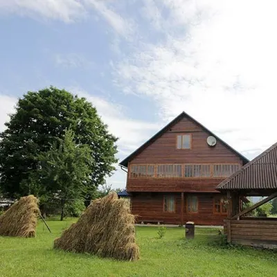 HomesteadHomestead "PID YAVOROM" Vorokhta (Tenth Kilometer)Vorokhta12 km from Polonyna BrebeneskaSaunaBBQKitchenNearby: Mt Kukul 3.7 kmPolonyna Kukul 4.1 km5 trails
Trails nearby
All trails EasyOne-dayUnmarkedMount Pip Ivan Chornohirskyi Lake BrebeneskulElevation profile1 782–1 999 m8.5 kmascent 278 m≈ 2.5 h walkingunder 1 km from Polonyna Brebeneska
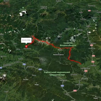 HardMulti-dayUnmarkedLazeshchyna village to Dzembronia villagevia Mount Petros, Mount Hoverla +2Elevation profile735–2 034 m51.4 kmascent 3 007 munder 1 km from Polonyna Brebeneska
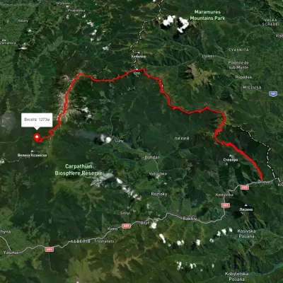 HardMulti-dayUnmarkedDilove village to Zaroslyak basevia Mount Pip Ivan Marmaroskyi, Mount Pip Ivan Chornohirskyi +1Elevation profile358–2 008 m75.1 kmascent 4 023 munder 1 km from Polonyna Brebeneska
Nearby attractions
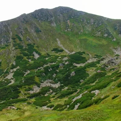 PeakMount BrebeneskulBystretsaltitude 2 035 m · Chornohora rangeunder 1 km from Polonyna Brebeneska71 trails to the topMount Brebeneskul is the second highest peak in the Ukrainian Carpathians after Hoverla (2061 m), located in the middle of the Chornohora ridge on the border of two...
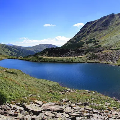 LakeLake BrebeneskulLuhyunder 1 km from Polonyna BrebeneskaBrebeneskul is the highest mountain lake in the Ukrainian Carpathians (1801 m above sea level), a hydrological natural monument of local importance (registered as Lake...
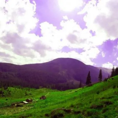 Mountain meadowPolonyna GadzhinaBystretsChornohora range2.3 km from Polonyna BrebeneskaIt seemed that the Chornohora massif was literally crowded with people, but sometimes you can come across places that either locals or tourists who have eaten the dog...
Craft nearby
All craft places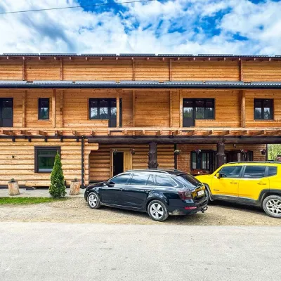 Koliby & Hutsul cuisineZRUB Ethno Restaurant, IltsiIltsi15 km from Polonyna BrebeneskaZRUB Ethno Restaurant is a new log-built home of Hutsul cooking in the village of Iltsi, on the edge of Verkhovyna, the town often called the Hutsul capital.
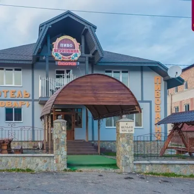 Craft beer & breweriesVerkhovyna Brewery at the Pyvovar Motel, VerkhovynaVerkhovyna18 km from Polonyna BrebeneskaVerkhovyna Brewery operates at the Pyvovar motel on the approach to Verkhovyna, the Hutsul capital of the Carpathians.
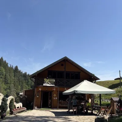 Craft shopsKopalnia Bryndzy cheese shop and tasting, VerkhovynaVerkhovyna19 km from Polonyna BrebeneskaKopalnia Bryndzy (“The Brynza Mine”) is a small farm cheese shop with a tasting room on the edge of Verkhovyna, in the valley of the Zhabievskyi stream.
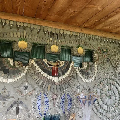 Ethno parks & homesteadsTsikava Sadyba Art and Ethno Homestead, VerkhovynaVerkhovyna20 km from Polonyna BrebeneskaTsikava Sadyba («The Curious Estate») is a private art homestead in the very centre of Verkhovyna that local housewife and artist Oksana Susiak has been shaping since...
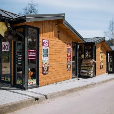 Markets & fairsTorhovyshche Souvenir Market, VerkhovynaVerkhovyna21 km from Polonyna BrebeneskaTorhovyshche is a modern souvenir market right in the centre of Verkhovyna, the capital of the mountain Hutsul region.
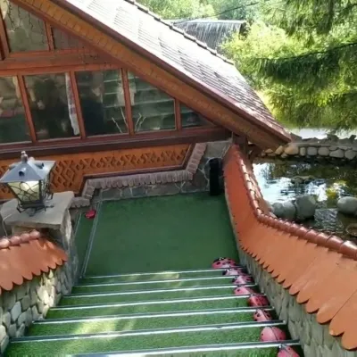 Koliby & Hutsul cuisineStara Vorokhta Restaurant, VorokhtaVorokhta21 km from Polonyna BrebeneskaStara Vorokhta restaurant ("Old Vorokhta") is one of the best-known places for Hutsul food in Vorokhta: on Google Maps it is rated 4.6 from more than 6,300 reviews, a...
