Mount Kinchyk Bukovskyi
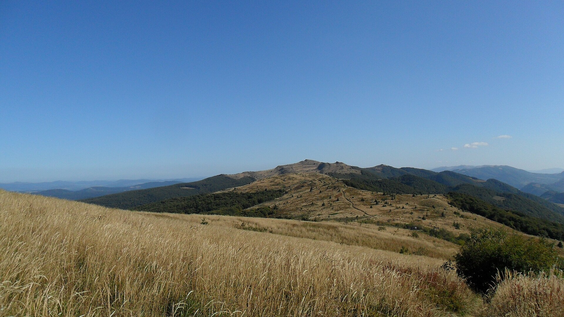
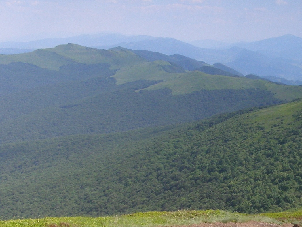
Kinchyk Bukovskyi (Polish: Kińczyk Bukowski) is a 1,251 m summit in the Bieszczady, right on the state border between Ukraine and Poland. It is the highest summit of the Bukovska Polonyna in the Border Range, which on the Polish side forms the southern boundary of Bieszczady National Park. On the Ukrainian side the upper Uzh valley lies below; the nearest villages in our catalogue are Volosianka (about 5.8 km), Binova (about 6.1 km), Lubnia (about 6.5 km) and Uzhok (about 6.7 km).
Nearby, about 1 km to the south, rises Stinska (1,212 m), and 1.6 km to the south-east Rozsypanets (1,146 m). The summit carries Polish and Ukrainian border posts No. 173, and remains of First World War trenches survive. The top is open and offers a wide all-round panorama.
How to get there
We do not have a route to Kinchyk Bukovskyi on our site yet. The nearest path in our catalogue is the Transcarpathian Tourist Trail, which passes about 2.2 km away. On the Ukrainian side a border path leads from the Uzhok Pass over Opolonek on to the Bukovska pass. However, the summit lies in the border zone: from Ukraine you may go there only with the consent of the border guards, and from Poland it is closed altogether, as the national park protects it strictly.
Water, shelter and safety
Our map shows no water near the summit: the nearest marked water points are streams above Volosianka and Lubnia, about 3.2 km to the south and south-west and far lower, at 680–700 m. There is no shelter nearby either. Arrange your hike with the border guards in advance, carry your passport, do not cross the border line and respect the border signs. The nearest summit with our 7-day forecast is Parashka, about 44 km away: weather on Parashka. In an emergency call 112 or 101 — contacts of the nearest units are on our mountain rescue page.
Interesting facts
- In Polish geographical classification Kinchyk Bukovskyi belongs to the Western Bieszczady.
- The summit is regarded as one of the finest viewpoints of the border ridge.
Photos: Marcin Gacek, CC BY-SA 4.0; Henryk Bielamowicz, CC BY-SA 4.0 — Wikimedia Commons.
Location on the map
Comments
Places to stay nearby
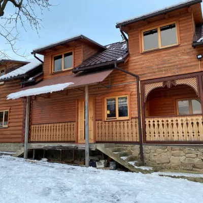 HomesteadVilla Uzh6.7 km from Mount Kinchyk BukovskyiThe cottage "Villa Uzh" is located amidst picturesque mountains in the village of Uzhok, 5 km from the Volosyanka-Zakarpatska railway station.Nearby: Church of St. Michael 500 m3 trails
 HomesteadHomestead "U Dyadi Vani" Vyshka13 km from Mount Kinchyk BukovskyiPoolSaunaBBQ
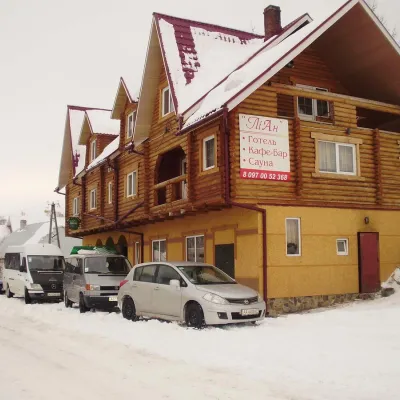 HotelHotel-Restaurant "LiAn" Mykulychyn5.7 km from Mount Kinchyk BukovskyiSaunaTransferNearby: Church of St. Michael 1.5 km2 trails
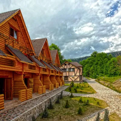 HotelHealth Complex "Uzhansky Kupeli" Uzhok6.7 km from Mount Kinchyk BukovskyiHot tubPoolSaunaNearby: Church of St. Michael 1.2 km6 trails
 HotelTOP Resort&Spa Vyshka (2.7 km to the Krasia lift)13 km from Mount Kinchyk BukovskyiPoolSaunaSPA
 HomesteadHomestead "U Povara" Vyshka (1 km to the Krasiya ski lift)13 km from Mount Kinchyk BukovskyiSaunaBBQParking
Trails nearby
 HardMulti-dayMarkedTranscarpathian Tourist TrailElevation profile198–2 031 m393.2 kmascent 30 283 m2.2 km from Mount Kinchyk Bukovskyi
 ModerateOne-dayUnmarkedStavne village to Luh villagevia Mount BertseElevation profile383–1 015 m10.1 kmascent 698 m≈ 4 h walking6.5 km from Mount Kinchyk Bukovskyi
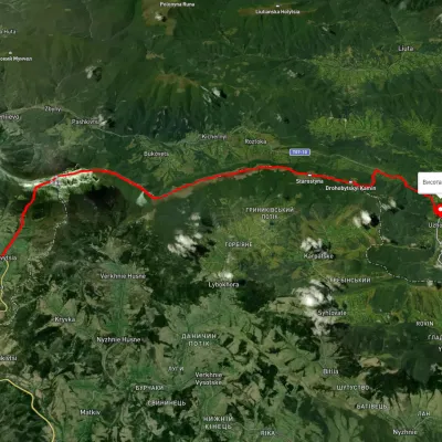 HardMulti-dayUnmarkedUzhok village to Bilasovytsia villagevia Husnyi village, Mount Drohobytskyi Kamin +2Elevation profile543–1 334 m30.3 kmascent 1 335 m≈ 10 h walking7.1 km from Mount Kinchyk Bukovskyi
Nearby attractions
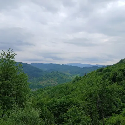 PeakMount Opolonekaltitude 1 028 m4.6 km from Mount Kinchyk BukovskyiOpolonek (also Opolonyk) is a 1,028 m mountain in the Bieszczady, part of the Eastern Beskids. The summit lies right on the state border between Ukraine and Poland;...
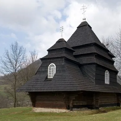 ChurchChurch of St. Michael, Uzhok6.6 km from Mount Kinchyk BukovskyiOne of the most striking sights of the Carpathians is undoubtedly the wooden church of the Holy Archangel Michael, located in the village of Uzhok, Velykyi Bereznyi...
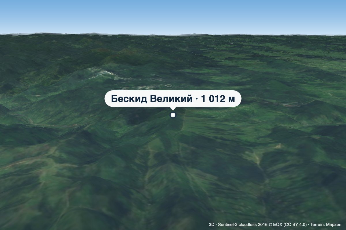 PeakMount Beskyd Velykyialtitude 1 012 m · Watershed Ridge range8.4 km from Mount Kinchyk BukovskyiBeskyd Velykyi is a 1,012 m summit on the border of Lviv and Zakarpattia oblasts. It is the first rise of the Vododilnyi (Verkhovyna Watershed) Ridge counting from the...