Liuta (monastery) – Luh
Trail map
Route, springs and shelters: © OpenStreetMap contributors (ODbL) · elevation: Copernicus DEM © DLR e.V., © Airbus DS · Data & licences
Where to stay nearby
About the trail
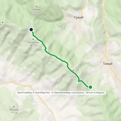
Route Liuta (monastery) – Luh. Has yellow marking (local route, Značené trasy). Waymarking data: OpenStreetMap (© OpenStreetMap contributors, ODbL).
Officially marked local tourist route. The marking is yellow, the sign is a horizontal stripe on a white background. Marked and maintained by: Značené trasy. Length of the route — 3.4 km. Location: mountain range — Polonynskyi Ridge, Zakarpattia region.
At a glance
A short route of 3.4 km with 12 m of ascent and 416 m of descent from Liuta (monastery) to Luh. Estimated walking time: about 1 h, not counting stops. Difficulty: easy. Waymarking: yellow.
Route stages
- 0–2.5 kmDescent of 380 m (down to 474 m)
- 2.5–3.5 kmGentle ups and downs at 440–480 m
Steepest kilometre: km 0–1, a descent of 170 m (≈17%).
Water and overnight stays
A spring near the trail: at km 1.
Places to stay near the start and finish: Vyshka.
When to go
The route can be walked most of the year; it is most comfortable from April to October.
Getting there
Start: Liuta (monastery). Most places to stay near the start are in Vyshka. This is a one-way route: the finish is 2 km from the start in a straight line, so plan your way back in advance.
FAQ
- How long does the route take?
- Estimated walking time: about 1 h, not counting stops.
- Is there water on the route?
- A spring near the trail: at km 1.
- Where can I stay overnight?
- Places to stay near the start and finish: Vyshka.
Water and shelter on the route
- Spring (Volosianka)km 1.1 from the start · Not verified · 678 m
Before you go, check the border-regime restrictions: Border Guard permit for mountain hikes (in Ukrainian)
Comments
Trails nearby
All trails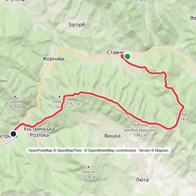 HardTwo-dayStavne village to Kostryno villagevia Mount Bertse, Mount VezhaElevation profile292–1 048 m22.3 kmascent 1 107 m≈ 8 h walking
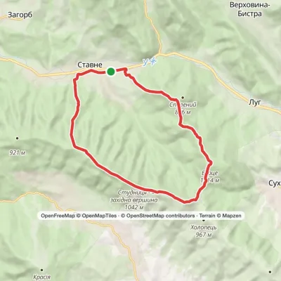 ModerateTwo-dayStavne village loopvia Mount Studnytsia, Mount SpalenyiElevation profile382–1 050 m17.6 kmascent 960 m≈ 6.5 h walking
 EasyOne-dayMarkedLiuta (monastery) PrylukyElevation profile733–955 m5.7 kmascent 283 m≈ 2 h walking
Craft nearby
All craft places Eco farmsCsiga-Biga “Merry Stable” Farm, Velykyi BereznyiVelykyi Bereznyi24 km from the trailVesela Stainia Csiga-Biga (“The Merry Stable”) is a small family farm in the town of Velykyi Bereznyi in the Uzh valley.
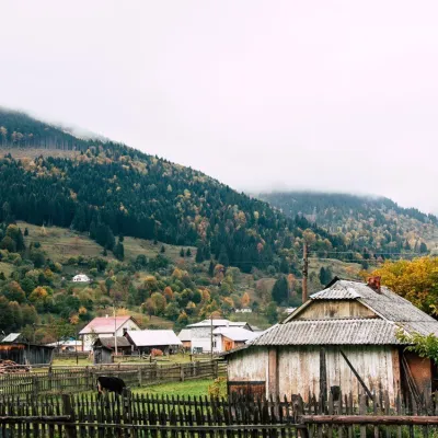 Cheese dairies & pasturesBilasovytsi Cheese Dairy, BilasovytsiaBilasovytsia27 km from the trailBilasovytsi Cheese Dairy is a small family dairy in the Transcarpathian village of Bilasovytsia, set at about 600 metres above sea level at the foot of Mount Pikui.
 Honey & meaderiesTurianskyi Med Apiary, Turia RemetaTuri Remety30 km from the trailTurianskyi Med («Turia Honey») is the family apiary of Myroslava and Viktor Minkovych in Turia Remeta, a picturesque village in the Turia river valley near Perechyn.
 Cheese dairies & pasturesTurianskyi Dvir Estate Cheese Dairy, Turia PolianaTurya Polyana32 km from the trailTurianskyi Dvir is a private country estate on the shore of a mountain lake in the village of Turia Poliana in the Perechyn area, about 50 kilometres from Uzhhorod.
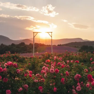 Eco farmsLavandova Hora lavender farm, PerechynPerechyn32 km from the trailLavandova Hora (“Lavender Hill”) is a family farm on the edge of Perechyn that in just a few years has turned an ordinary hill above the town into one of the most...
 Craft producersKarpaty Nasolodzhuisia juices & jams, PerechynPerechyn34 km from the trail“Karpaty Nasolodzhuisia” (Carpathians, Enjoy) is a brand of the company Dzherela Karpat from Perechyn, a small town in the Uzh valley.
