Mount Opolonek
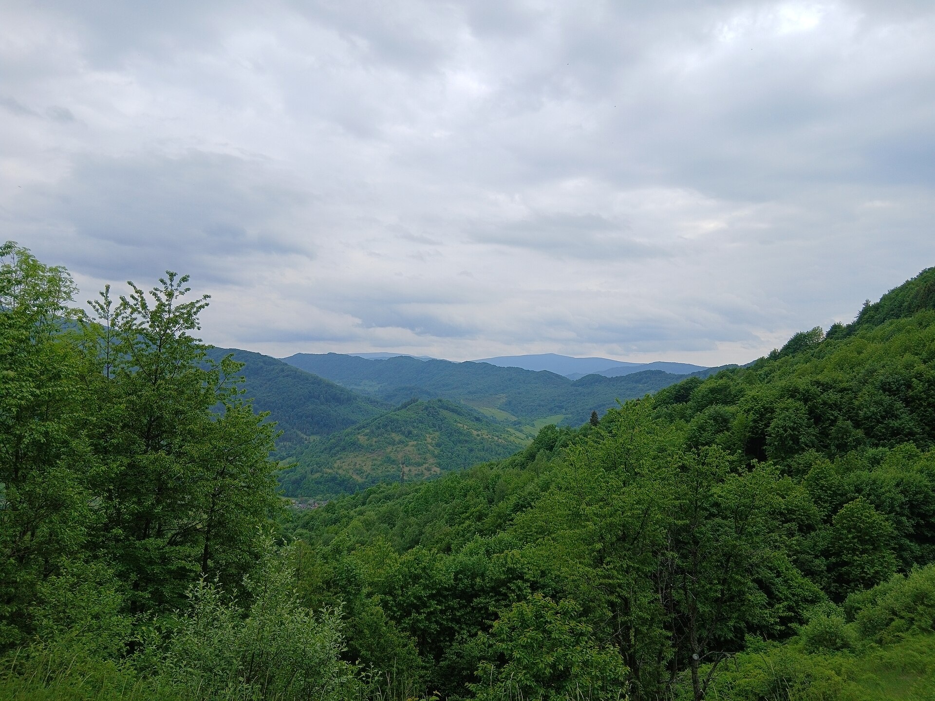
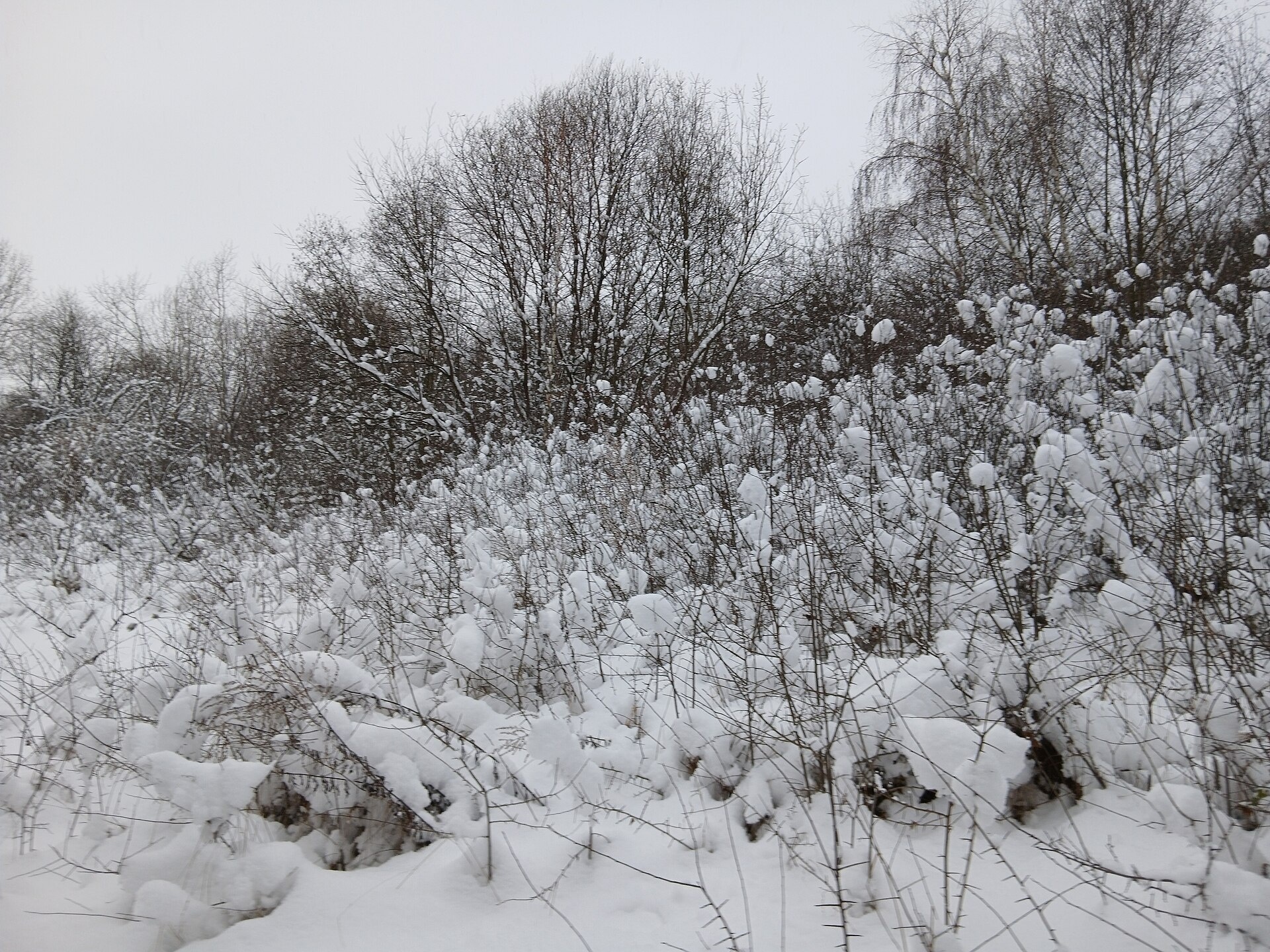
Opolonek (also Opolonyk) is a 1,028 m mountain in the Bieszczady, part of the Eastern Beskids. The summit lies right on the state border between Ukraine and Poland; its southern and south-western slopes belong to Zakarpattia Oblast. The nearest villages are Uzhok and Volosianka, with Sianky on the other side of the Uzhok Pass.
The slopes are steep, covered with beech forest and fairly hard going; only the very top is open. To the east the ridge leads to the Uzhok Pass, to the north-west to the little-known, closed Zhydivskyi Beskyd pass (863 m). The Main European Watershed runs across Opolonek, and the Lviv–Uzhhorod railway, with several tunnels, winds below its southern slopes.
How to get there
Our site has no marked route to Opolonek yet. The summit can be climbed legally only from the Ukrainian side: green waymarks lead from the Uzhok Pass along the border and continue to Mount Kinchyk Bukovskyi. Access from Poland is forbidden, as the mountain lies in the Bieszczady National Park there. Uzhok, reachable by train, is a convenient place to start.
Water, shelter and safety
Our map shows a stream near Uzhok about 700 m from the summit, another stream above Volosianka 1.1 km away and the “Neuzghodzhenyi vytik Sianu” spring about 2 km away. Drink stream water only after boiling or filtering. The nearest weather shelter is a canopy near Uzhok, about 2.7 km from the top. Remember that this is a border zone: carry your passport, do not cross the border line and follow the instructions of border guards. In an emergency call 112 or 101 — mountain rescue units work around the clock.
Interesting facts
- Opolonek is regarded as Poland's southernmost mountain: the country's southernmost spot is an unnamed saddle on its south-eastern slope, about a kilometre from the summit.
- West of the summit, on the Ukrainian side of the border, stands a natural monument — Dovbush's Rock.
- Remains of the former Soviet border fence, about two metres high and made of barbed wire, still stand on the mountain.
- In the late 1920s Józef Piłsudski stayed in nearby Sianky and walked with his children up Opolonek to Dovbush's Rock.
Photos: Микола Василечко, CC BY-SA 4.0; Микола Василечко, CC BY-SA 4.0 — Wikimedia Commons.
Location on the map
Comments
Places to stay nearby
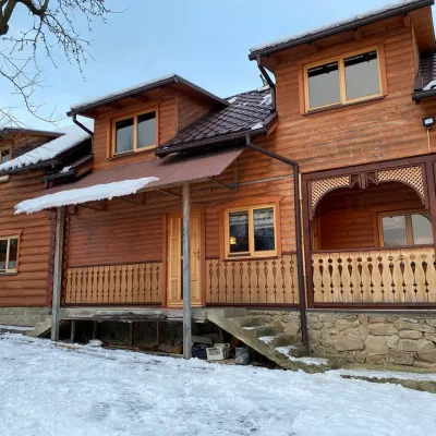 HomesteadVilla Uzh2.1 km from Mount OpolonekThe cottage "Villa Uzh" is located amidst picturesque mountains in the village of Uzhok, 5 km from the Volosyanka-Zakarpatska railway station.Nearby: Church of St. Michael 500 m3 trails
 HomesteadHomestead "U Dyadi Vani" Vyshka12 km from Mount OpolonekPoolSaunaBBQ
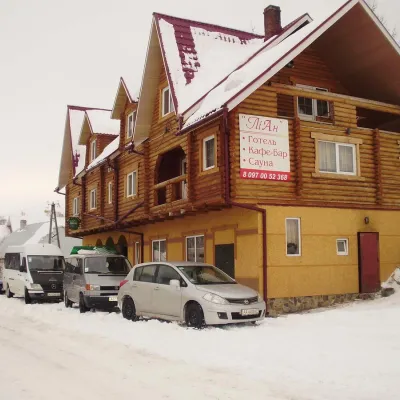 HotelHotel-Restaurant "LiAn" Mykulychyn2 km from Mount OpolonekSaunaTransferNearby: Church of St. Michael 1.5 km2 trails
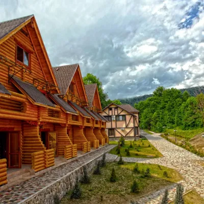 HotelHealth Complex "Uzhansky Kupeli" Uzhok2.2 km from Mount OpolonekHot tubPoolSaunaNearby: Church of St. Michael 1.2 km6 trails
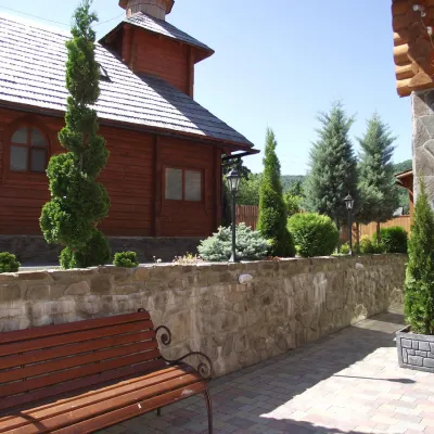 HotelTOP Resort&Spa Vyshka (2.7 km to the Krasia lift)13 km from Mount OpolonekPoolSaunaSPA
 HotelGuest house "Urochyshche"13 km from Mount OpolonekPoolSaunaKids
Trails nearby
 HardMulti-dayMarkedTranscarpathian Tourist TrailElevation profile198–2 031 m393.2 kmascent 30 283 munder 1 km from Mount Opolonek
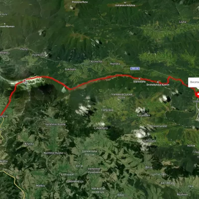 HardMulti-dayUnmarkedUzhok village to Bilasovytsia villagevia Husnyi village, Mount Drohobytskyi Kamin +2Elevation profile543–1 334 m30.3 kmascent 1 335 m≈ 10 h walking2 km from Mount Opolonek
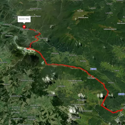 HardMulti-dayUnmarkedUzhok village to Zhdeniievo villagevia Mount Drohobytskyi Kamin, Starostyna village +3Elevation profile393–1 336 m36.4 kmascent 1 520 m≈ 12 h walking2.4 km from Mount Opolonek
Nearby attractions
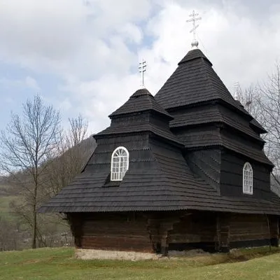 ChurchChurch of St. Michael, Uzhok2.1 km from Mount OpolonekOne of the most striking sights of the Carpathians is undoubtedly the wooden church of the Holy Archangel Michael, located in the village of Uzhok, Velykyi Bereznyi...
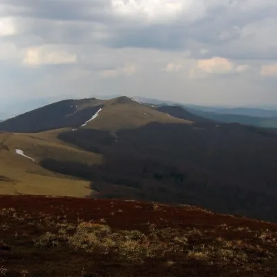 PeakMount Starostynaaltitude 1 229 m · Watershed Ridge range9.3 km from Mount OpolonekStarostyna is a 1,229 m mountain on the Vododilnyi (Verkhovyna Watershed) Ridge of the Eastern Beskids.
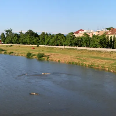 RiverLatorytsia10 km from Mount OpolonekLatorytsia River - Latorytsia and its surroundings are a popular destination for eco-tourism. The river's flow through mountains and forests creates picturesque...