Black woodpecker
About
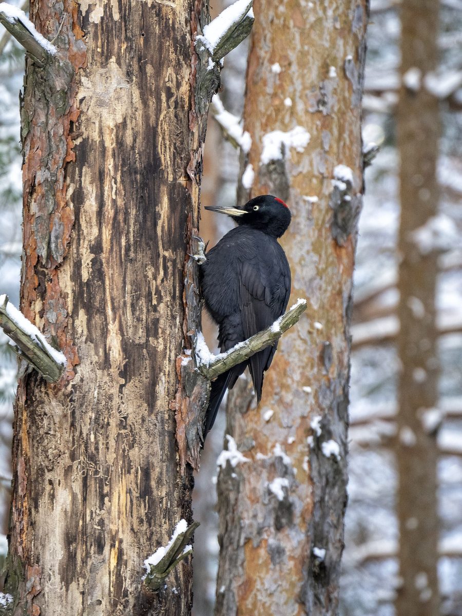
The Black woodpecker is the largest woodpecker in Europe and a common inhabitant of the old forests of the Carpathians. It lives in beech, fir, and spruce forests from the foothills to the upper tree line in all Carpathian countries, but requires old thick trees.
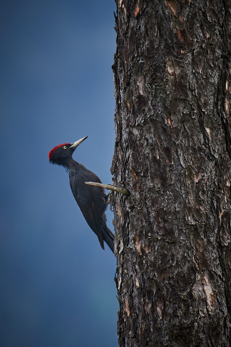
The bird is the size of a crow, entirely black, with light eyes and a light beak. The male has a completely red crown, while the female has only a small spot on the nape. Its voice is loud: in flight, it produces a ringing "kri-kri-kri," and while sitting on a tree, it emits a prolonged mournful "klie." In spring, woodpeckers drum loudly with their beaks on dry trunks.
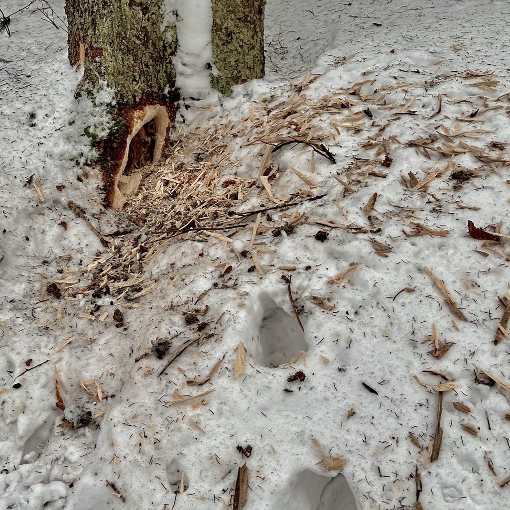
The woodpecker primarily feeds on ants, especially wood ants, as well as the larvae of bark beetles and longhorn beetles, which it excavates from the bark and wood. The excavated pieces of bark and deep elongated holes in old stumps and trunks are characteristic signs of its feeding.
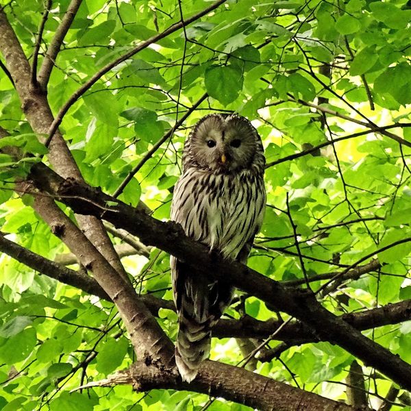
The woodpecker carves out a new cavity every year, at a height of several meters in a thick, usually beech or fir trunk. The entrance is oval, elongated upwards. Old woodpecker cavities are true apartments for the forest: they are occupied by the long-eared owl, owls, blue pigeons, bats, and martens.
The Black woodpecker is not listed in the Red Book of Ukraine; in the EU, it is included in Annex I of the Birds Directive.
Where in the Carpathians

The map shows where naturalists recorded the species (GBIF, CC0 and CC BY records), not every place it lives. The Ukrainian Carpathians are less studied, so a blank area does not mean the species is absent.
- Countries
- Slovakia · Czechia · Hungary · Poland · Romania · Ukraine · Austria · Serbia · BG
- Mountain ranges
- Börzsöny and Cserhát, Volovec Mountains, Moravian-Silesian Beskids, Bükk, Silesian Beskids, High Tatras, Żywiec Beskids, Slovak Ore Mountains, Skole Beskids, Little Carpathians
- Altitude belts
- Foothills (below 600 m) · Beech forests (600–1200 m)
When to see it
| Jan | Feb | Mar | Apr | May | Jun | Jul | Aug | Sep | Oct | Nov | Dec | |
|---|---|---|---|---|---|---|---|---|---|---|---|---|
| Sightings |
From naturalists’ observations in the Carpathians (iNaturalist, research grade): the darker the cell, the more often the species is seen that month.
Protection and rules
Not listed in the Red Book of Ukraine; in the EU — Annex I of the Birds Directive.
FAQ
What is the largest woodpecker in the Carpathians?
The Black woodpecker is a bird the size of a crow, black with a red cap. It lives in old forests from the foothills to the tree line.
Who carves large oval cavities in Carpathian beeches?
Most often, it is the Black woodpecker. Its old cavities are later occupied by owls, blue pigeons, bats, and martens.
Similar species
Where to meet it
Trails
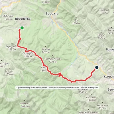 HardMulti-dayVoronenko village to Kryvopillia villagevia Mount KukulElevation profile868–1 539 m26.9 kmascent 1 284 m≈ 9.5 h walking
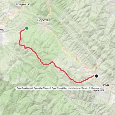 HardMulti-dayMarkedVoronenko village to Staishche villagevia Mount KukulElevation profile698–1 586 m31.1 kmascent 1 667 m≈ 11 h walking
 HardMulti-dayIltsi village to Voronenko villagevia Mount KukulElevation profile637–1 586 m45.8 kmascent 1 957 m
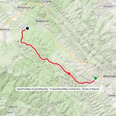 HardMulti-dayKrasnyk village to Voronenko villagevia Kostrych ridge, Mount KukulElevation profile637–1 586 m39.2 kmascent 1 893 m≈ 13.5 h walking
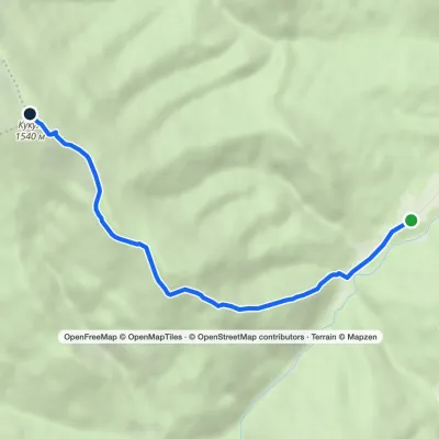 EasyOne-dayMarkedHoverla checkpoint (Zavoiela) Mount KukulElevation profile900–1 539 m4.8 kmascent 639 m≈ 2.5 h walking
 HardMulti-dayMarkedVorokhta to Yasiniavia Mount KukulElevation profile719–1 496 m36.3 kmascent 861 m≈ 11 h walking
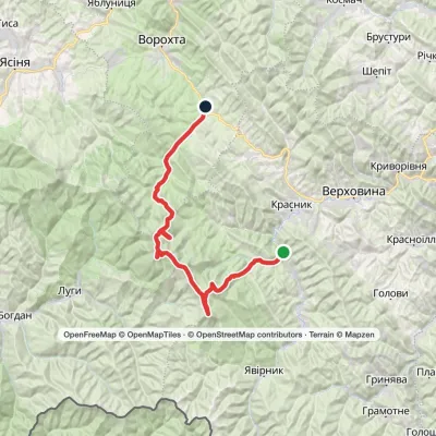 HardMulti-dayDzembronia village to Vorokhtavia Mount Smotrych, Mount Pip Ivan Chornohirskyi +1Elevation profile719–2 035 m46 kmascent 2 479 m
 HardMulti-dayVorokhta to Lake Brebeneskulvia Mount Shpytsi, Mount RebraElevation profile748–2 001 m28.3 kmascent 1 280 m≈ 9.5 h walking
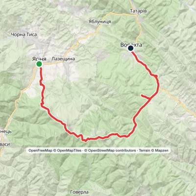 HardMulti-dayYasinia to Vorokhtavia Mount Petros, Mount HoverlaElevation profile657–2 061 m51.7 kmascent 2 117 m
 HardMulti-dayYasinia to Vorokhtavia Mount Petros, Mount Hoverla +2Elevation profile655–2 061 m60.3 kmascent 2 233 m
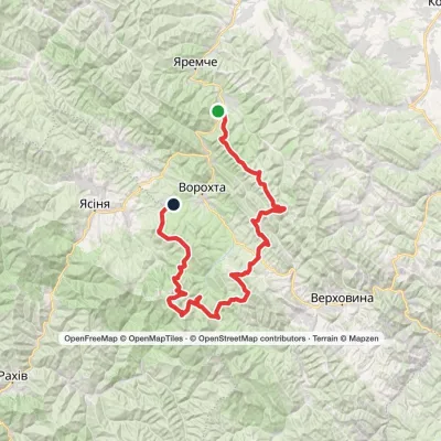 HardMulti-dayMykulychyn village to Voronenko villagevia Mount Khorde, Mount Pozhyzhevska +2Elevation profile587–2 061 m93 kmascent 4 527 m
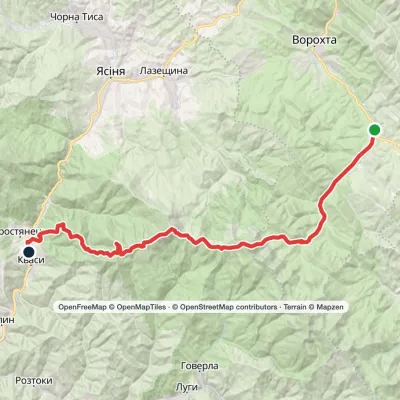 HardMulti-dayVorokhta to Kvasy villagevia Zaroslyak base, Mount Hoverla +1Elevation profile535–2 061 m40.8 kmascent 1 776 m≈ 14 h walking
Peaks and meadows
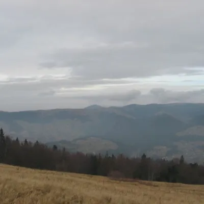 Mountain meadow1 136 mPolonyna BorsuchynaVorokhtaPolonyna Borsuchyna is located in Vorokhta, Ivano-Frankivsk region, at an altitude of 1136 meters in the Carpathians.
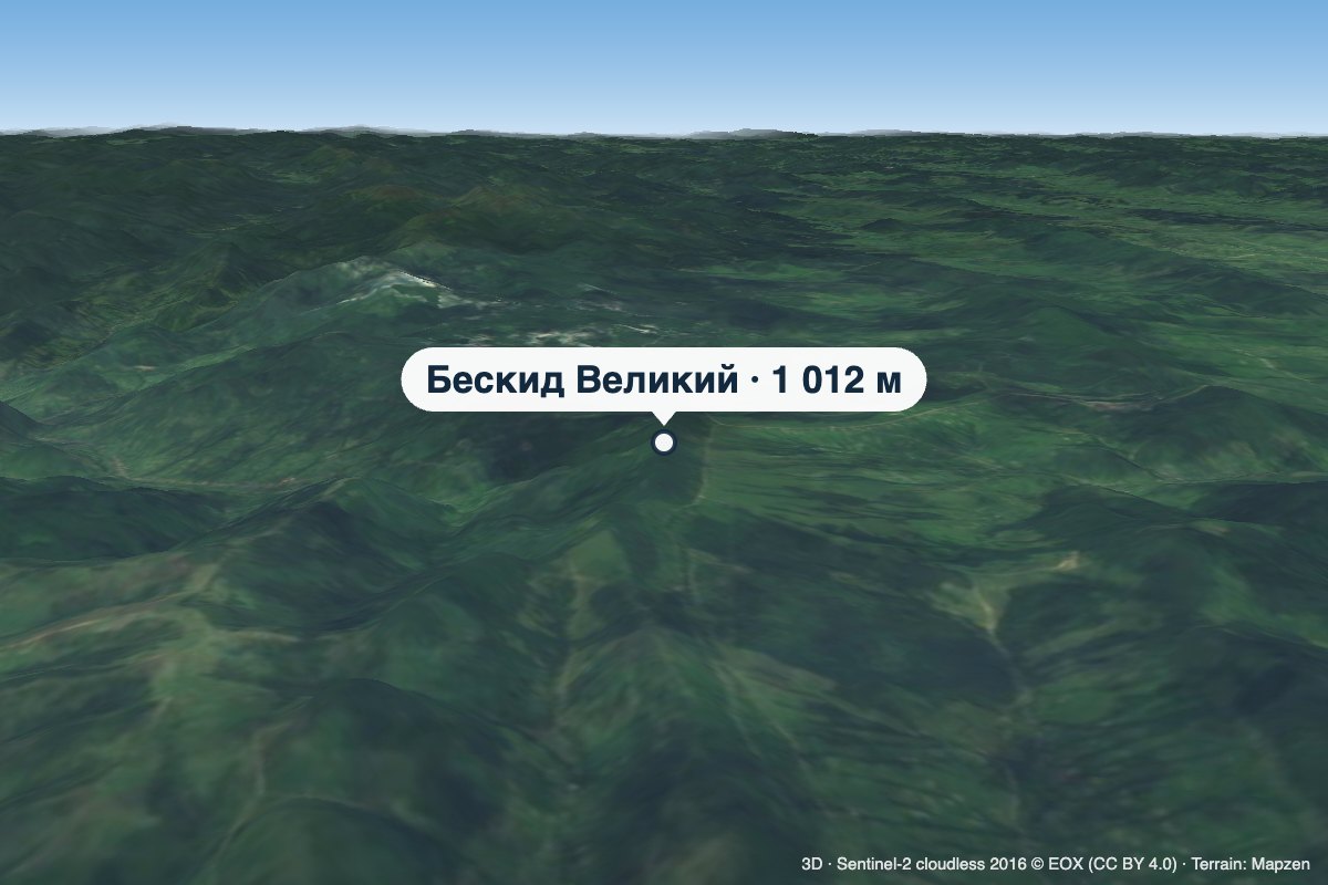 PeakMount Beskyd VelykyiSiankyaltitude 1 012 m · Watershed Ridge range1 trail to the topBeskyd Velykyi is a 1,012 m summit on the border of Lviv and Zakarpattia oblasts.
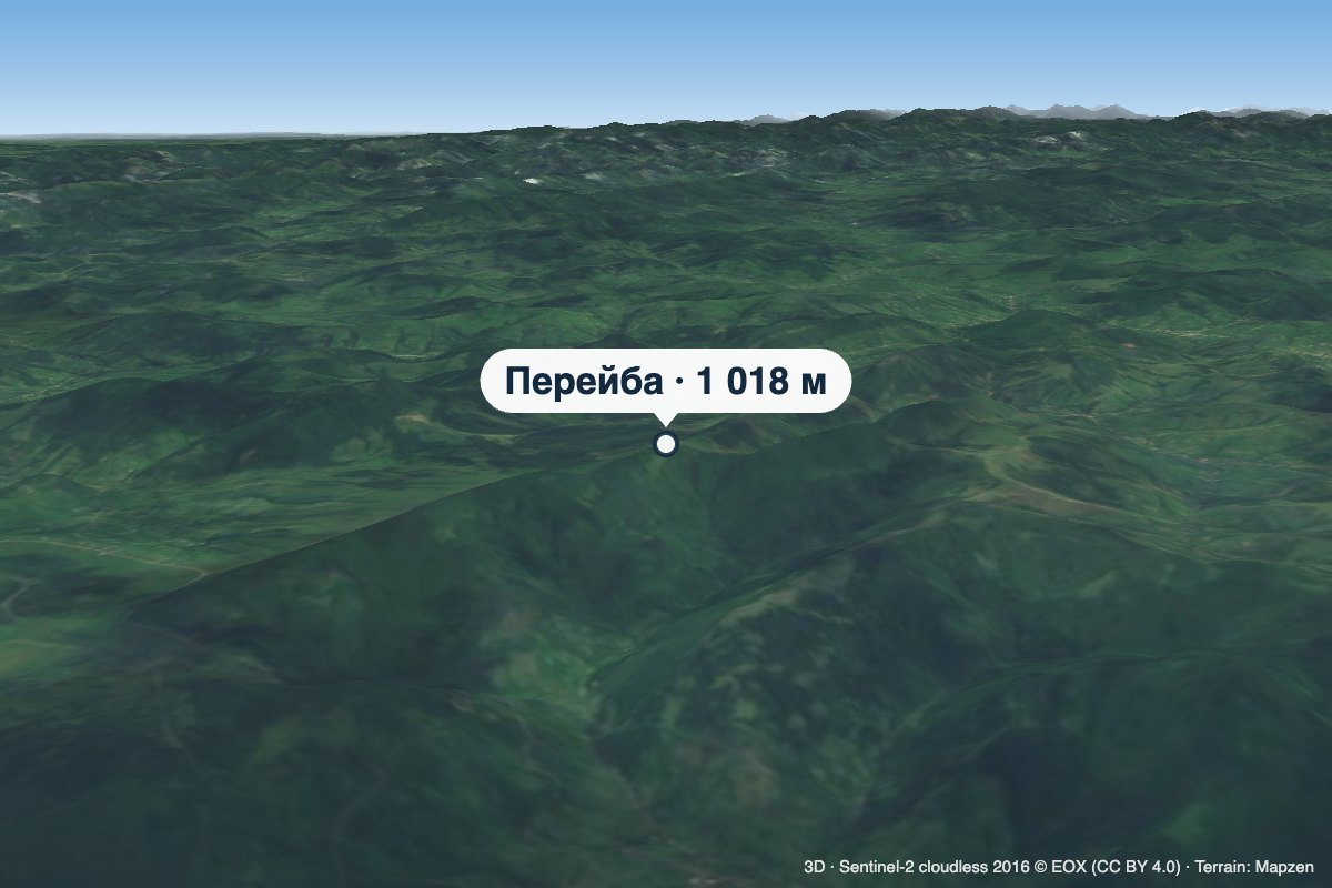 PeakMount PereibaSyhlovatealtitude 1 018 m · Watershed Ridge range1 trail to the topPereiba is a 1,018 m summit on the Vododilnyi (Verkhovyna Watershed) Ridge, not far from the Uzhok Pass, on the...
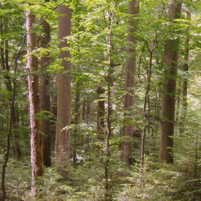 PeakMount KalnytsiaStuzhytsiaaltitude 1 004 mKalnytsia (Slovak: Kalnica) is a 1,004 m mountain on the state border between Ukraine and Slovakia, in the Bukovské...
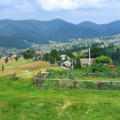 PeakMount OseredokVorokhtaaltitude 915 m · Chornohora range1 trail to the topOseredok is a modest 915 m summit right above Vorokhta (about 2 km), north of the Chornohora range, in Ivano...
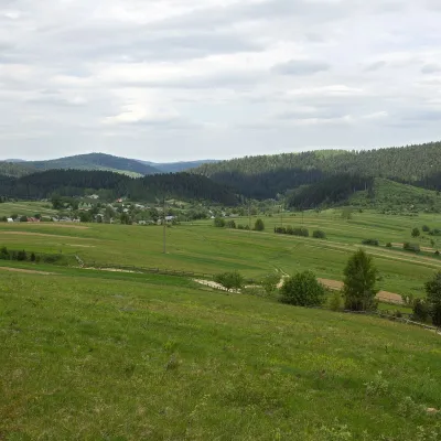 PeakMount RozluchRozluchaltitude 933 m1 trail to the topRozluch is a 933 m mountain in the Upper Dniester Beskids, the highest point of the Rozluch ridge.
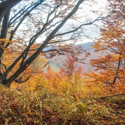 PeakMount Dil (Krushelnytsia)Krushelnytsiaaltitude 899 m · Skole Beskids rangeIt lies north-east of the Parashka ridge, about 2.6 km from Parashka itself (1,268 m), and rises above the village of...
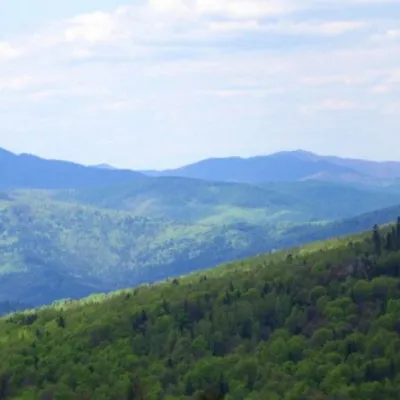 PeakMount KlyuchKamiankaaltitude 927 m · Skole Beskids range2 trails to the topMount Klyuch is one of the peaks of the ridge in the Skole Beskydy, which starts from the Sukel River (Bukivets...
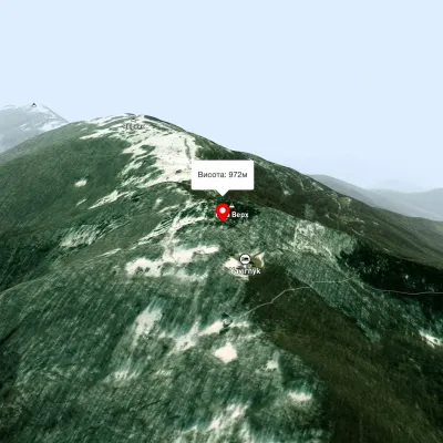 PeakMount Judah TopRuskyi Mocharaltitude 972 mThe top of Mount Judah Top is 972 meters above sea level. The nearest settlements are: Ruskyi Mochar (2.1 km), Sil (4...
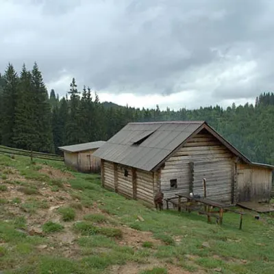 Mountain meadow1 031 mPolonyna DilKryvopilliaShepherds graze cows in the meadow. You can buy dairy products from the shepherds, as well as take part in a master...
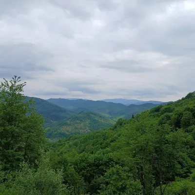 PeakMount OpolonekUzhokaltitude 1 028 mOpolonek (also Opolonyk) is a 1,028 m mountain in the Bieszczady, part of the Eastern Beskids.
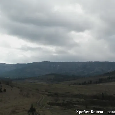 PeakMount YavorinkaTrukhanivaltitude 940 m3 trails to the topThe top of Mount Yavorinka is 940 meters above sea level. Mount Yavorinka is the highest peak of the Klyucha ridge,...
Waters and waterfalls
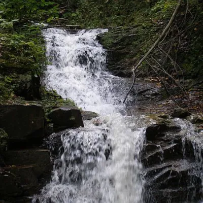 WaterfallChemernarsky Hook waterfallDolishnii ShepitChemernarsky Huk Waterfall is a small but very beautiful waterfall located in the village of Dolishniy Shepit,...
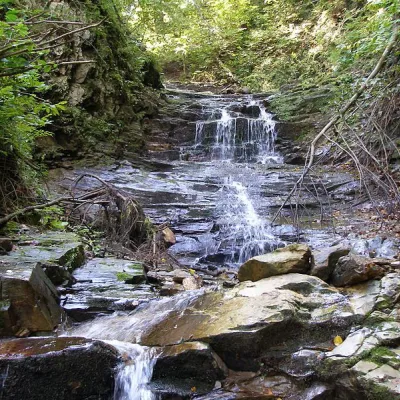 WaterfallChemernarsky waterfall Lower HookDolishnii ShepitThe Chemernarsky Lower Hook Waterfall (also known as Lower Shepit) is located in Dolishnyi Shepit, in the western...
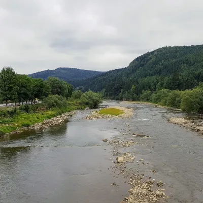 RiverOpir RiverSkoleThe Opir is a 58-km mountain river of the Skole Beskids. It rises on the eastern slope of Mount Velykyi Yavirnyk,...
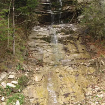 WaterfallWaterfall Kizya, Ust PutilaChernivtsi regionA cascade of waterfalls with a height difference of 16 m. Located on a stream - the right tributary of the Biskiv...
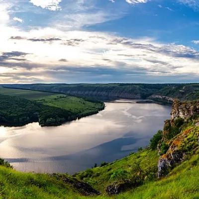 RiverDniesterVovcheThe Dniester is one of the most famous and largest rivers in Ukraine. The Dniester has been used as an important...
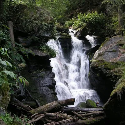 WaterfallVojvodyn waterfallPolianska HutaThe Voyevodyn Waterfall is located on the stream of the same name near the village of Zhdeniyevo in Zakarpattia...
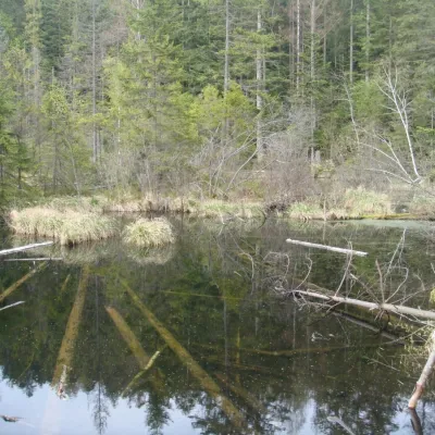 LakeLake Zhuravlyne (Dead Lake)KamiankaThere is one mysterious place in the Skole Beskydy National Nature Park - Zhuravlyne Lake, also called Dead Lake.
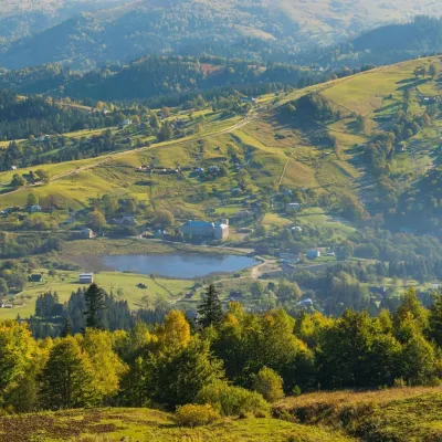 LakeLake Bukovets (Bukovetsky Pass)BukovetsThe large lake Bukivets is located on the border of Kosiv and Verkhovyna districts.
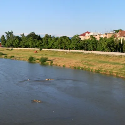 RiverLatorytsiaRoztokaLatorytsia River - Latorytsia and its surroundings are a popular destination for eco-tourism.
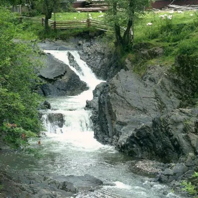 WaterfallCascading waterfall "Suceava Hook"Dolishnii ShepitThe cascade of waterfalls "Suceava Hook" is a unique natural monument of the Chernivtsi region.
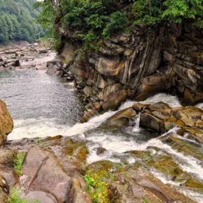 WaterfallProbiy waterfall, YaremcheYaremcheProbiy Waterfall is located in the heart of the Carpathian Mountains, in the city of Yaremche.
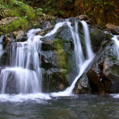 WaterfallKamianka waterfallDubyna"Kamianka Waterfall or Kamianka Waterfall is the most famous waterfall located on the mountain river of the same name...
Mountain ranges: Skole Beskids, Bieszczady. In other countries: 🇭🇺 Börzsöny and Cserhát, 🇸🇰 Volovec Mountains, 🇨🇿 Moravian-Silesian Beskids, 🇭🇺 Bükk, 🇵🇱 Silesian Beskids, 🇸🇰 High Tatras, 🇵🇱 Żywiec Beskids, 🇸🇰 Slovak Ore Mountains, 🇸🇰 Little Carpathians, 🇸🇰 Low Tatras, 🇸🇰 Slovak Central Mountains, 🇸🇰 Western Tatras
Trails and peaks near which naturalists recorded the species (GBIF, iNaturalist), matched by altitude and habitat. Sightings are not guaranteed.
Sources
- Вікіпедія: Жовна чорна
- Wikipedia (en): Black woodpecker
- Перелік видів тварин, що заносяться до Червоної книги України (наказ Міндовкілля від 19.01.2021 № 29, зареєстровано в Мін'юсті 01.03.2021 за № 260/35882)
- Міндовкілля: текст переліку видів тварин Червоної книги України (PDF)
- GBIF: таксон і категорія МСОП
- Директива 2009/147/ЄС про збереження диких птахів
GBIF · iNaturalist · Wikidata · Distribution data: GBIF.org (CC0 and CC BY records), iNaturalist; names and identifiers: Wikidata (CC0). Text: Karpaty.rocks, checked 09.11.2026.
