Mount Terentyn
Terentyn is a 1,388 m summit in the south-western part of the Svydovets range, in the Rakhiv district of Zakarpattia Oblast. It rises above the valleys between Rakhiv (about 6 km) and the village of Bilyn (about 3.4 km); Sitnyi is 6.5 km away.
Terentyn sits on the ridge used to climb Svydovets from Rakhiv. About 1.1 km to the north lies Dovzhyna (1,380 m) with a pasture of the same name, Tsyhanskyi Hrun is 1.7 km to the south-east and Mahurytsia (1,265 m) 1.9 km to the south-west. The range’s highest peak, Blyznytsia, is still more than 10 km away along the ridge.
How to get there
9 of our routes cross the slopes of Terentyn, 100–300 m from the summit — mostly those starting in Rakhiv. The closest, about 100 m away, is Rakhiv – Mount Blyznytsia – Kvasy (31.7 km). Shorter out-and-back options to Blyznytsia are Rakhiv – Mount Blyznytsia (18.8 km) and Rakhiv – Blyznytsia (23.2 km). For a long hike take Rakhiv – Blyznytsia – Stih – Troiaska – Tataruka – Chorna Tysa – Yasinia (65 km) or Rakhiv – Svydovets – Bratkivska ridge – Syvulia ridge – Ihrovyshche ridge – Osmoloda (86.8 km). From Bilyn, about 2.2 km from the summit, starts the short route Bilyn – Perelisok shelter (6.5 km).
Water, shelter and safety
Water is plentiful around Terentyn: our map shows three springs about 290–300 m to the west and north (at about 1,270–1,300 m), among them the Ovechyi spring; the Ukraina spring is about 1.1 km to the south-west. A weather shelter near Bilyn stands about 1.5 km to the south-west, a hut on the Dovzhyna pasture 2.4 km to the north, and the working Perelisok shelter about 2.8 km to the north. The condition of most springs is unknown, so carry some water. The nearest summit with our forecast is the weather on Blyznytsia (about 13 km). In an emergency call 112 or 101 — contacts of the nearest units are on our mountain rescue page.
Comments
Travellers’ experience: reports, tips, questions.
No one has reported on this trail yet. Been here lately? Tell others what it is like now.
Water and shelter nearby
- Spring (Bilyn, 6)290 m · Not verified · 1 279 m
- Spring (Bilyn, 8)290 m · Not verified · 1 302 m
- Sheep spring300 m · Not verified · 1 273 m
- Spring (Bilyn, 7)770 m · Not verified · 1 284 m
- Spring (Bilyn, 4)850 m · Not verified · 1 272 m
- Spring “Ukraine”1.1 km · Not verified · 1 239 m
- Spring (Bilyn, 9)1.3 km · Not verified · 1 195 m
- Spring (Bilyn, 3)1.4 km · Not verified · 1 128 m
- Spring (Bilyn, 10)2.3 km · Not verified · 1 203 m
- Hut on Polonyna Dovzhyna2.4 km · Not verified · 1 213 m
- Spring (Bilyn, 11)2.4 km · Not verified · 1 191 m
- Spring (Rakhiv, 9)2.7 km · Not verified · 948 m
- Perelisok Hut2.8 km · Standing · 1 234 m
- Spring (Bilyn, 5)2.8 km · Not verified · 1 232 m
Wildlife nearby
All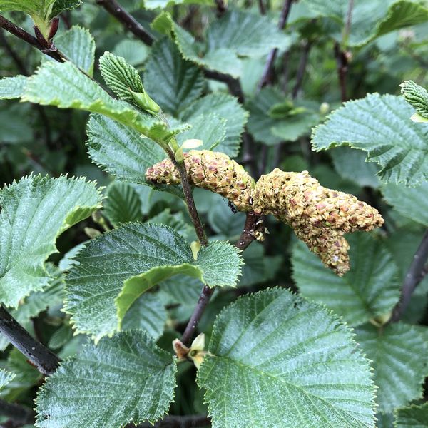
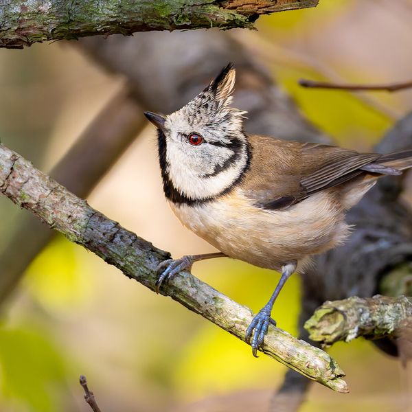
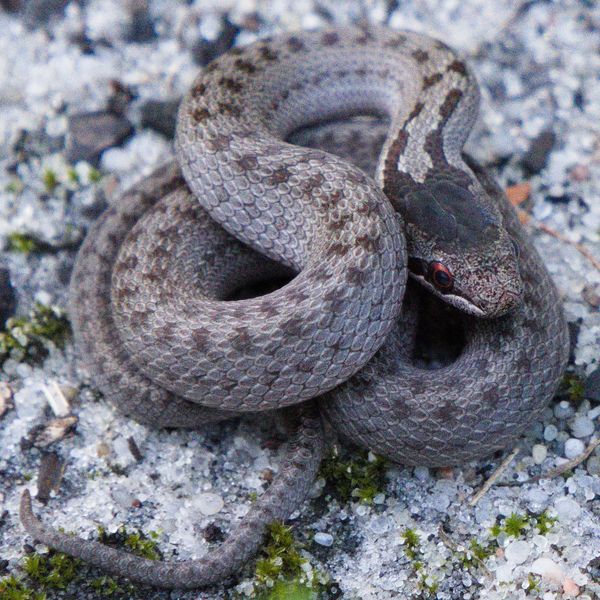
Based on naturalists’ records nearby (GBIF, iNaturalist), matched by altitude, habitat and season. Sightings are not guaranteed.
Places to stay nearby
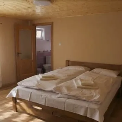
All stays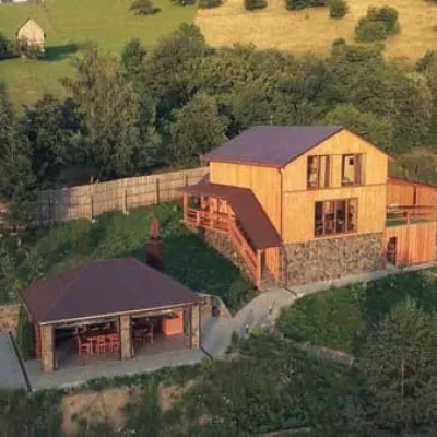 HotelTrembitaRakhiv3.1 km from Mount TerentynHot tubSaunaBBQNearby: Church of St. John Nepomuk 2.9 kmMt Terentyn 3.1 km12 trailsfrom 6 500 UAH per night
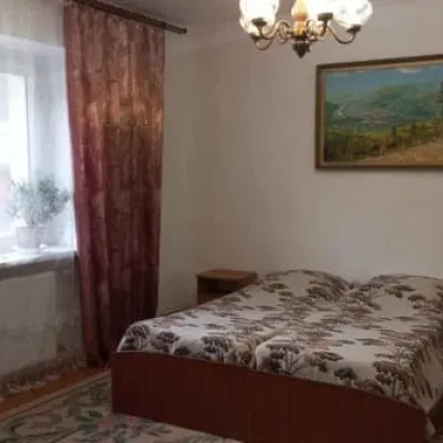
 HotelKraftova SadybaRakhiv5 km from Mount TerentynBBQParkingWi‑FiNearby: Church of St. John Nepomuk 1.6 kmNyzhnyi Huk waterfall 5.7 km12 trailsfrom 1 190 UAH per night
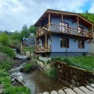
 HotelU ErykaRakhiv5 km from Mount TerentynPoolSaunaBBQNearby: Church of St. John Nepomuk 1.5 kmNyzhnyi Huk waterfall 5.7 km12 trailsfrom 600 UAH per night
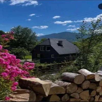
 CottageMelissaRakhiv5.4 km from Mount TerentynBBQParkingWi‑FiNearby: Church of St. John Nepomuk 1.7 kmMt Terentyn 5.4 km12 trailsfrom 2 200 UAH per night
 CottagePustirnikRakhiv5.4 km from Mount TerentynBBQParkingWi‑FiNearby: Church of St. John Nepomuk 1.7 kmMt Terentyn 5.4 km12 trailsfrom 3 000 UAH per night
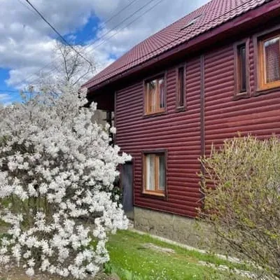 HotelNad TysoyuKvasy5.4 km from Mount TerentynBBQParkingWi‑FiNearby: Polonyna Sheshul 7.0 kmMt Sheshul 8.3 km47 trailsfrom 1 200 UAH per night
Trails nearby
All trails Hard1–2 daysRakhiv to Kvasy villagevia Mount BlyznytsiaElevation profile439–1 883 m31.7 kmascent 2 035 m≈ 11.5 h walkingunder 1 km from Mount Terentyn
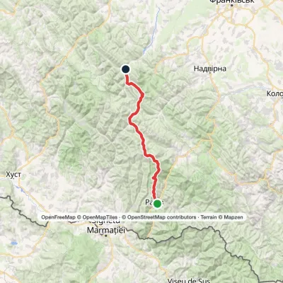 HardMulti-dayRakhiv to Osmoloda villagevia the Svydovets ridge, the Bratkivskyi ridge +2Elevation profile448–1 883 m86.8 kmascent 3 886 munder 1 km from Mount Terentyn
 HardMulti-dayRakhiv to Yasiniavia Mount Blyznytsia, Mount Stih +3Elevation profile431–1 883 m65 kmascent 2 859 munder 1 km from Mount Terentyn
Nearby attractions
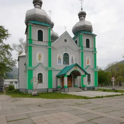 SightCathedral of the Descent of the Holy Spirit, RakhivRakhiv5.8 km from Mount TerentynThe three-domed church with a solemn main façade was built on the main square of Rakhiv from 1991 to 1993 according to the design of Rakhiv architect Mykhailo Kravchuk.
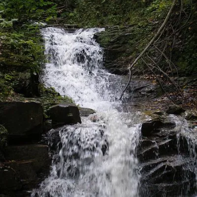 WaterfallNyzhnyi Huk waterfallRoztoky · Chornohora8.1 km from Mount Terentynheight 2 m448 m above sea levelNyzhnyi Huk waterfall is located in the Vyzhnytsia district of Chernivtsi region in western Ukraine. It is located in a picturesque Carpathian landscape and is part of...
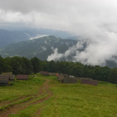 Mountain meadowPolonyna BrailkaKvasyaltitude 1 350 m · Svydovets range10 km from Mount TerentynPolonyna Brailka (in some sources and on our site also Braivka) is a mountain pasture on the south-eastern slopes of the Svydovets massif, above the village of Kvasy...
Craft nearby
All craft places Craft producersDU-MEN craft bakery, RakhivRakhiv6 km from Mount TerentynDU-MEN (DU•MEN.craft bakery) is a craft bakery in Rakhiv which, in its own words, has been baking “bread with a history” for twelve years.
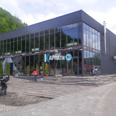 Craft beer & breweriesTsypa Brewery, KvasyKvasy7.1 km from Mount TerentynThe Tsypa Hutsul craft brewery in Kvasy is probably the best-known brewery in the Ukrainian Carpathians.
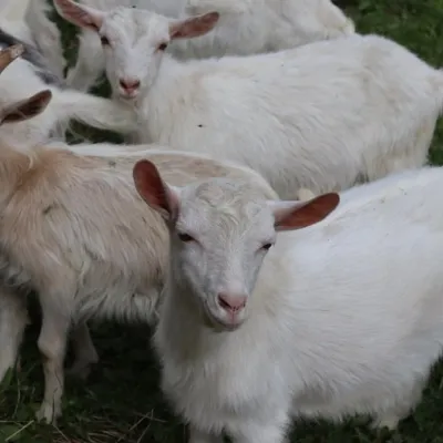 Eco farmsRozental Eco-Farm and Cheese Dairy, KvasyKvasy7.6 km from Mount TerentynBeer and cider are brewed here, sheep's-milk ice cream is made, and in the Vaskul area above the village sits the Rozental eco-farm and cheese dairy.
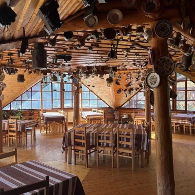 Koliby & Hutsul cuisineKolyba Museum, DiloveDilove16 km from Mount TerentynThe Kolyba Museum in Dilove is a timber restaurant serving Hutsul food right on the H09 highway, a few steps from the marker of the geographical centre of Europe in...
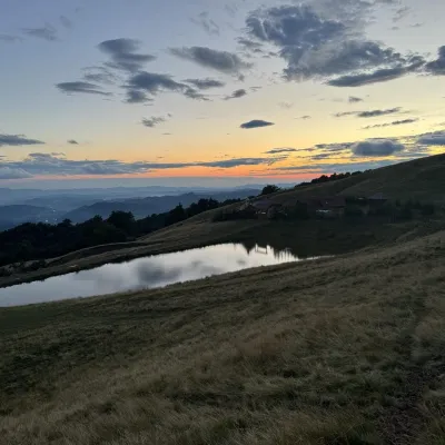 Cheese dairies & pasturesSheep's Cheese Masterclass on the Apetska Polonyna, VodytsiaVodytsia18 km from Mount TerentynThe Apetska polonyna is a broad high-mountain pasture on the southern slopes of the Svydovets range, below Mount Apetska (1,512 m).
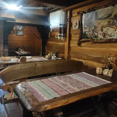 Koliby & Hutsul cuisineU Rizbaria Café, YasiniaYasinya21 km from Mount TerentynU Rizbaria Café (“At the Woodcarver’s”) in Yasinia is a small Hutsul place serving home cooking that travellers usually find by word of mouth.
