Rakhiv
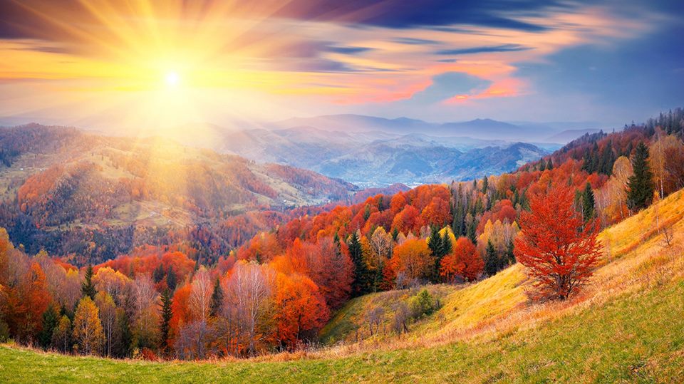
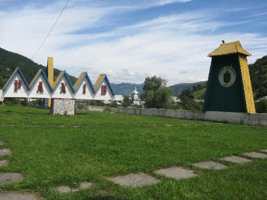
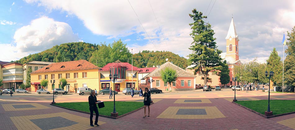
Rakhiv lies in the heart of the Carpathians - and Europe. It is home to mountains and clean air, mineral springs generously provide healing water, and protected forests remain the same as they were a hundred years ago. The ancient Hutsul traditions are alive here.
Rakhiv district is also extremely rich in minerals. There is a marble quarry in Dilove, granite and dolomite are also mined, and gold mining has begun in the Sauliak tract.
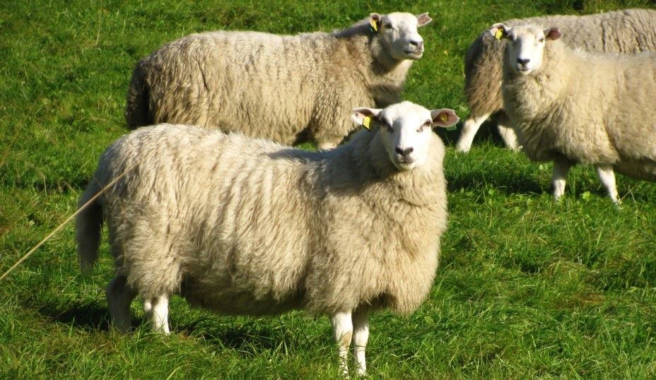
Today, Rakhiv is known for its ethno-festivals, which are visited by more and more tourists every year. Those who want to feel the flavor of the real Hutsul region are advised to visit the send-off to the meadow, which takes place on the first Sunday of June and is accompanied by a folk celebration, and in late summer - the Hutsul cheese festival, which is held near Rakhiv on Mount Burkut. Not only residents of the Rakhiv region, but also many guests from Ukraine and around the world gather for the festival. Here you can not only see the process of making sheep cheese, but also taste it.
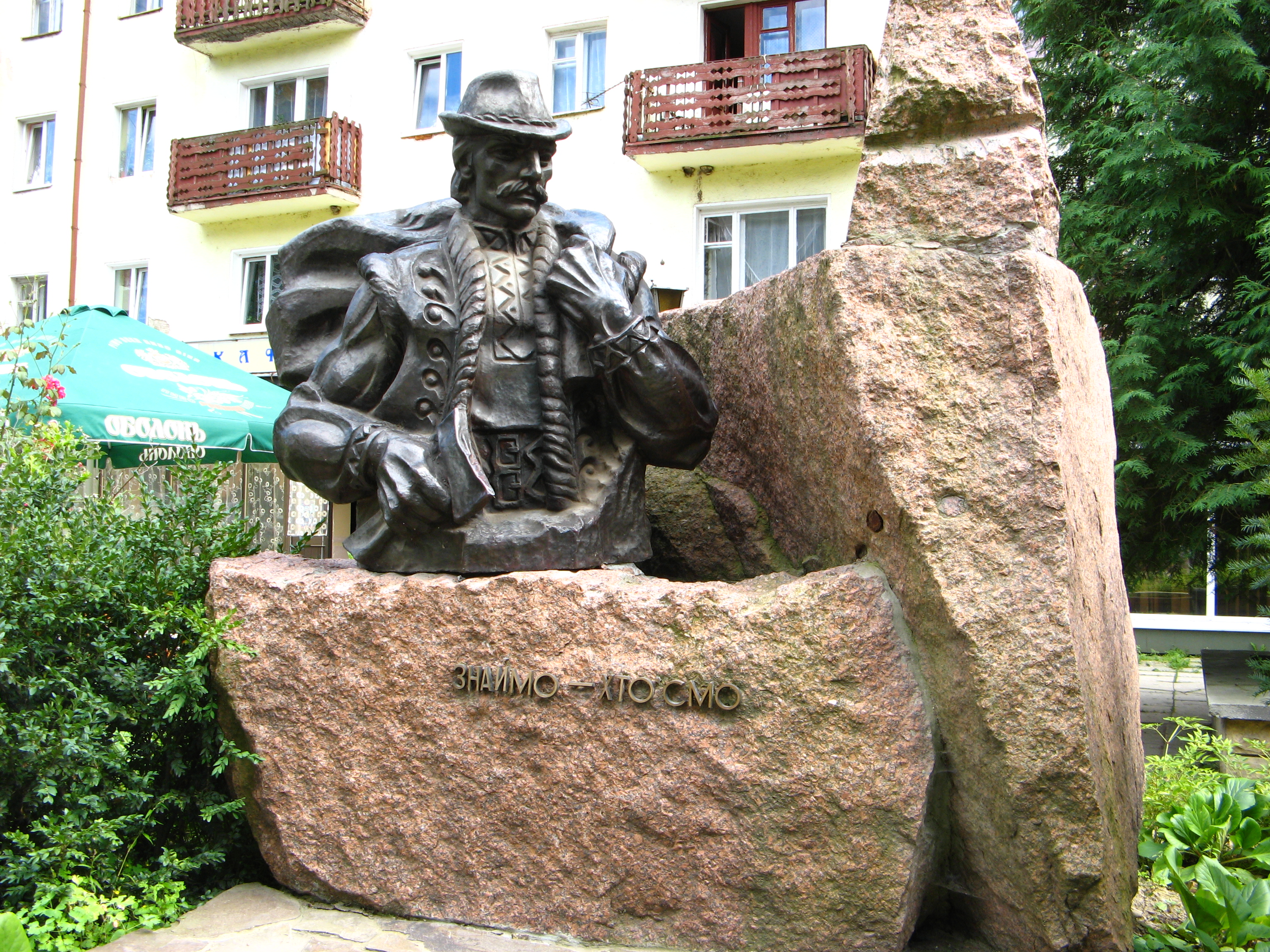
By the way, Rakhiv is one of the main centers of the Hutsul region. That's why there is a monument to the Hutsul.
It is worth noting that Rakhiv is also known for being the center of Europe. Actually, there are quite a few such centers in Europe. It all depends on what exactly is considered Europe. And whether remote islands should be taken into account in this calculation. At present, at least 6 settlements from Poland, Belarus, Lithuania, Slovakia, and other countries claim the title of "Geographical Center of Europe". However, the Transcarpathian center is considered one of the most correct. It is located not far from Rakhiv, in the village of Dilove. This is where tourists are brought to take pictures near the sign.
It also makes sense to visit the Museum of Mountain Ecology and Nature Management in the Ukrainian Carpathians.
What to visit
Landmarks, museums and places of interest near Rakhiv.
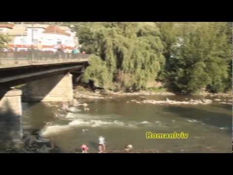
 RiverTysa River (Tisza)Rakhivunder 1 km from the centreThe Tysa (Tisza) is the main river of Zakarpattia. It begins on the north-eastern edge of Rakhiv, where the Chorna Tysa and the Bila Tysa meet, and flows past Dilove,...
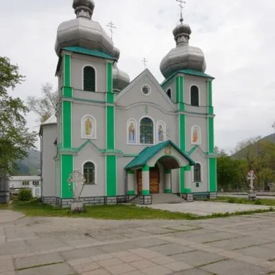 SightCathedral of the Descent of the Holy Spirit, RakhivRakhivunder 1 km from the centreThe three-domed church with a solemn main façade was built on the main square of Rakhiv from 1991 to 1993 according to the design of Rakhiv architect Mykhailo Kravchuk.
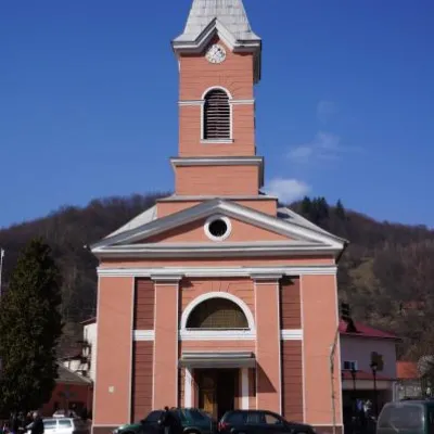 ArchitectureChurch of St. John Nepomuk, RakhivRakhivunder 1 km from the centreJohn Nepomuky is one of the main architectural monuments of the small town of Rakhiv, Transcarpathian region.
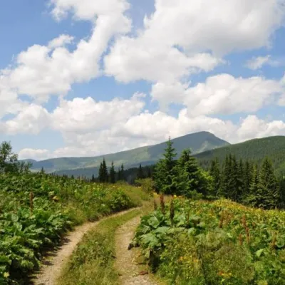 SightCarpathian Biosphere ReserveRakhiv4.7 km from the centreThere are many interesting places in Ukraine, but the Carpathian Biosphere Reserve, which is located in the heart of the Carpathians, is undoubtedly worthy of special...
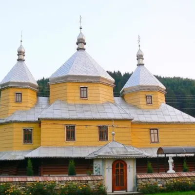 ChurchChurch of the Assumption of the Blessed Virgin Mary, RoztokyRoztoky6.5 km from the centreTheChurch of the Assumption of the Blessed Virgin Mary in the village of Roztoky, Chernivtsi Oblast, was built in 1846 from spruce beams in the style of the Bukovyna...
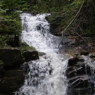 WaterfallNyzhnyi Huk waterfallRoztoky6.5 km from the centreNyzhnyi Huk waterfall is located in the Vyzhnytsia district of Chernivtsi region in western Ukraine. It is located in a picturesque Carpathian landscape and is part of...
Where to stay
Hotels, guesthouses and cottages in and around Rakhiv.
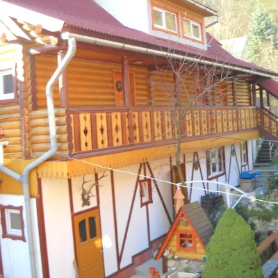 HotelHotel "Smerikova Khata" RakhivRakhivunder 1 km from the centreBBQKitchenParkingNearby: Church of St. John Nepomuk 300 mNyzhnyi Huk waterfall 7.0 km12 trails
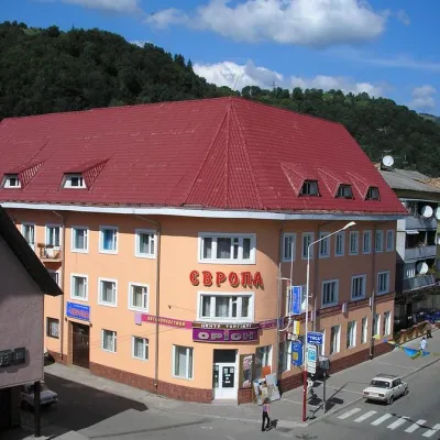 HotelHotel "Evropa" RakhivRakhivunder 1 km from the centreSaunaParkingWi‑FiNearby: Church of St. John Nepomuk 300 mNyzhnyi Huk waterfall 7.3 km12 trails
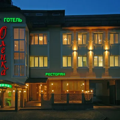 HotelHotel "Olenka" RakhivRakhivunder 1 km from the centreKitchenParkingWi‑FiNearby: Church of St. John Nepomuk 400 mNyzhnyi Huk waterfall 7.4 km12 trails
Trails nearby
All trails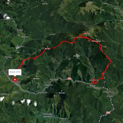 HardMulti-dayUnmarkedDilove village to Rakhivvia Mount Zherban, Mount Pip Ivan MarmaroskyiElevation profile340–1 871 m44.9 kmascent 2 247 munder 1 km from the centre
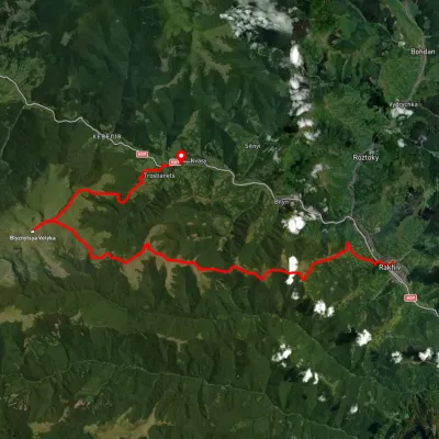 HardMulti-dayUnmarkedRakhiv to Kvasy villagevia Mount BlyznytsiaElevation profile427–1 881 m34.9 kmascent 2 176 m≈ 13 h walkingunder 1 km from the centre
 HardMulti-dayUnmarkedRakhiv to Dzembronia villagevia Mount Pip Ivan Marmaroskyi, Mount Mika-Mare +1Elevation profile437–1 998 m67.8 kmascent 3 766 munder 1 km from the centre
Peaks nearby
All peaks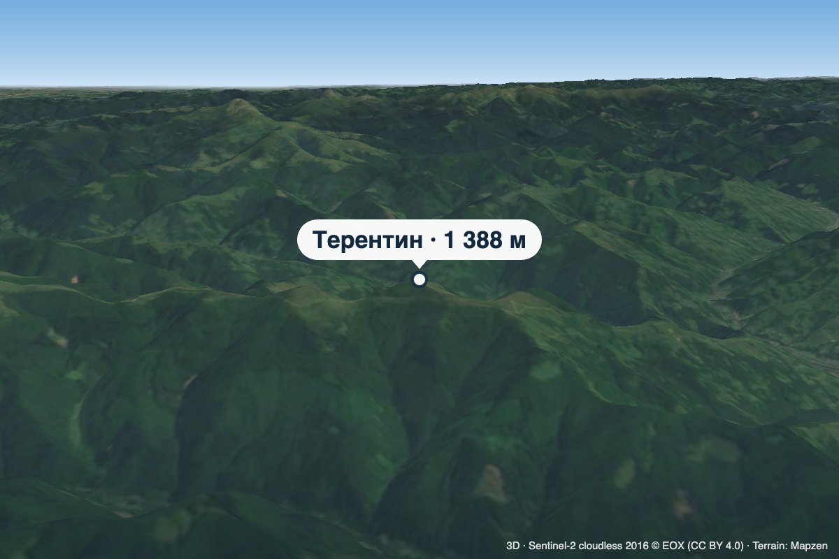 PeakMount TerentynBilynaltitude 1 388 m · Svydovets range6 km from the centreTerentyn is a 1,388 m summit in the south-western part of the Svydovets range, in the Rakhiv district of Zakarpattia Oblast.
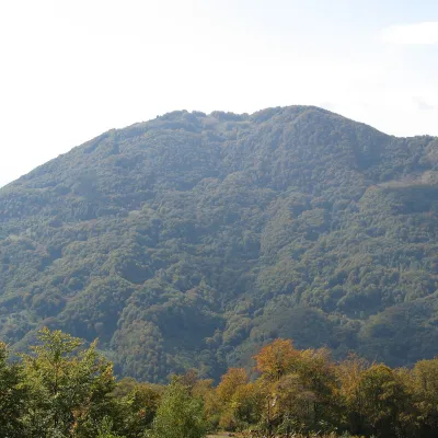 PeakMount KobylaKobyletska Polianaaltitude 1 177 m · Svydovets range9.1 km from the centreKobyla is a 1,177 m mountain in the Rakhiv district of Zakarpattia Oblast. At its foot lie the settlement of Kobyletska Poliana (to the north-west) and the village of...
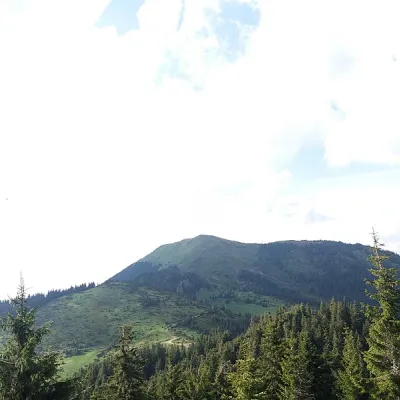 PeakBerlebashka MountainKostylivkaaltitude 1 734 m · Marmarosh range14 km from the centre25 trails to the topBerlebashka is a mountain in the Rakhiv Mountains (part of the Marmarosh Mountains). It is located in the south of Rakhiv district, Zakarpattia region, south of the...
What's nearby
Video