Carpathian rhododendron
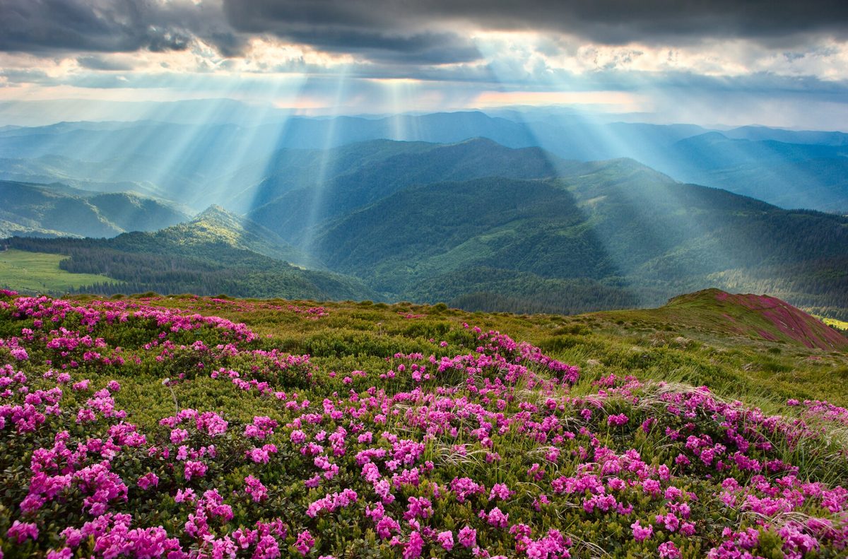
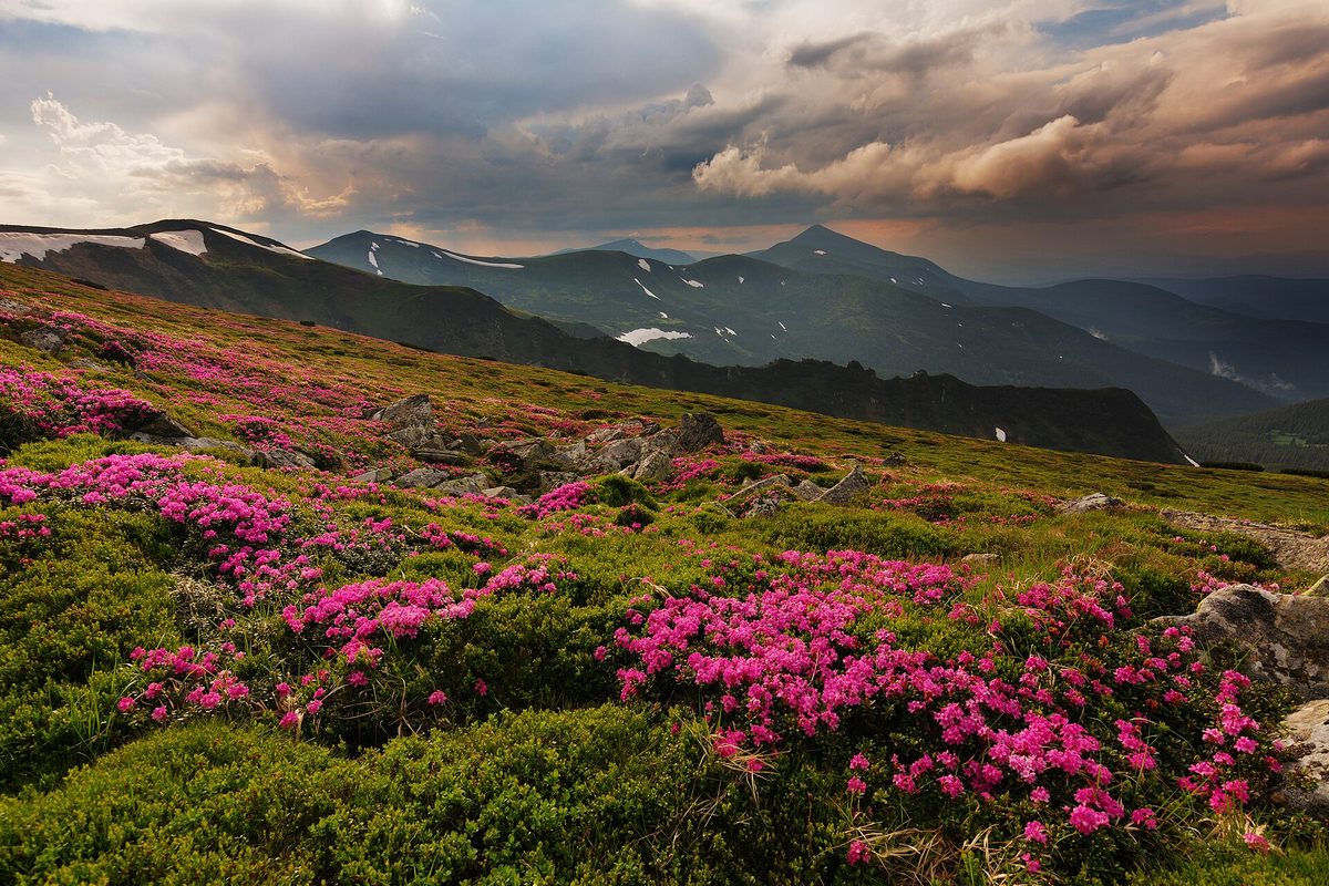
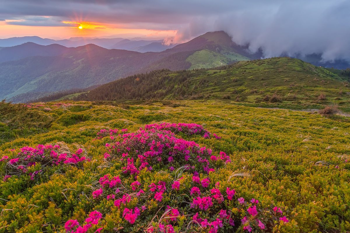
This plant is poisonous: do not taste or pick it, and wash your hands after touching it. In case of poisoning call 112 (103 in Ukraine).
About
The Carpathian rhododendron is the only wild rhododendron in the Carpathians and the Balkans, and in folk culture, it is the legendary red ruta, which gave its name to the song by Volodymyr Ivasiuk and the festival of the same name. The Hutsuls also know it by other names: berdulyan, kohitnyk, chornohryvnyk.
This is a low evergreen shrub 10–40 cm tall. The leaves are small, up to 2 cm, leathery, glossy, dark green, with slightly curled edges. The flowers are bright pink to purple, funnel-shaped, gathered in an umbrella at the ends of the branches. It blooms in June - July, and at this time the slopes of the polonynas seem to burst into pink.
In Ukraine, the rhododendron grows at the northern edge of its distribution, in subalpine and alpine meadows among thickets of juniper and other shrubs, at an altitude of about 1600–2050 m. It is most abundant in Chornohora; it also occurs in Gorgany, Marmarosy, Chyvchyny, and on Świdowiec. It is protected in the Carpathian Biosphere Reserve and the Carpathian National Nature Park.
The rhododendron is listed in the Red Book of Ukraine under the name 'Rhododendron kotschyi'. Botanists consider this name a synonym of R. myrtifolium. Collecting and breaking branches is prohibited. Moreover, like other rhododendrons, it is poisonous, so bouquets made from it are a bad idea.
Where in the Carpathians

The map shows where naturalists recorded the species (GBIF, CC0 and CC BY records), not every place it lives. The Ukrainian Carpathians are less studied, so a blank area does not mean the species is absent.
- Countries
- Ukraine · Romania
- Mountain ranges
- Chornohora, Maramureș Mountains, Svydovets, Gorgany
- Altitude belts
- Conifer forests (1200–1600 m) · Subalpine belt (1600–1900 m) · Alpine belt (above 1900 m)
When to see it
| Jan | Feb | Mar | Apr | May | Jun | Jul | Aug | Sep | Oct | Nov | Dec | |
|---|---|---|---|---|---|---|---|---|---|---|---|---|
| Flowering | ||||||||||||
| Fruit |
From naturalists’ observations in the Carpathians (iNaturalist, research grade): the darker the cell, the more often the species is seen that month.
Safety
Like other rhododendrons, the plant is poisonous. Do not chew the leaves and flowers, do not break branches.
Protection and rules
Listed in the Red Book of Ukraine as Rhododendron kotschyi, status 'not evaluated'. Enjoy the view, collecting is prohibited.
Admire, don’t pick: plants listed in the Red Data Book of Ukraine — and any plants in nature reserves and strictly protected zones of national parks — must not be collected.
FAQ
What is the red ruta?
This is how the Carpathians refer to the Carpathian rhododendron — an evergreen shrub that blooms with pink-purple flowers on the polonynas.
When does the red ruta bloom in the Carpathians?
In June - July. It is most abundant in Chornohora, at an altitude of about 1600–2050 m.
Can I pick the red ruta?
No. The rhododendron is listed in the Red Book of Ukraine, so collecting it is prohibited. Moreover, the plant is poisonous.
Similar species
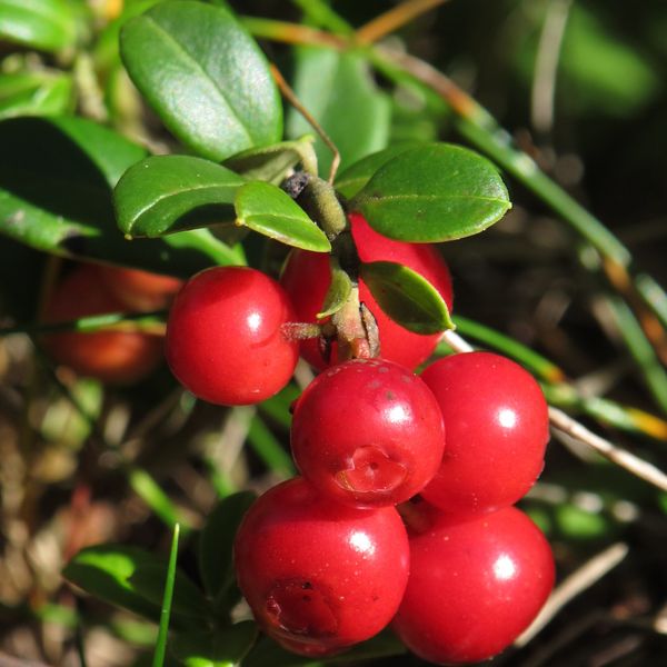
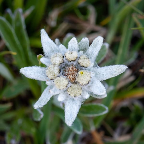
Where to meet it
Trails
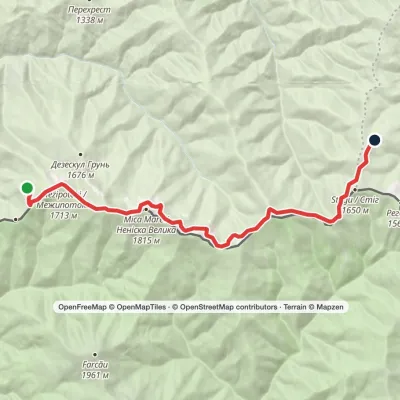 ModerateTwo-dayMarkedMount Mezhypotoky to Radul polonynavia Mount Mika-Mare, Mount Steavul +1Elevation profile1 496–1 815 m17.6 kmascent 525 m≈ 5.5 h walking
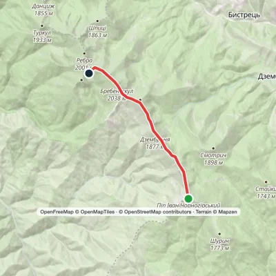 EasyOne-dayMount Pip Ivan Chornohirskyi to Lake Brebeneskulvia Mount Dzembronia, Mount BrebeneskulElevation profile1 799–2 035 m8.8 kmascent 364 m≈ 3 h walking
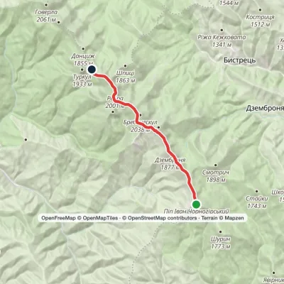 ModerateOne-dayMarkedMount Pip Ivan Chornohirskyi to Lake Nesamovytevia Mount Dzembronia, Mount RebraElevation profile1 742–2 028 m13.3 kmascent 329 m≈ 4 h walking
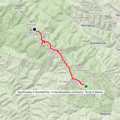 ModerateTwo-dayMarkedVesnarka polonyna to Lake Nesamovytevia Mount Pip Ivan Chornohirskyi, Mount RebraElevation profile1 505–2 028 m18.3 kmascent 1 092 m≈ 7 h walking
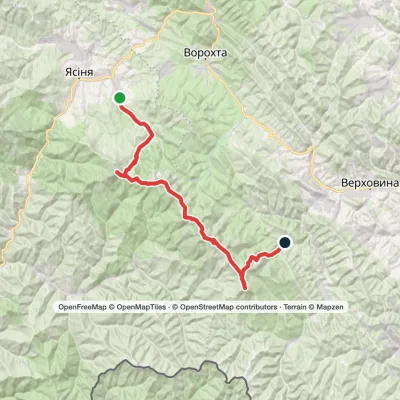 HardMulti-dayMarkedLazeshchyna village to Dzembronia villagevia Mount Petros, Mount Hoverla +2Elevation profile738–2 061 m51.4 kmascent 3 068 m
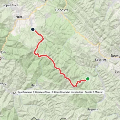 HardMulti-dayMarkedDzembronia village to Lazeshchyna villagevia Mount Pip Ivan Chornohirskyi, Mount Hoverla +1Elevation profile752–1 978 m46.7 kmascent 1 496 m
 HardMulti-dayMarkedYasinia to Luhy villagevia Mount Petros, Mount Hoverla +1Elevation profile628–2 061 m61.4 kmascent 3 194 m
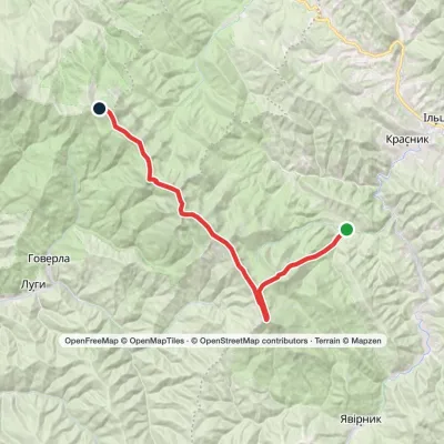 HardMulti-dayDzembronia village to Mount Hoverlavia Mount Pip Ivan ChornohirskyiElevation profile815–2 061 m26.8 kmascent 2 459 m≈ 11.5 h walking
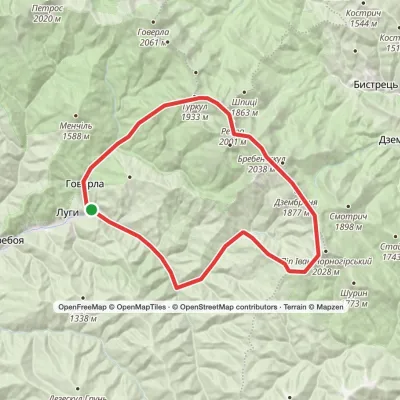 HardMulti-dayLuhy village to Hoverla villagevia Mount Pip Ivan Chornohirskyi, Mount Dzembronia +2Elevation profile646–2 035 m38.9 kmascent 2 326 m
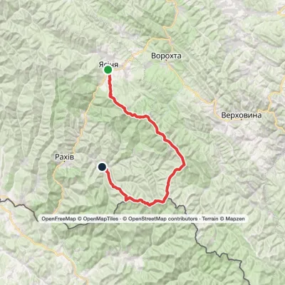 HardMulti-dayMarkedYasinia to Bohdan villagevia Mount Petros, Mount Hoverla +2Elevation profile531–2 061 m79.3 kmascent 3 795 m
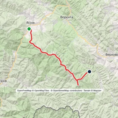 HardMulti-dayYasinia to Dzembronia villagevia Mount Petros, Mount Hoverla +2Elevation profile663–2 061 m47.2 kmascent 3 548 m
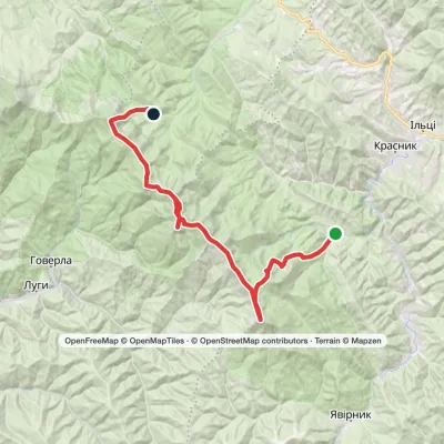 HardMulti-dayMarkedDzembronia village to Zaroslyak basevia Mount Pip Ivan Chornohirskyi, Mount Rebra +1Elevation profile821–2 061 m35 kmascent 2 513 m≈ 14 h walking
Peaks and meadows
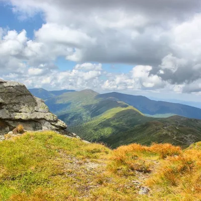 PeakMount SteavulBohdanaltitude 1 752 m · Marmarosh range30 trails to the topSteavul (also known as Shchaul, Shaul) is a 1752-meter peak in the Ukrainian Carpathians, which lies in the Rakhiv...
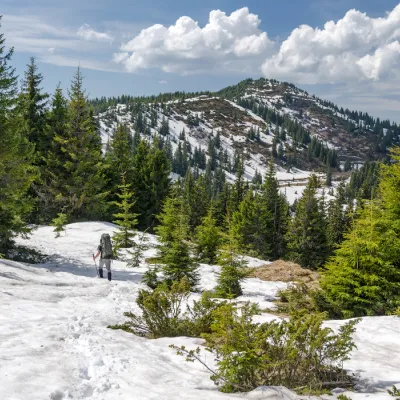 PeakMount BirsenscuBohdanaltitude 1 670 m · Marmarosh range30 trails to the topMount Byrsnesesku is a 1,670-meter peak in the Ukrainian Carpathians, located in the Rakhiv district of Zakarpattia...
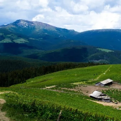 PeakMount Mika-MareBohdanaltitude 1 815 m · Marmarosh range30 trails to the topMount Mika Mare (Neneska, Neniska - translated from the Hutsul dialect as "aunt") is one of the peaks of the...
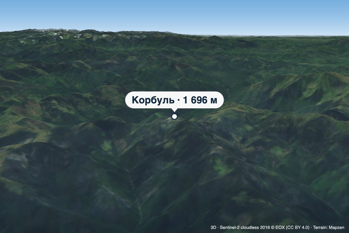 PeakMount KorbulLuhyaltitude 1 696 m · Marmarosh rangeKorbul is a 1,696 m summit in the Ukrainian part of the Marmarosh Massif (the Hutsul Alps), in the Rakhiv district of...
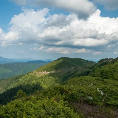 PeakMount Mala NenieskaBohdanaltitude 1 818 m · Marmarosh range30 trails to the topMala Neneska (Neniska Mala) is a peak in the Ukrainian Carpathians, lying in the Hutsul Alps of the Marmarosh...
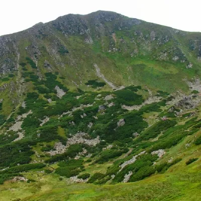 PeakMount BrebeneskulBystretsaltitude 2 035 m · Chornohora range71 trails to the topBrebeneskul (2035 m) is the second highest mountain in Ukraine, in the middle of the main Chornohora ridge.
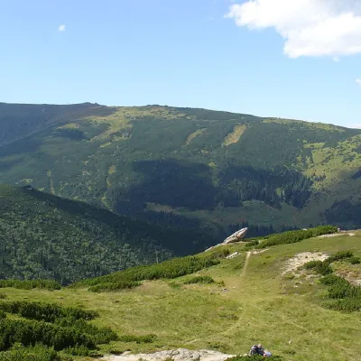 PeakMount MenchulDzembroniaaltitude 1 998 m · Chornohora range69 trails to the topMenchul (1998 m) is a peak in the south-eastern part of the main Chornohora ridge, 1.4 km from Brebeneskul; its...
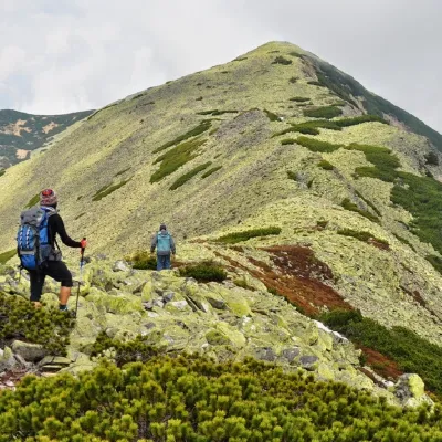 PeakDovbushanka MountainBystrytsiaaltitude 1 754 m · Gorgany range16 trails to the topMount Dovbushanka is a 1,754-meter peak of the Ukrainian Carpathians, located in the Gorgan mountain range on the...
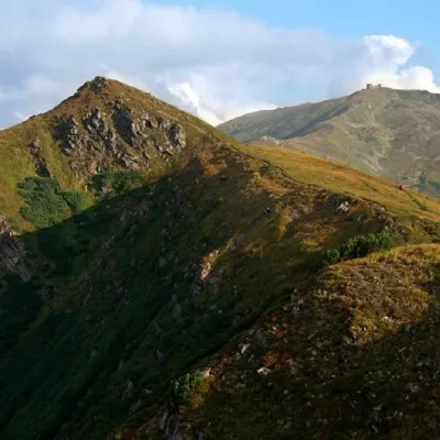 PeakMount DzembronyaDzembroniaaltitude 1 877 m · Chornohora range68 trails to the topMount Dzembronia, with a height of 1877 meters, is one of the most famous peaks of the Ukrainian Carpathians, located...
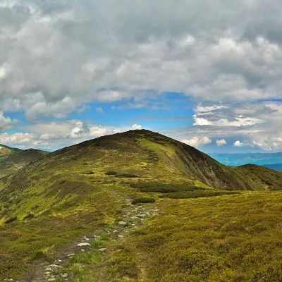 PeakMount DantsizhBystretsaltitude 1 850 m · Chornohora range89 trails to the topDantsizh (also known as Danzer) is a peak of the Ukrainian Carpathians, 1850 meters high.
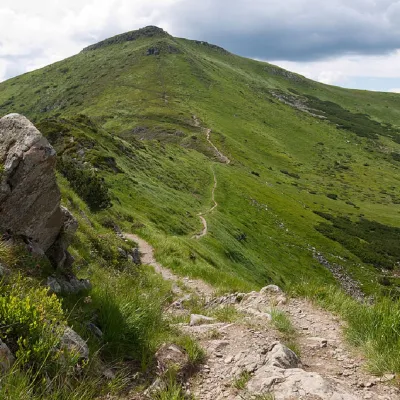 PeakMount TurkulBystretsaltitude 1 933 m · Chornohora range93 trails to the topTurkul, 1933 meters high, is one of the peaks of the Ukrainian Carpathians, located in the Chornohora mountain range.
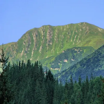 PeakMount RebraBystretsaltitude 2 001 m · Chornohora range91 trails to the topRebra (2001 m) is a peak in the central part of the main Chornohora ridge, on the border of the Ivano-Frankivsk and...
Waters and waterfalls
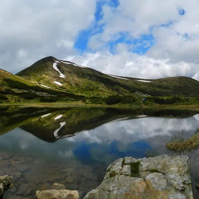 LakeHigh-mountainous Lake Nesamovite (1750 m.a.s.l., Chornohora ridge)VorokhtaNesamovyte is one of the highest lakes in the Ukrainian Carpathians (1750 m above sea level).
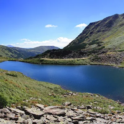 LakeLake BrebeneskulLuhyBrebeneskul is the highest mountain lake in the Ukrainian Carpathians (1801 m above sea level), a hydrological...
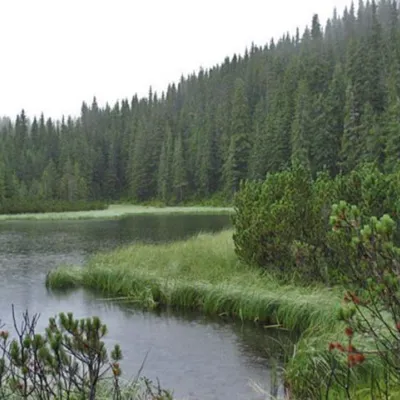 LakeLake MaricheykaYavirnyk (Shybene)Lake Maricheyka is one of the most picturesque high-altitude glacial lakes in the Carpathians, located on the...
Mountain ranges: Chornohora, Maramureș Mountains, Svydovets, Gorgany
Trails and peaks near which naturalists recorded the species (GBIF, iNaturalist), matched by altitude and habitat. Sightings are not guaranteed.
Sources
- Вікіпедія: Рододендрон карпатський
- Wikipedia (en): Rhododendron myrtifolium
- Наказ Міндовкілля від 15.02.2021 № 111: Перелік видів рослин та грибів, що заносяться до Червоної книги України
- GBIF: список рослин і грибів Червоної книги України за наказом № 111 (з категоріями)
GBIF · iNaturalist · Wikidata · Distribution data: GBIF.org (CC0 and CC BY records), iNaturalist; names and identifiers: Wikidata (CC0). Text: Karpaty.rocks, checked 09.11.2026.
