Grey alder
About
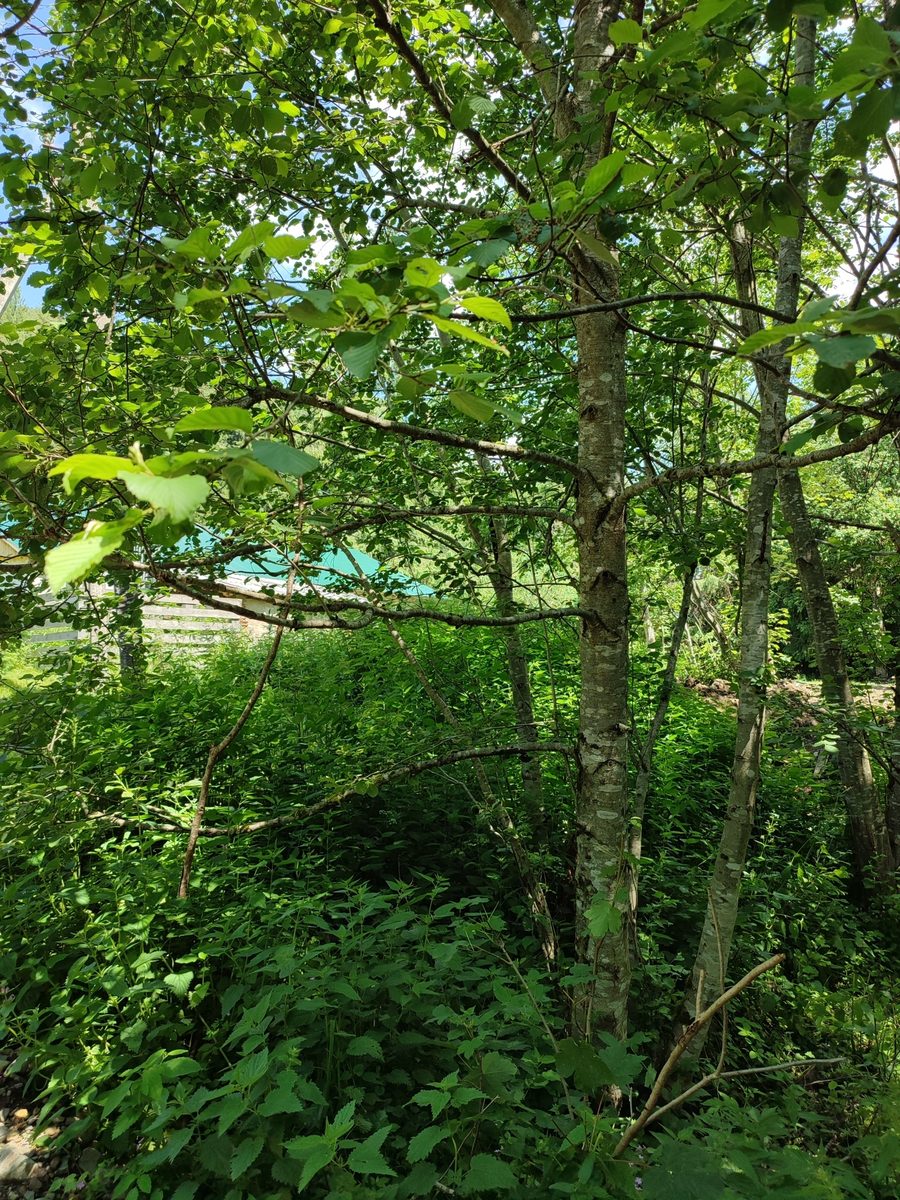
Grey alder is a tree of mountain river valleys. In Ukraine, it occurs in Transcarpathia, in the Carpathians, and in Prykarpattia, as well as in Polissia. In Central Europe, grey alder inhabits deposits along mountain rivers and streams, rising to an altitude of about 1500 m. It grows in swampy forest edges, near wetlands and riverbanks, and often forms dense thickets of small trees and shrubs — these strips are most commonly seen along Carpathian streams.
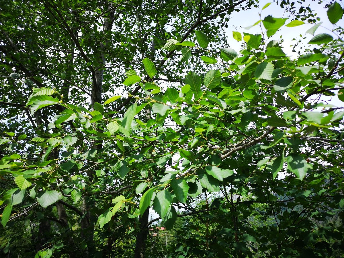
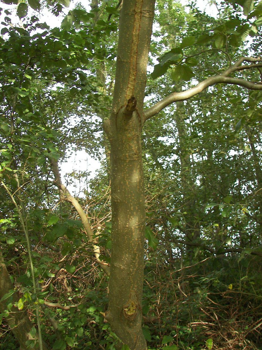
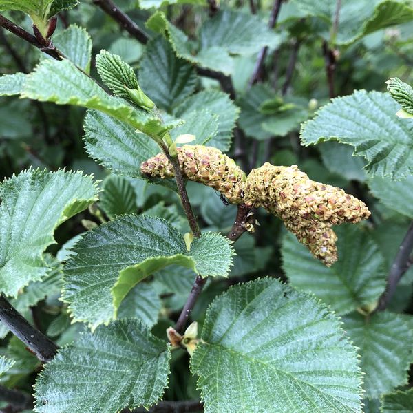
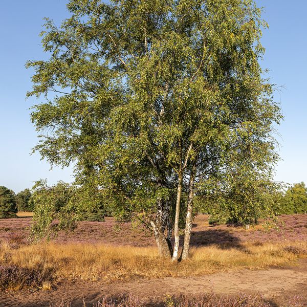
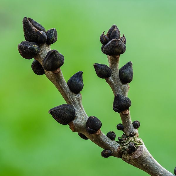
This small tree or shrub reaches a height of 5–15 m, with smooth grey bark even in old age; it has a short lifespan of up to 60–100 years. Grey alder can be easily distinguished from black alder: its buds and shoots are not sticky, and its leaves are ovate, pointed, with a doubly serrated edge, greyish and hairy underneath, measuring 5–11 cm in length. The seeds are small, 1–2 mm, with a narrow wing. Grey alder flowers in March–April with catkins, and small cones ripen in September–October.
Grey alder is light-loving and quickly colonizes free spaces. In the Polish Bieszczady and Low Beskids, after World War II, it covered about 30,000 hectares of abandoned fields and pastures in a short time.
Grey alder is not listed in the Red Book of Ukraine, however, four rare grey alder communities of the Carpathians with an undergrowth of Carpathian lilac are included in the Green Book of Ukraine.
Where in the Carpathians

The map shows where naturalists recorded the species (GBIF, CC0 and CC BY records), not every place it lives. The Ukrainian Carpathians are less studied, so a blank area does not mean the species is absent.
- Countries
- Slovakia · Czechia · Poland · Ukraine · Romania
- Mountain ranges
- High Tatras, Greater Fatra, Slovak Ore Mountains, Low Tatras, Moravian-Silesian Beskids, Żywiec Beskids, Western Tatras, Volovec Mountains, Lesser Fatra, Spiš Magura
- Altitude belts
- Foothills (below 600 m) · Beech forests (600–1200 m)
When to see it
| Jan | Feb | Mar | Apr | May | Jun | Jul | Aug | Sep | Oct | Nov | Dec | |
|---|---|---|---|---|---|---|---|---|---|---|---|---|
| Fruit |
From naturalists’ observations in the Carpathians (iNaturalist, research grade): the darker the cell, the more often the species is seen that month.
Protection and rules
Not listed in the Red Book of Ukraine; rare grey alder communities of the Carpathians are in the Green Book of Ukraine.
FAQ
How to distinguish grey alder from black alder?
Grey alder has non-sticky buds and shoots, pointed leaves that are greyish and hairy underneath, and smooth bark even in old trees. Black alder has blunt, sticky leaves, and dark, cracked bark.
Where do grey alders grow in the Carpathians?
Most often along mountain rivers and streams, in moist forest edges, as well as in abandoned meadows and fields.
Similar species
Where to meet it
Trails
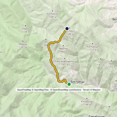 ModerateTwo-dayMarkedBystrets village Mount Kostrychvia Psarivka polonynaElevation profile816–1 516 m15 kmascent 732 m≈ 5 h walking
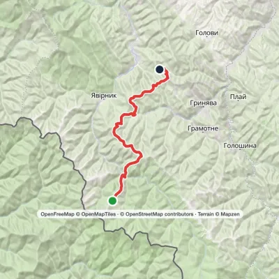 HardMulti-dayMount Chyvchyn to Stovpni Horishni villagevia the Pnivie ridge, the Vatunarka ridge +1Elevation profile975–1 540 m32.5 kmascent 1 323 m≈ 11 h walking
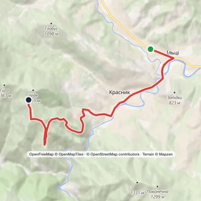 ModerateOne-dayIltsi village Vesnarka polonynaElevation profile636–1 262 m9.8 kmascent 656 m≈ 4 h walking
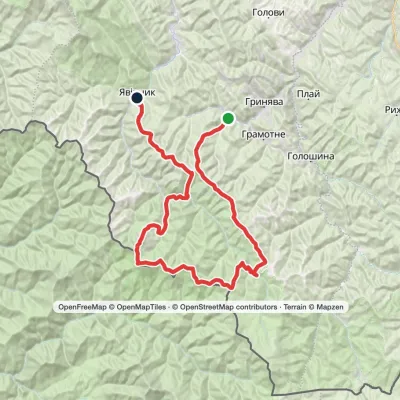 HardMulti-dayProbiinivka village to Shybene villagevia Mount Tarnytsia, Mount Pnivie +1Elevation profile797–1 766 m68.4 kmascent 2 793 m
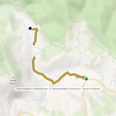 EasyOne-dayMarkedNo. 5047 «Settlements», Zavadka villageElevation profile643–673 m2.9 kmascent 3 m≈ 45 min walking
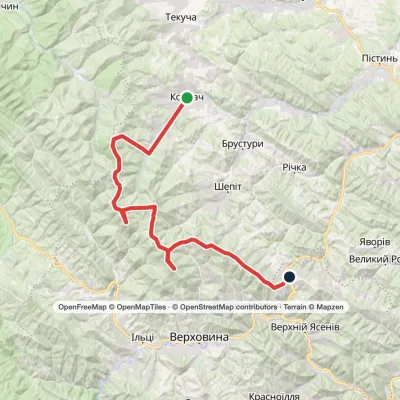 HardMulti-dayKosmach village to Bukovets villagevia Mount Rotylo, Mount Hrehit +1Elevation profile615–1 474 m40.2 kmascent 2 290 m
 ModerateOne-dayMount Dovbushanka Polianytsia villageElevation profile900–1 703 m12.2 kmascent 250 m≈ 3.5 h walking
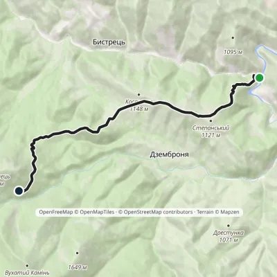 ModerateOne-dayMarkedBystrets turn-off Chufrova polonynaElevation profile697–1 386 m9.4 kmascent 876 m≈ 4 h walking
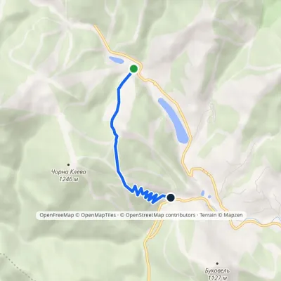 EasyOne-dayMarkedBukovel: «Parkovyi» trailElevation profile901–1 168 m3.1 kmascent 232 m≈ 1 h walking
 HardTwo-dayPolianytsia village loopvia Mount DovbushankaElevation profile894–1 754 m22.3 kmascent 1 419 m≈ 8.5 h walking
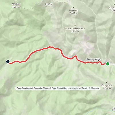 EasyOne-dayBystrets village Hadzhyna polonynaElevation profile778–1 219 m7.9 kmascent 440 m≈ 3 h walking
 ModerateOne-dayPolianytsia village Mount DovbushankaElevation profile887–1 754 m13.4 kmascent 1 061 m≈ 5.5 h walking
Peaks and meadows
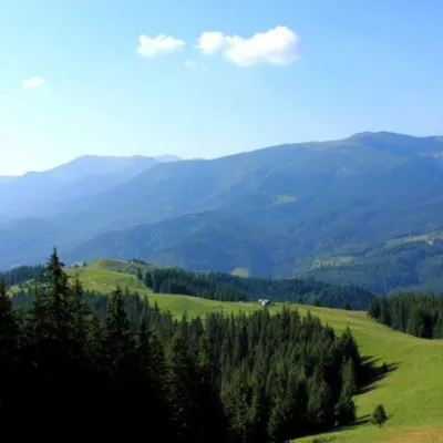 Mountain meadowPolonyna Psarivka, BystretsVerkhovynaUkrainians, for example, call such meadows polonyny. Today we will talk about the Psarivka meadow.
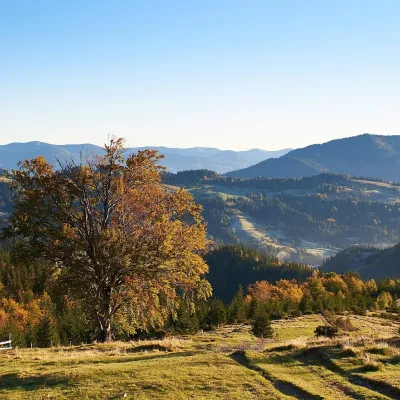 Mountain meadow1 200 mPolonyna SmotrychDzembroniaSmotrych Polonyna is a summer mountain pasture on the north-eastern spur of Mount Smotrych (1,898 m) in the...
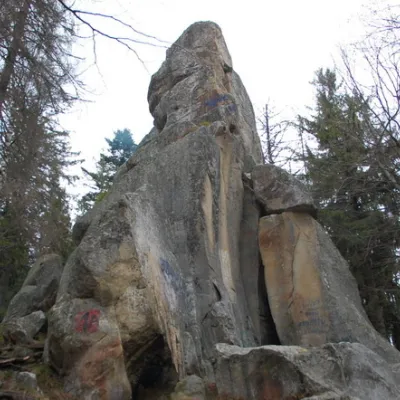 PeakWhite Stone RockDoraaltitude 538 m7 trails to the topThe White Stone Rock is located in the village of Dora in the Carpathians and is one of the most prominent natural...
Mountain ranges: Bieszczady. In other countries: 🇸🇰 High Tatras, 🇸🇰 Greater Fatra, 🇸🇰 Slovak Ore Mountains, 🇸🇰 Low Tatras, 🇨🇿 Moravian-Silesian Beskids, 🇵🇱 Żywiec Beskids, 🇸🇰 Western Tatras, 🇸🇰 Volovec Mountains, 🇸🇰 Lesser Fatra, 🇸🇰 Spiš Magura, 🇵🇱 Pieniny, 🇸🇰 Kysuce Beskids, 🇸🇰 Slovak Paradise
Trails and peaks near which naturalists recorded the species (GBIF, iNaturalist), matched by altitude and habitat. Sightings are not guaranteed.
Sources
- Вікіпедія: Вільха сіра
- Wikipedia (en): Alnus incana
- Wikipedia (pl): Olsza szara
- Перелік видів рослин та грибів, що заносяться до Червоної книги України (наказ Міндовкілля від 15.02.2021 № 111, z0370-21)
- GBIF: Червона книга України — рослини й гриби (набір даних)
- GBIF: таксон і категорія МСОП
GBIF · iNaturalist · Wikidata · Distribution data: GBIF.org (CC0 and CC BY records), iNaturalist; names and identifiers: Wikidata (CC0). Text: Karpaty.rocks, checked 09.11.2026.
