Mount Tsetsyno
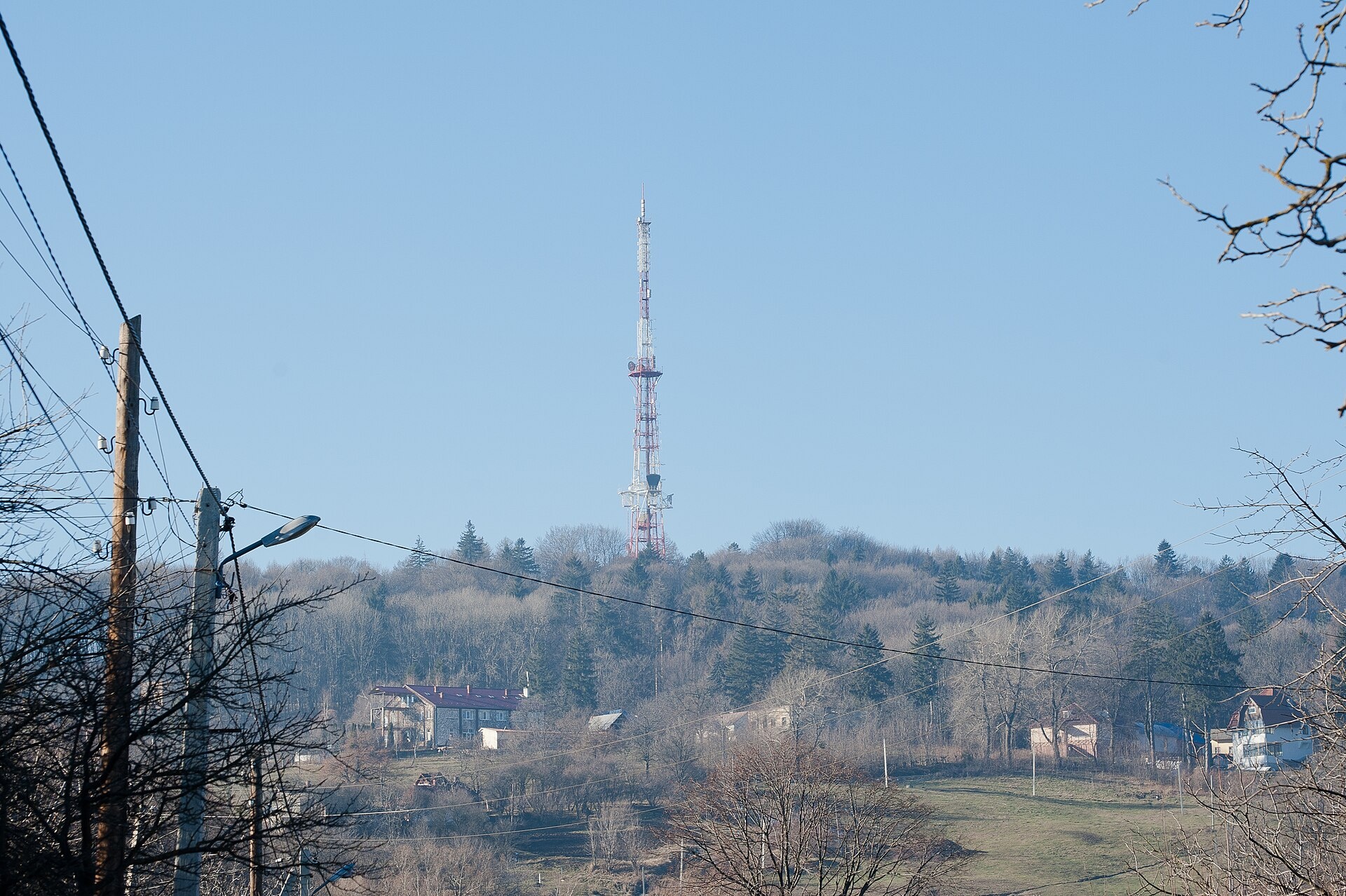
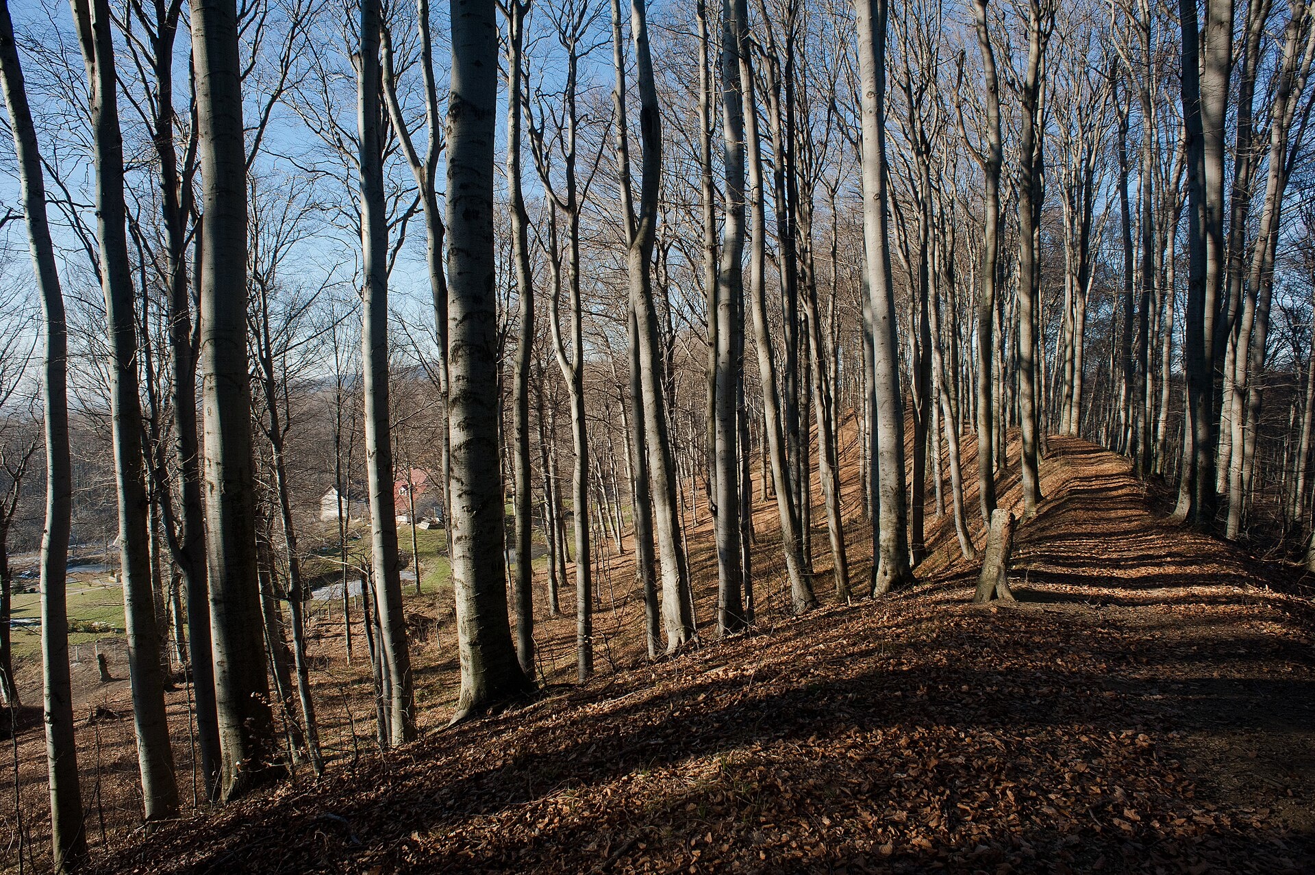
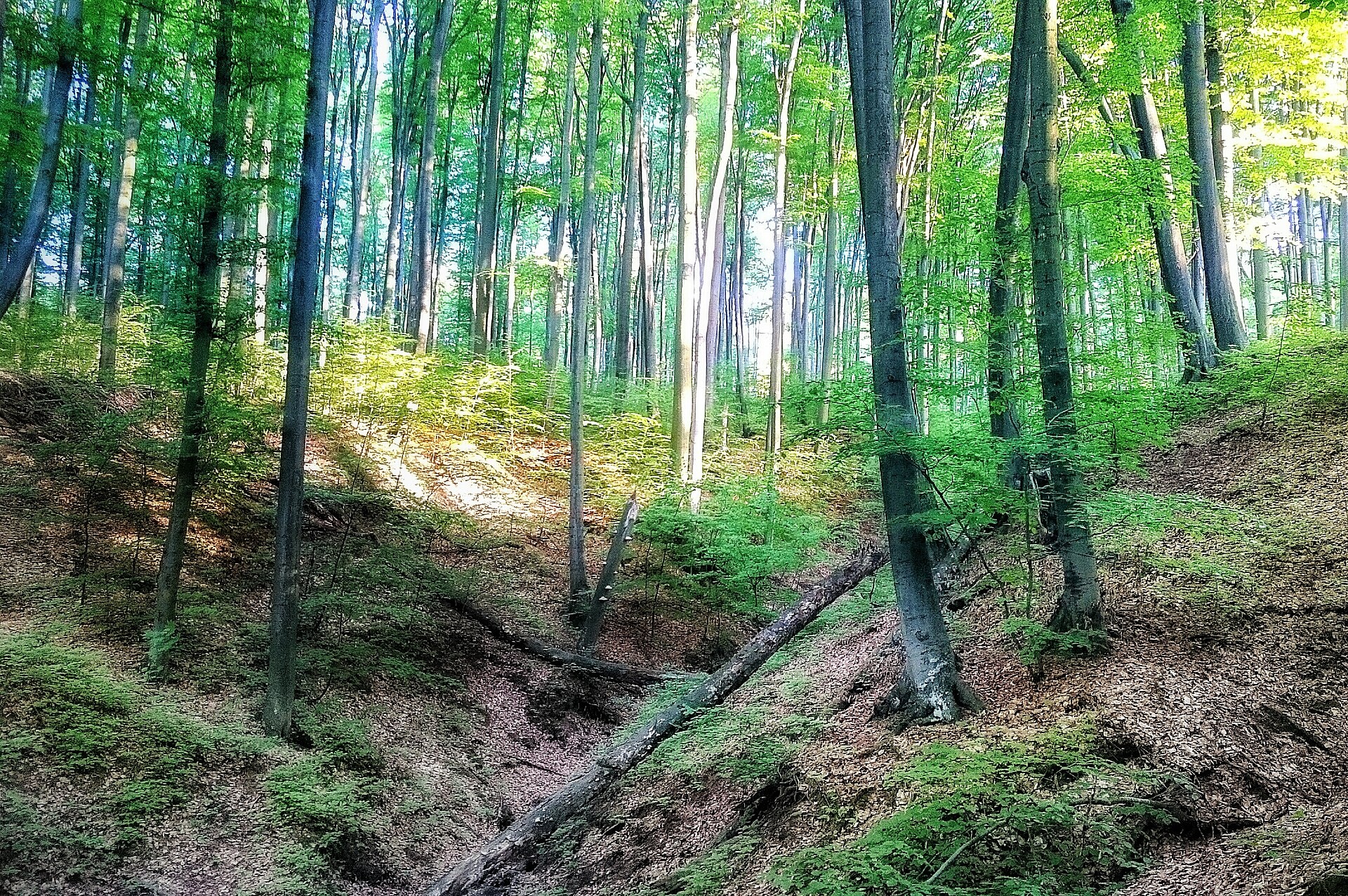
Tsetsyno is the highest hill of the Chernivtsi Upland, 537 m high (538 m according to other data). It rises on the western outskirts of Chernivtsi, near the Rosha neighbourhood, and gave its name to a locality on the edge of the city. Its slopes are gentle and the summit is dome-shaped. It is not a Carpathian peak in the strict sense, but for the people of Chernivtsi it is the nearest “mountain” and a favourite place for walks.
The slopes are covered by the Tsetsyno landscape reserve of national importance, 430 ha in area and created in 1974. Old-growth beech forests dominate, mixed with sessile and pedunculate oak, Norway maple, sycamore and hornbeam.
How to get there
Tsetsyno is part of the city's green belt, so you can walk here straight from Chernivtsi: forest roads of the reserve lead from the western outskirts to the summit. There is no separate waymarked route on our site yet. The walk to the top and back takes a few hours, which makes it a good Sunday outing with children.
Water, shelter and safety
Our map shows no springs here, so bring water. Chernivtsi is the natural place to stay. Despite the nearby city it is easy to get lost in the forest, especially at dusk, so carry a charged phone and an offline map. The reserve is protected by the state: light fires only where permitted and do not pick plants. In an emergency call 112 or 101; contacts of the mountain rescue units are on our mountain rescue page.
Interesting facts
- The hill is named after the Tsetsyno fortress built on its summit in the 14th century; in the 14th–15th centuries the hillfort played an important role in the Shypyntsi land of the time. Sources from the 19th and early 20th centuries record a feminine form of the name, Tsetsyna.
- The Chernivtsi TV tower was built on the summit in the 1960s.
- Red Data Book plants grow in the reserve, including wild garlic, deadly nightshade and the lady's slipper orchid.
Photos: LorikNov, CC BY-SA 3.0; Bukovynka, CC BY-SA 4.0; Korporacia, CC BY-SA 4.0 — Wikimedia Commons.
Location on the map
Comments
Places to stay nearby
 HotelHotel "Pride" Mykulychyn6.1 km from Mount TsetsynoHotel "Pride" is located in the village of Mykulychyn, 9 km from Chernivtsi and 41 km from the "Myhovo" resort.Nearby: St. John's Church 1000 mChurch of St. John of Dukla 5.4 km
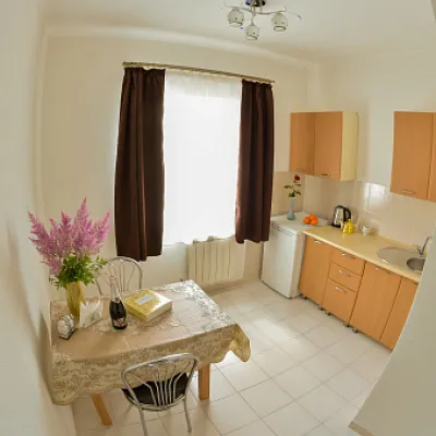 Hostel"Grand Hostel" Chernivtsi Prutska, 247.1 km from Mount TsetsynoParkingWi‑FiTransferNearby: Armenian Church 1.5 kmHouse-ship 900 m
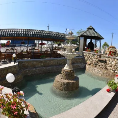 HotelHotel "Kolvik" Mamaivtsi7.3 km from Mount TsetsynoBBQKidsNearby: Assumption Church 2.2 kmChurch of St. John of Dukla 2.2 km
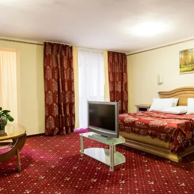 HotelHotel "Bukovyna" Chernivtsi ****7.8 km from Mount TsetsynoPoolSaunaSPANearby: Armenian Church 1.3 kmSoborna Square 1.4 km
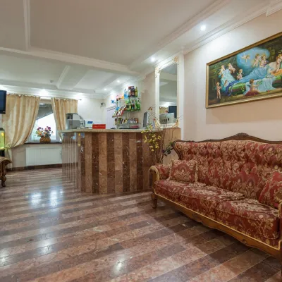 HotelHotel "LeoTon" Chernivtsi9.8 km from Mount TsetsynoParkingWi‑FiTransferNearby: Armenian Church 3.2 kmSoborna Square 3.4 km
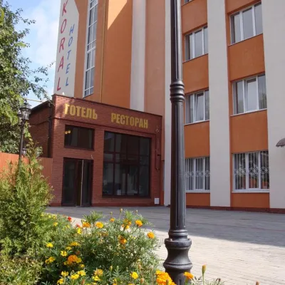 HotelHotel-Restaurant Complex "Koral" Chernivtsi10 km from Mount TsetsynoSaunaBBQParkingNearby: Armenian Church 2.8 kmSoborna Square 3.2 km
Trails nearby
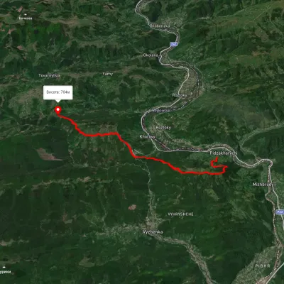
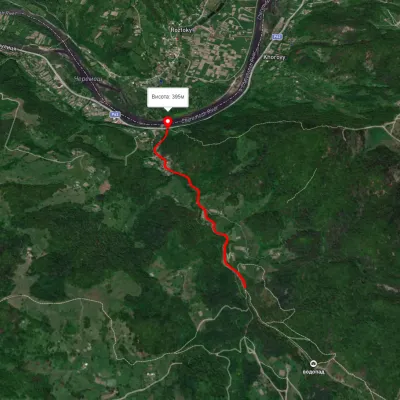
Nearby attractions
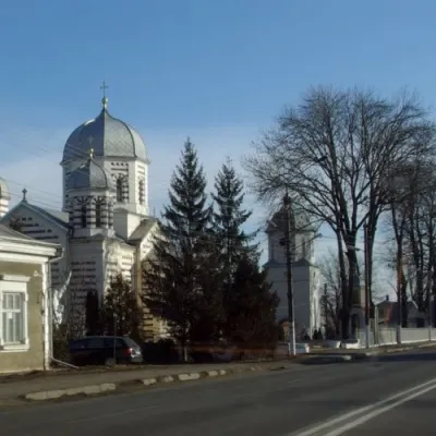 SightThe Church of the Intercession of the Blessed Virgin Mary, Mamayivtsi6.3 km from Mount TsetsynoOne such church is the Intercession Church in the village of Mamayivtsi. The village of Mamayivtsi historically consisted of two villages - Staryi and Novyi Kut.
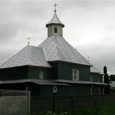 ChurchSt. John's Church, Mamayivtsi6.3 km from Mount TsetsynoThe first mention of a church in the village dates back to 1773. The document referred to the existence of a wooden church, which was also named after St.
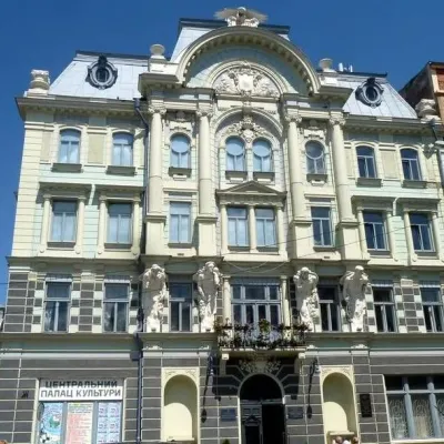 ArchitectureJewish People's House, Chernivtsi6.6 km from Mount TsetsynoThe Jewish People's House in Chernivtsi is a building built in the early twentieth century by the Jewish religious community that became the center of Jewish cultural...