Deadly nightshade
Never eat berries you are not sure about and never give unknown berries to children. In case of poisoning call 112 (103 in Ukraine).
About
Deadly nightshade is one of the most poisonous plants in Europe. In Ukraine, it occurs in the Carpathians, in the Crimean Mountains, in Roztocze, Opillia, and in the western Forest-Steppe. In the Carpathians, it can be found in clearings, glades, forest edges, and along forest roads in beech and mixed forests.
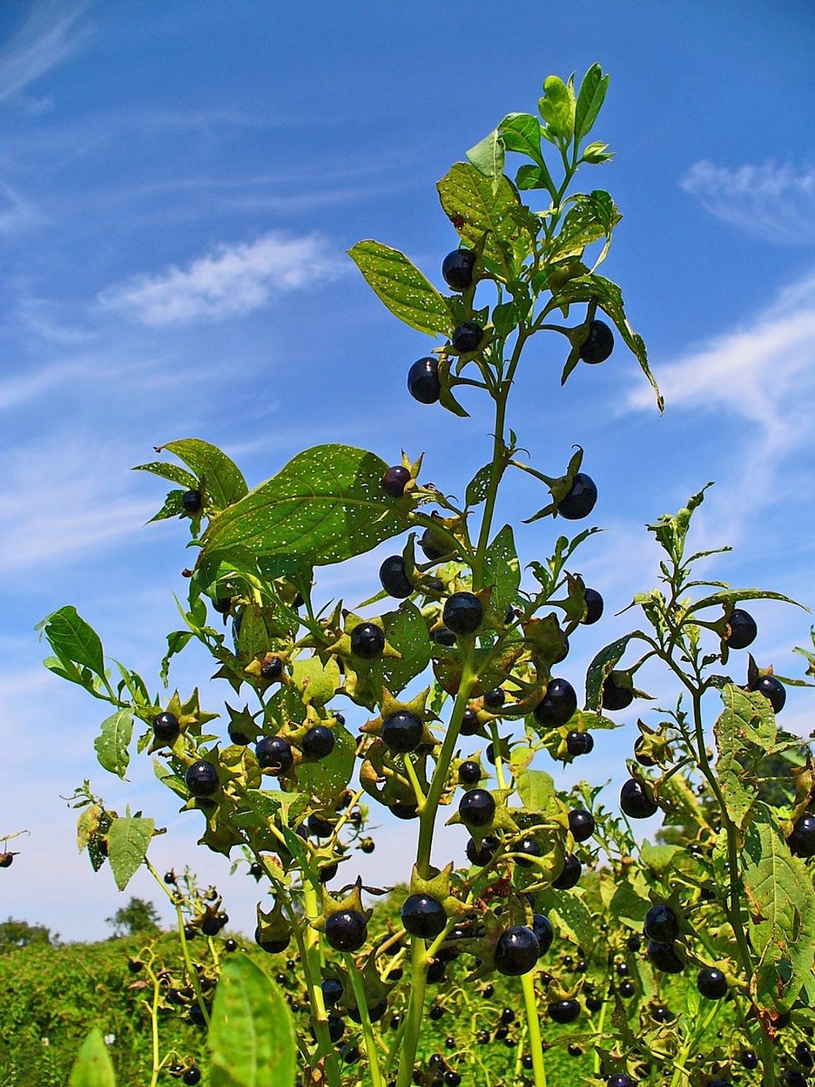
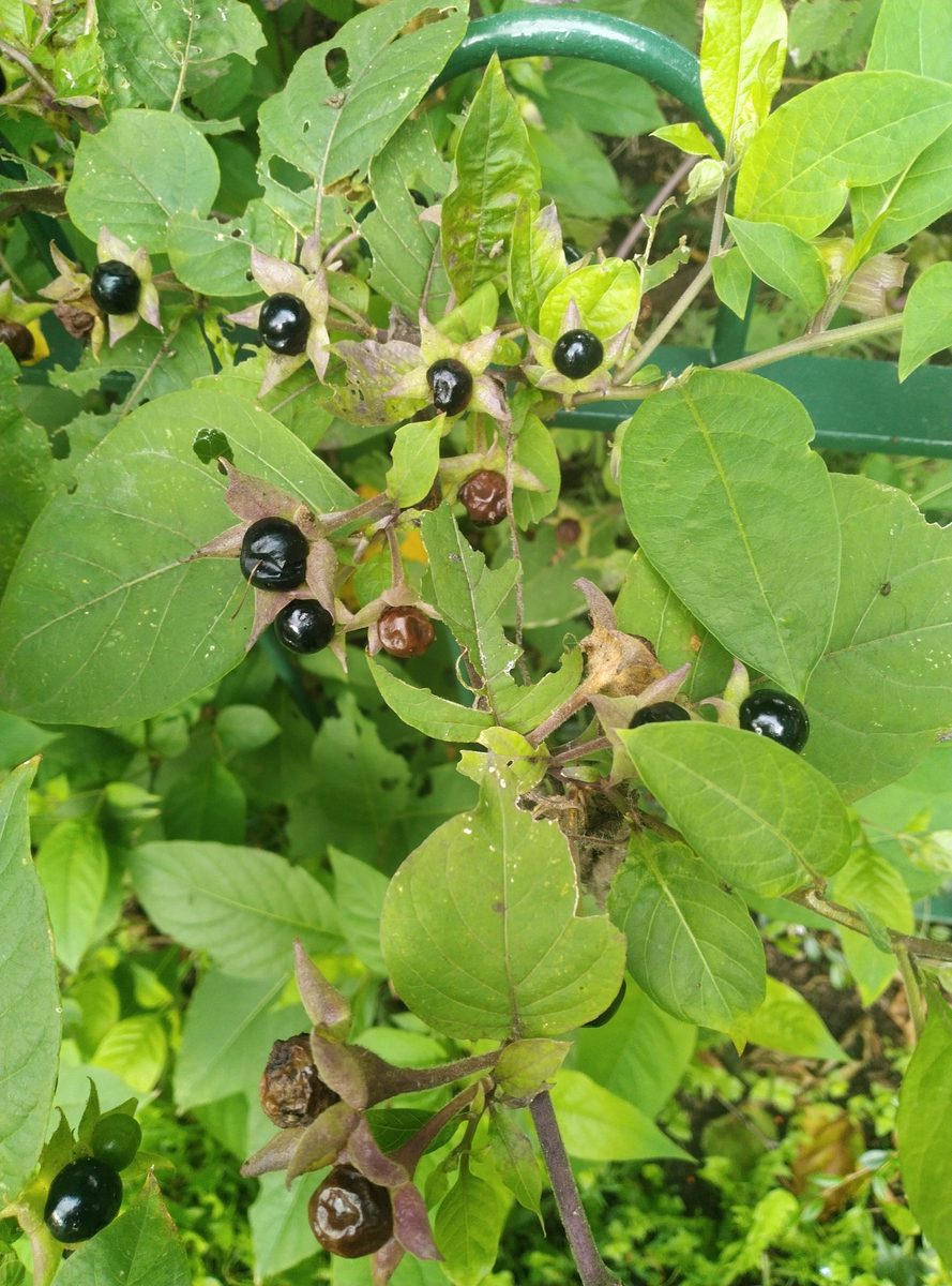
It is a perennial herbaceous plant 0.5–2 m tall with a sprawling stem. The leaves are large, oval, pointed, often sitting in pairs — a large one next to a smaller one. The flowers are solitary, bell-shaped, brownish-purple, with a yellowish interior, appearing from June to August.
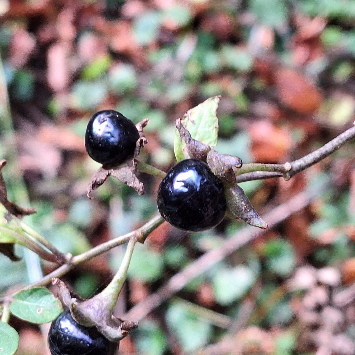
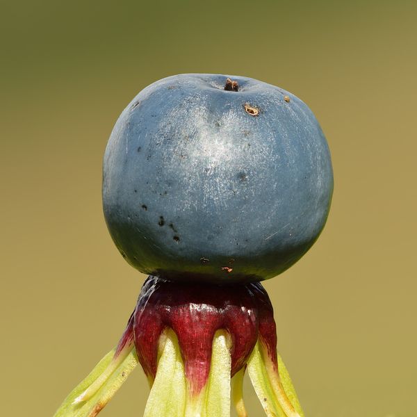
The berry is shiny, black, the size of a cherry, sitting alone in a wide star-shaped calyx made up of five green segments. It ripens in August to September and has a sweetish taste, making it particularly dangerous for children. All parts of the plant contain tropane alkaloids: poisoning manifests as dry mouth, dilated pupils, skin redness, rapid heartbeat, agitation, and hallucinations.
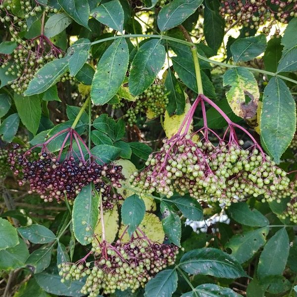
The black berry of deadly nightshade is confused with blueberries or cherries, and also with small clusters of black nightshade. The main differences are: tall grass, solitary large shiny berries, and a star-shaped calyx.
Deadly nightshade is listed in the Red Data Book of Ukraine with the status of "vulnerable". Therefore, the plant cannot be collected or destroyed — it is enough to recognize it and avoid it.
Where in the Carpathians

The map shows where naturalists recorded the species (GBIF, CC0 and CC BY records), not every place it lives. The Ukrainian Carpathians are less studied, so a blank area does not mean the species is absent.
- Countries
- Slovakia · Czechia · Ukraine · Hungary · Romania · Poland · Austria · Serbia
- Mountain ranges
- Moravian-Silesian Beskids, White Carpathians, Pokuttia-Bukovina Carpathians, Bükk, Kysuce Beskids, Low Tatras, Slovak Ore Mountains, Rivna Polonyna, Slovak Paradise, Little Carpathians
- Altitude belts
- Foothills (below 600 m) · Beech forests (600–1200 m)
When to see it
| Jan | Feb | Mar | Apr | May | Jun | Jul | Aug | Sep | Oct | Nov | Dec | |
|---|---|---|---|---|---|---|---|---|---|---|---|---|
| Flowering | ||||||||||||
| Fruit |
From naturalists’ observations in the Carpathians (iNaturalist, research grade): the darker the cell, the more often the species is seen that month.
Safety
Deadly poisonous: berries, leaves, and roots. The berries are sweetish, making them particularly dangerous for children. After contact with the plant, wash your hands and do not touch your eyes. Do not give unfamiliar berries to children and teach them not to taste anything in the forest without adults. In case of suspected poisoning, call 103 (or 112) and take a branch or berry of the plant with you.
Look-alikes — how to tell them apart
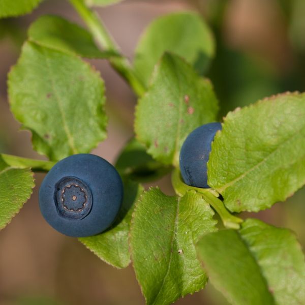
Low shrub up to 50 cm; berries small, matte, with a bluish bloom, without a star-shaped calyx.
Small berries gathered in clusters of several, not solitary; calyx small.
Protection and rules
Listed in the Red Data Book of Ukraine (vulnerable). Collecting and destroying is prohibited.
Admire, don’t pick: plants listed in the Red Data Book of Ukraine — and any plants in nature reserves and strictly protected zones of national parks — must not be collected.
FAQ
Is deadly nightshade found in the Carpathians?
Yes. In Ukraine, deadly nightshade grows in the Carpathians, Crimea, Roztocze, Opillia, and in the western Forest-Steppe, mainly in clearings and forest edges of beech forests.
How to distinguish deadly nightshade from blueberries?
Deadly nightshade is tall grass up to 2 m, its berries are large, shiny, and sit alone in a star-shaped calyx. Blueberries are low shrubs with small matte berries.
Is deadly nightshade listed in the Red Data Book of Ukraine?
Yes, deadly nightshade is in the current list of the Red Data Book of Ukraine with the status of "vulnerable".
Similar species
Where to meet it
Trails
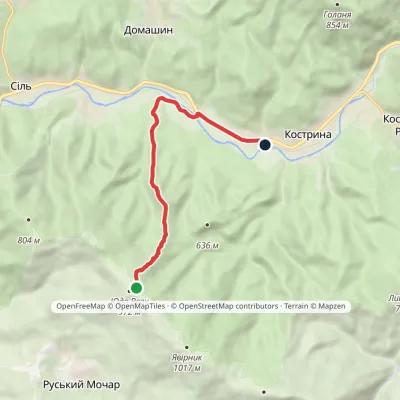 EasyOne-dayMarkedMount Yavirnyk to Kostryno villagevia Dubovyi HaiElevation profile265–947 m8.2 kmascent 30 m≈ 2 h walking
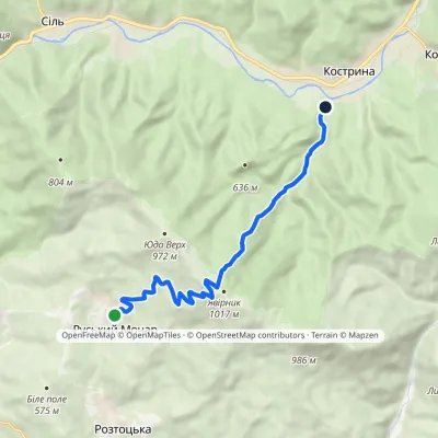 ModerateOne-dayMarkedKostryno Velykyi Bereznyivia Mount YavornykElevation profile297–1 017 m9.5 kmascent 720 m≈ 4 h walking
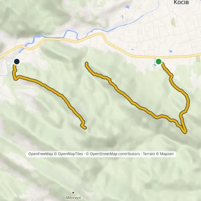 ModerateOne-dayMarkedMount Ostryi Mount Mykhalkiv (yellow trail)Elevation profile382–812 m7.7 kmascent 652 m≈ 3 h walking
 HardMulti-dayKostryno village loopvia Mount Yavirnyk, Mount Krasiia +1Elevation profile278–1 036 m26.8 kmascent 1 384 m≈ 9.5 h walking
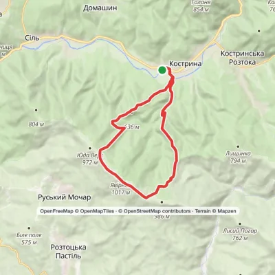 ModerateTwo-dayKostryno village loopvia Mount Yavirnyk, Batsova Yama tractElevation profile278–1 019 m15.8 kmascent 852 m≈ 5.5 h walking
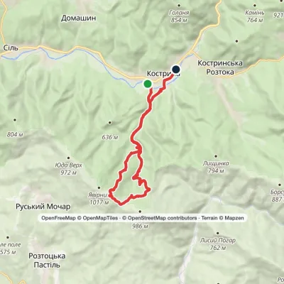 ModerateTwo-dayKostryno village loopvia Mount YavirnykElevation profile280–994 m17.1 kmascent 746 m≈ 6 h walking
 ModerateOne-dayKostryno village Mount KrasiiaElevation profile293–1 016 m9.2 kmascent 765 m≈ 4 h walking
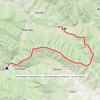 HardTwo-dayStavne village to Kostryno villagevia Mount Bertse, Mount VezhaElevation profile292–1 042 m22.3 kmascent 1 136 m≈ 8 h walking
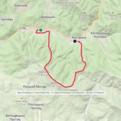 ModerateTwo-daySil village to Kostryno villagevia Mount YavirnykElevation profile255–1 019 m16.6 kmascent 858 m≈ 6 h walking
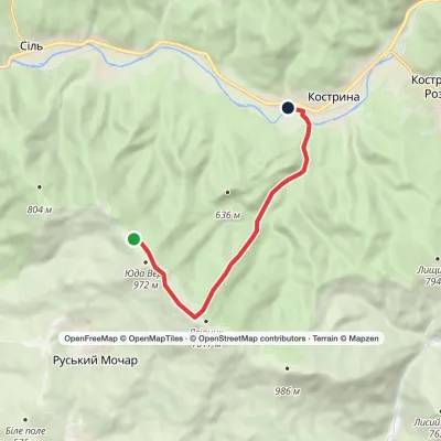 EasyOne-dayKostryno village Mount YavirnykElevation profile278–1 017 m7.4 kmascent 139 m≈ 2 h walking
 HardMulti-dayKostryno village loopvia Mount BorsukElevation profile279–887 m24.8 kmascent 1 200 m≈ 8.5 h walking
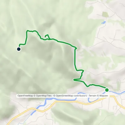 EasyOne-dayMarkedSulphur spring Mount KamenystyiElevation profile380–688 m4 kmascent 308 m≈ 1.5 h walking
Peaks and meadows
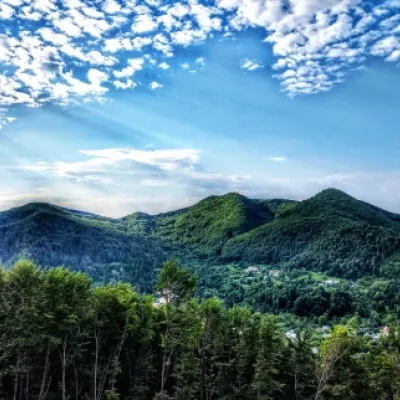 PeakMount Sopka (Stizhky, Zinyakov top).Kosivaltitude 620 m2 trails to the topStizhki (620 meters) offers a panoramic view of the city of Kosiv. The mountain is covered with forests - beech,...
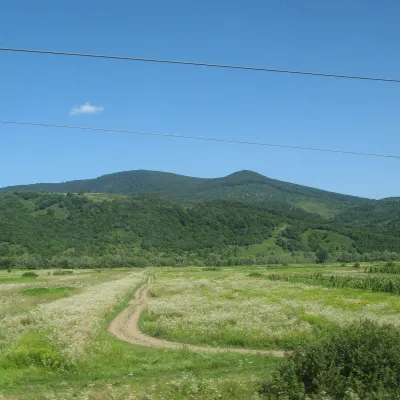 PeakMount DunavkaSyniakaltitude 1 018 m · Volcanic Carpathians rangeDunavka is the highest summit of the Syniak mountain massif, 1,018 m high.
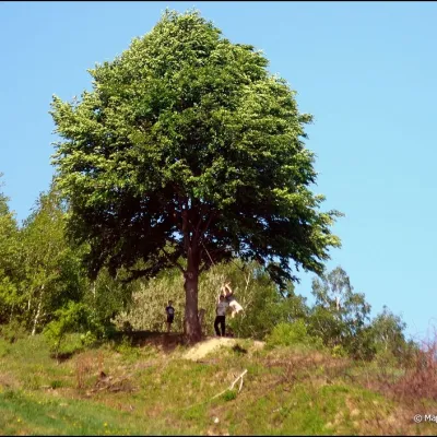 PeakMount KicheraKosivaltitude 567 mThe march to Kichera is an easy walk that all tourists can do. The small length of the march allows you to take your...
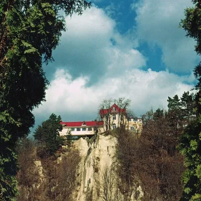 PeakCastle Hill (City)Kosivaltitude 450 mThe top offers a panoramic view of the city. The mountain is home to unique black alpine pines, as well as deciduous...
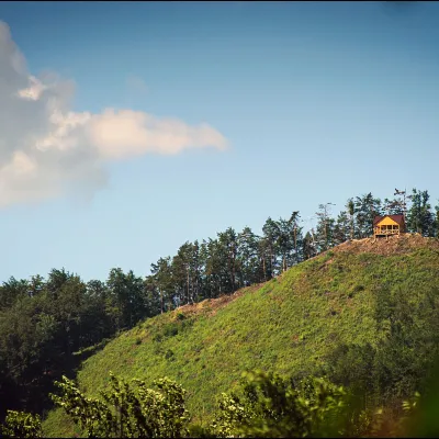 PeakMount Ostry (Ostra)Kosivaltitude 584 m2 trails to the topThe mountain offers wonderful views of the entire Kosiv. The descent is steep, and autumn is magical here.
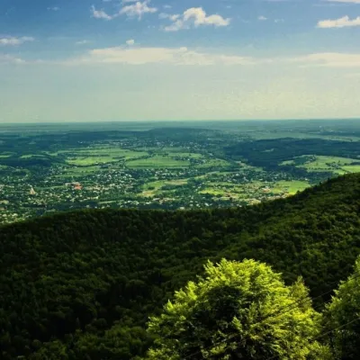 PeakMount Mykhalkova (Kosiv)Kosivaltitude 812 m2 trails to the topMount Mykhalkova (Mykhalkiv), with a height of 812 meters, is part of the Pokuttya Carpathians.
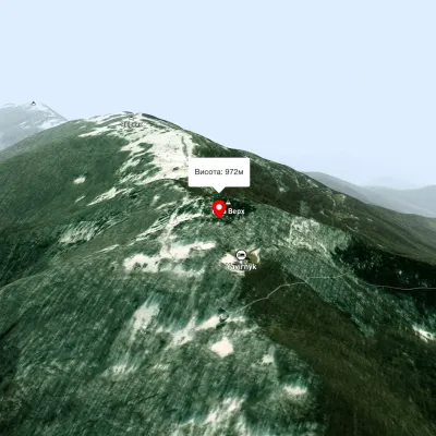 PeakMount Judah TopRuskyi Mocharaltitude 972 mThe top of Mount Judah Top is 972 meters above sea level. The nearest settlements are: Ruskyi Mochar (2.1 km), Sil (4...
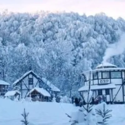 PeakMount TsetsynoChernivtsialtitude 537 mTsetsyno is the highest hill of the Chernivtsi Upland, 537 m high (538 m according to other data).
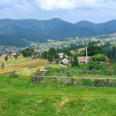 PeakMount OseredokVorokhtaaltitude 915 m · Chornohora range1 trail to the topOseredok is a modest 915 m summit right above Vorokhta (about 2 km), north of the Chornohora range, in Ivano...
Waters and waterfalls
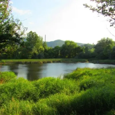 LakeCity Banske Lake (Kosiv)KosivThere are lakes of technogenic origin in the Hutsul mountains. One such lake is Banske Lake (near the former factory ...
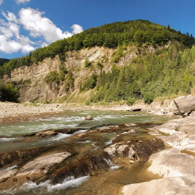 RiverCheremosh RiverVyzhnytsiaThe Cheremosh is born near Usteriky, where the Chornyi Cheremosh and the Bilyi Cheremosh meet.
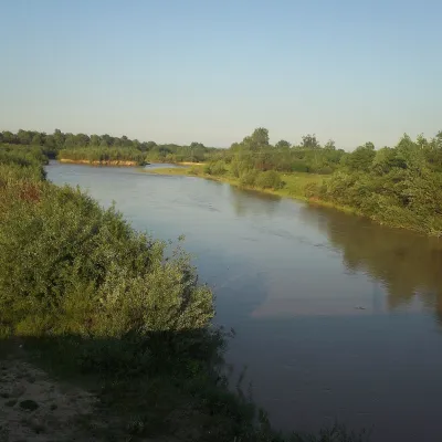 RiverSiret RiverBerehometThe Siret is a major Danube tributary 682 km long, but only its first 123 km lie in Ukraine.
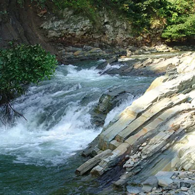 WaterfallKosivskyi Huk WaterfallKosivKosivskyi Huk - one of the most beautiful waterfalls in the Ukrainian Carpathians (in the Pokuttya-Bukovyna...
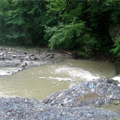 RiverVyzhenka RiverVyzhenkaTheriver Vyzhenka is located in the village of the same name in the Chernivtsi region.
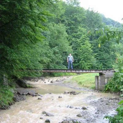 WaterfallMikva waterfallVyzhenkaThe Mykva Waterfall is a small but very picturesque waterfall located in the village of Vyzhenka, Chernivtsi region.
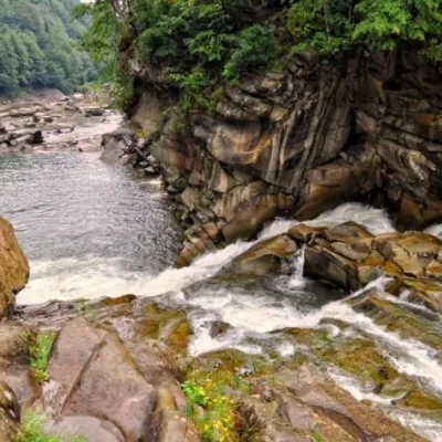 WaterfallProbiy waterfall, YaremcheYaremcheProbiy Waterfall is located in the heart of the Carpathian Mountains, in the city of Yaremche.
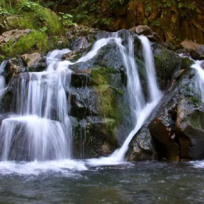 WaterfallKamianka waterfallDubyna"Kamianka Waterfall or Kamianka Waterfall is the most famous waterfall located on the mountain river of the same name...
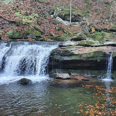 WaterfallKrushelnytskyi waterfallKrushelnytsiaThe real decoration of the mighty Carpathian Mountains is its numerous picturesque waterfalls.
Mountain ranges: Pokuttia-Bukovina Carpathians, Rivna Polonyna, Vihorlat-Gutin Volcanic Ridge. In other countries: 🇨🇿 Moravian-Silesian Beskids, 🇨🇿 White Carpathians, 🇭🇺 Bükk, 🇸🇰 Kysuce Beskids, 🇸🇰 Low Tatras, 🇸🇰 Slovak Ore Mountains, 🇸🇰 Slovak Paradise, 🇸🇰 Little Carpathians, 🇷🇴 Harghita and Gurghiu Mountains, 🇸🇰 Greater Fatra, 🇸🇰 Strážov Mountains
Trails and peaks near which naturalists recorded the species (GBIF, iNaturalist), matched by altitude and habitat. Sightings are not guaranteed.
Sources
- Вікіпедія: Беладона звичайна
- Wikipedia (en): Atropa bella-donna
- Наказ Міндовкілля від 15.02.2021 № 111: Перелік видів рослин та грибів, що заносяться до Червоної книги України
- GBIF: список рослин і грибів Червоної книги України за наказом № 111 (з категоріями)
GBIF · iNaturalist · Wikidata · Distribution data: GBIF.org (CC0 and CC BY records), iNaturalist; names and identifiers: Wikidata (CC0). Text: Karpaty.rocks, checked 09.11.2026.
