Mount Dunavka
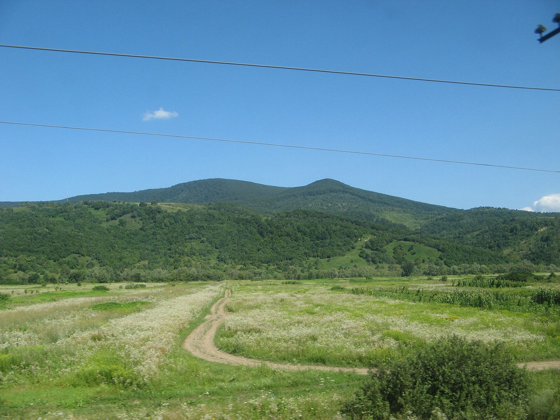
Dunavka is the highest summit of the Syniak mountain massif, 1,018 m high. Syniak is part of the Vyhorlat-Gutin volcanic ridge and lies within the Mukachevo, Svaliava and (partly) Perechyn districts of Zakarpattia Oblast, on the right bank of the Latorytsia river. The nearest settlement to the summit is the village of Syniak (about 3.8 km in a straight line), with Pavlovo a little further.
The massif stretches 18–20 km from west to east and 22 km from north to south. To the east it borders the Svaliava basin, to the west the Makovytsia ridge. Most heights here are 900–1,000 m: besides Dunavka there are Serednii Verkh, Solochynskyi Dil, Plishka and Obavskyi Kamin. The crests are mostly sharp, in places dome-shaped, and the steep slopes are cut by small river valleys and ravines.
How to get there
Our site does not yet have a marked route to Dunavka itself. The most convenient start is the spa village of Syniak, from where paths and forest roads lead to the surrounding summits of the massif. Download a track and an offline map before you go — the slopes are densely forested, so there are few landmarks on the way.
Water, shelter and safety
Our map shows no springs or huts within 2.5 km of the summit, so bring water with you. The best place to stay is the village of Syniak with its spa facilities. The slopes of the massif are steep; after heavy rain landslides and floods occur here, so it is better not to go out in bad weather. In an emergency call 112 or 101 — the mountain rescue units of Zakarpattia work around the clock.
Interesting facts
- The Syniak massif is built of effusive (volcanic) and flysch rocks.
- Oak and beech forests grow up to 600 m, above them beech forests with a small admixture of conifers.
- The natural mineral waters of the massif are used by the Syniak and Karpaty climatic and balneological spas.
- The Syniak Regional Landscape Park was created here; protected sites include the Blue Lake, the Syniak sphagnum bog and the Skakalo waterfall.
Photos: MSha, CC BY-SA 3.0 — Wikimedia Commons.
Comments
Travellers’ experience: reports, tips, questions.
No one has reported on this trail yet. Been here lately? Tell others what it is like now.
Location on the map
Wildlife nearby
All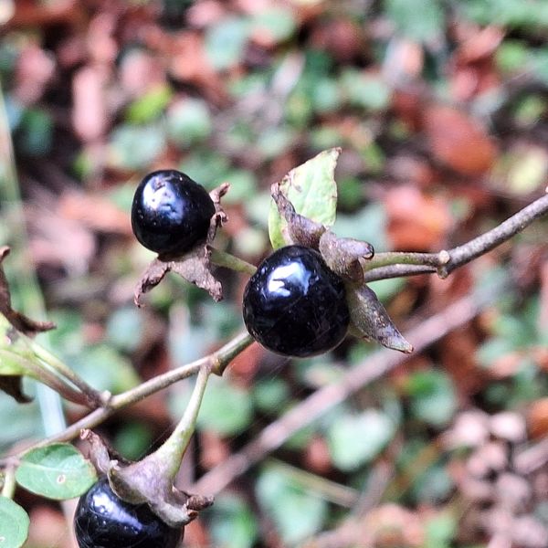
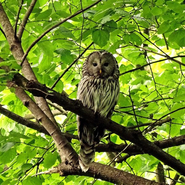
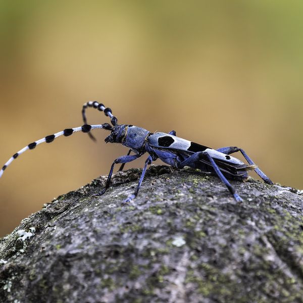
Based on naturalists’ records nearby (GBIF, iNaturalist), matched by altitude, habitat and season. Sightings are not guaranteed.
Places to stay nearby
All stays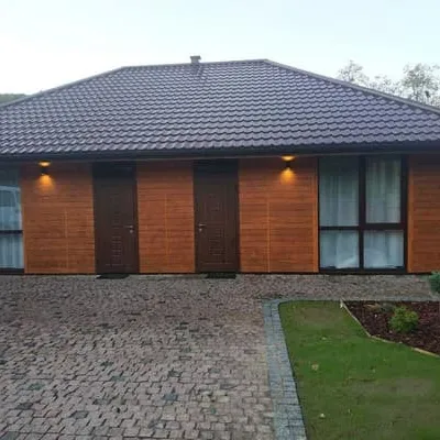 HotelStaryi DubSvalyava3.8 km from Mount DunavkaHot tubPoolBBQNearby: Mt Obavskyi Kamin 3.3 kmDunavka 3.8 km1 trailfrom 1 380 UAH per night
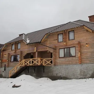 HotelSmerikova KhataMukachevo3.8 km from Mount DunavkaSaunaBBQParkingNearby: Mt Obavskyi Kamin 3.3 kmDunavka 3.8 km1 trailfrom 460 UAH per night
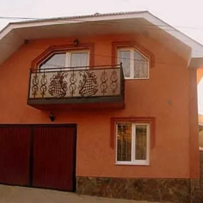 HotelEdemMukachevo3.8 km from Mount DunavkaBBQParkingWi‑FiNearby: Mt Obavskyi Kamin 3.1 kmDunavka 3.8 km1 trailfrom 700 UAH per night
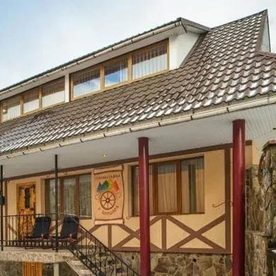 HotelU TsymboraMukachevo4.3 km from Mount DunavkaSaunaBBQParkingNearby: Mt Obavskyi Kamin 2.2 kmDunavka 4.4 km1 trailfrom 4 000 UAH per night
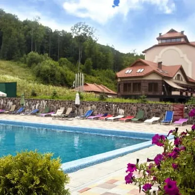 HotelSolvaPolyana4.9 km from Mount DunavkaPoolSaunaSPANearby: Dunavka 4.9 kmMt Dunavka 4.9 kmfrom 3 850 UAH per night
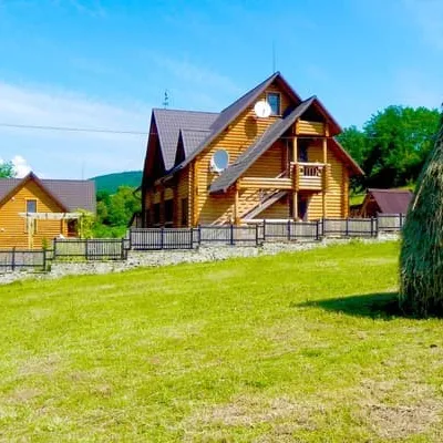 HotelDykyi MedSvalyava5 km from Mount DunavkaPoolSaunaBBQNearby: Dunavka 5.0 kmMt Dunavka 5.0 kmfrom 2 110 UAH per night
Trails nearby
All trails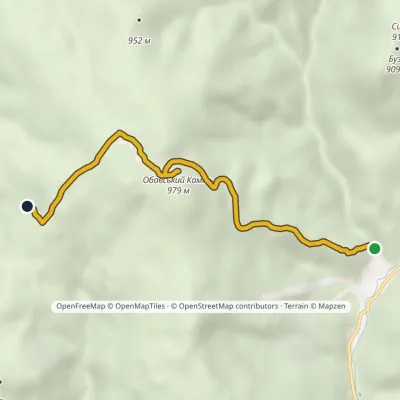 EasyOne-dayMarkedSyniak village Obava RockElevation profile436–992 m5.4 kmascent 556 m≈ 2.5 h walking4.3 km from Mount Dunavka
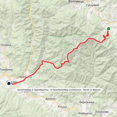 Hard1–2 daysPylypets village to Svaliavavia Mount Hemba, Mount Stiy +1Elevation profile198–1 681 m40.2 kmascent 1 224 m≈ 12 h walking10 km from Mount Dunavka
 HardTwo-dayLukovo village to Svaliavavia Mount BuzhoraElevation profile162–1 085 m46.8 kmascent 1 894 m11 km from Mount Dunavka
Nearby attractions
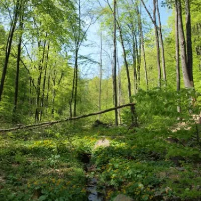 NatureDunavkaSyniakunder 1 km from Mount DunavkaMount Dunavka is the highest point of the Synyak mountain range of the Vygorlat-Hutin volcanic ridge in the Ukrainian Carpathians.
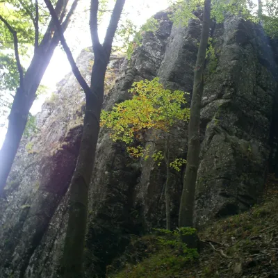 PeakMount Obavskyi KaminSyniakaltitude 979 m · Volcanic Carpathians range5.1 km from Mount Dunavka1 trail to the topObavskyi Kamin (the “Obava Stone”) is a 979 m summit in the Syniak massif, part of the volcanic ridge of the Ukrainian Carpathians.
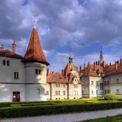 Sight"Palace of Counts Schönborn" CarpathiansKarpaty9.6 km from Mount DunavkaIn the small village of Karpaty in Zakarpattia, there is a fairy-tale Schönborn Castle. Every year, thousands of tourists come here to the Mukachevo region to see the...
Craft nearby
All craft places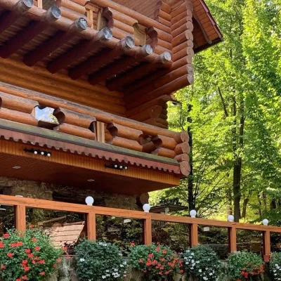 Koliby & Hutsul cuisineKoliba “Nad Potokom”, PolianaPolyana4.2 km from Mount DunavkaKoliba nad Potokom (“Kolyba above the Stream”) is a wooden kolyba restaurant in the spa village of Poliana near Svaliava in Zakarpattia, on Dyskovetska Street, which...
 Cheese dairies & pasturesTurianskyi Dvir Estate Cheese Dairy, Turia PolianaTurya Polyana9.6 km from Mount DunavkaTurianskyi Dvir is a private country estate on the shore of a mountain lake in the village of Turia Poliana in the Perechyn area, about 50 kilometres from Uzhhorod.
 Craft producersMirella confectionery, SvaliavaSvalyava11 km from Mount DunavkaMirella is a café-patisserie in Svaliava founded by pastry chef Myroslava Holonych. It bakes signature cakes and pastries, traditional Transcarpathian baking, crackers...
 Craft producersAleks mineral waters, SvaliavaSvalyava12 km from Mount DunavkaAleks is a Svaliava mineral-water producer founded in 1995. It was one of the first companies in Ukraine to bottle natural mineral waters in PET bottles, and today it...
 Honey & meaderiesHoney House Tasting Hall, MukachevoMukachevo19 km from Mount DunavkaThe Honey House (Medovyi Dim) is one of the first honey tasting halls in Zakarpattia. It was opened in Mukachevo in 2010 by beekeepers Liudmyla and Viktor Peresta as...
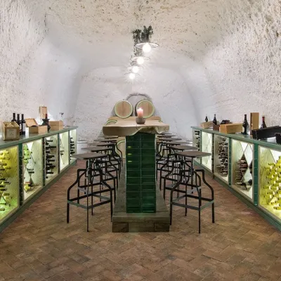 Wine & tastingsTerroir winery in the Chervona Hora caves, MukachevoMukachevo20 km from Mount DunavkaTerroir is a wine estate in the Chervona Hora ("Red Hill") area on the edge of Mukachevo, where wine is aged in ancient caves dating from the 13th–14th centuries.
