Rosalia longicorn
About
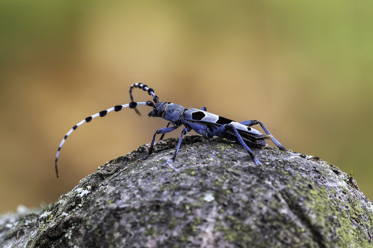
Rosalia longicorn is one of the most beautiful beetles in Europe and a symbol of old beech forests. In the Carpathians, it lives where there are many old beeches and dead wood in the sun: in beech primeval forests and ancient forests of Ukraine, Poland (Bieszczady), Slovakia, and Romania. In Ukraine, it is most often found in the beech forests of Zakarpattia and Prykarpattia.
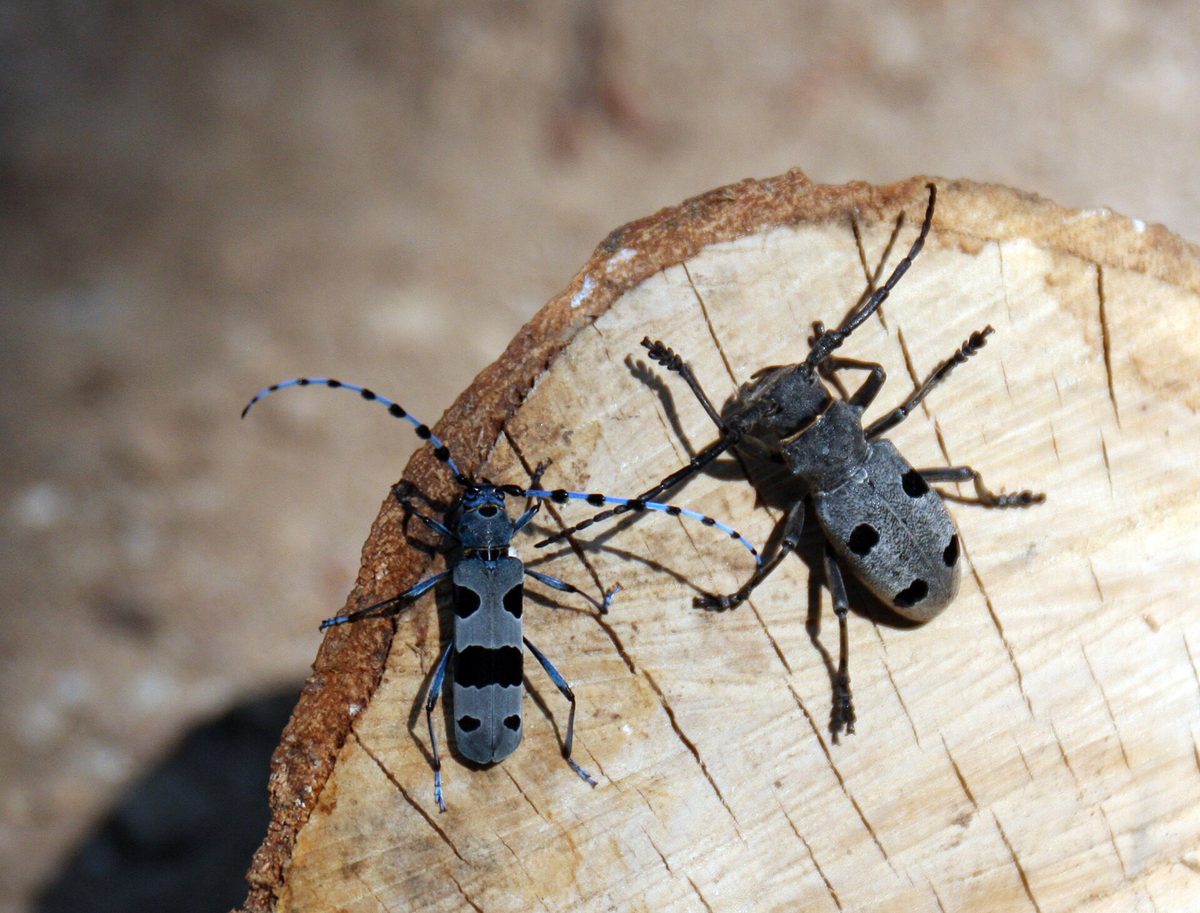
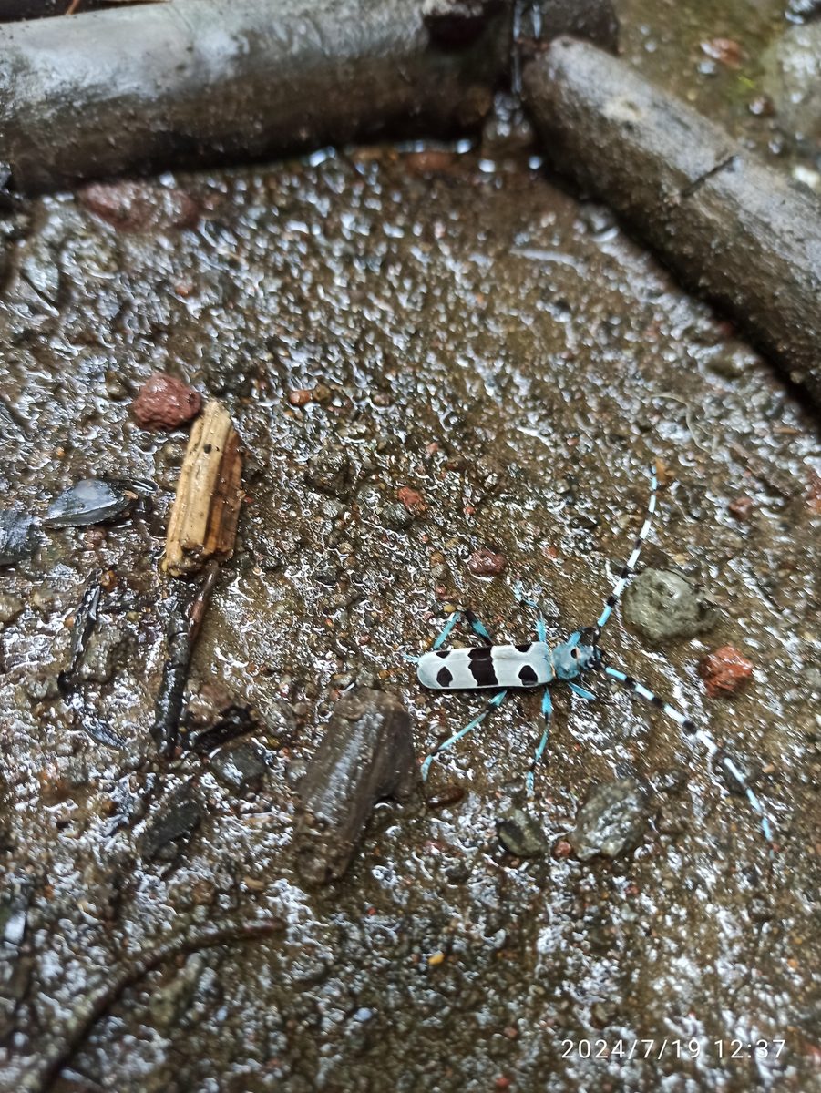
The beetle is 1.5–3.8 cm long, with delicate blue-gray or ash-gray pubescence, on which velvety black spots outlined in light are clearly visible. The long antennae, longer than the body in males, consist of blue segments with dense black tufts. This coloration effectively camouflages the beetle on the bark of old beech trees.
Adult beetles fly in July–August, on hot sunny days, and sit on sunlit trunks, broken and dry beeches, and stumps. The larvae live in dead but still fairly hard beech wood for about three years.
The main threat to the beetle is the logging of old forests and the removal of dead wood. Stacked beech firewood near roads and homes also becomes a dangerous trap: females lay eggs in it, and the firewood is then burned along with the larvae. Therefore, the best thing to do is to leave old and dead beeches in the forest.
Rosalia longicorn is listed in the Red Data Book of Ukraine as a vulnerable species, in the EU — in Annex II (priority species) and IV of the Habitats Directive, and in the global IUCN Red List it has the category of 'vulnerable' (VU). Collecting and trapping beetles is prohibited.
Where in the Carpathians

The map shows where naturalists recorded the species (GBIF, CC0 and CC BY records), not every place it lives. The Ukrainian Carpathians are less studied, so a blank area does not mean the species is absent.
- Countries
- Hungary · Ukraine · Austria · Romania · Slovakia
- Mountain ranges
- Mátra, Börzsöny and Cserhát, Bükk, Gorgany, Cerová Highlands, Zemplén Mountains, Polonynian Ridge, Maramureș Mountains, Chornohora, Krasna Polonyna
- Altitude belts
- Foothills (below 600 m) · Beech forests (600–1200 m)
When to see it
| Jan | Feb | Mar | Apr | May | Jun | Jul | Aug | Sep | Oct | Nov | Dec | |
|---|---|---|---|---|---|---|---|---|---|---|---|---|
| Sightings |
From naturalists’ observations in the Carpathians (iNaturalist, research grade): the darker the cell, the more often the species is seen that month.
Protection and rules
Collecting and trapping is prohibited: the species is listed in the Red Data Book of Ukraine.
Admire, don’t pick: plants listed in the Red Data Book of Ukraine — and any plants in nature reserves and strictly protected zones of national parks — must not be collected.
FAQ
What is the blue beetle with long antennae in the beech forests of the Carpathians?
This is Rosalia longicorn — a blue-gray beetle with black spots that lives in old beech forests. It is listed in the Red Data Book of Ukraine.
When can you see Rosalia longicorn?
In July–August, on hot sunny days, on sunlit old and dry beeches.
Similar species
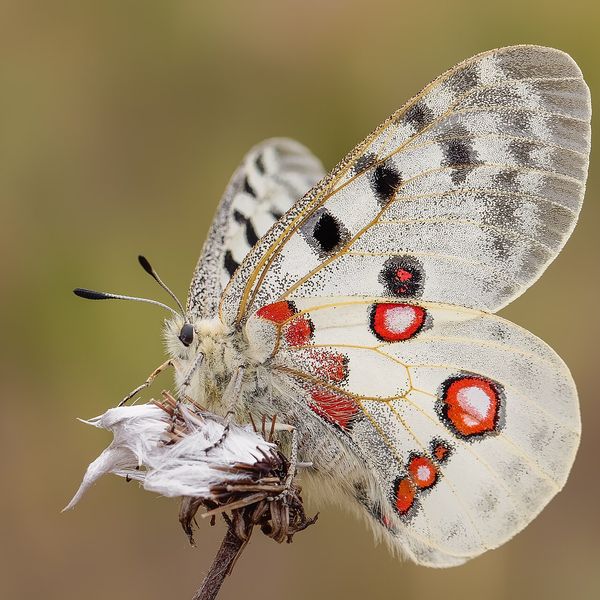
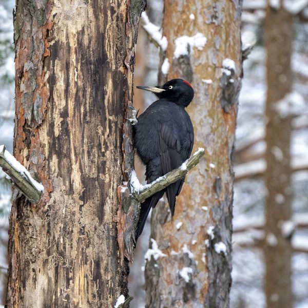
Where to meet it
Trails
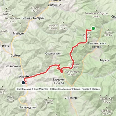 HardMulti-dayLake Synevyr to Mizhhiriavia Mount Ozerna, Mount Kamianka +2Elevation profile426–1 578 m31.1 kmascent 1 069 m≈ 10 h walking
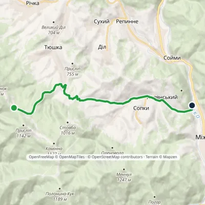 EasyOne-dayMarkedPryslip Pass Mount KlevaElevation profile443–941 m12.3 kmascent 66 m≈ 3 h walking
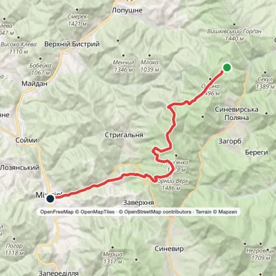 HardMulti-dayLake Synevyr to Mizhhiriavia Mount Ozerna, Mount Kamianka +2Elevation profile440–1 518 m24.7 kmascent 1 614 m≈ 9.5 h walking
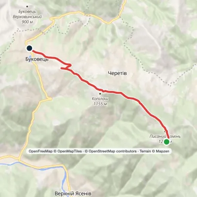 EasyOne-dayPysanyi Kamin Bukovets villageElevation profile813–1 221 m6.9 kmascent 90 m≈ 2 h walking
 ModerateTwo-dayBukovets village loopvia Pysanyi KaminElevation profile807–1 221 m12.4 kmascent 484 m≈ 4 h walking
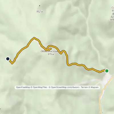 EasyOne-dayMarkedSyniak village Obava RockElevation profile436–992 m5.4 kmascent 556 m≈ 2.5 h walking
 HardMulti-dayMarkedZaroslyak base to Yasiniavia Lake Nesamovyte, Mount Turkul +2Elevation profile631–2 061 m32.8 kmascent 1 706 m≈ 11.5 h walking
 HardMulti-dayMarkedKvasy village to Zaroslyak basevia Mount Sheshul, Mount Petros +2Elevation profile536–2 061 m36.4 kmascent 2 472 m
 HardMulti-dayMarkedKvasy village to Zaroslyak basevia Mount Petros, Mount Hoverla +1Elevation profile535–2 061 m26.1 kmascent 2 044 m≈ 10.5 h walking
 HardMulti-dayMarkedKvasy village to Zaroslyak basevia Mount Petros, Mount Hoverla +2Elevation profile530–2 061 m46.2 kmascent 3 234 m
 HardMulti-dayMarkedKvasy village to Zaroslyak basevia Mount Petros, Mount HoverlaElevation profile535–2 061 m31.7 kmascent 2 028 m≈ 12 h walking
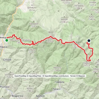 HardMulti-dayMarkedKvasy village to Zaroslyak basevia Mount Petros, Mount Hoverla +1Elevation profile622–2 020 m39.7 kmascent 2 066 m
Peaks and meadows
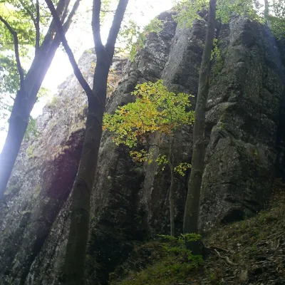 PeakMount Obavskyi KaminSyniakaltitude 979 m · Volcanic Carpathians range1 trail to the topObavskyi Kamin (the “Obava Stone”) is a 979 m summit in the Syniak massif, part of the volcanic ridge of the...
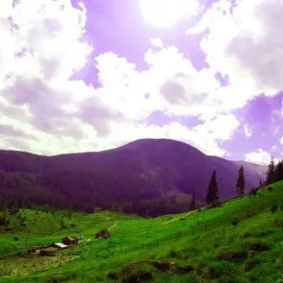 Mountain meadowPolonyna GadzhinaBystretsIt seemed that the Chornohora massif was literally crowded with people, but sometimes you can come across places that...
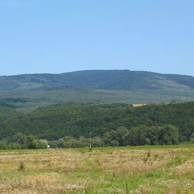 PeakMount Antalovetska PolyanaKamianytsiaaltitude 968 m8 trails to the topMount Antalovetska Polyana is a 968-meter high peak of the Ukrainian Carpathians, located in the western part of the...
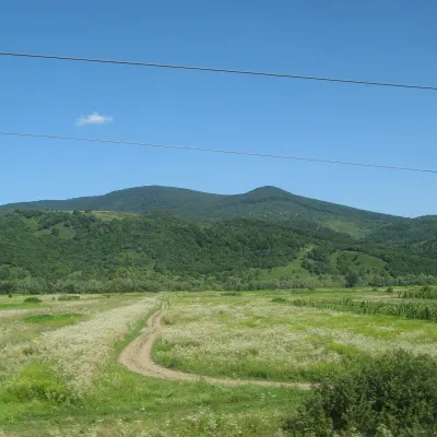 PeakMount DunavkaSyniakaltitude 1 018 m · Volcanic Carpathians rangeDunavka is the highest summit of the Syniak mountain massif, 1,018 m high.
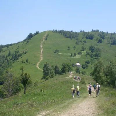 Mountain meadow984 mMount Makovytsia, YaremcheYaremcheMakovytsia (984 m) is a mountain of the Gorgany range on the eastern edge of Yaremche, in the Carpathian National...
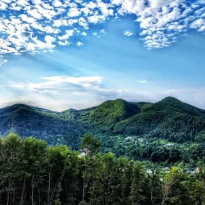 PeakMount Sopka (Stizhky, Zinyakov top).Kosivaltitude 620 m2 trails to the topStizhki (620 meters) offers a panoramic view of the city of Kosiv. The mountain is covered with forests - beech,...
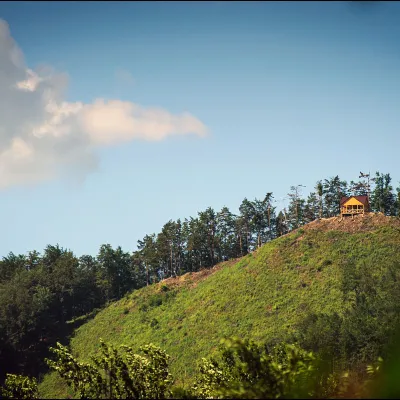 PeakMount Ostry (Ostra)Kosivaltitude 584 m2 trails to the topThe mountain offers wonderful views of the entire Kosiv. The descent is steep, and autumn is magical here.
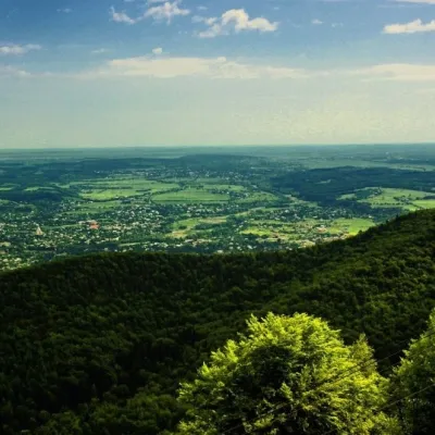 PeakMount Mykhalkova (Kosiv)Kosivaltitude 812 m2 trails to the topMount Mykhalkova (Mykhalkiv), with a height of 812 meters, is part of the Pokuttya Carpathians.
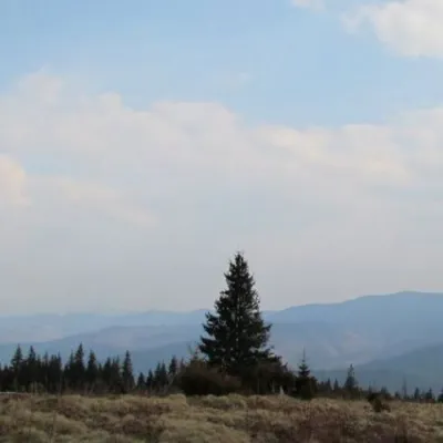 Mountain meadow1 200 mPolonyna ShchivkaYaremcheThe Shchivka meadow has a very good location. Its length is about 700 meters, it has a slight slope, which protects...
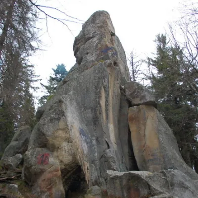 PeakWhite Stone RockDoraaltitude 538 m7 trails to the topThe White Stone Rock is located in the village of Dora in the Carpathians and is one of the most prominent natural...
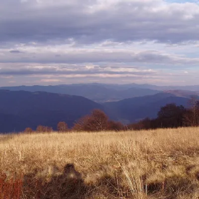 PeakMount YavirnykRuskyi Mocharaltitude 1 017 m17 trails to the topMount Yavirnyk is a 1,017-meter peak of the Ukrainian Carpathians, which is located within the Polonynsky Beskyd.
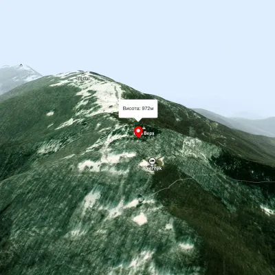 PeakMount Judah TopRuskyi Mocharaltitude 972 mThe top of Mount Judah Top is 972 meters above sea level. The nearest settlements are: Ruskyi Mochar (2.1 km), Sil (4...
Waters and waterfalls
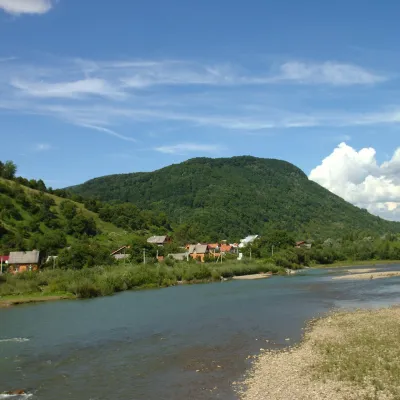 RiverRika RiverMizhhiriaThe Rika rises near the village of Torun on the south-western slopes of the Verkhovyna Range, where the Pryslip and...
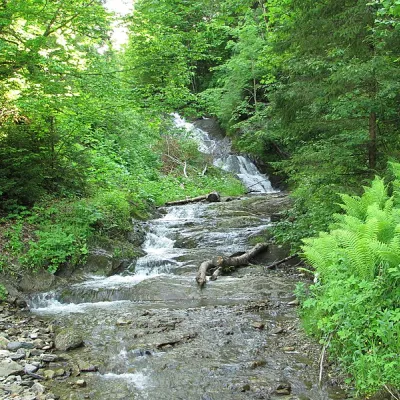 WaterfallYavorivskyi Huk waterfallYavorivYavorivskyi Huk is a 6-meter-highcascading waterfall, a geological natural monument of local importance in Ukraine.
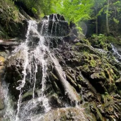 WaterfallYavorivska Niagara waterfallYavorivThe waterfall, or rather a cascade of waterfalls, is located on the bed of the Bedzvinnii stream and is situated...
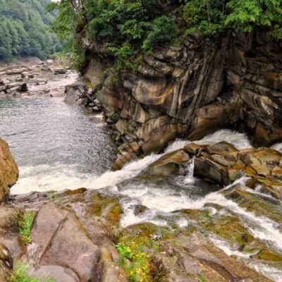 WaterfallProbiy waterfall, YaremcheYaremcheProbiy Waterfall is located in the heart of the Carpathian Mountains, in the city of Yaremche.
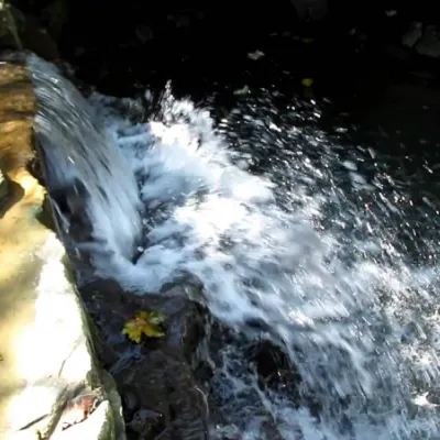 WaterfallBagrovetsky waterfallYaremcheBagrovetsky Waterfall is one of the most famous waterfalls in the Yaremche region, located in the city of Yaremche.
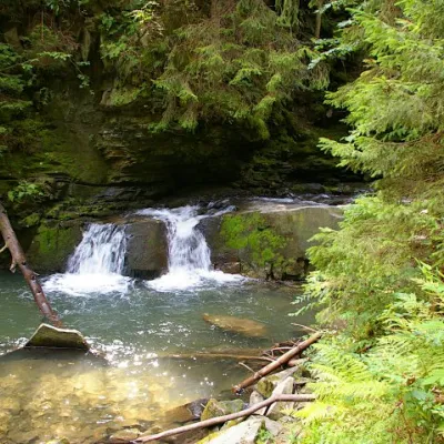 WaterfallWaterfall Maiden's Tears, YaremcheYaremcheMaiden's Tears is a waterfall in the Ukrainian Carpathians (Gorgany massif).
Mountain ranges: Gorgany, Polonynian Ridge, Maramureș Mountains, Chornohora, Krasna Polonyna, Vihorlat-Gutin Volcanic Ridge, Borzhava, Pokuttia-Bukovina Carpathians. In other countries: 🇭🇺 Mátra, 🇭🇺 Börzsöny and Cserhát, 🇭🇺 Bükk, 🇸🇰 Cerová Highlands, 🇭🇺 Zemplén Mountains
Trails and peaks near which naturalists recorded the species (GBIF, iNaturalist), matched by altitude and habitat. Sightings are not guaranteed.
Sources
- Вікіпедія: Вусач альпійський
- Wikipedia (en): Rosalia alpina
- Перелік видів тварин, що заносяться до Червоної книги України (наказ Міндовкілля від 19.01.2021 № 29, зареєстровано в Мін'юсті 01.03.2021 за № 260/35882)
- Міндовкілля: текст переліку видів тварин Червоної книги України (PDF)
- GBIF: таксон і категорія МСОП
- Директива Ради 92/43/ЄЕС про збереження природних оселищ (консолідована редакція)
GBIF · iNaturalist · Wikidata · Distribution data: GBIF.org (CC0 and CC BY records), iNaturalist; names and identifiers: Wikidata (CC0). Text: Karpaty.rocks, checked 09.11.2026.
