Stara Huta villageloop, via Mount Ihrovets, Borevka Pass
Unmarked trailmore
It may be partly marked. Unmarked trails have no information boards, signposts or auxiliary signs (water, campsite, etc.). The decision to walk the trail is entirely your own responsibility.
Trail map
Where to stay nearby
About the trail
Route Stara Huta village, via Mount Ihrovets and Borevka Pass to Stara Huta village. Along the route you will see: Residence Synihora, Guta, Mount Igrovets.
At a glance
A one-day loop route of 20.4 km with 1,494 m of ascent, starting and finishing at Stara Huta village. Estimated walking time: about 7.5 h, not counting stops. Difficulty: hard. Waymarking is missing or partial.
Route stages
- 0–2 kmGentle ups and downs at 690–740 m
- 2–12 kmClimb of 1,090 m to Mount Igrovets (1,804 m)
- 12–18 kmDescent of 930 m (down to 900 m)
- 18–20 kmGentle ups and downs at 840–900 m
Steepest kilometre: km 17–18, a descent of 320 m (≈31%).
Water and overnight stays
Springs near the trail: at km 6 and 16. There are no springs between km 6 and 16 — carry at least 2 l of water. Some springs run low or dry up in late summer.
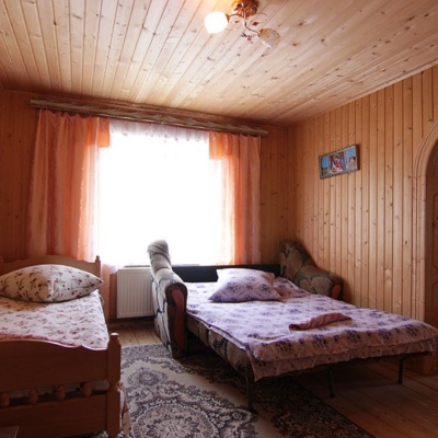
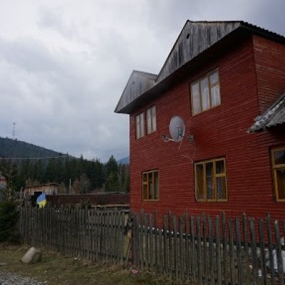
Places to stay near the start: Osmoloda.
When to go
Best time: June to September. In winter only for experienced hikers with proper gear: avalanche danger is possible. About 4 km of the route runs above 1,500 m, where the weather changes quickly — check the forecast.
Getting there
Start: Stara Huta village. Most places to stay near the start are in Osmoloda. This is a loop: it brings you back to the start.
FAQ
- How long does the route take?
- Estimated walking time: about 7.5 h, not counting stops.
- Is there water on the route?
- Springs near the trail: at km 6 and 16. There are no springs between km 6 and 16 — carry at least 2 l of water. Some springs run low or dry up in late summer.
- Where can I stay overnight?
- Places to stay near the start: Osmoloda.
Water and shelter on the route
- Spring (Stara Huta)km 6 from the start · 100 m off the path · Not verified · 979 m
- Drinking water below Mount Ihrovetskm 15.2 from the start · 110 m off the path · Not verified · 1 241 m
Comments
What to see on the trail
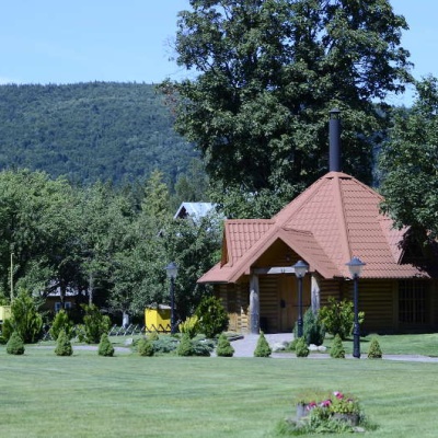
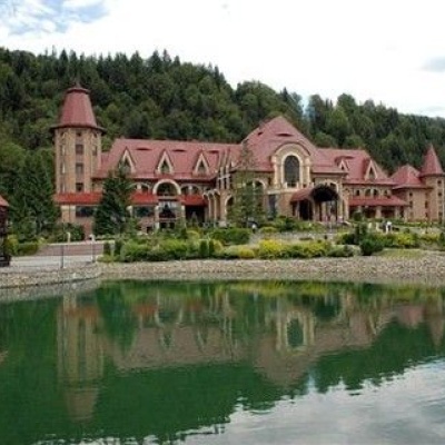 Residence Synihora, Gutaaltitude 651 mThe State Organization "Residence "Synihora" is the residence of the President of Ukraine in the Carpathian massif of Gorgany (near the village of...
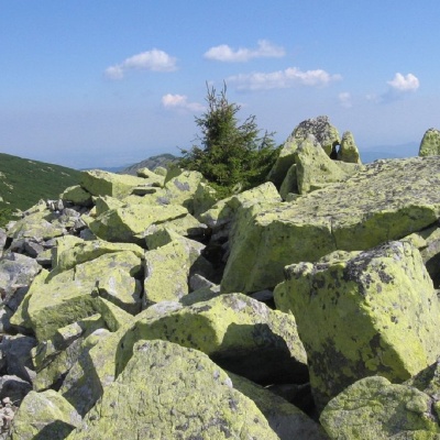 Mount Igrovetsaltitude 1 804 mMount Igrovets is located on the Igrovyshche ridge and is the third highest peak in the Horhan mountain range (after Velyka and Mala Syvul) at 1804...
Trails nearby
All trails HardMulti-dayMarkedEast Carpathian Tourist TrailElevation profile635–1 819 m278.1 kmascent 14 105 m
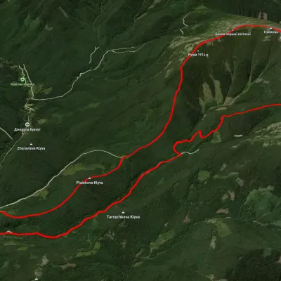 HardTwo-dayUnmarkedStara Huta village loopvia Mount Vysoka, Mount IhrovetsElevation profile21.2 kmascent 1 925 mmax 1 789 m≈ 9 h walking
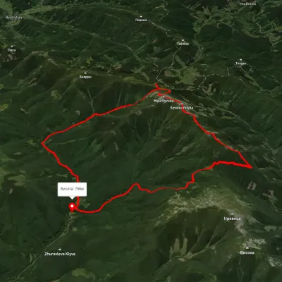 HardMulti-dayUnmarkedStara Huta village loopvia Mount Borevka, Mount Lopushna +2Elevation profile768–1 798 m27.4 kmascent 1 402 m≈ 9.5 h walking