Limnytsia River landscape reserve of local importance
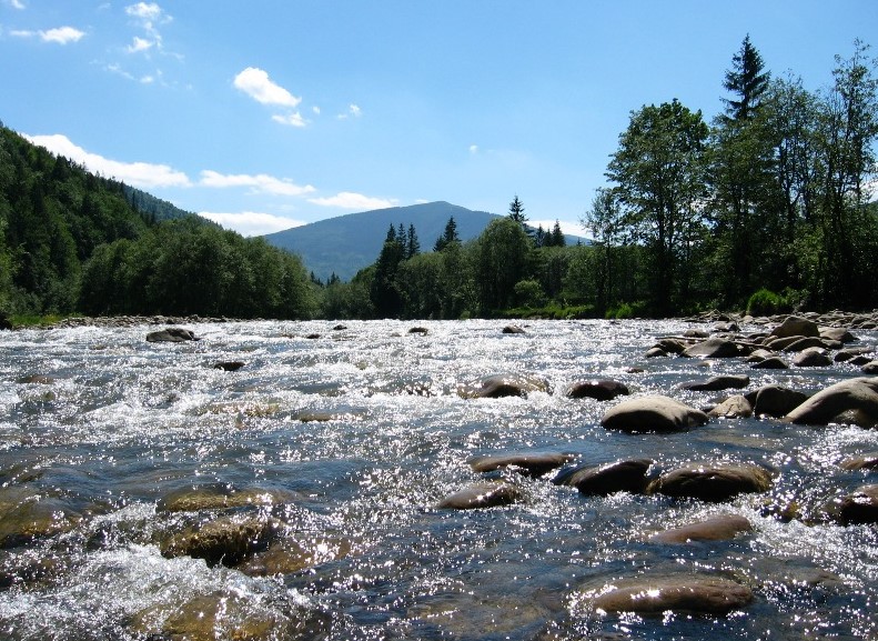
The area of the reserve is 2440 hectares. The Limnytsia River is a source of clean water and has favorable conditions for the life, spawning and development of valuable fish species. The entire Limnytsia River valley is valuable for aesthetic and recreational purposes. It was established in 1979 to preserve the natural complex along the Limnytsia Riverbed as a valuable source of clean drinking water and one with favorable conditions for the existence of valuable commercial fish species: maren, ribbonfish and mountain trout.
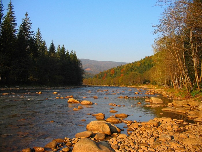
The Limnytsia flows down from the northern slopes of Mount Bushtul, with its source at an altitude of about 1150 meters. In terms of length, it is the largest river (122 km) of the Carpathian tributaries of the Dniester River after the Stryi River. The catchment area is 1430 km and the density of the river network is 1.2 km/km. The upper reaches of the Limnytsia are located in one of the highest areas of the Gorgan Mountains, the Yayko-Moloda ridge (1600-1752 m). Here, it has a highly branched network of tributaries - Moloda, Mshana, Dariv, Petros, and others. The highest settlement in the Limnytsia valley is the village of Osmoloda (717 m), which is located near the confluence of the Moloda River, a tributary of the river.
Up to the village of Yasen, the Limnytsia flows in a northeasterly direction, i.e. across the Carpathian ranges. Here its valley is relatively narrow, its banks are steep and covered with forests. Near the village of Yasen, the right bank is low and almost treeless. Below the village of Yasen, the river turns north and flows in this direction until it enters the Carpathian region near the village of Rozhnyativ. In this section, the valley widens considerably (4-7 km) and is relatively densely populated. The riverbed is divided into a number of branches, and the bottom is rocky. Near Rozhnyativ, the Limnytsia valley becomes the widest; here it receives its largest tributary, the Chechva River. The Limnitsa collects water from the highest mountains, where the annual precipitation is over 1000 mm, so it is characterized by high water, both in summer from rain and in spring from snowmelt, which often leads to large floods.
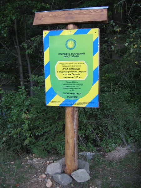
In 2007, as part of a project funded by the Embassy of the Kingdom of the Netherlands in Ukraine, the NGO Carpathian Trails installed 7 information and protection signs along the riverbed, starting from the mouth of the Moloda River. As of the end of 2017, 5 remained: in the village of Osmoloda 2 (one was destroyed by the flood of 2007), in the Rizarnya River, in the Yala River, in the Dariv River, in the Shchavnyk River (destroyed under unknown circumstances).
In 2017. Prykarpattya Land Center installed protection signs for the reserve within Kalush district.
According to the Regulation on the reserve as of January 25, 1988, the Rozhnyativ, Kalush and Halych district executive committees are responsible for protection. According to the protection obligations No. 524 of 20.06.2001, the Rozhnyativ District Council was designated as the land user, and according to No. 494 of 08.11.2000, the Galician District Council was designated as the land user. Since August 9, 2004, the land user of the reserve lands, which were part of the Galician District Council, was transferred to the Galician National Nature Park. According to paragraph 2 of Part III of the Regulation on the Reserve of 06.10.2004, as well as the relevant protection obligations, the reserve is maintained and protected by 12 village councils whose territories are affected by the river (Berlogivska, Broshnivska, Verbivska, Vilkhivska, Nebylivska, Osmolodska, Perehinska, Rivnianska, Svarychivska, Slyvkivska, Yasenovetska and Yasenska).
In connection with the creation of the Halych National Park, the territory of the reserve located within the Halych district was transferred to the jurisdiction of the park. Accordingly, the reserve exists only within Rozhnyativ and Kalush districts.
Accommodation around Limnytsia River landscape reserve of local importance:


Nearby hiking trails near Limnytsia River landscape reserve of local importance:

Which trails pass by Limnytsia River landscape reserve of local importance?
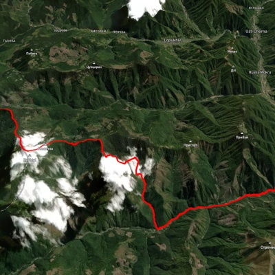
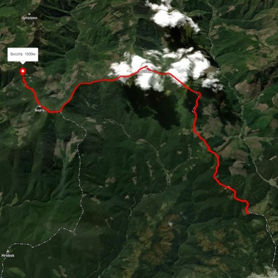
We suggest these hiking trails through or near Limnytsia River landscape reserve of local importance: Bert ridge, via Mount Bushtul to Nimetska Mokra village, Dariv ridge, via Mount Bushtul to Mount Bert, Tatariv village, via Mount Syniak, Mount Dovbushanka, Mount Chorna Kleva, Mount Bratkivska, Mount Syvulia, Mount Kinets Horhanu, Mount Popadia and Mount Grofa to Myslivka village, Rakhiv, via Mount Blyznytsia, Mount Troiaska and Mount Bratkivska to Osmoloda village, Ust-Chorna – Mount Popadia, Lopukhiv village, via Legioniv Pass, Peklo tract, Mount Syvulia, Mount Popadia and Nimetska Mokra village to Ust-Chorna village