Mount Chornyi Hrun
Chornyi Hrun is a 1,486 m mountain in the Gorgany, at the south-eastern end of the Bratkivskyi Ridge. It rises in the Rakhiv district of Zakarpattia Oblast, north-west of the village of Chorna Tysa; the nearest larger settlements are Yasinia and Stebnyi.
The top is treeless, with patches of scree. The slopes are steep, especially to the east, while the north-western slope runs gently into a saddle that leads up to neighbouring Chorna Kleva (1,719 m), about 2.4 km away.
How to get there
Our site has no route dedicated to Chornyi Hrun yet, but four long ridge traverses of the Bratkivskyi Ridge and Svydovets pass about 100 m from the summit:
- Kvasy – Mt Blyznytsia – Mt Bratkivska – Mt Chorna Kleva – Chorna Tysa – Yasinia, 60.1 km;
- Yasinia – Mt Bratkivska – Mt Troiaska – Mt Blyznytsia – Kvasy, 60.3 km;
- Rakhiv – Mt Blyznytsia – Mt Troiaska – Mt Tataruka – Mt Bratkivska – Mt Chorna Kleva – Chorna Tysa – Yasinia, 67.3 km;
- Yasinia – Mt Chorna Kleva – Mt Bratkivska – Mt Dohiaska – Mt Blyznytsia – Kvasy, 68.9 km.
All of them take several days. For a day hike, start in Chorna Tysa — the summit is about 4 km away as the crow flies.
Water, shelter and safety
Our map shows a spring near Chorna Tysa about 600 m from the summit and a hut on Polonyna Poharskyi about 700 m away. A few more springs lie below Chorna Kleva, 1–1.7 km off. Their current condition is unknown, so carry enough water. Step carefully on the scree, especially after rain, and on the open ridge be ready for wind, fog and thunderstorms. In an emergency call 112 or 101 — contacts of the nearest units are on the mountain rescue page.
Interesting facts
- The Pletskyi stream, a left tributary of the Chorna Tysa, rises on the north-western slopes.
- Chornyi Hrun closes the Bratkivskyi Ridge from the south-east; to the north-west the ridge climbs to Chorna Kleva and Bratkivska.
Comments
Places to stay nearby
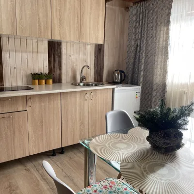 Cottage"Shchivky"11 km from Mount Chornyi HrunLiving room (fold-out sofa, table with chairs, TV, balcony; kitchenette — electric kettle, sink); double room (double bed, wardrobe, TV, balcony);Nearby: Mt Sinyak 4.7 kmPerevernuty Khata 2.5 km18 trails
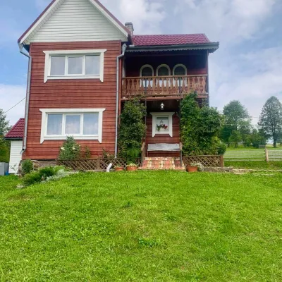 HomesteadGuest house "U Iryny"11 km from Mount Chornyi HrunWelcome to our cozy house located in the very heart of the Carpathians. This is the perfect place for those seeking solitude, harmony with nature, and to return home...Nearby: Strukivska Church 2.0 kmChurch of the Transfiguration 1.2 km40 trails
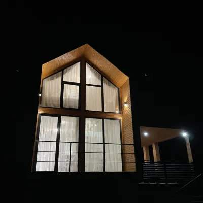 CottageArtMi12 km from Mount Chornyi HrunFireplaceKitchenParkingNearby: Church of the Transfiguration 2.8 kmStrukivska Church 5.7 km32 trails
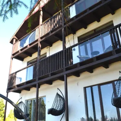 CottageApartments "Mayak". Cottage in the Carpathians with a view of the mountains12 km from Mount Chornyi HrunHot tubBBQKitchenNearby: Mt Khomiak 6.2 kmPolonyna Khomyakov 6.9 km9 trails
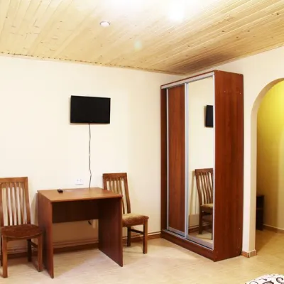 HotelHotel "Hutsulshchyna"6.8 km from Mount Chornyi HrunPoolSaunaNearby: Strukivska Church 4.6 kmMt Dovha 7.6 km25 trails
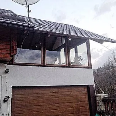 CottageCottage "Karpaty" Yasinya8.1 km from Mount Chornyi HrunSaunaBBQKitchenNearby: Strukivska Church 3.5 kmChurch of the Transfiguration 2.5 km38 trails
Trails nearby
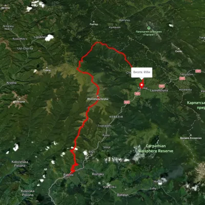 HardMulti-dayUnmarkedRakhiv to Yasiniavia Mount Blyznytsia, Mount Troiaska +4Elevation profile440–1 839 m67.3 kmascent 2 761 munder 1 km from Mount Chornyi Hrun
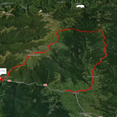 HardMulti-dayUnmarkedKvasy village to Yasiniavia Mount Blyznytsia, Mount Bratkivska +2Elevation profile532–1 871 m60.1 kmascent 2 858 munder 1 km from Mount Chornyi Hrun
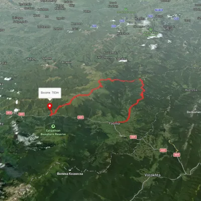 HardMulti-dayUnmarkedYasinia to Kvasy villagevia Mount Bratkivska, Mount Troiaska +1Elevation profile532–1 867 m60.3 kmascent 3 353 munder 1 km from Mount Chornyi Hrun
Nearby attractions
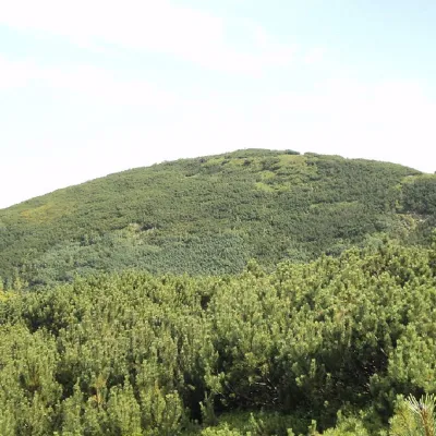 PeakMount Chorna Klevaaltitude 1 719 m · Gorgany range2.4 km from Mount Chornyi Hrun11 trails to the topMount Chorna Kleva (also called Chorna Klyva on some tourist maps) is a peak of the Ukrainian Carpathians, located on the Bratkivsky ridge of the Horhan mountain range.
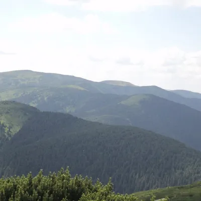 PeakMount Ruskaaltitude 1 678 m · Gorgany range4.7 km from Mount Chornyi Hrun16 trails to the topRuska is a 1,678-meter peak (according to other sources, the height of the mountain is 1,650 meters) located in the Gorgan mountain range of the Ukrainian Carpathians.
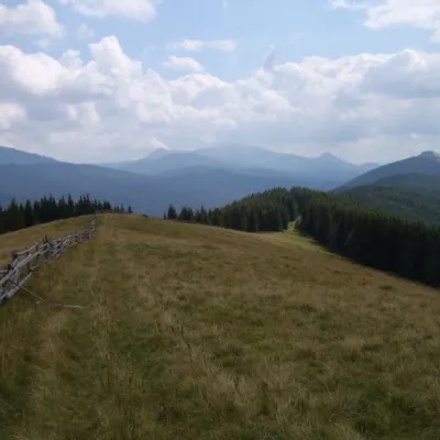 PeakMount Ploska, Bystrytsiaaltitude 1 353 m · Gorgany range6.7 km from Mount Chornyi HrunPloska is a mountain in the Gorgany massif (Ukrainian Carpathians). It is located within Nadvirna district of Ivano-Frankivsk region and Rakhiv district of Zakarpattia...