Iceland moss
For information only, not medical advice. Do not self-medicate — consult a doctor. Many Carpathian medicinal plants are protected and must not be collected.
About
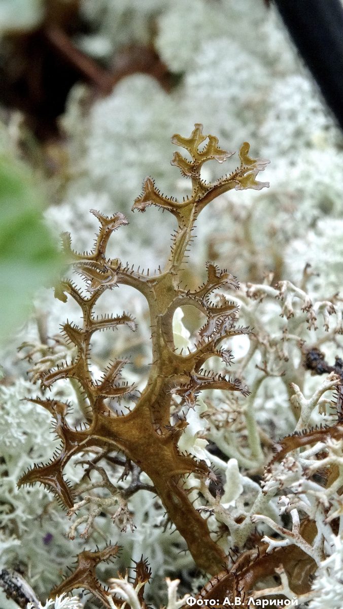
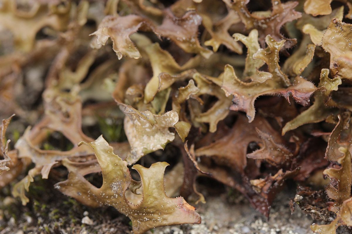
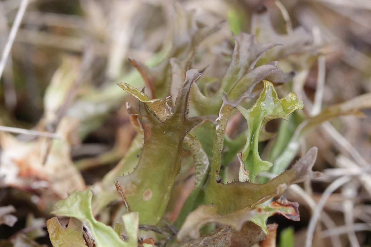
Iceland moss is actually not a moss, but a lichen, which is a symbiosis of a fungus and an alga. It is an arctic-alpine species, so in Ukraine, it is most abundant in the high mountains of the Carpathians: among grasses and shrubs on the ridges of Chornohora, in the Hutsul Alps, Gorgany, and on the Borzhava polonynas.
The thallus appears as small upright bushes up to 10–15 cm tall, composed of flat, channelled lobes 0.5–4 cm wide. The color varies from whitish and greenish-brown to dark brown, with the underside of the lobes being lighter or reddish. Small hairs sit along the edges of the lobes. The thallus turns yellow with a drop of alkali — this is how lichenologists confirm the species.
The lichen contains up to 70% lichenin, 'lichen starch', and bitter cetraric acid. The lichen is edible: it was soaked or boiled to reduce bitterness and added as a thickener to milk or porridge, and also dried for storage and brewed as an herbal remedy.
Due to intensive harvesting, the areas of Cetraria in the Carpathians are decreasing. In the 2020s, conservationists reported a sharp increase in the commercial harvesting of Iceland moss in the Ukrainian Carpathians after access to the high mountains became easier. This lichen is included in the plant communities of the Green Book of Ukraine, so industrial harvesting is only possible with permission, and it is prohibited to collect it in reserves and national parks. On the trail, simply admire the Cetraria and do not pick it.
Where in the Carpathians

The map shows where naturalists recorded the species (GBIF, CC0 and CC BY records), not every place it lives. The Ukrainian Carpathians are less studied, so a blank area does not mean the species is absent.
- Countries
- Slovakia · Romania · Ukraine · Poland
- Mountain ranges
- High Tatras, Gorgany, Western Tatras, Retezat Mountains, Svydovets, Low Tatras, Bihor-Vlădeasa Mountains, Chornohora, Bucegi Mountains, Făgăraș Mountains
- Altitude belts
- Conifer forests (1200–1600 m) · Subalpine belt (1600–1900 m) · Alpine belt (above 1900 m)
When to see it
| Jan | Feb | Mar | Apr | May | Jun | Jul | Aug | Sep | Oct | Nov | Dec | |
|---|---|---|---|---|---|---|---|---|---|---|---|---|
| Flowering |
From naturalists’ observations in the Carpathians (iNaturalist, research grade): the darker the cell, the more often the species is seen that month.
Look-alikes — how to tell them apart
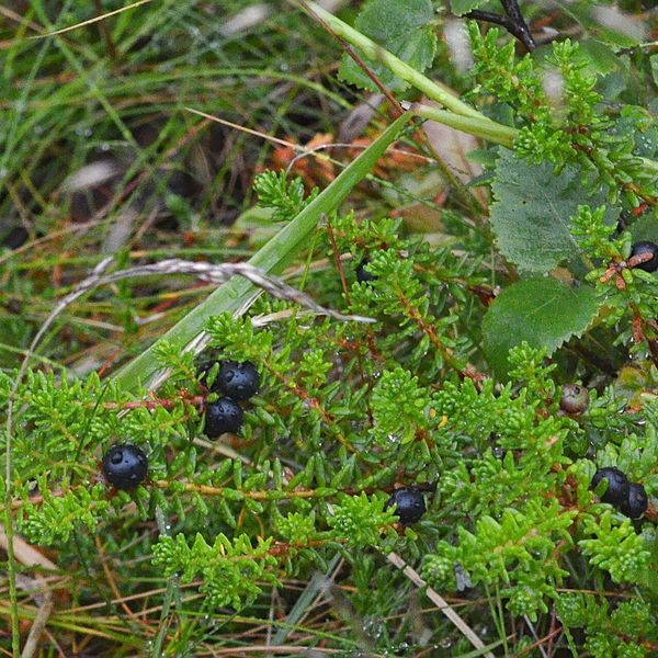
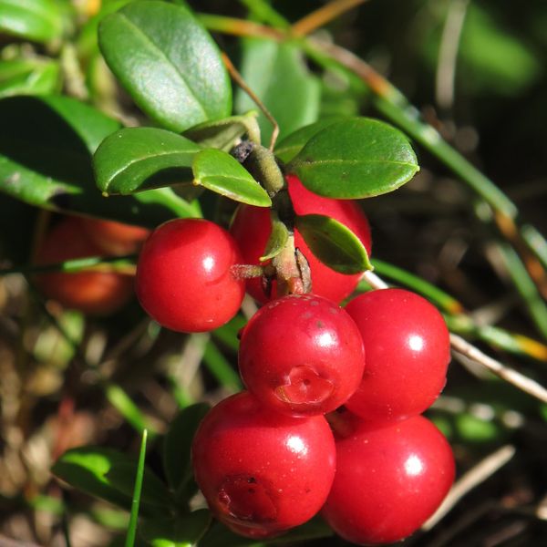
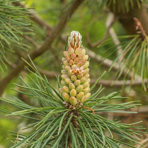
Grayish-white, finely and densely branched 'bushes' made of thin hollow branches, not flat channelled lobes.
In folk tradition
The lichen was traditionally soaked or boiled to reduce bitterness and added as a thickener to milk and porridge, and also brewed as an herbal remedy.
Protection and rules
Not listed in the Red Book of Ukraine, but communities with Iceland moss are in the Green Book of Ukraine: industrial harvesting is only with permission, and it is prohibited to collect it in reserves and national parks.
FAQ
Is Iceland moss a moss?
No, it is a lichen — a symbiosis of a fungus and an alga. It got the name 'moss' due to its external resemblance.
Can Iceland moss be collected in the Carpathians?
Industrial harvesting is only possible with permission, and it is prohibited to collect it in reserves and national parks. Due to intensive harvesting, its areas are decreasing, so it is better not to pick it.
Similar species
Where to meet it
Trails
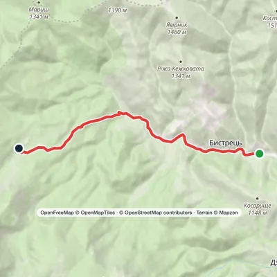 EasyOne-dayBystrets village Hadzhyna polonynaElevation profile778–1 219 m7.9 kmascent 440 m≈ 3 h walking
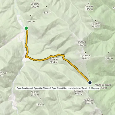 ModerateOne-dayMarkedRizarnia BorevkaElevation profile769–1 327 m9.8 kmascent 599 m≈ 3.5 h walking
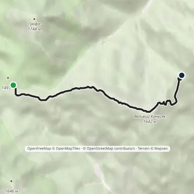 EasyOne-dayMarkedTrail to Mount Velykyi KanusiakElevation profile1 359–1 642 m4.9 kmascent 279 m≈ 2 h walking
 ModerateOne-dayMarkedKuzmynets village Mount VysokaElevation profile686–1 803 m11.1 kmascent 1 122 m≈ 5 h walking
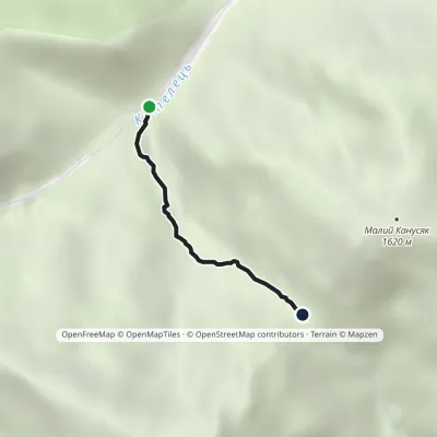 EasyOne-dayMarkedTrail to Velykyi and Malyi KanusiakElevation profile964–1 364 m1.8 kmascent 400 m≈ 1.5 h walking
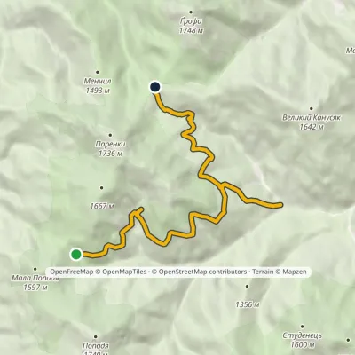 ModerateOne-dayMarkedTo Mlynky shelterElevation profile963–1 456 m11.7 kmascent 640 m≈ 4 h walking
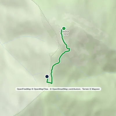 EasyOne-dayMarkedHrynkiv village Mount SeredniaElevation profile1 459–1 639 m1.3 kmascent 1 m≈ 15 min walking
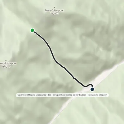 EasyOne-dayMarkedPetros river Kanusiakyvia Pereluch polonynaElevation profile858–1 361 m2.3 kmascent 26 m≈ 45 min walking
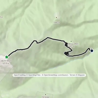 EasyOne-dayMarkedMount Syvulia Mala Mount Studenyi VerkhElevation profile989–1 815 m5.7 kmascent 20 m≈ 1.5 h walking
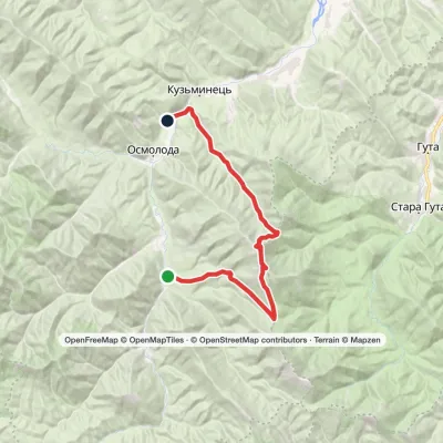 HardTwo-dayMarkedOsmoloda village loopvia Mount Ihrovets, Mount VysokaElevation profile681–1 804 m24.8 kmascent 1 131 m≈ 8.5 h walking
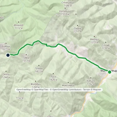 ModerateOne-dayMarkedMaksymets village Stremena polonynaElevation profile669–1 353 m10.8 kmascent 684 m≈ 4 h walking
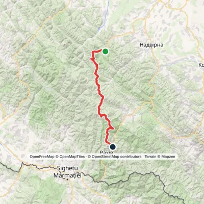 HardMulti-dayStara Huta village to Bilyn villagevia Mount Vysoka, Mount Syvulia +4Elevation profile484–1 883 m95.9 kmascent 5 352 m
Peaks and meadows
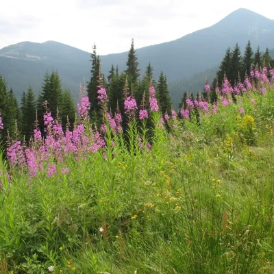 Mountain meadow1 290 mPolonyna MaryshevskaBystretsMaryshevska Polonyna is a small mountain pasture on a north-eastern spur of Chornohora, in the group of Velyka (1,567...
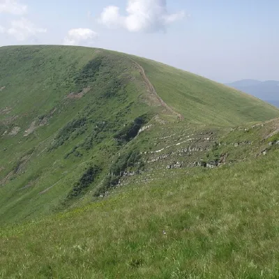 PeakMount DogyaskaChorna Tysaaltitude 1 761 m · Svydovets range38 trails to the topDogyaska is a peak in the Ukrainian Carpathians, located in the central part of the Svydovets mountain range.
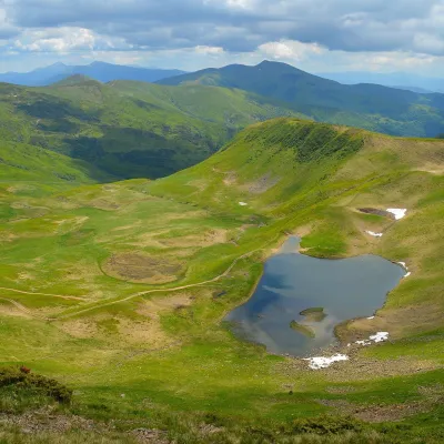 Mountain meadow1 600 mPolonyna HeryshaskaYasinyaPolonyna Heryshaska (also Hereshaska or Herashaska) is a high mountain meadow in the central part of the Svydovets...
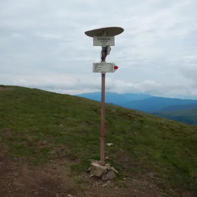 PeakMount HeryshaskaChorna Tysaaltitude 1 762 m · Svydovets rangeMount Heryshaska (1762 m) is a summit on the main ridge of the Svydovets range in Rakhiv district, Zakarpattia Oblast.
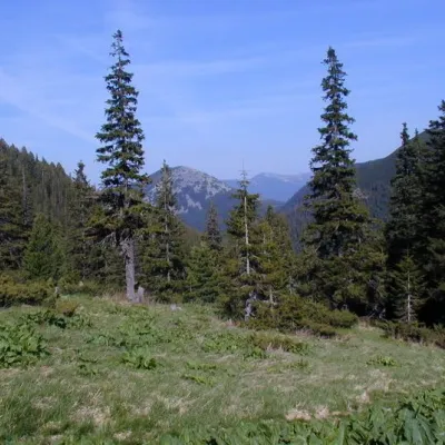 Mountain meadow1 472 mPolonyna PlisceOsmolodaThere are many mountain meadows in the Carpathians, but Plitse stands out from the rest.
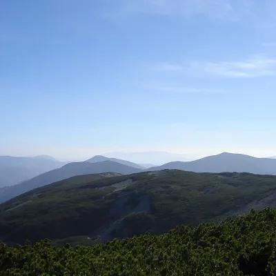 PeakMount StudenetsOsmolodaaltitude 1 600 m · Gorgany range1 trail to the topMount Studenets (also known as Studinets, Studynets) is a 1600-meter peak of the Ukrainian Carpathians, located...
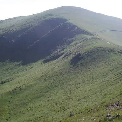 PeakMount TrojaskaChorna Tysaaltitude 1 702 m · Svydovets range37 trails to the topThe mountain is located in Rakhiv district of Zakarpattia region within the central part of the Svydovets mountain...
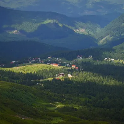 Mountain meadow1 350 mPolonyna DrahobratYasinyaDrahobrat is a high polonyna (mountain pasture) on the northern slopes of the Svydovets massif in the Rakhiv district...
 PeakMount Velyka SivulyaOsmolodaaltitude 1 836 m · Gorgany range25 trails to the topVelyka Sivulya (1836 m) is the highest peak of the Gorgany, on the ridge between the valleys of the Limnytsia and the...
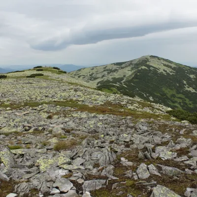 PeakMount Mala SivulyaBystrytsiaaltitude 1 815 m · Gorgany range26 trails to the topMount Mala Syvulya, 1815 meters high, is located next to the Velyka Syvulya on the Syvulyansky ridge.
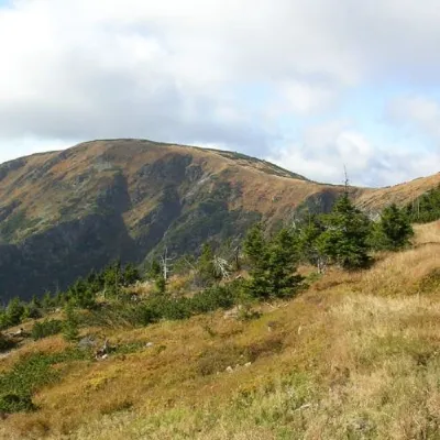 PeakMount Velykyi KotelYasinyaaltitude 1 771 m · Svydovets range39 trails to the topMount Velykyi Kotel is the peak of the Ukrainian Carpathians, which lies within the Svydovets mountain range.
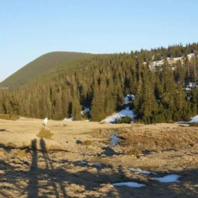 Mountain meadow1 409 mPolonyna RuschynaOsmolodaRuschyna meadow is famous for its panoramic views of the mountains that surround it from all sides and the diversity...
Mountain ranges: Gorgany, Svydovets, Chornohora. In other countries: 🇸🇰 High Tatras, 🇸🇰 Western Tatras, 🇷🇴 Retezat Mountains, 🇸🇰 Low Tatras, 🇷🇴 Bihor-Vlădeasa Mountains, 🇷🇴 Bucegi Mountains, 🇷🇴 Făgăraș Mountains, 🇸🇰 Belianske Tatras
Trails and peaks near which naturalists recorded the species (GBIF, iNaturalist), matched by altitude and habitat. Sightings are not guaranteed.
Sources
- Вікіпедія: Ісландський мох
- Wikipedia (en): Cetraria islandica
- iNaturalist: Cetraria islandica (спостереження в Карпатах)
GBIF · iNaturalist · Wikidata · Distribution data: GBIF.org (CC0 and CC BY records), iNaturalist; names and identifiers: Wikidata (CC0). Text: Karpaty.rocks, checked 09.11.2026.
