Hrynkiv village – Mount Serednia
1.3 kmLength
99 mAscent
280 mDescent
1 617 mMax. altitude
1 436 mMin. altitude
Trail map
Where to stay nearby
Near the start · Osmoloda
Weather and adviceLoading the forecast…
About the trail
Route Hrynkiv village – Mount Serednia. Has green marking (local routes). Along the route you will see: Srednya Mountain.
At a glance
A short route of 1.3 km with 99 m of ascent and 280 m of descent from Hrynkiv village to Mount Serednia. Estimated walking time: about 0.5 h, not counting stops. Difficulty: easy. Waymarking: green.
Water and overnight stays
A spring near the trail: at km 0.5. Some springs run low or dry up in late summer.
When to go
Best time: June to September. In winter only for experienced hikers with proper gear: avalanche danger is possible.
Getting there
Start: Hrynkiv village.
FAQ
- How long does the route take?
- Estimated walking time: about 0.5 h, not counting stops.
- Is there water on the route?
- A spring near the trail: at km 0.5. Some springs run low or dry up in late summer.
Water and shelter on the route
- Spring “Hrotso”km 0.6 from the start · 70 m off the path · Not verified · 1 495 m
- Spring below Mount Seredniakm 1.1 from the start · 150 m off the path · Not verified · 1 438 m
Comments
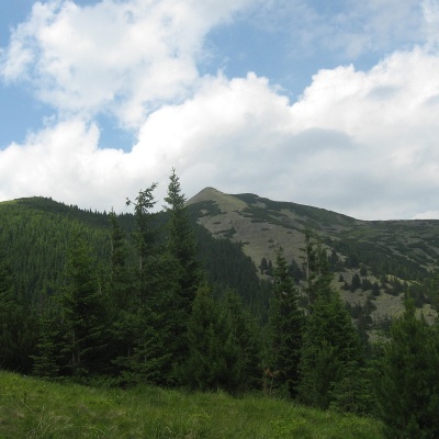
What to see on the trail
Trails nearby
All trails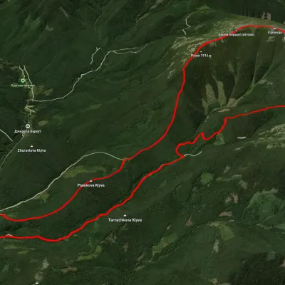 HardTwo-dayUnmarkedStara Huta village loopvia Mount Vysoka, Mount IhrovetsElevation profile21.2 kmascent 1 925 mmax 1 789 m≈ 9 h walking
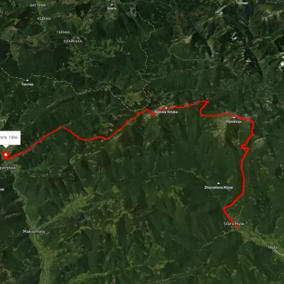 HardMulti-dayUnmarkedStara Huta village to Bystrytsia villagevia Mount Vysoka, Mount Ihrovets +1Elevation profile656–1 795 m39.9 kmascent 2 102 m
 HardMulti-dayUnmarkedMount Velyka Syvulia to Osmoloda villagevia Mount Borevka, Mount Ihrovets +2Elevation profile715–1 818 m27.8 kmascent 1 193 m≈ 9.5 h walking