Crowberry
Never eat berries you are not sure about and never give unknown berries to children. In case of poisoning call 112 (103 in Ukraine).
About
Crowberry is a northern and high-mountain species that primarily grows in the Carpathians of Ukraine: in alpine meadows, rocky slopes, and peat bogs of the highlands. It is rarely found in the plains. It is often seen among subalpine shrubs alongside blueberries and lingonberries.
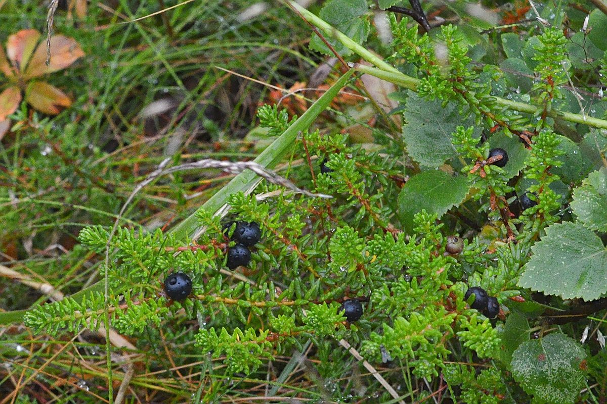
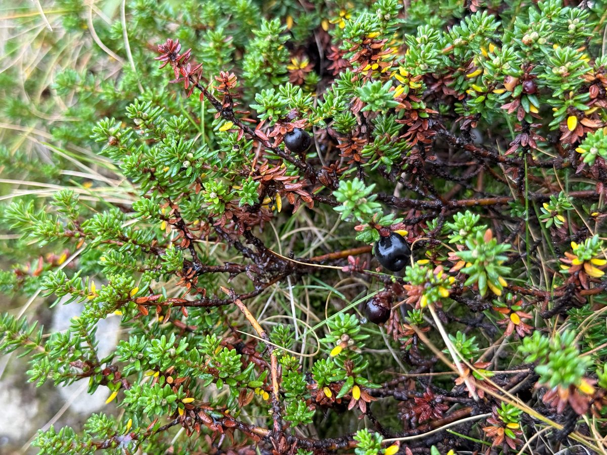
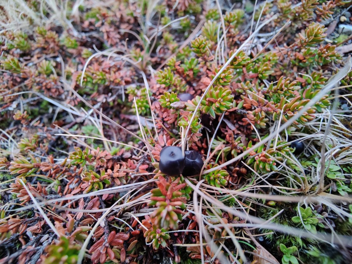
This evergreen subshrub is 10–30 cm tall with prostrate or ascending reddish stems that form dense mats. The leaves are small, 2.5–7 mm, narrow, needle-like, with edges curled downward—this helps the plant retain moisture on windy ridges. Small purple flowers sit in the leaf axils and are easily overlooked. The fruits are round shiny black berries 4–6 mm in diameter, with several seeds; they persist on the branches for a long time, often into winter.
The berries are edible, juicy, with a blandly sour taste. In the north, they are traditionally added to pies and desserts along with other berries and are dried. Since the berries do not fall off in winter, they are consumed by birds and animals even in cold weather.
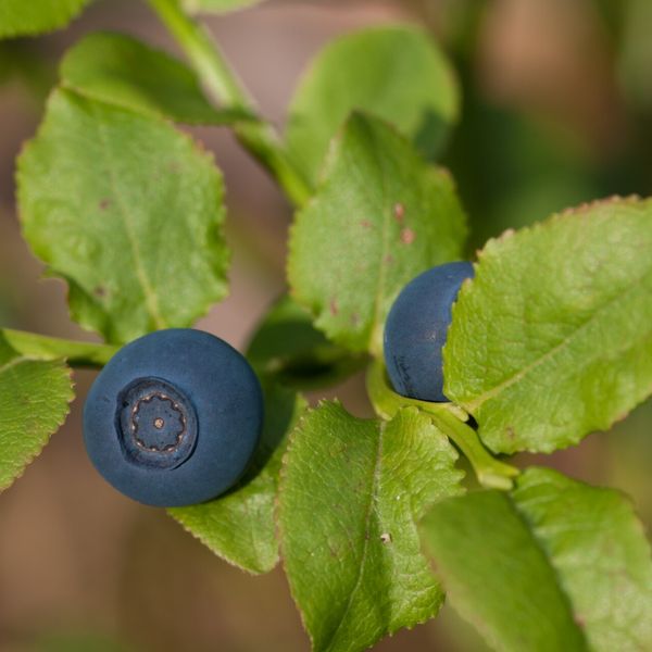
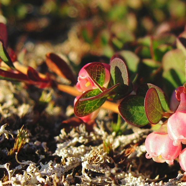
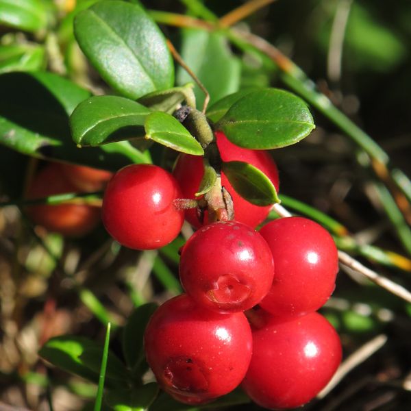
Crowberry is sometimes mistaken for blueberry, but in blueberry, the leaves are broad, flat, and fall off in winter, while the berries are blue-black with a bloom. It is even more important to distinguish crowberry from poisonous plants with black berries: deadly nightshade and belladonna have broad leaves and large solitary berries, while wood sorrel has one blue-black berry above four broad leaves.
Where in the Carpathians

The map shows where naturalists recorded the species (GBIF, CC0 and CC BY records), not every place it lives. The Ukrainian Carpathians are less studied, so a blank area does not mean the species is absent.
- Countries
- Slovakia · Ukraine · Poland · Romania · Czechia
- Mountain ranges
- High Tatras, Low Tatras, Western Tatras, Lesser Fatra, Żywiec Beskids, Gorgany, Choč Mountains, Chornohora, Krasna Polonyna, Svydovets
- Altitude belts
- Beech forests (600–1200 m) · Conifer forests (1200–1600 m) · Subalpine belt (1600–1900 m)
When to see it
| Jan | Feb | Mar | Apr | May | Jun | Jul | Aug | Sep | Oct | Nov | Dec | |
|---|---|---|---|---|---|---|---|---|---|---|---|---|
| Fruit |
From naturalists’ observations in the Carpathians (iNaturalist, research grade): the darker the cell, the more often the species is seen that month.
Safety
Before picking a black berry, check that it grows on a low shrub with needle-like leaves. Do not give unfamiliar berries to children.
Look-alikes — how to tell them apart
Leaves are broad, flat, oval, fall off in winter; berries are blue-black with a bloom, stain fingers.
One blue-black berry at the top of a herbaceous stem above a ring of four broad leaves.
In folk tradition
Berries are eaten fresh, traditionally added to pies and desserts along with other berries, and dried.
Protection and rules
Not listed in the Red Book of Ukraine. In Poland, it is under partial protection. Collecting is prohibited in nature reserves and protected areas of national parks.
FAQ
Is crowberry edible?
Yes, the berries are edible, but they have a blandly sour taste. They are usually mixed with other berries.
How does crowberry differ from blueberry?
Crowberry has narrow needle-like evergreen leaves and shiny black berries. Blueberry has broad leaves that fall off in winter, and its berries are blue with a bloom.
Similar species
Where to meet it
Trails
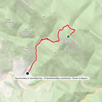 EasyOne-dayMount Khomiak to Polianytsia villagevia Barania polonynaElevation profile862–1 542 m7.2 kmascent 10 m≈ 2 h walking
 ModerateOne-dayMarkedTatariv village loopvia Mount KhomiakElevation profile788–1 483 m10.2 kmascent 694 m≈ 3.5 h walking
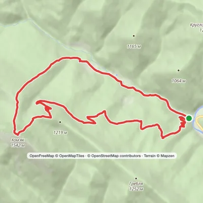 ModerateOne-dayMarkedZhenets tract loopvia Mount KhomiakElevation profile650–1 542 m14.1 kmascent 875 m≈ 5 h walking
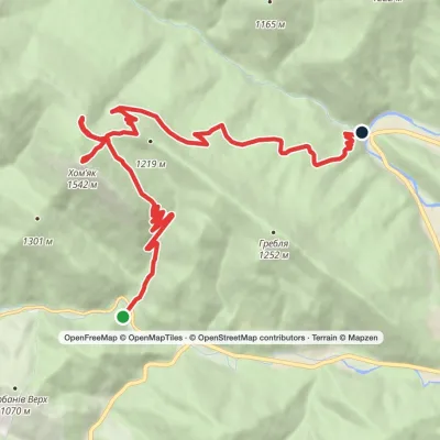 ModerateOne-dayMarkedYablunytsia village to Zhenets tract (Mykulychyn village)via Mount Khomiak, Khomiakiv polonynaElevation profile653–1 542 m14.8 kmascent 770 m≈ 5 h walking
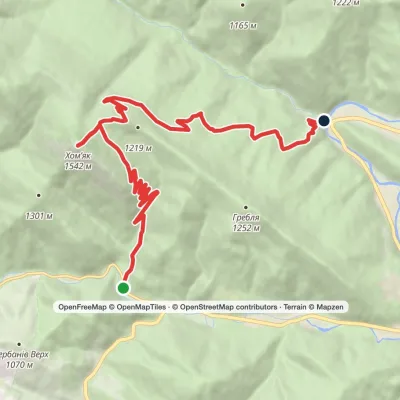 ModerateOne-dayMarkedPolianytsia village to Zhenets tract (Mykulychyn village)via Mount KhomiakElevation profile654–1 542 m14.6 kmascent 758 m≈ 5 h walking
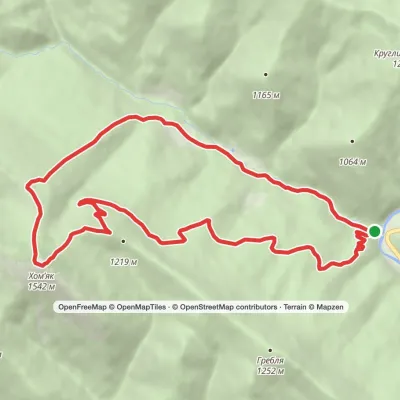 ModerateOne-dayMarkedZhenets tract Zhenets tract (Mykulychyn village)via Mount KhomiakElevation profile650–1 542 m13.2 kmascent 888 m≈ 5 h walking
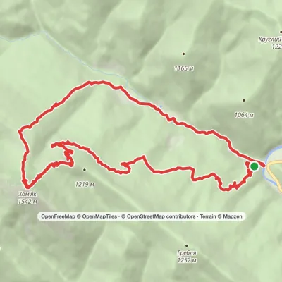 ModerateOne-dayMarkedZhenets tract to Zhenets tract (Mykulychyn village)via Khomiakiv polonyna, Mount KhomiakElevation profile644–1 542 m21.3 kmascent 856 m≈ 7 h walking
 EasyOne-dayMarkedZhynets tract road to Bukovelvia Khomiakiv polonynaElevation profile779–1 352 m7.7 kmascent 572 m≈ 3 h walking
 HardTwo-dayYablunytsia village to Bystrytsia villagevia Mount Khomiak, Mount Syniak +3Elevation profile745–1 754 m38.2 kmascent 2 127 m≈ 13 h walking
 Hard1–2 daysBystrytsia village to Zhenets tractvia Mount Vedmezhyk, Mount Dovbushanka +3Elevation profile652–1 754 m38.5 kmascent 1 957 m≈ 13 h walking
 Hard1–2 daysBystrytsia village loopvia Mount Vedmezhyk, Mount DovbushankaElevation profile816–1 754 m34.9 kmascent 1 221 m≈ 11 h walking
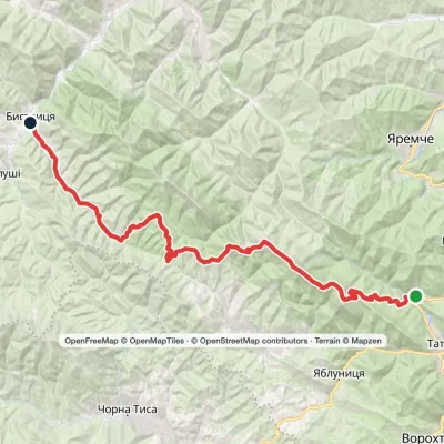 HardTwo-dayZhenets tract (Mykulychyn village) to Bystrytsia villagevia Mount Khomiak, Mount Syniak +1Elevation profile643–1 665 m45.3 kmascent 1 626 m
Peaks and meadows
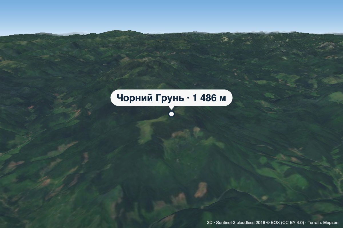 PeakMount Chornyi HrunChorna Tysaaltitude 1 486 m · Gorgany rangeChornyi Hrun is a 1,486 m mountain in the Gorgany, at the south-eastern end of the Bratkivskyi Ridge.
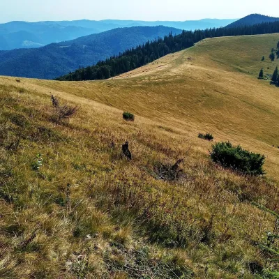 Mountain meadow1 200 mPolonyna Yavirnyk (Yaremche)YaremchePolonyna Yavirnyk is a large pasture on the south-eastern slopes of the Yavirnyk ridge in the Gorgany, right above...
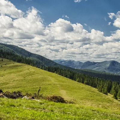 Mountain meadow1 295 mPolonyna KhomyakovTatarivYou can climb here from the Guk waterfall even in a short winter day, spend the night, and in the morning go to the...
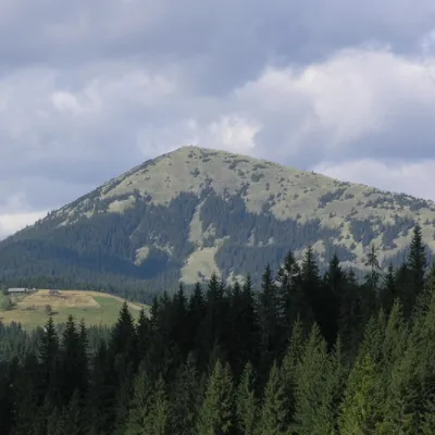 PeakMount KhomiakTatarivaltitude 1 542 m · Chornohora range40 trails to the topKhomiak (1542 m) is a cone-shaped peak of the Gorgany range above Tatariv and Polianytsia; a statue of the Virgin...
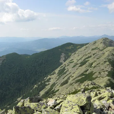 PeakMount VedmezhikBystrytsiaaltitude 1 737 m · Gorgany range10 trails to the topMount Vedmezhyk is a massive 1,737-meter peak of the Ukrainian Carpathians, located on the Dovbushansky ridge of the...
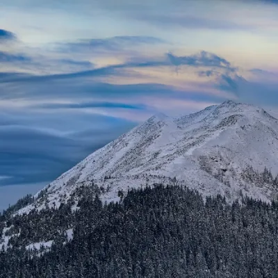 PeakMount SinyakTatarivaltitude 1 665 m · Gorgany range33 trails to the topSinyak (1665 m) is a rocky peak of the Gorgany range above Polianytsia, within the Carpathian National Nature Park;...
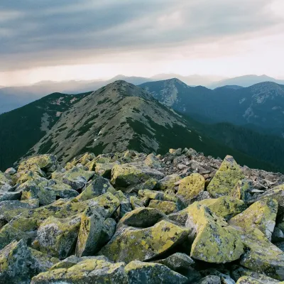 PeakMount Kiziiskyi GorganBystrytsiaaltitude 1 617 m · Gorgany rangeKiziiskyi Gorgan (also Kozii Gorgan or Kozy Hora) is a 1,617 m mountain in the Gorgany.
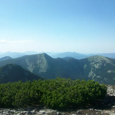 PeakMount PolenskyiBystrytsiaaltitude 1 693 m · Gorgany rangePolenskyi (also Polensky, Polenski, Polenska) is a 1,693 m mountain in the Gorgany massif.
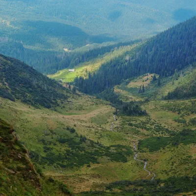 Mountain meadow1 200 mPolonyna ApshynetsChorna TysaApshynets polonyna (Apshyniaska) is a pasture in the upper reaches of the Apshynets stream on the northern slopes of...
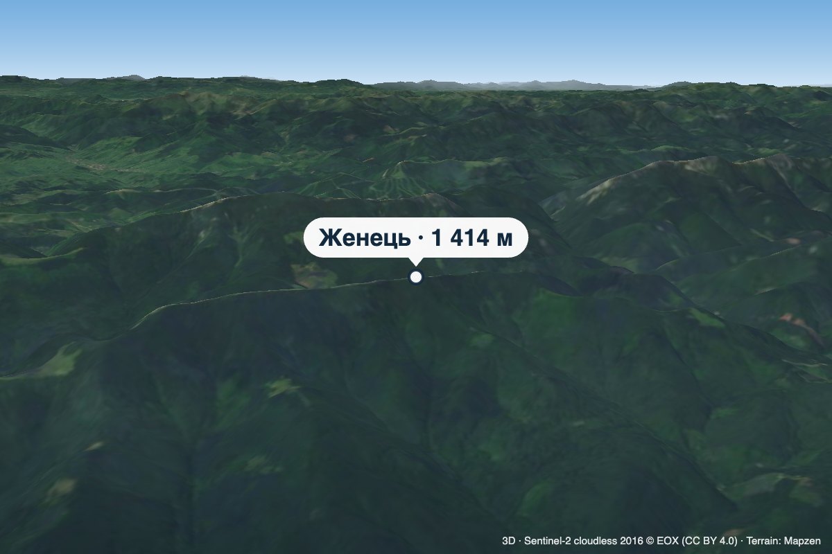 PeakMount ZhenetsMykulychynaltitude 1 414 m · Gorgany rangeZhenets is a 1,414 m summit in the south-eastern Gorgany, in the Nadvirna district of Ivano-Frankivsk Oblast.
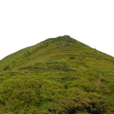 PeakMount TatarukaChorna Tysaaltitude 1 707 m · Svydovets range17 trails to the topMount Tataruka is the peak of the Ukrainian Carpathians, located in the northern part of the Svydovets mountain range.
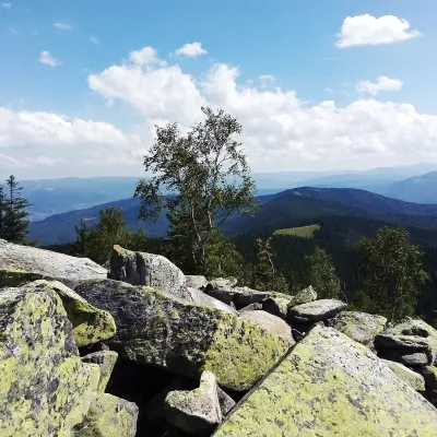 PeakMount Yavirnyk-GorganYaremchealtitude 1 467 m · Gorgany rangeYavirnyk-Gorgan is the highest summit of the Yavirnyk ridge in the south-eastern Gorgany, 1,467 m high.
Waters and waterfalls
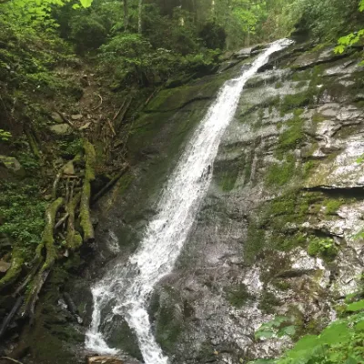 WaterfallNarinetskyi waterfall, MykulychynMykulychynNarinetskyi Waterfall is a waterfall in the Ukrainian Carpathians, on the Noretskyi Stream (a left tributary of the...
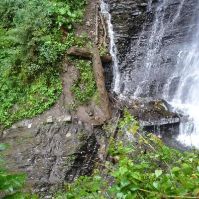 WaterfallZhenetsky Hook waterfallMykulychynZhenetskyi Huk is one of the most convenient Carpathian waterfalls for tourists, as it is accessible by a direct,...
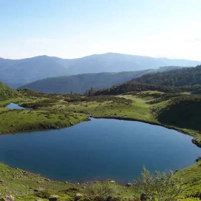 LakeLake VorozheskayaChorna TysaThe real pearl of the Carpathians - Lake Vorozheska (other names - Vorozheska, Triton ) - is a hydrological natural...
Mountain ranges: Gorgany, Chornohora, Krasna Polonyna, Svydovets, Skole Beskids. In other countries: 🇸🇰 High Tatras, 🇸🇰 Low Tatras, 🇸🇰 Western Tatras, 🇸🇰 Lesser Fatra, 🇵🇱 Żywiec Beskids, 🇸🇰 Choč Mountains, 🇸🇰 Belianske Tatras, 🇷🇴 Bihor-Vlădeasa Mountains, 🇸🇰 Greater Fatra
Trails and peaks near which naturalists recorded the species (GBIF, iNaturalist), matched by altitude and habitat. Sightings are not guaranteed.
Sources
- Вікіпедія: Водянка чорна
- Wikipedia (en): Empetrum nigrum
- Rozporządzenie Ministra Środowiska z 9.10.2014 w sprawie ochrony gatunkowej roślin, Dz.U. 2014 poz. 1409 (Польща)
- iNaturalist: Empetrum nigrum (спостереження в Карпатах)
GBIF · iNaturalist · Wikidata · Distribution data: GBIF.org (CC0 and CC BY records), iNaturalist; names and identifiers: Wikidata (CC0). Text: Karpaty.rocks, checked 09.11.2026.
