Polonyna Yavirnyk (Yaremche)
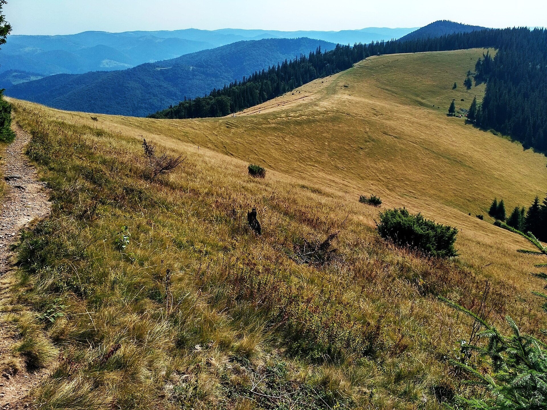
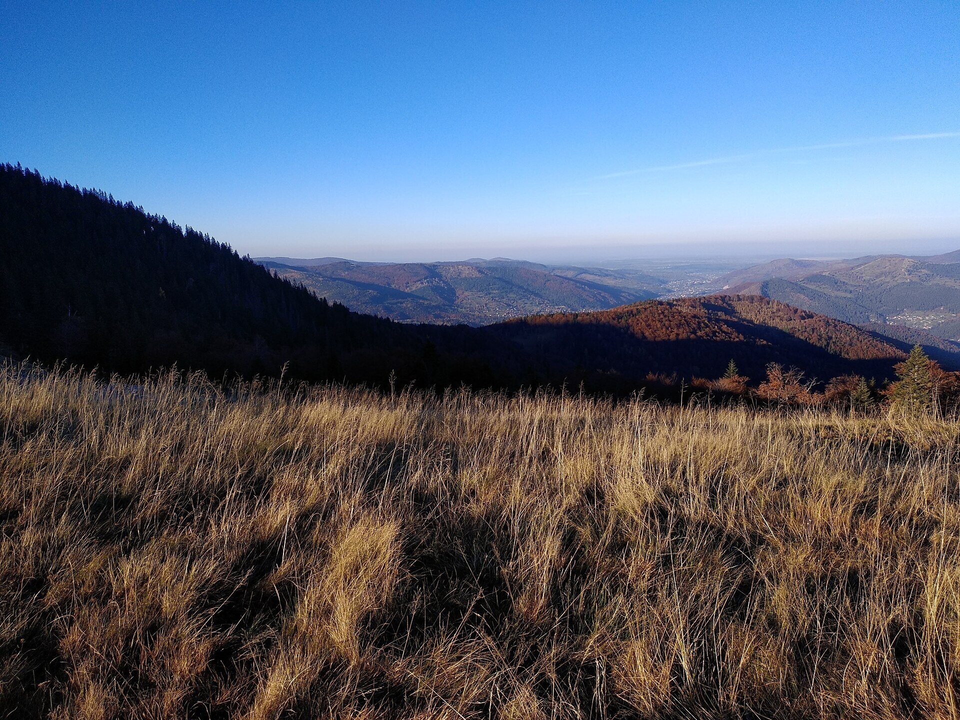
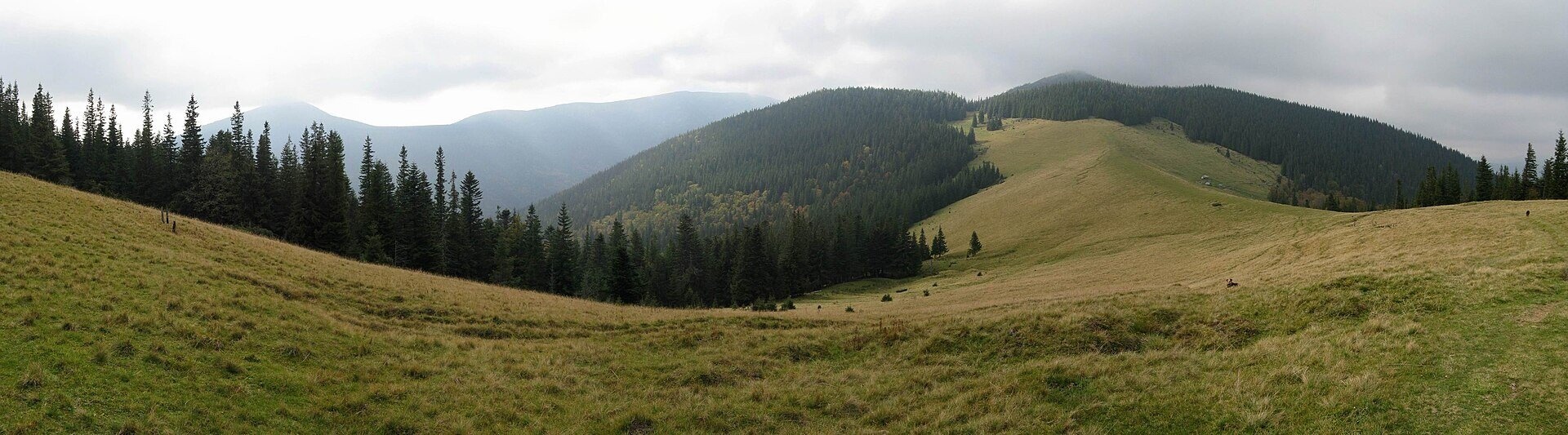
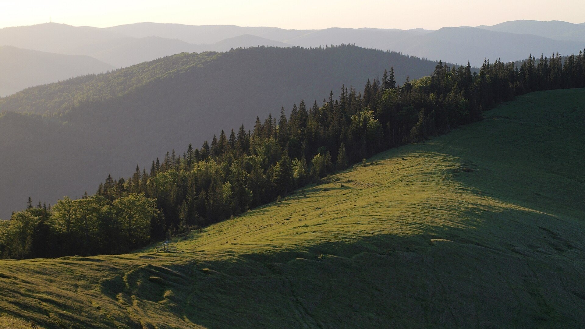
Polonyna Yavirnyk is a large pasture on the south-eastern slopes of the Yavirnyk ridge in the Gorgany, right above Yaremche. It lies below the summit of Horhan Yavirnytskyi (1431.6 m), a few kilometres from the ridge's highest peak, Yavirnyk-Gorgan (1467 m). It is in Nadvirna district of Ivano-Frankivsk oblast, Yaremche community. The meadows spread at roughly 1160–1280 m; hiking guides usually give its height as 1200 m.
Do not confuse it with Polonyna Shchavnyk (Yavirnyk) in Chornohora near Shybene — that is a completely different place. Yavirnyk above Yaremche is one of the most popular day-hike destinations from the resort town: almost every route onto the ridge passes through it. The south-eastern and central parts of the ridge lie within the Carpathian National Nature Park.
What you will see
The pasture looks out over Khomiak, the Syniak ridge and Makovytsia above Yaremche. Climb higher, to the summits of the ridge, and you see Dovbushanka, Malyi Gorgan and Vedmezhyk and, in clear weather, Chornohora with Hoverla and Petros and the mountains of the Pokuttia-Bukovyna Carpathians to the east.
Above the pasture begin the typical Gorgany boulder fields and dwarf pine, below it mixed and coniferous forests dominated by fir and spruce, with some patches of pine. In autumn the pasture turns golden and is especially beautiful.
Shepherds, huts and cheese
In summer cattle graze on Yavirnyk, and sheep can be seen on the slopes as well. Sometimes you can meet herders here and buy mountain cheese or sheep's milk, but there is no regular cheese dairy on the pasture — whether you get the chance depends on the season. There is a cattle trough and an old hut on the pasture.
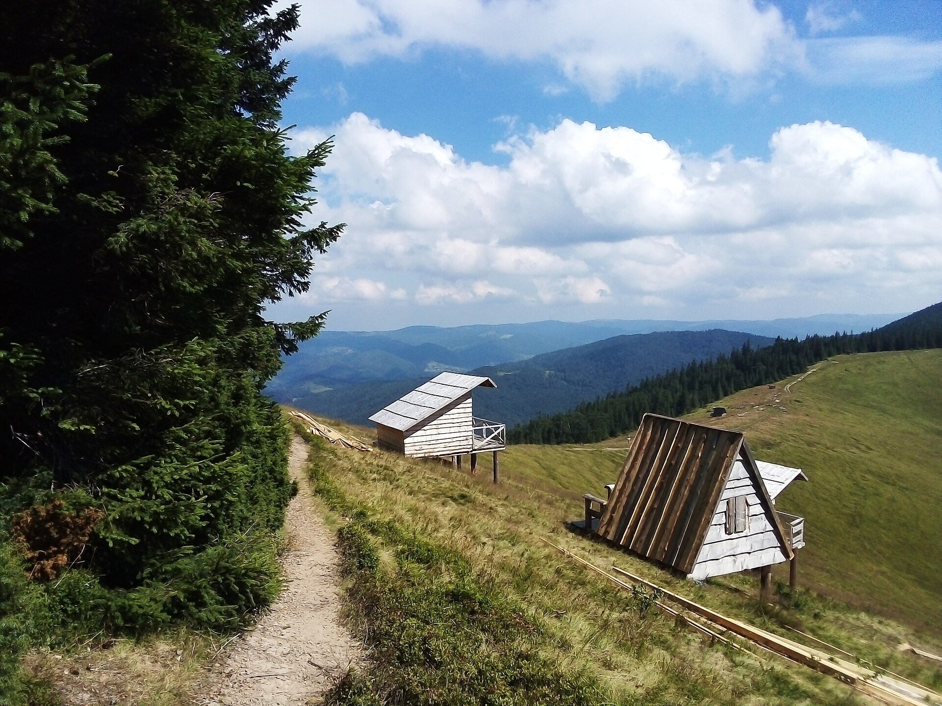
In recent years the pasture has changed noticeably: once rather wild, it is now being built up with small wooden cabins for tourists that can be booked for the night.
History and legends
The name of the ridge, like many Carpathian place names "Yavirnyk", comes from yavir, the sycamore maple. We found no reliable information about legends of this particular pasture. What is known is that grenades and anti-tank shells were found around the ridge after the Second World War — reminders of the fighting that took place in these mountains.
Routes
- Yamna (Yaremche) — Polonyna Yavirnyk: about 5 km one way, about 620 m of ascent, roughly 2.5 hours; waymarking is partial (route description). Overall, the climb from Yaremche takes 2.5 to 4 hours depending on the weight of your pack.
- Loop Yamna — Polonyna Yavirnyk — Kruhloiavirnyk — Yamna: about 14.3 km, about 1080 m of ascent, blue waymarks (description). The section from Kruhloiavirnyk to Yamna is rarely used and overgrown in places.
- Yaremche — Yavirnyk-Gorgan — Yaremche: about 14.5 km, roughly 7 hours, about 945 m of height difference, blue and yellow waymarks; the hardest part is the steep unmarked stretch between the summit and the pasture (description).
- Loop from Bahrovets across the Yavir, Vovcha and Svynianka pastures: about 10 km and 550 m of ascent, yellow waymarks, with a blue spur to Yavirnyk. Especially beautiful in autumn.
- Mykulychyn — Polonyna Yavirnyk — Yaremche: about 16.3 km, about 830 m of ascent, roughly 5.5 hours (description).
- Tatariv — Pidlisniv ridge — Polonyna Yavirnyk — Yamna: about 25.4 km, about 1580 m of ascent, roughly 9 hours (description).
- Polianytsia — Syniak — Khomiak — Zhenets valley — Polonyna Yavirnyk — Yaremche: about 33.8 km, convenient over two days (description).
From the pasture to the Zhenetskyi Huk waterfall it is about 1.5 km. For people who do not hike, Yavirnyk is demanding: the climb is steep and there is no lift. An easier alternative is a walk to the Bahrovets waterfall or the Probii waterfall in Yaremche.
Getting there
Yaremche is a railway station on the Ivano-Frankivsk — Rakhiv line, and buses also run here from Ivano-Frankivsk, Lviv and Kolomyia. The path starts in the Yamna suburb (Franka Street) and leads through the hamlet of Bahrovets, where a signpost reads "To Polonyna Yavirnyk". With a heavy pack, hikers recommend taking a taxi to the end of the tarmac — on foot from the bus station it is about another hour and a half. Alternative starting points are Mykulychyn and Tatariv, both on the same railway.
When to go and weather
The most comfortable time is from mid-April to October, when the paths are visible and mostly dry. In summer many springs weaken, and by late summer some dry up. Autumn is the most beautiful season. In winter, after a long dry spell, the path may be well trodden, but off it the snow is knee-deep; you need snowshoes or winter trekking poles, and crampons on icy slopes.
Water, shelters and overnight
On the pasture there is a large, permanent, developed spring and several smaller ones, and the forest path crosses streams several times. There are tables, benches and a weather shelter, and spots for tents. Nearby are a spring, a small cabin and a hut. The wooden cabins on the pasture can be booked: there is no electricity or shower, and the toilet is outside. There are no springs between Yavirnyk-Gorgan and Zghar. Accommodation before and after the hike is available in Yaremche, Yamna, Mykulychyn and Tatariv.
Safety
- Stay on the paths: the forest has moss-covered boulders and windfall, and the descent from the pasture to the Zhenets valley disappears in places.
- The rocky section of the ridge (about 700 m) can take around an hour — allow time and take care.
- If you find a metal object that looks like a shell, do not touch it and call 112.
- Herding dogs may be near the cattle: walk around the herd and call the herder.
- Thunderstorms and fog are dangerous on the open slope; carry a GPS.
- Follow the rules of the Carpathian National Nature Park; in an emergency call 112 or 103.
What visitors say
- In the morning the pasture is almost empty — hikers value the quiet and space, even though Yavirnyk is popular.
- The climb from Yamna is steep and long, but the route itself is manageable even for beginners.
- The cabins on the pasture are picturesque and have no electricity; people advise booking ahead.
- Some hikers regret that the once wild pasture is being built up.
- Khomiak is best seen from the pasture; for a wider panorama it is worth climbing to the summits of the ridge.
- The rocky stretches above the pasture are tiring, and with a heavy pack it is better to take a taxi to the end of the tarmac.
Polonynas and peaks around
- Mount Yavirnyk-Gorgan — the highest summit of the ridge (1467 m).
- Mount Zhenets — a neighbouring summit of the Yavirnyk ridge.
- Polonyna Khomiakiv — the pasture below Khomiak, south of Yavirnyk.
- Mount Khomiak and Mount Syniak — the nearest high Gorgany peaks, visible from the pasture.
- Makovytsia — a mountain with pastures above Yaremche.
- Zhenetskyi Huk waterfall — a 15-metre waterfall below the pasture.
- Carpathian National Nature Park — the park that part of the ridge belongs to.
Photos: Maximym44, CC BY-SA 4.0, Wikimedia Commons; Andryh2002, CC BY-SA 4.0, Wikimedia Commons; Славутич 18, CC BY-SA 4.0, Wikimedia Commons; Andrey Tretyakov, CC BY-SA 3.0, Wikimedia Commons; Голяка Микола, CC BY-SA 4.0, Wikimedia Commons; Gross Raymond, CC BY-SA 4.0, Wikimedia Commons.
Video 2
 Похід у Карпати: полонина Явірник і гора Ґорґан Явірницький | Легкий маршрут Ґорґаниthisisksenya

Location on the map
Water and shelter nearby
- Spring (Mykulychyn, 9)120 m · Not verified · 1 194 m
- Cabin (Mykulychyn)190 m · Not verified · 1 199 m
- Hut (Mykulychyn, 2)220 m · Not verified · 1 197 m
- Spring (Mykulychyn, 12)250 m · Not verified · 1 161 m
- Spring (Mykulychyn, 13)270 m · Not verified · 1 174 m
- Spring (Mykulychyn, 6)280 m · Not verified · 1 228 m
- Spring (Mykulychyn, 7)290 m · Not verified · 1 195 m
- Spring (Mykulychyn, 11)330 m · Not verified · 1 115 m
- Spring (Mykulychyn, 8)540 m · Not verified · 1 173 m
- Spring (Mykulychyn, 4)570 m · Not verified · 1 219 m
- Hut near Polonyna Yavirnyk1.2 km · Locked · 1 038 m
- Spring (Mykulychyn, 14)1.2 km · Not verified · 1 037 m
- Spring (Mykulychyn, 17)1.6 km · Not verified · 957 m
- Spring (Tatariv)1.7 km · Not verified · 836 m
- Spring below Mount Khomiak (6)1.7 km · Dried up · 803 m
- Spring (Tatariv, 2)1.8 km · Not verified · 831 m
Comments
Places to stay nearby
All stays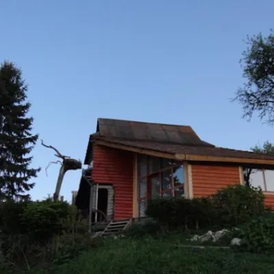 HotelCottage "Bahryvets"Yaremche3.6 km from Polonyna Yavirnyk (Yaremche)SaunaTransferNearby: Probiy waterfall 1.3 kmDovbush's stone 2.2 km26 trails
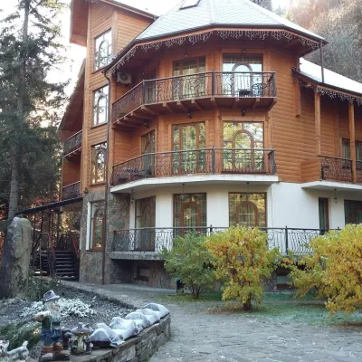 HotelHotel "Dikyi Med" TatarivTatariv3.7 km from Polonyna Yavirnyk (Yaremche)SaunaSPABBQNearby: Narinetskyi waterfall 2.2 kmMt Khomiak 3.6 km47 trails
 CottageHomestead "Karpaty Tisha"Yaremche4 km from Polonyna Yavirnyk (Yaremche)BBQKitchenParkingNearby: Probiy waterfall 600 mDovbush's stone 1.1 km24 trails
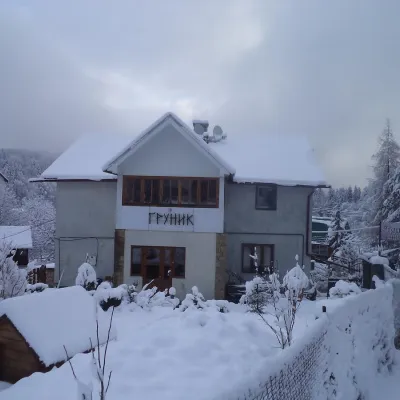 HotelGuest House "Hrunyk"Yaremche4 km from Polonyna Yavirnyk (Yaremche)KitchenTransferNearby: Probiy waterfall 600 mDovbush's stone 1.0 km24 trails
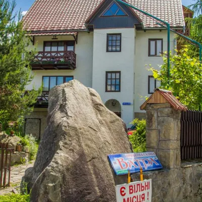 HotelHotel "Vatra" MykulychynYaremche4 km from Polonyna Yavirnyk (Yaremche)PoolSaunaBBQNearby: Probiy waterfall 600 mDovbush's stone 1.0 km24 trails
 HotelHotel "Hirskaya Sonata" MykulychynMykulychyn4.1 km from Polonyna Yavirnyk (Yaremche)SaunaWi‑FiTransferNearby: Narinetskyi waterfall 2.8 kmMt Khomiak 4.4 km51 trails
Trails nearby
All trails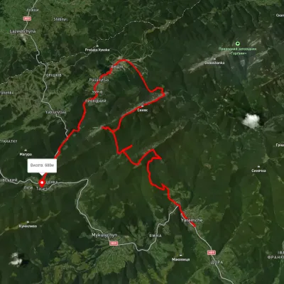 HardMulti-dayUnmarkedYaremche to Tatariv villagevia the Yavirnyk ridge, Zhenetskyi Huk Waterfall +4Elevation profile510–1 658 m46.8 kmascent 2 435 munder 1 km from Polonyna Yavirnyk (Yaremche)
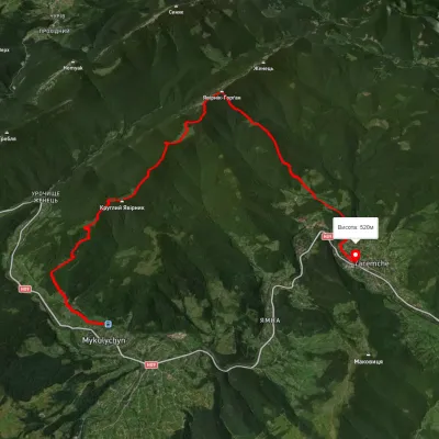 ModerateTwo-dayUnmarkedMykulychyn village to Yaremchevia Mount YavirnykElevation profile500–1 499 m19.3 kmascent 1 052 m≈ 7 h walkingunder 1 km from Polonyna Yavirnyk (Yaremche)
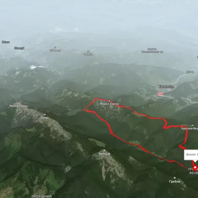 HardTwo-dayUnmarkedZhenets tract to Zhenets tract (Mykulychyn village)via Zhenetskyi Huk Waterfall, Yavirnyk ridgeElevation profile665–1 492 m20.2 kmascent 1 404 m≈ 8 h walkingunder 1 km from Polonyna Yavirnyk (Yaremche)
Nearby attractions
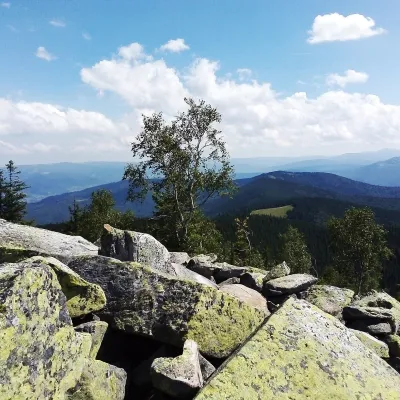 PeakMount Yavirnyk-GorganYaremchealtitude 1 467 m · Gorgany range1.7 km from Polonyna Yavirnyk (Yaremche)Yavirnyk-Gorgan is the highest summit of the Yavirnyk ridge in the south-eastern Gorgany, 1,467 m high.
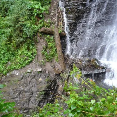 WaterfallZhenetsky Hook waterfallMykulychyn1.7 km from Polonyna Yavirnyk (Yaremche)Zhenetskyi Huk is one of the most convenient Carpathian waterfalls for tourists, as it is accessible by a direct, asphalt road.
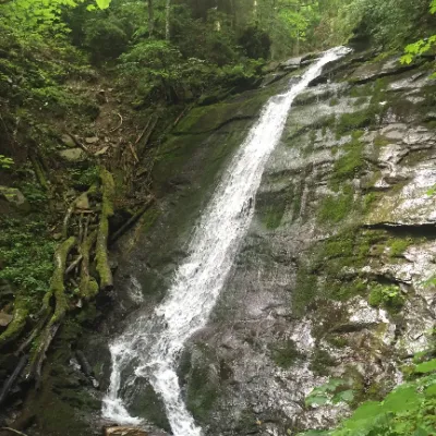 WaterfallNarinetskyi waterfall, MykulychynMykulychyn1.8 km from Polonyna Yavirnyk (Yaremche)Narinetskyi Waterfall is a waterfall in the Ukrainian Carpathians, on the Noretskyi Stream (a left tributary of the Zhenets River).
Craft nearby
All craft places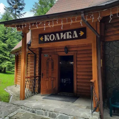 Koliby & Hutsul cuisineKolyba “Dykyi Med”, TatarivTatariv3.6 km from Polonyna Yavirnyk (Yaremche)The Dykyi Med (“Wild Honey”) kolyba is the heart of a private estate of the same name in the Zhenets area of Tatariv, in a valley the locals call the Honey Valley.
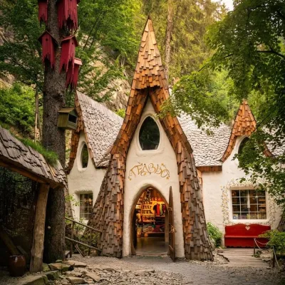 Theme parksGedzio Park of Legends, YaremcheYaremche4.6 km from Polonyna Yavirnyk (Yaremche)Gedzio Park of Legends is a fairy-tale theme park in Yaremche, a few steps from the Probiy waterfall. It is designed as the imaginary settlement of Obinor, home to...
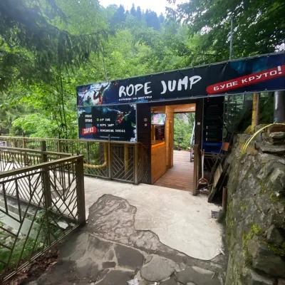 Adventures & attractionsRope jumping at Probiy waterfall, YaremcheYaremche4.6 km from Polonyna Yavirnyk (Yaremche)Rope jumping at the Probiy waterfall is the loudest adrenaline thrill in Yaremche. The Active Day team runs jumps right above the rocky canyon of the Prut, a few dozen...
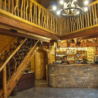 Koliby & Hutsul cuisineNa Penkakh Koliba, YaremcheYaremche4.6 km from Polonyna Yavirnyk (Yaremche)Na Penkakh koliba in Yaremche (“On the Stumps”) sits on quiet Svobody Street, right at the forest edge and near the start of the popular Dovbush Trail.
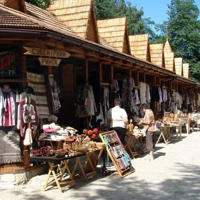 Markets & fairsHutsul souvenir market, YaremcheYaremche5 km from Polonyna Yavirnyk (Yaremche)Yaremche is undoubtedly the center of Hutsul crafts, and everyone knows it. The Hutsuls are an ancient and at the same time interesting ethnic group of Ukrainians...
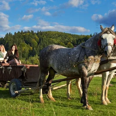 Horse ridingHorse Trails from Kamianyi Dvir Cottage, YaremcheYaremche5.1 km from Polonyna Yavirnyk (Yaremche)Besides accommodation, the Kamianyi Dvir (“Stone Yard”) cottage on Hrushevskoho Street in Yaremche is known for its horse rides.
