Polianytsia village — to Zhenets tract (Mykulychyn village), via Mount Khomiak
Unmarked trailmore
It may be partly marked. Unmarked trails have no information boards, signposts or auxiliary signs (water, campsite, etc.). The decision to walk the trail is entirely your own responsibility.
Trail map
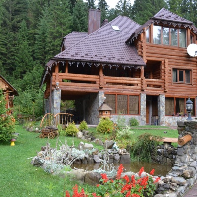
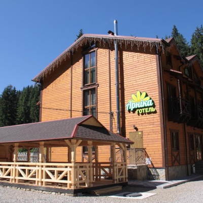
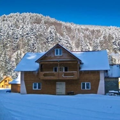
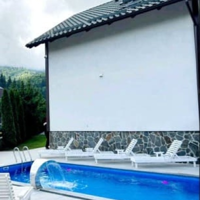
Where to stay nearby
About the trail
Route Polianytsia village, via Mount Khomiak to Zhenets tract (Mykulychyn village). Along the route you will see: Mount Khomiak, Polonyna Khomyakov.
At a glance
A one-day route of 14.6 km with 852 m of ascent from Polianytsia village to Zhenets tract (Mykulychyn village). Estimated walking time: about 5 h, not counting stops. Difficulty: moderate. Waymarking is missing or partial.
Route stages
- 0–7 kmClimb of 680 m to Mount Khomiak (1,542 m)
- 7–15 kmDescent of 800 m to Zhenets tract (Mykulychyn village)
Steepest kilometre: km 5–7, a climb of 260 m (≈23%), near Mount Khomiak.
Water and overnight stays
Springs near the trail: at km 1, 2, 5, 6, 10, 13 and 15.
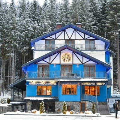
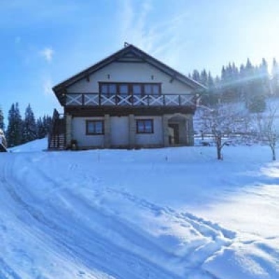
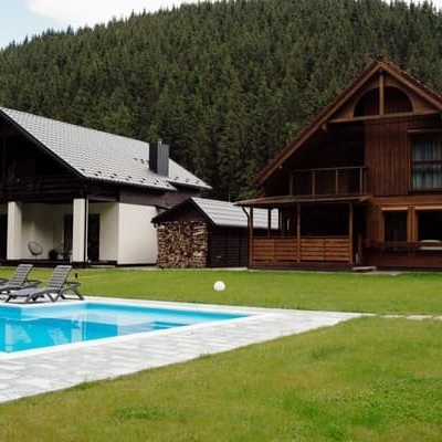
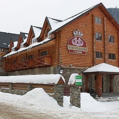
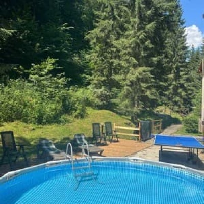
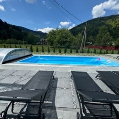
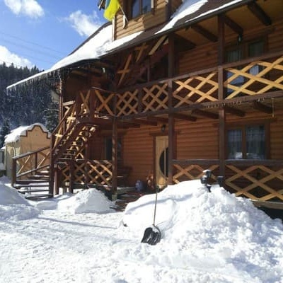
Places to stay near the start: Polianytsia (Bukovel); near the finish: Mykulychyn.
When to go
Best time: May to October. In winter deep snow is possible, so experience and winter gear are needed.
Getting there
Start: Polianytsia village. Most places to stay near the start are in Polianytsia (Bukovel). This is a one-way route: the finish is 4 km from the start in a straight line, so plan your way back in advance.
FAQ
- How long does the route take?
- Estimated walking time: about 5 h, not counting stops.
- Is there water on the route?
- Springs near the trail: at km 1, 2, 5, 6, 10, 13 and 15.
- Where can I stay overnight?
- Places to stay near the start: Polianytsia (Bukovel); near the finish: Mykulychyn.
Water and shelter on the route
- Spring below Mount Khomiak (8)km 0.8 from the start · Not verified · 879 m
- Spring below Mount Khomiak (10)km 2 from the start · Not verified · 978 m
- Spring below Mount Khomiak (7)km 4.2 from the start · Not verified · 1 184 m
- Spring on Polonyna Khomiakiv (3)km 5.6 from the start · 200 m off the path · Not verified · 1 335 m
- Spring below Mount Khomiak (11)km 8.9 from the start · Not verified · 1 085 m
- Stream water (Tatariv)km 11.2 from the start · Not verified · 889 m
- Spring (Tatariv, 3)km 11.9 from the start · Not verified · 840 m
- Spring (Tatariv, 4)km 13.1 from the start · 130 m off the path · Not verified · 652 m
Comments
What to see on the trail
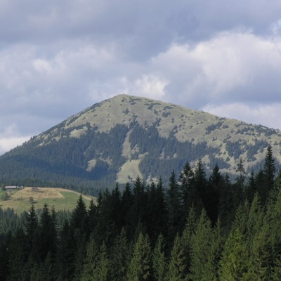 Mount Khomiakaltitude 1 542 mKhomyak is a 1542-meter-high peak of the Gorgan mountain range. Rumor has it that the mountain was named so because its shape resembles the back of...
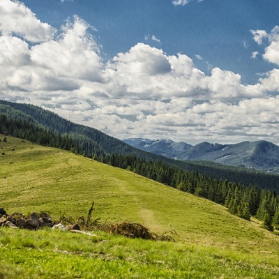 Polonyna Khomyakovaltitude 1 525 mA large sloping meadow on the northern slopes of the Sinyaka-Homiak ridge. From here, there are trails to the valley of the Zhenets stream (a long...
Trails nearby
All trails HardMulti-dayMarkedEast Carpathian Tourist TrailElevation profile635–1 819 m278.1 kmascent 14 105 m
 ModerateOne-dayUnmarkedTatariv village loopvia Mount KhomiakElevation profile765–1 472 m10.2 kmascent 699 m≈ 4 h walking
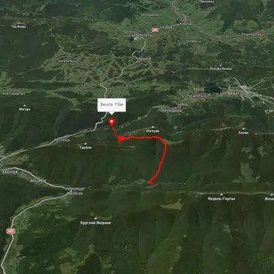 ModerateOne-dayMarkedZhynets tract road to Bukovelvia Khomiakiv polonynaElevation profile786–1 385 m7.7 kmascent 846 m≈ 3.5 h walking