Tatras
Tatry
The Tatras are the highest mountains of the whole Carpathians, on the border of Slovakia and Poland. Granite ridges, more than a hundred glacial lakes, waterfalls and rocky valleys, with national parks on both sides — TANAP and TPN. Trails are clearly waymarked, but the high-mountain paths on the Slovak side are closed from 1 November to 15 June, and the Polish Tatras charge an entry fee and do not allow walking at night.
- Elevation
- 472–2,655 m
- Highest summit
- Gerlachovský štít, 2,655 m
- Area
- ≈ 1,460 km²
- Countries
- Slovakia, Poland
- Part of
- Inner Western Carpathians
Ranges and massifs
On the map
Waymarked trails · 43
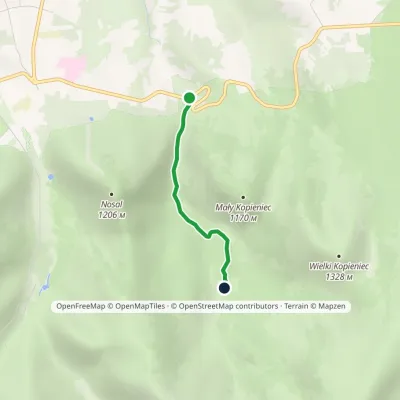 EasyOne-dayMarkedJaszczurówka Olczyska MeadowElevation profile898–1 048 m2 kmascent 137 m≈ 45 min walking
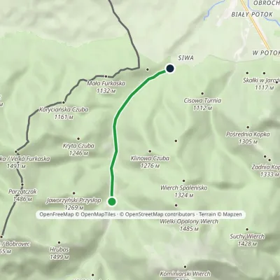 EasyOne-dayMarkedSiwa Polana Dudowa ValleyElevation profile939–1 018 m3.2 km≈ 45 min walking
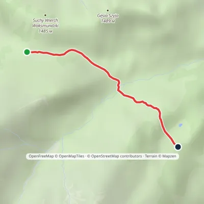 EasyOne-dayMarkedRówień Waksmundzka Polana Pod WołoszynemElevation profile1 249–1 417 m2 kmascent 29 m≈ 30 min walking
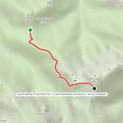 EasyOne-dayMarkedPass in Grzybowiec Wyżnia Kondracka PassElevation profile1 321–1 769 m2.3 kmascent 426 m≈ 1.5 h walking
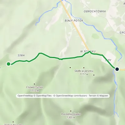 EasyOne-dayMarkedKiry Siwa PolanaElevation profile913–953 m3.1 kmascent 20 m≈ 45 min walking
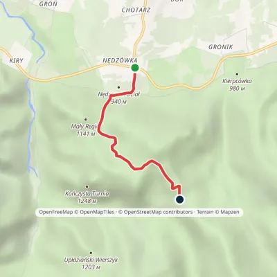 EasyOne-dayMarkedNędzówka Przysłop MiętusiElevation profile955–1 275 m2.8 kmascent 313 m≈ 1.5 h walking
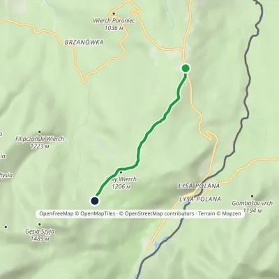 EasyOne-dayMarkedWierch Poroniec Rusinowa PolanaElevation profile1 102–1 211 m3.2 kmascent 114 m≈ 1 h walking
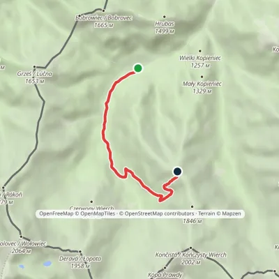 EasyOne-dayMarkedPolana Chochołowska Trzydniowiański WierchElevation profile1 105–1 749 m4.7 kmascent 622 m≈ 2.5 h walking
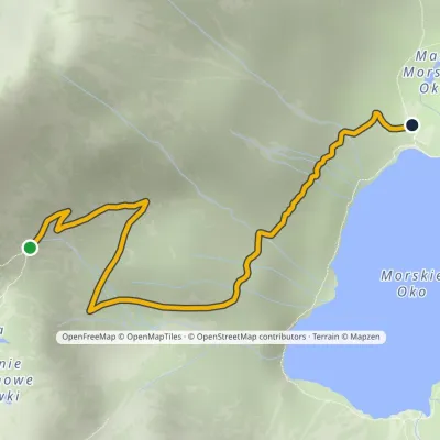 EasyOne-dayMarkedPod Mnichem Junction to Szpiglasowa PassElevation profile1 409–1 794 m2.3 km≈ 30 min walking
Peaks · 11
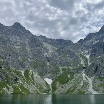 PeakRysy🇵🇱 Polandaltitude 2 501 mRysy (German Meeraugspitze, Hungarian Tengerszem-csúcs) is a mountain on the main ridge of the High Tatras, on the...
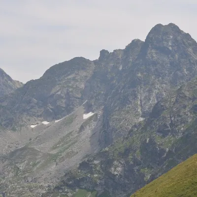 PeakŚwinica🇵🇱 Polandaltitude 2 302 mŚwinica (Slovak: Svinica) is a 2,302 m summit on the main ridge of the Tatra Mountains, right on the Polish–Slovak...
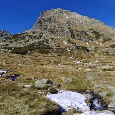 PeakKozi Wierch🇵🇱 Polandaltitude 2 291 mKozi Wierch (Slovak: Kozí vrch) is a 2,291 m peak in the High Tatras and the highest mountain with noticeable...
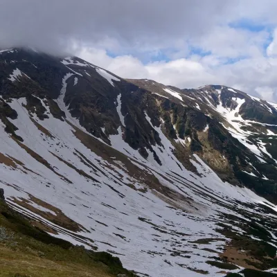 PeakStarorobociański Wierch (Klin)🇵🇱 Polandaltitude 2 176 mStarorobociański Wierch (Slovak: Klin, "the wedge") is a 2,176 m peak on the main ridge of the Western Tatras, which...
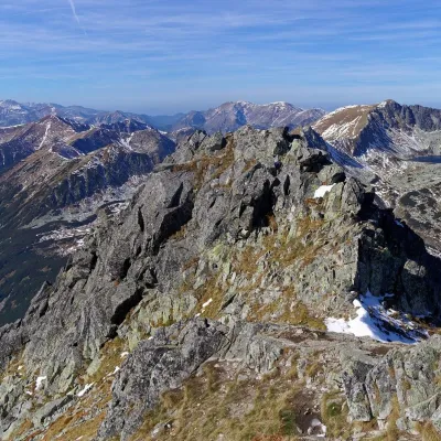 PeakSzpiglasowy Wierch🇵🇱 Polandaltitude 2 172 mSzpiglasowy Wierch (Slovak: Hrubý štít) is a 2,172 m summit on the main ridge of the High Tatras, on the Polish...
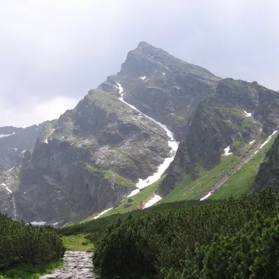 PeakKościelec🇵🇱 Polandaltitude 2 155 mKościelec is a 2,155 m peak in the High Tatras, in Poland's Dolina Gąsienicowa.
What to see · 19
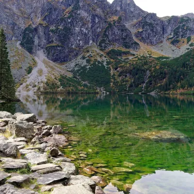 LakeMorskie Oko🇵🇱 PolandMorskie Oko (“Eye of the Sea”) is a glacial lake in the Rybi Potok Valley at 1,395 m, at the foot of the...
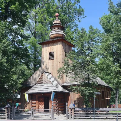 ChurchOld Church and Pęksowy Brzyzek Cemetery🇵🇱 PolandOn Kościeliska Street, a few minutes from Krupówki, stands a small larch-wood church, and behind it Zakopane's oldest...
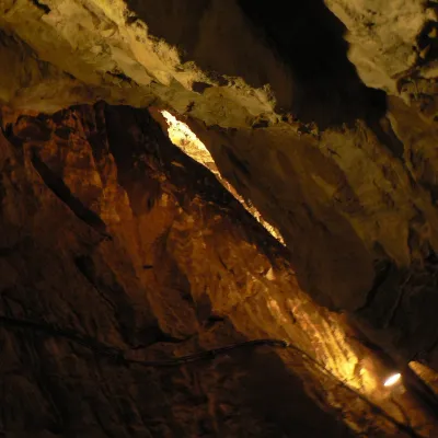 NatureMroźna Cave🇵🇱 PolandMroźna Cave is the best-known show cave in the Polish Tatras. It lies on the eastern slope of the Kościeliska Valley,...
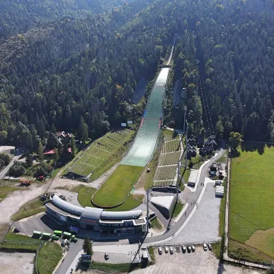 ArchitectureWielka Krokiew Ski Jump🇵🇱 PolandWielka Krokiew is Zakopane's main ski jump and the largest in Poland. It sits on the northern slope of Krokiew hill...
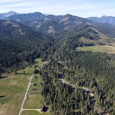 NatureChochołowska Valley🇵🇱 PolandThe Chochołowska Valley lies at the western edge of the Polish Western Tatras and is the longest and largest valley...
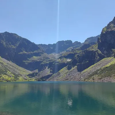 LakeCzarny Staw Gąsienicowy🇵🇱 PolandCzarny Staw Gąsienicowy lies in the High Tatras, in a glacial cirque in the eastern part of the Gąsienicowa Valley,...
Craft and local food · 7
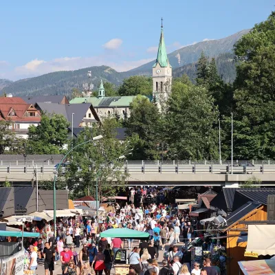 Markets & fairsMarket under Gubałówka🇵🇱 PolandThe market under Gubałówka (Targ pod Gubałówką) is Zakopane's best-known bazaar and probably the most photographed...
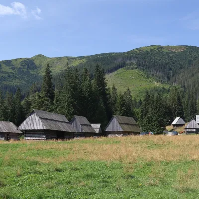 Cheese dairies & pasturesShepherds' Huts on Polana Chochołowska🇵🇱 PolandPolana Chochołowska is the largest glade in the Polish Tatras and one of the largest in the whole range.
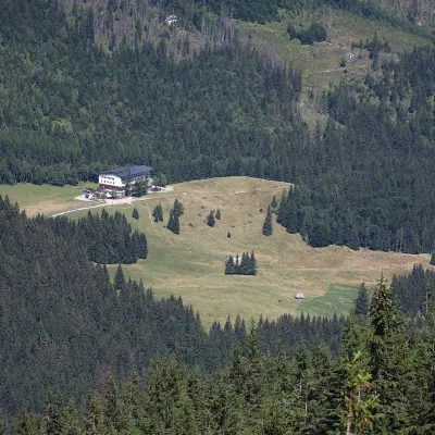 Cheese dairies & pasturesFurtek's Shepherd's Huts, Kuźnice and Kalatówki🇵🇱 PolandAbove Kuźnice — the southern edge of Zakopane where most hikes into the Western and High Tatras begin — the flocks...
© EEA (CC BY 4.0) · GMBA Mountain Inventory v2 (CC BY 4.0) · © OpenStreetMap contributors (ODbL)
