European hare
About
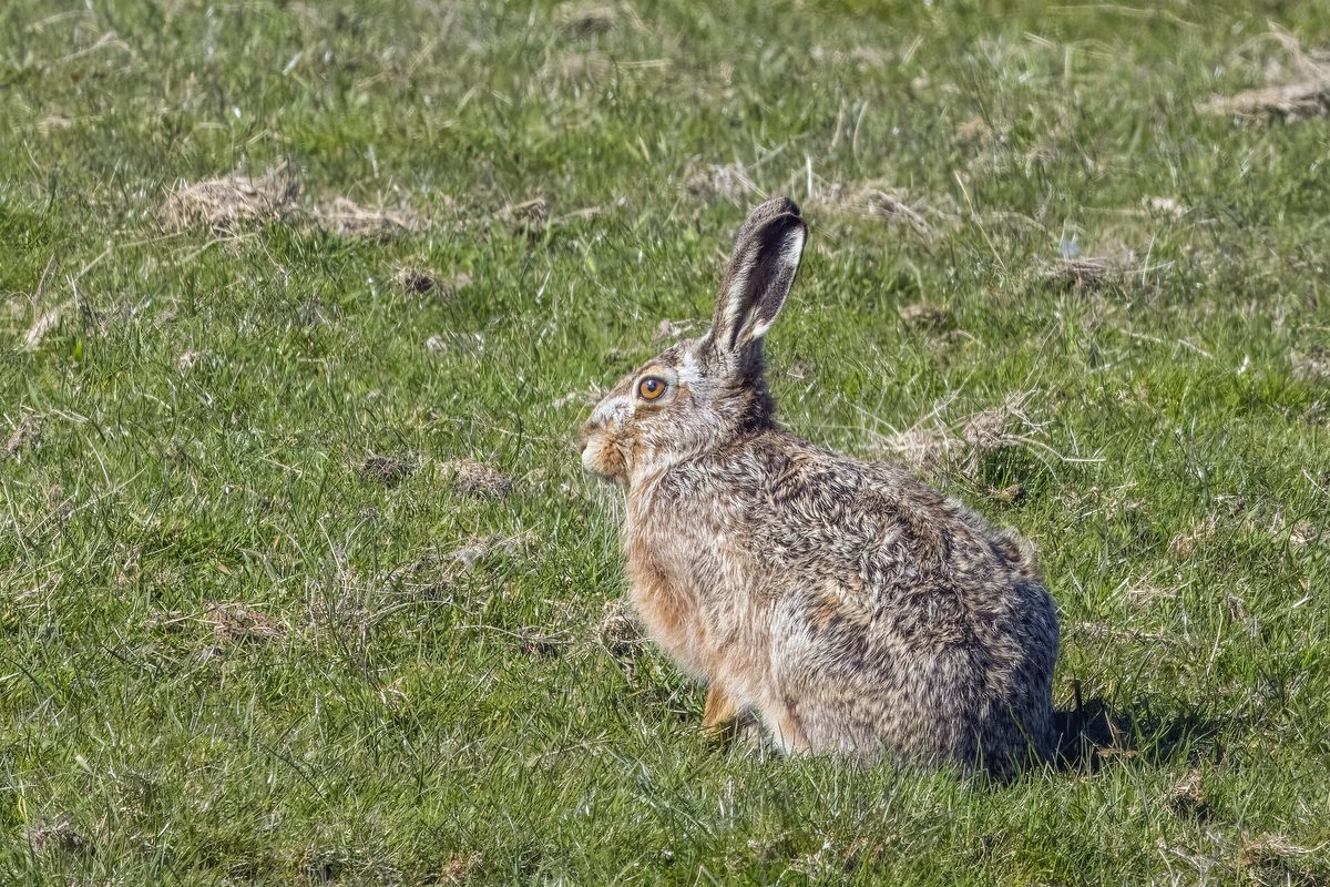
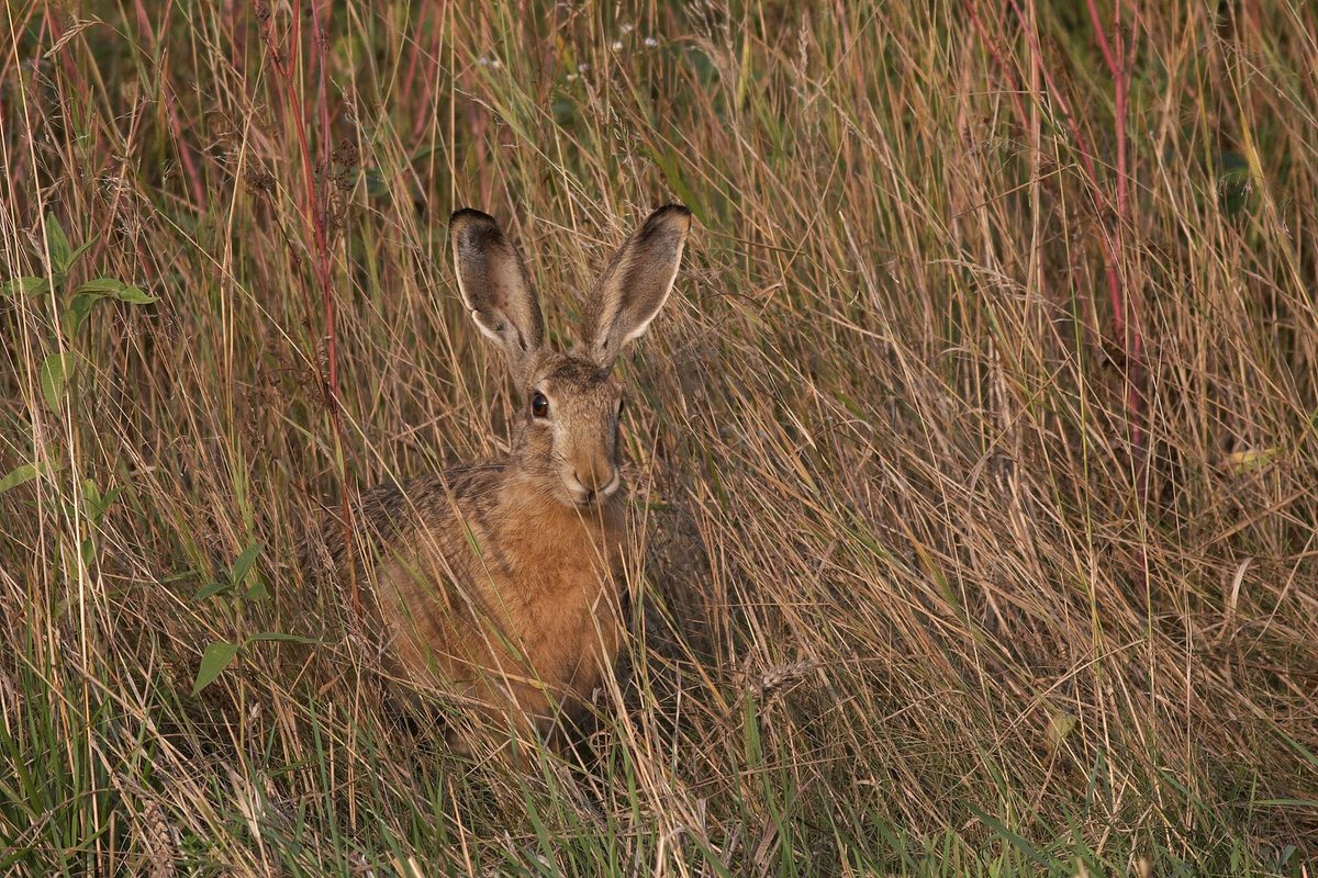
The European hare is very common in Ukraine. In the Carpathians, it lives in meadows, fields, hayfields, and forest edges. Scientists even describe a separate Carpathian subspecies of the hare. Hares are important prey for predators, particularly for the golden eagle, which hunts them in the Alps and Carpathians.
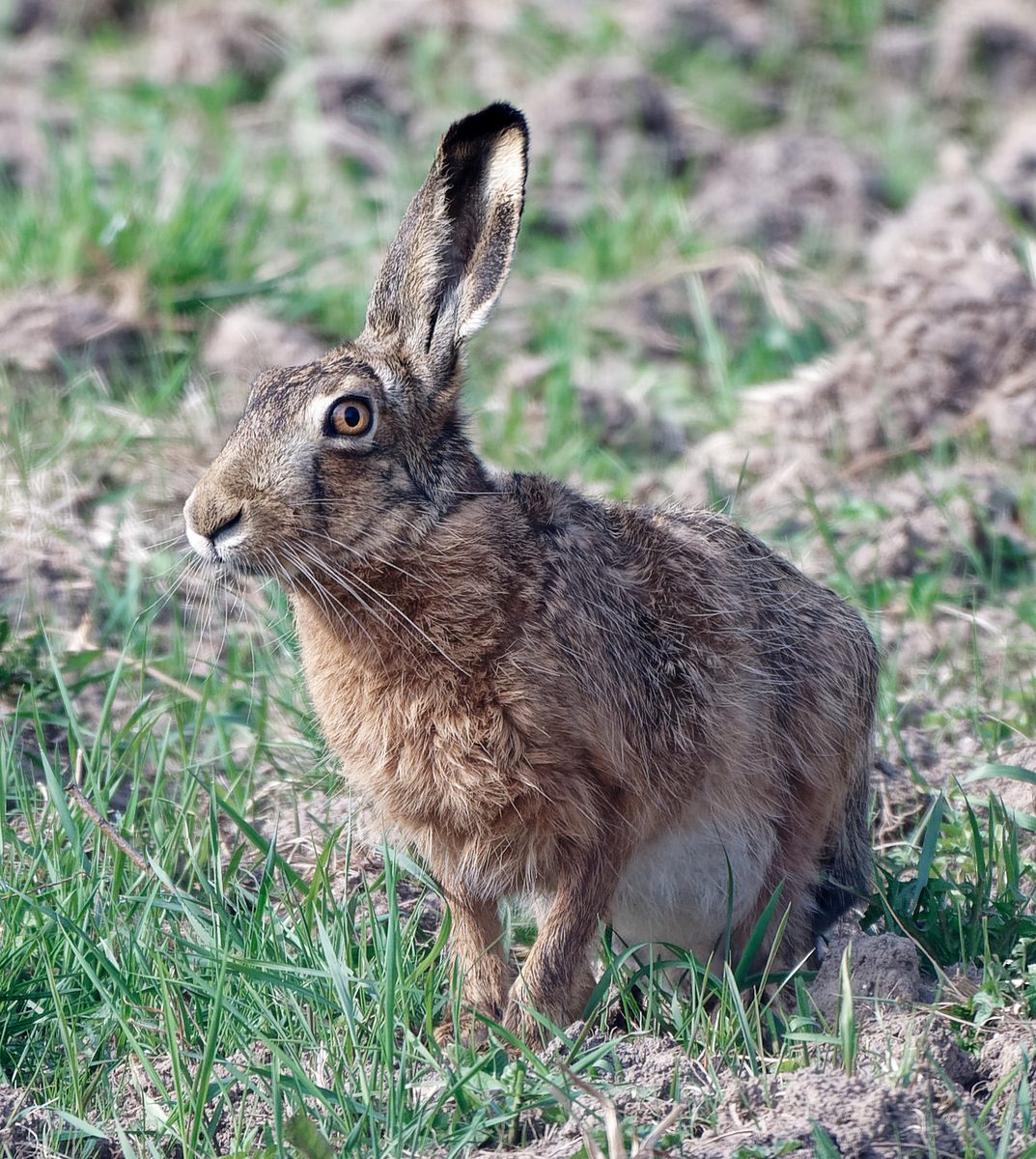
The hare measures 55–70 cm in length, with a wedge-shaped tail of 8–12 cm, and weighs 4–10 kg. Its fur is gray-brown with a reddish tint, its ears are long with black tips, and its hind legs are significantly longer than its front legs. It is thanks to these that the hare makes swift jumps and sharply changes direction to escape from pursuers.
Mostly, the hare is active at night and during twilight, while during the day it rests pressed against the ground. In spring, its behavior changes: hares can be seen during the day chasing each other, standing on their hind legs, and boxing with their front legs. This 'box' most often occurs between a female and a male, rather than between rivals, as was previously thought.
Gestation lasts 40–50 days. Leverets, usually three to four, are born at the end of March or in April, already with their eyes open and covered in fur. The mother leaves them in the grass and visits only for feeding, so a leveret found in the meadow is not abandoned—it should not be picked up or taken away. The European hare is not listed in the Red Book of Ukraine; it is a game species, and hunting is allowed only during designated periods.
Where in the Carpathians

The map shows where naturalists recorded the species (GBIF, CC0 and CC BY records), not every place it lives. The Ukrainian Carpathians are less studied, so a blank area does not mean the species is absent.
- Countries
- Czechia · Ukraine · Serbia · Austria · Romania · Slovakia · Poland · Hungary
- Mountain ranges
- Maramureș Mountains, Hryniava Mountains, Moravian-Silesian Beskids, Pokuttia-Bukovina Carpathians, Rivna Polonyna, Bieszczady, Chyvchyn Mountains, Little Beskids, Chornohora, Sądecki Beskids
- Altitude belts
- Foothills (below 600 m) · Beech forests (600–1200 m) · Conifer forests (1200–1600 m)
When to see it
| Jan | Feb | Mar | Apr | May | Jun | Jul | Aug | Sep | Oct | Nov | Dec | |
|---|---|---|---|---|---|---|---|---|---|---|---|---|
| Sightings |
From naturalists’ observations in the Carpathians (iNaturalist, research grade): the darker the cell, the more often the species is seen that month.
Protection and rules
Not listed in the Red Book of Ukraine; game species.
FAQ
What should I do if I find a leveret?
Nothing: do not touch or take it. The female hare leaves the young in the grass and comes only to feed them—the leveret is not abandoned.
Why do hares box in spring?
This is mating behavior: hares stand on their hind legs and box with their front legs, most often the female drives away an overly persistent male.
Similar species
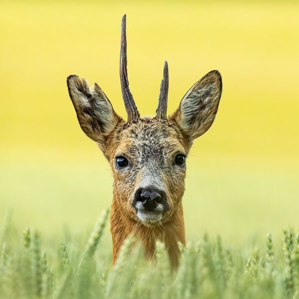
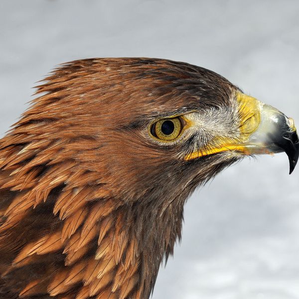
Where to meet it
Trails
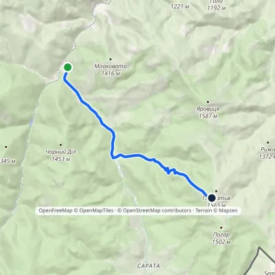 ModerateOne-dayMarkedPerkalaba Mount TomnatykElevation profile957–1 542 m8.7 kmascent 594 m≈ 3.5 h walking
 HardMulti-dayLumshory village loopvia Runa polonyna, Pashkivtsi village +5Elevation profile457–1 480 m72.2 kmascent 4 143 m
 HardMulti-dayNyzhnii Yalovets village to Shypit villagevia Mount YarovytsiaElevation profile863–1 574 m24.7 kmascent 993 m≈ 8 h walking
 HardMulti-dayMarkedShepit village to Probiinivka villagevia Mount Yarovytsia, Mount Pnivie +1Elevation profile797–1 599 m59.4 kmascent 1 949 m
 HardMulti-dayMarkedShepit village to Shybene villagevia Mount Yarovytsia, Mount Pnivie +1Elevation profile849–1 599 m73.4 kmascent 2 319 m
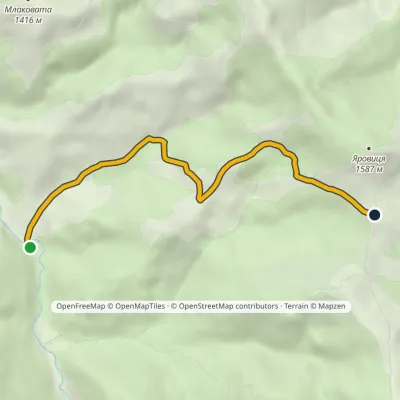 EasyOne-dayMarkedVereshchykha Mount YarovytsiaElevation profile1 001–1 416 m5.3 kmascent 426 m≈ 2 h walking
 ModerateTwo-dayMarkedShepit village Mount YarovytsiaElevation profile858–1 574 m20.8 kmascent 898 m≈ 7 h walking
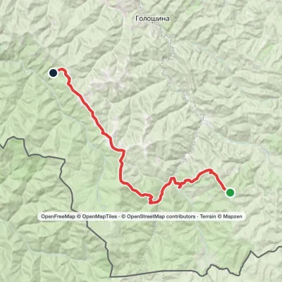 HardMulti-dayMarkedMount Yarovytsia to the Holy Trinity Monasteryvia the Pryluchnyi ridge, Mount PnivieElevation profile955–1 599 m32.5 kmascent 1 068 m≈ 10.5 h walking
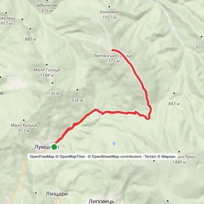 HardTwo-dayMarkedLumshory village loopvia Mount Liutianska HolytsiaElevation profile458–1 375 m22.5 kmascent 915 m≈ 7.5 h walking
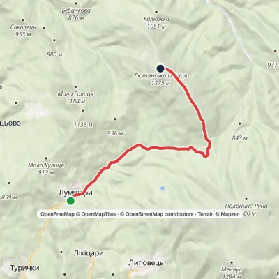 ModerateOne-dayMarkedLumshory village Mount Liutianska HolytsiaElevation profile443–1 375 m11.3 kmascent 932 m≈ 4.5 h walking
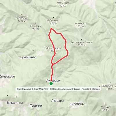 ModerateTwo-dayLumshory village loopvia Mount Mala HolytsiaElevation profile445–1 184 m15.9 kmascent 1 122 m≈ 6 h walking
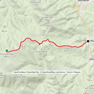 EasyOne-dayMarkedRuna polonyna to Pashkivtsi villagevia Preluka tractElevation profile472–1 480 m13.1 kmascent 88 m≈ 3.5 h walking
Peaks and meadows
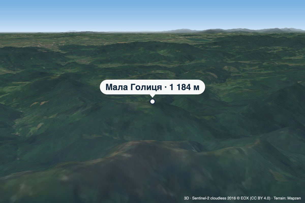 PeakMount Mala HolytsiaLumshoryaltitude 1 184 mMala Holytsia (“Little Holytsia”) is a 1,184 m summit in the north-western part of the Polonynskyi Ridge in...
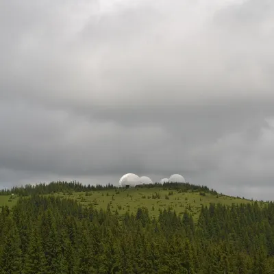 Mountain meadow1 565 mMount Tomnatyk (Yalovychory)SarataTomnatyk is a 1,565 m mountain in the Yalovychory Mountains, on the Tomnatykul ridge.
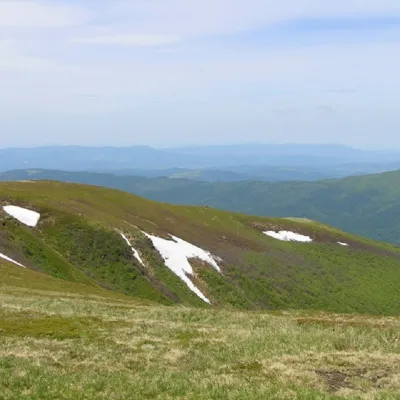 PeakMount Runa-PlaiTurya Polyanaaltitude 1 227 m3 trails to the topRuna-Play is a 1,227-meter peak of the Ukrainian Carpathians, located in the southeastern part of the Runa Valley.
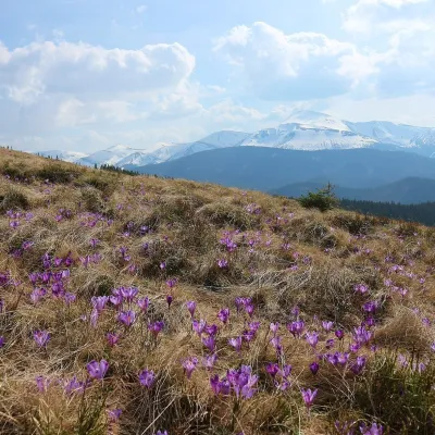 Mountain meadow1 430 mPolonyna ZakukulVorokhtaPolonyna Zakukul lies on the south-eastern slope of Mount Kukul (1539 m), the highest summit of the ridge of the same...
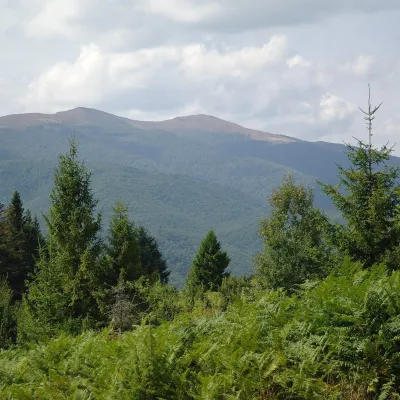 Mountain meadow1 400 mPolonyna Rivna (Runa)LumshoryPolonyna Rivna, more often called Runa in Zakarpattia (in the local dialect "runa" means exactly "flat"), is a broad,...
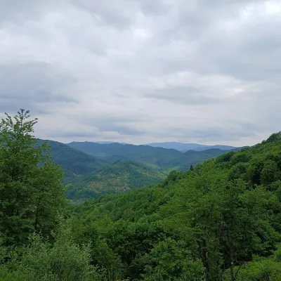 PeakMount OpolonekUzhokaltitude 1 028 mOpolonek (also Opolonyk) is a 1,028 m mountain in the Bieszczady, part of the Eastern Beskids.
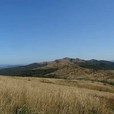 PeakMount Kinchyk BukovskyiVolosiankaaltitude 1 251 mKinchyk Bukovskyi (Polish: Kińczyk Bukowski) is a 1,251 m summit in the Bieszczady, right on the state border between...
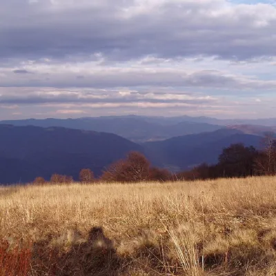 PeakMount YavirnykRuskyi Mocharaltitude 1 017 m17 trails to the topMount Yavirnyk is a 1,017-meter peak of the Ukrainian Carpathians, which is located within the Polonynsky Beskyd.
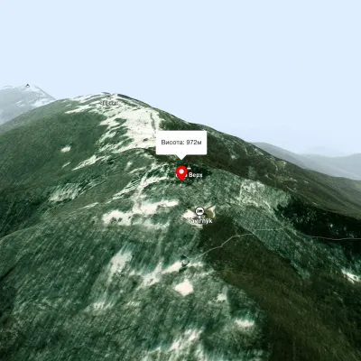 PeakMount Judah TopRuskyi Mocharaltitude 972 mThe top of Mount Judah Top is 972 meters above sea level. The nearest settlements are: Ruskyi Mochar (2.1 km), Sil (4...
 Mountain meadow674 mPolonyna Rosokhata (Sheshory)SheshoryWhy is the meadow called "Rosokhata"? The two parts of the field that form the branches look like dewdrops.
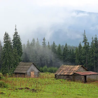 Mountain meadow1 440 mPolonyna Kukul (Kukul), VoronenkoVoronenkoPolonyna Kukul is a mountain meadow in the Ukrainian Carpathians, within the Kukul ridge (Kukul mountain - 1539 m),...
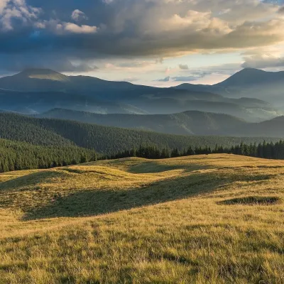 Mountain meadow1 410 mPolonyna LabieskaVorokhtaPolonyna Labieska (also spelled Labeska) lies on the northern slopes of the Kukul ridge, between Mount Kukul (1539 m)...
Waters and waterfalls
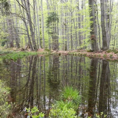 LakeDead Lake (Sheshory)SheshoryNot far from the Rosokhata valley, on the neighboring Karmatura ridge, there is the Dead Lake.
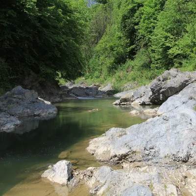 RiverPistynka RiverPistynThe Pistynka is a 56-km mountain tributary of the Prut. It rises on the eastern slopes of Mount Versalem in the...
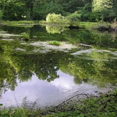 LakeLake Lebedyn (Sheshory)SheshoryLake Lebedyn (Lebedine) is located at an altitude of 650 m amidst beech forests and has been a protected area since...
Mountain ranges: Maramureș Mountains, Hryniava Mountains, Pokuttia-Bukovina Carpathians, Rivna Polonyna, Bieszczady, Chyvchyn Mountains, Chornohora. In other countries: 🇨🇿 Moravian-Silesian Beskids, 🇵🇱 Little Beskids, 🇵🇱 Sądecki Beskids, 🇭🇺 Bükk, 🇷🇴 Pădurea Craiului
Trails and peaks near which naturalists recorded the species (GBIF, iNaturalist), matched by altitude and habitat. Sightings are not guaranteed.
Sources
- Вікіпедія: Заєць сірий
- Wikipedia (en): European hare
- Wikipedia (pl): Zając szarak
- Перелік видів тварин, що заносяться до Червоної книги України (наказ Міндовкілля від 19.01.2021 № 29, зареєстровано в Мін'юсті 01.03.2021 за № 260/35882)
- Міндовкілля: текст переліку видів тварин Червоної книги України (PDF)
- GBIF: таксон і категорія МСОП
GBIF · iNaturalist · Wikidata · Distribution data: GBIF.org (CC0 and CC BY records), iNaturalist; names and identifiers: Wikidata (CC0). Text: Karpaty.rocks, checked 09.11.2026.
