High Tatras
Vysoké Tatry · Tatry Wysokie
The High Tatras are the granite heart of the range, with Gerlachovský štít (2,655 m), Rysy, Lomnický štít and Kriváň. Most summits can be reached only by waymarked trails; the Polish route up Rysy has chains, and Gerlach may be climbed only with a licensed mountain guide.
- Elevation
- 766–2,655 m
- Highest summit
- Gerlachovský štít, 2,655 m
- Area
- ≈ 429 km²
- Countries
- Slovakia, Poland
- Part of
- Tatras
On the map
Waymarked trails · 16
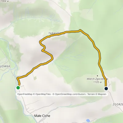 EasyOne-dayMarkedMałe Ciche Zgorzelisko Małe Ciche LichajówkiElevation profile838–1 101 m3.4 kmascent 258 m≈ 1.5 h walking
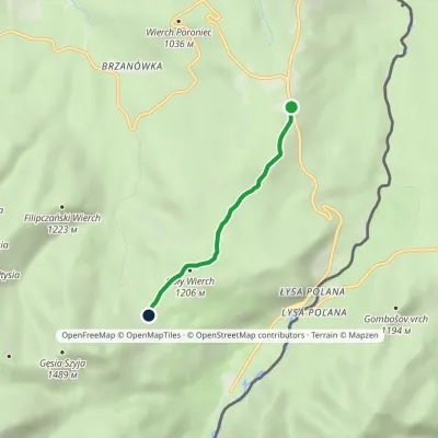 EasyOne-dayMarkedWierch Poroniec Rusinowa PolanaElevation profile1 102–1 211 m3.2 kmascent 114 m≈ 1 h walking
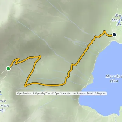 EasyOne-dayMarkedPod Mnichem Junction to Szpiglasowa PassElevation profile1 409–1 794 m2.3 km≈ 30 min walking
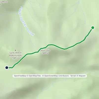 EasyOne-dayMarkedRusinowa Polana Rówień WaksmundzkaElevation profile1 208–1 483 m2.2 kmascent 260 m≈ 1 h walking
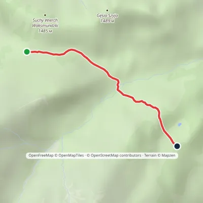 EasyOne-dayMarkedRówień Waksmundzka Polana Pod WołoszynemElevation profile1 249–1 417 m2 kmascent 29 m≈ 30 min walking
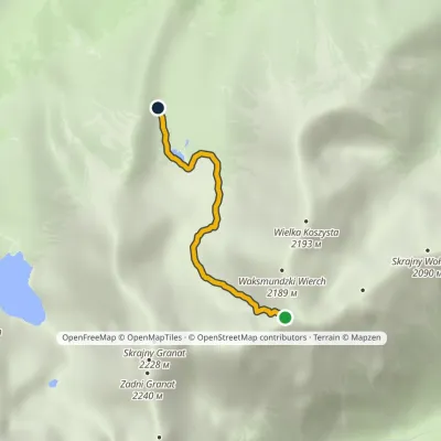 EasyOne-dayMarkedZadni Upłaz KrzyżneElevation profile1 617–2 107 m2.8 km≈ 45 min walking
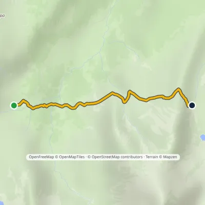 EasyOne-dayMarkedSchronisko PTTK Murowaniec Zadni UpłazElevation profile1 440–1 675 m2.5 kmascent 217 m≈ 1 h walking
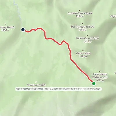 EasyOne-dayMarkedPsia Trawka Rówień WaksmundzkaElevation profile1 191–1 419 m3.3 km≈ 45 min walking
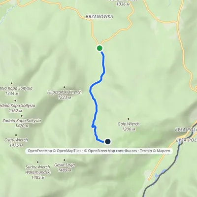 EasyOne-dayMarkedZazadnia Rusinowa PolanaElevation profile948–1 210 m2.7 kmascent 251 m≈ 1 h walking
Peaks
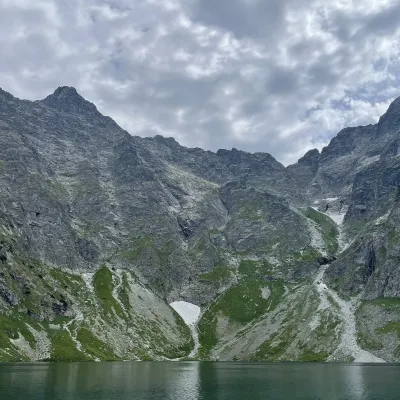 PeakRysy🇵🇱 Polandaltitude 2 501 mRysy (German Meeraugspitze, Hungarian Tengerszem-csúcs) is a mountain on the main ridge of the High Tatras, on the...
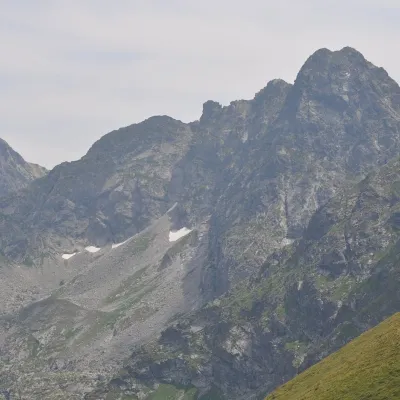 PeakŚwinica🇵🇱 Polandaltitude 2 302 mŚwinica (Slovak: Svinica) is a 2,302 m summit on the main ridge of the Tatra Mountains, right on the Polish–Slovak...
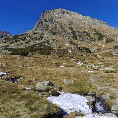 PeakKozi Wierch🇵🇱 Polandaltitude 2 291 mKozi Wierch (Slovak: Kozí vrch) is a 2,291 m peak in the High Tatras and the highest mountain with noticeable...
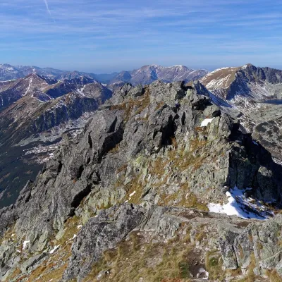 PeakSzpiglasowy Wierch🇵🇱 Polandaltitude 2 172 mSzpiglasowy Wierch (Slovak: Hrubý štít) is a 2,172 m summit on the main ridge of the High Tatras, on the Polish...
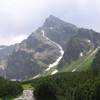 PeakKościelec🇵🇱 Polandaltitude 2 155 mKościelec is a 2,155 m peak in the High Tatras, in Poland's Dolina Gąsienicowa.
What to see
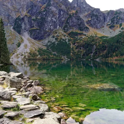 LakeMorskie Oko🇵🇱 PolandMorskie Oko (“Eye of the Sea”) is a glacial lake in the Rybi Potok Valley at 1,395 m, at the foot of the...
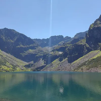 LakeCzarny Staw Gąsienicowy🇵🇱 PolandCzarny Staw Gąsienicowy lies in the High Tatras, in a glacial cirque in the eastern part of the Gąsienicowa Valley,...
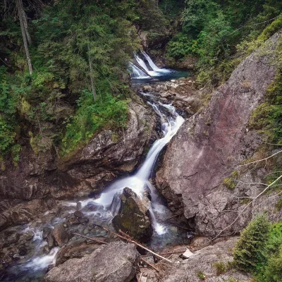 WaterfallWodogrzmoty Mickiewicza (Mickiewicz Waterfalls)🇵🇱 PolandWodogrzmoty Mickiewicza (the Mickiewicz Waterfalls) are a chain of falls in the High Tatras on the Roztoka stream,...
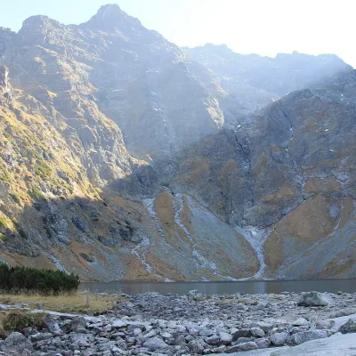 LakeCzarny Staw pod Rysami🇵🇱 PolandCzarny Staw pod Rysami (the Black Lake below Rysy) lies in a glacial cirque of the Rybi Potok Valley, directly above...
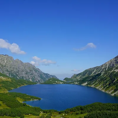 LakeWielki Staw Polski🇵🇱 PolandWielki Staw Polski (the Great Polish Lake) lies in the High Tatras, in the Valley of the Five Polish Lakes, at 1,665...
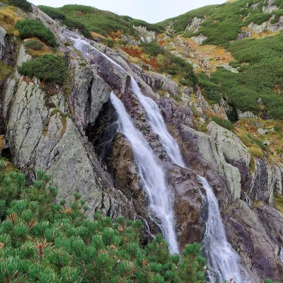 WaterfallWielka Siklawa Waterfall🇵🇱 PolandWielka Siklawa (also simply Siklawa) is Poland's highest waterfall. The Roztoka stream, flowing out of Wielki Staw...
Craft and local food
© EEA (CC BY 4.0) · GMBA Mountain Inventory v2 (CC BY 4.0) · © OpenStreetMap contributors (ODbL)
