High Tatras
Vysoké Tatry · Tatry Wysokie
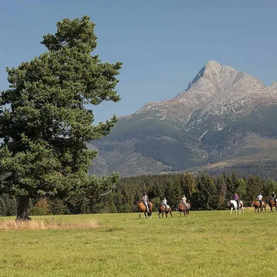
The High Tatras are the granite heart of the range, with Gerlachovský štít (2,655 m), Rysy, Lomnický štít and Kriváň. Most summits can be reached only by waymarked trails; the Polish route up Rysy has chains, and Gerlach may be climbed only with a licensed mountain guide.
- Elevation
- 766–2,655 m
- Highest summit
- Gerlachovský štít, 2,655 m
- Area
- ≈ 429 km²
- Countries
- Slovakia, Poland
- Part of
- Tatras
On the map
Waymarked trails · 24
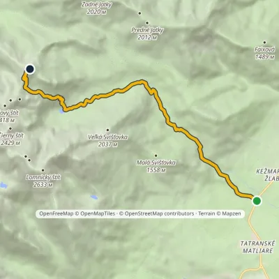 ModerateOne-dayMarkedBiela voda, car park Jahňací štítElevation profile917–2 163 m10.1 kmascent 1 237 m≈ 5 h walking
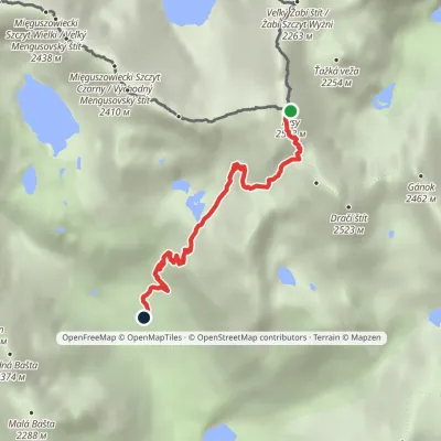 EasyOne-dayMarkedJunction at Žabí potok RysyElevation profile1 626–2 466 m4.3 km≈ 1 h walking
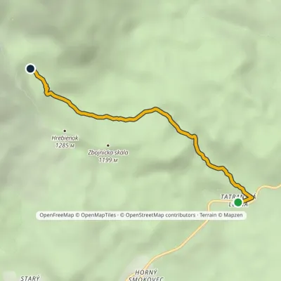 EasyOne-dayMarkedTatranská Lesná Waterfalls of Studený StreamElevation profile922–1 237 m3.9 kmascent 311 m≈ 1.5 h walking
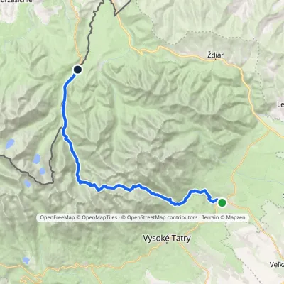 HardMulti-dayMarkedTatranská Lomnica Lysá PoľanaElevation profile853–2 268 m27.3 kmascent 1 400 m≈ 9.5 h walking
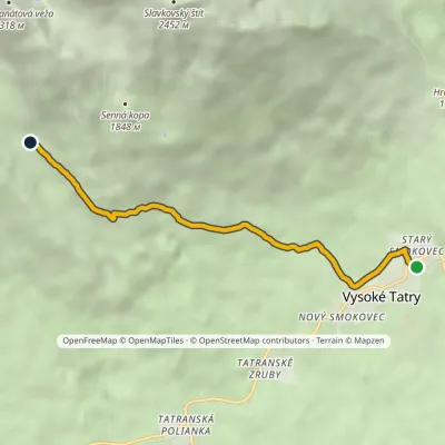 EasyOne-dayMarkedStarý Smokovec, TEŽ station Velická PoľanaElevation profile996–1 570 m5.6 kmascent 566 m≈ 2.5 h walking
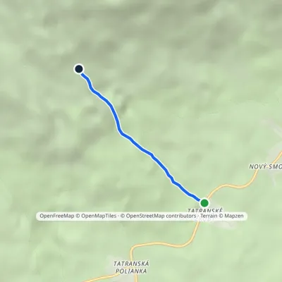 EasyOne-dayMarkedTatranské zruby Junction above ZrubyElevation profile1 006–1 394 m2.3 kmascent 368 m≈ 1.5 h walking
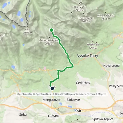 ModerateOne-dayMarkedNižné Hágy Junction below Poľský hrebeňElevation profile849–2 195 m14.6 kmascent 64 m≈ 4 h walking
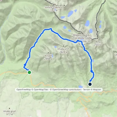 HardTwo-dayMarkedTri studničky, old forester's lodge Popradské Pleso, stopElevation profile1 105–2 142 m21.4 kmascent 1 129 m≈ 7.5 h walking
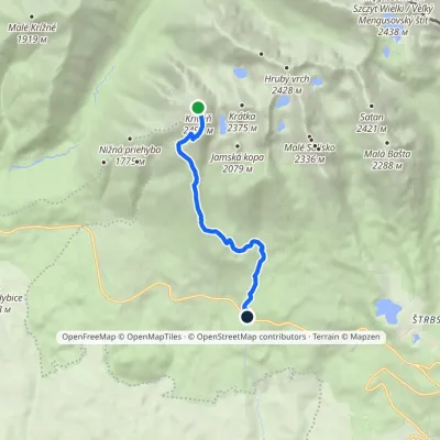 EasyOne-dayMarkedBiely Váh KriváňElevation profile1 209–2 410 m7.2 km≈ 2 h walking
Peaks · 8
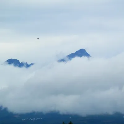 PeakGerlachovský štít🇸🇰 Slovakiaaltitude 2 655 mGerlachovský štít (colloquially Gerlach; Polish Gerlach, German Gerlsdorfer Spitze) is the highest peak of the High...
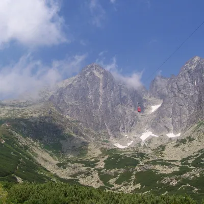 PeakLomnický štít🇸🇰 Slovakiaaltitude 2 634 mLomnický štít (Polish Łomnica, German Lomnitzer Spitze) is one of the highest and most visited peaks of the High Tatras.
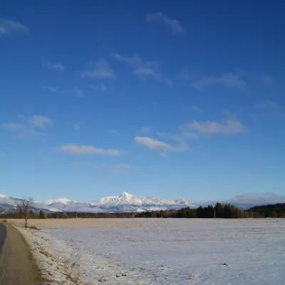 PeakKriváň🇸🇰 Slovakiaaltitude 2 495 mKriváň (Polish Krywań) is a 2495 m peak (precisely 2494.7 m) in the south-western part of the High Tatras in Slovakia.
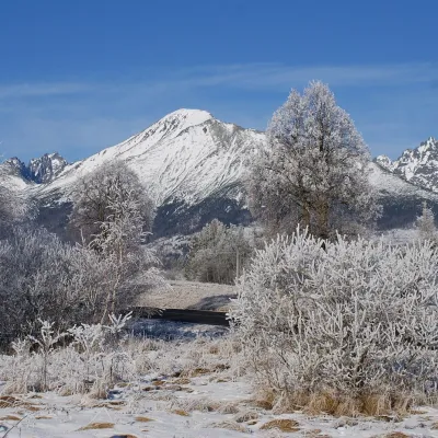 PeakSlavkovský štít🇸🇰 Slovakiaaltitude 2 452 mSlavkovský štít (Polish Sławkowski Szczyt, German Schlagendorfer Spitze) is a broad, massive peak 2452 m high in the...
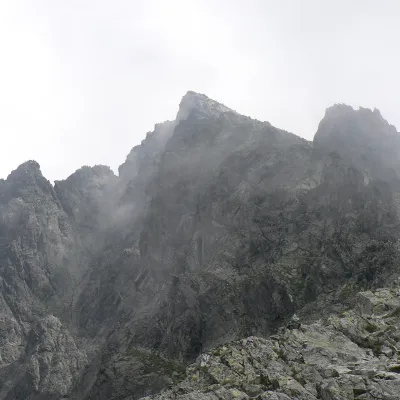 PeakVýchodná Vysoká🇸🇰 Slovakiaaltitude 2 429 mVýchodná Vysoká ("Eastern High One"; Polish Mała Wysoka) is a pyramid-shaped peak 2429 m high (more precisely 2428.6...
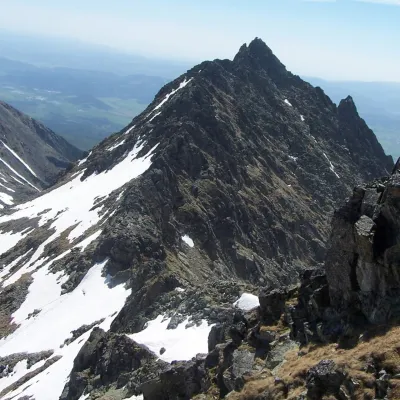 PeakVeľké Solisko🇸🇰 Slovakiaaltitude 2 412 mVeľké Solisko (Polish: Wielkie Solisko) is a 2,412 m peak in the Slovak High Tatras and the highest point of the...
What to see · 11
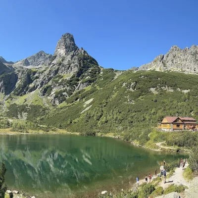 LakeZelené pleso (Kežmarské)🇸🇰 SlovakiaZelené pleso, often called Kežmarské Zelené pleso, is a moraine lake in the Dolina Zeleného plesa valley in the north...
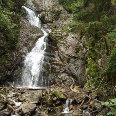 WaterfallKmeťov Waterfall in Kôprová Valley🇸🇰 SlovakiaKmeťov waterfall (Kmeťov vodopád) is a powerful two-step waterfall in the Kôprová dolina valley in the western High...
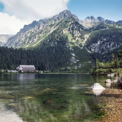 LakePopradské pleso and the Symbolic Cemetery🇸🇰 SlovakiaPopradské pleso is a glacial lake in the Mengusovská valley at 1,494 m, below the cliffs of Ostrva.
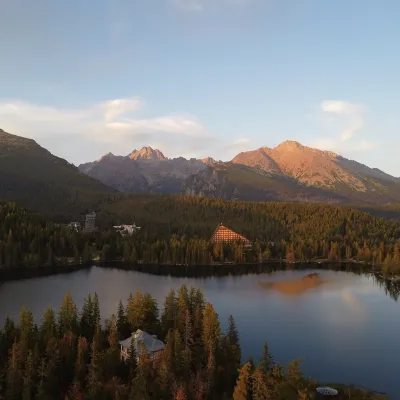 LakeŠtrbské pleso🇸🇰 SlovakiaŠtrbské pleso is the emblem of the Slovak Tatras: a large mountain lake at 1,346 m surrounded by spruce forest,...
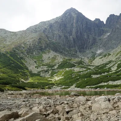 LakeSkalnaté pleso, Observatory and Lomnický štít Cable Car🇸🇰 SlovakiaSkalnaté pleso is a small moraine lake in the lowest cirque of the Skalnatá valley below Lomnický štít, at about 1...
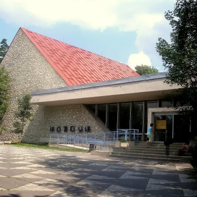 MuseumTANAP Museum in Tatranská Lomnica🇸🇰 SlovakiaThe Tatra National Park Museum (Múzeum TANAP-u) in Tatranská Lomnica is the best place to understand in an hour or...
Craft and local food
© EEA (CC BY 4.0) · GMBA Mountain Inventory v2 (CC BY 4.0) · © OpenStreetMap contributors (ODbL)
