Stag's-horn clubmoss
For information only, not medical advice. Do not self-medicate — consult a doctor. Many Carpathian medicinal plants are protected and must not be collected.
About
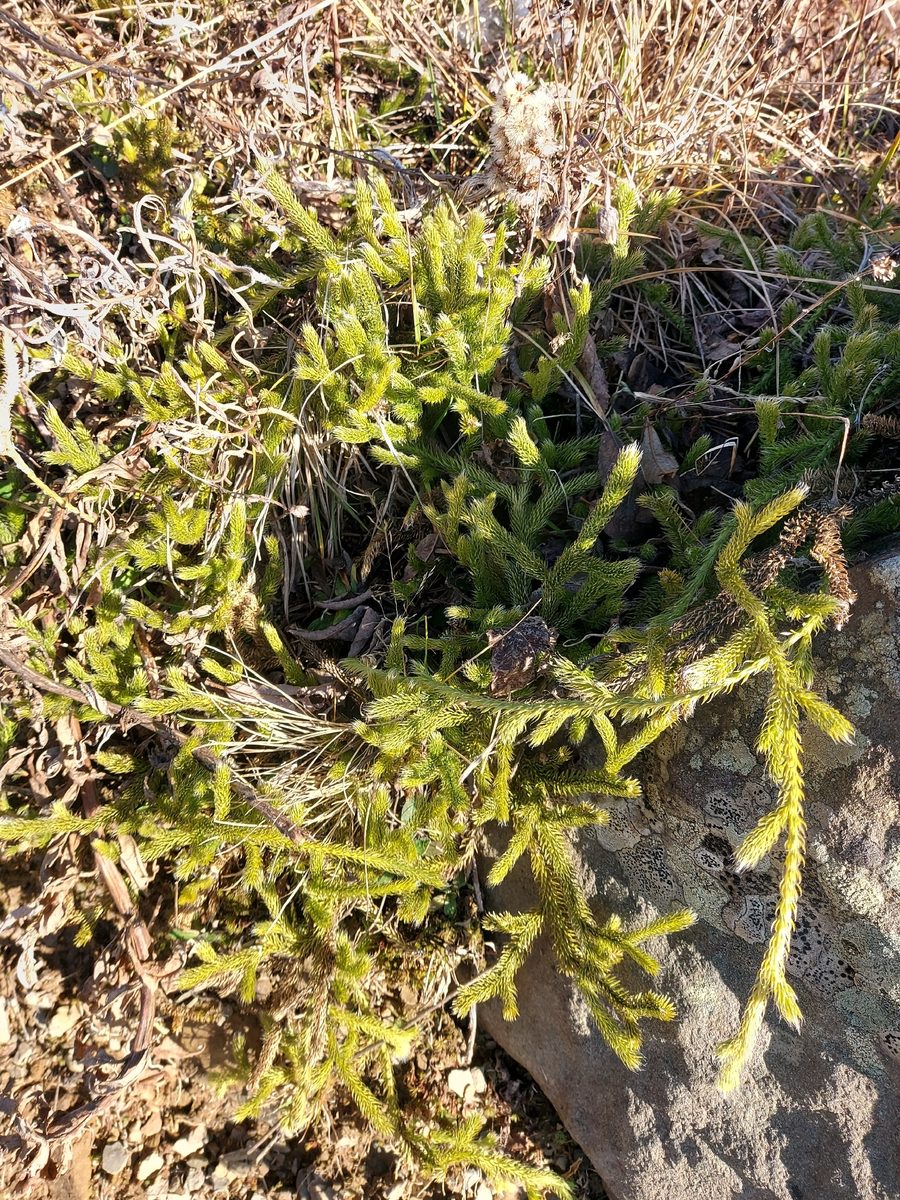
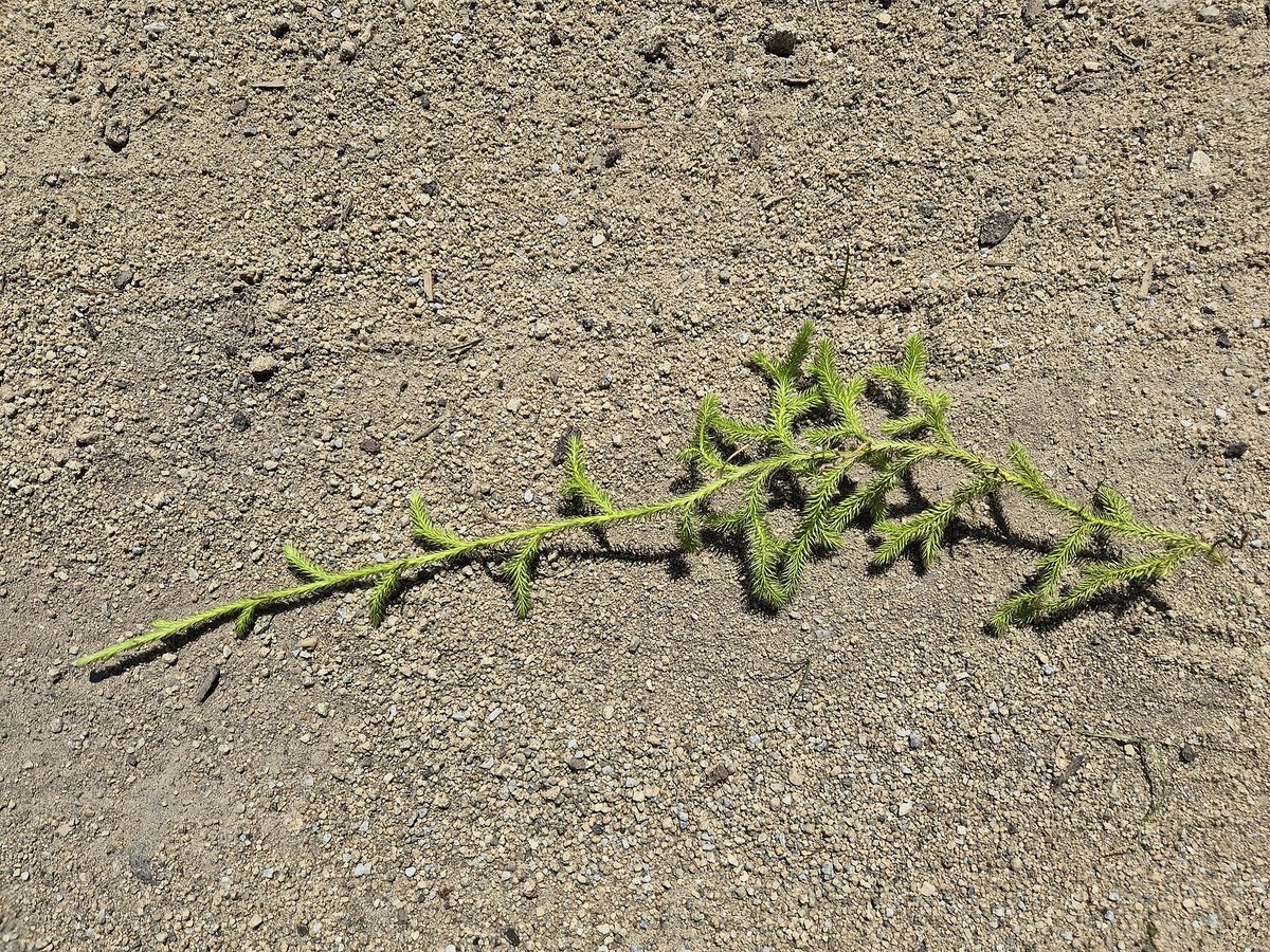
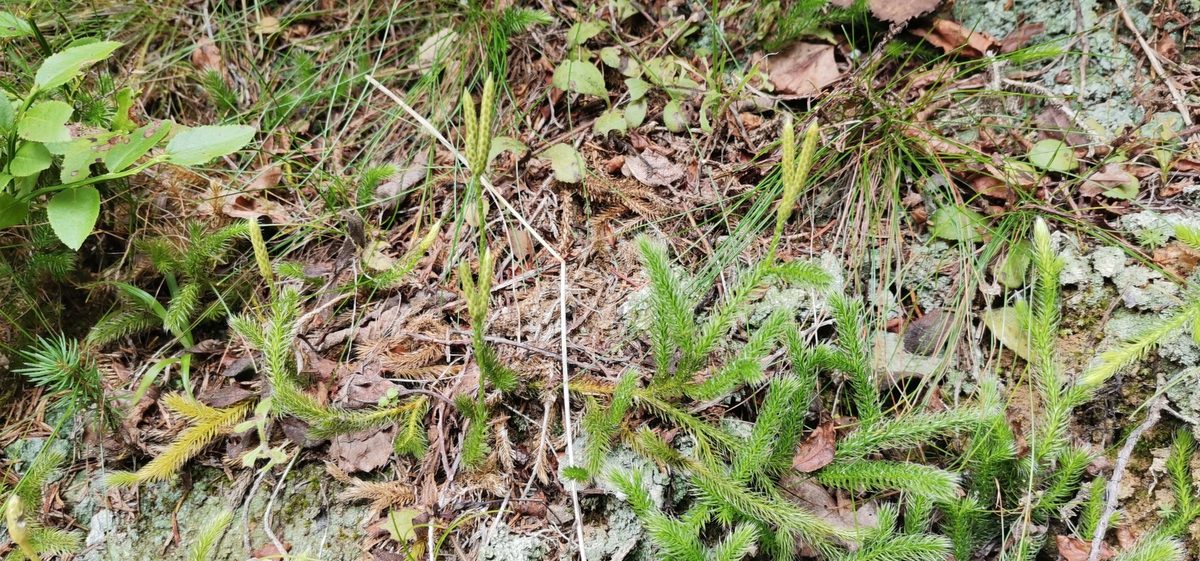
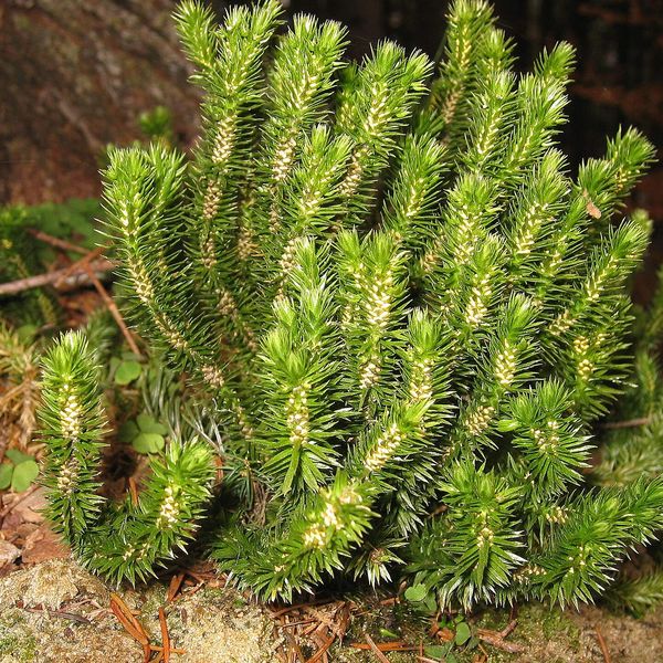
Stag's-horn clubmoss is an evergreen spore plant with long creeping stems that spread along the ground for a meter or more and occasionally root. The stems and ascending branches are densely covered with small soft leaves. Each leaf ends with a long white hair, making the shoots appear fluffy — this feature makes the species easily recognizable.
In July and August, thin yellowish legs 5–15 cm tall rise above the shoots, and on each sit two or three narrow spikes. They contain small yellow spores. The powder from the spores — lycopodium — does not get wet and flashes brightly when sprinkled over a flame. It was once used to dust pills, as baby powder, and for stage effects.
In the Carpathians, Stag's-horn clubmoss grows in dry coniferous and mixed forests, on forest edges, old pastures, in blueberry thickets, and wastelands on acidic soils — from the foothills to the subalpine zone.
Like all clubmosses, it develops very slowly: it takes more than ten years from spore germination to mature plant. Therefore, thickets pulled for wreaths or Easter decorations take decades to recover.
This species is not listed in the current Red Book of Ukraine, unlike Lycopodium annotinum and Lycopodium clavatum. However, picking any plants in reserves and national parks is prohibited, and in the EU, all clubmosses belong to species whose collection may be restricted.
Where in the Carpathians

Orange — where naturalists recorded the species (GBIF, CC0/CC BY). It occurs only locally, so we draw no approximate range; a blank area does not mean it is absent.
- Countries
- Ukraine · Slovakia · Poland · Czechia · Romania
- Mountain ranges
- Gorgany, Skole Beskids. In other countries: 🇸🇰 Kysuce Beskids, 🇸🇰 Lesser Fatra, 🇸🇰 Low Tatras, 🇸🇰 High Tatras, 🇸🇰 Spiš Magura, 🇸🇰 Slovak Ore Mountains, 🇸🇰 Volovec Mountains, 🇵🇱 Żywiec Beskids, 🇨🇿 Moravian-Silesian Beskids, 🇵🇱 Sądecki Beskids, 🇸🇰 Čergov Mountains, 🇵🇱 Low Beskids
- Altitude belts
- Foothills (below 600 m) · Beech forests (600–1200 m) · Conifer forests (1200–1600 m)
When to see it
| Jan | Feb | Mar | Apr | May | Jun | Jul | Aug | Sep | Oct | Nov | Dec | |
|---|---|---|---|---|---|---|---|---|---|---|---|---|
| Flowering |
From naturalists’ observations in the Carpathians (iNaturalist, research grade): the darker the cell, the more often the species is seen that month.
Safety
Do not consume the plant: clubmosses contain alkaloids.
Look-alikes — how to tell them apart
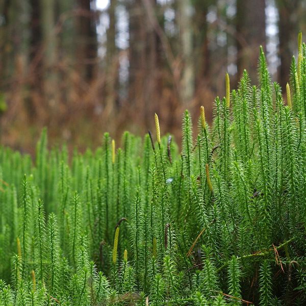
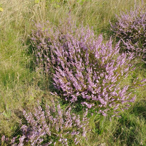
Leaves are stiff, without white hair, protruding; the spike is solitary, sitting at the top of the shoot without a stem. Listed in the Red Book of Ukraine.
In folk tradition
Spores (lycopodium) were used in pharmacy as a dusting powder and for coating pills.
Protection and rules
Not listed in the Red Book of Ukraine. Collecting is prohibited in protected areas; the species is in Annex V of the EU Habitats Directive.
FAQ
Is Stag's-horn clubmoss listed in the Red Book?
No, it is not in the current list of the Red Book of Ukraine. Lycopodium annotinum and Lycopodium clavatum are listed. Picking any plants in protected areas is prohibited.
What is lycopodium?
It is a powder from the spores of the clubmoss. It does not get wet and flashes in flames; it was once used in pharmacies and for stage effects.
Comments
Travellers’ experience: reports, tips, questions.
No one has written here yet. Be the first — your experience helps others.
Similar species
Where to meet it
Trails
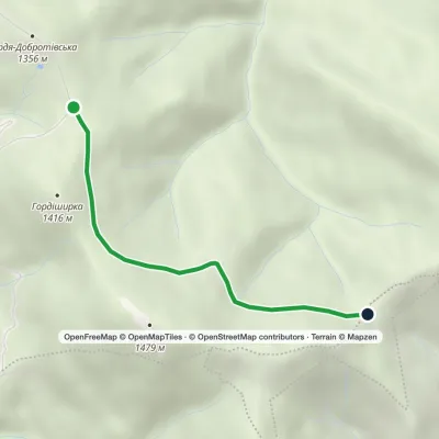 EasyOne-dayMarkedMount Hordia traverse (green)Elevation profile1 311–1 349 m2.5 kmascent 32 m≈ 45 min walking
 ModerateOne-dayBert ridge to Nimetska Mokra villagevia Mount BushtulElevation profile652–1 667 m21.3 kmascent 304 m≈ 6 h walking
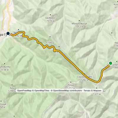 EasyOne-dayMarkedHuta PoharchynaElevation profile667–1 267 m11 kmascent 276 m≈ 3 h walking
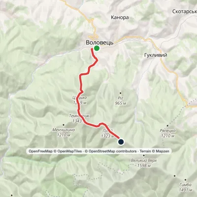 ModerateOne-dayVolovets Mount TemnatykElevation profile492–1 343 m9.8 kmascent 997 m≈ 4 h walking
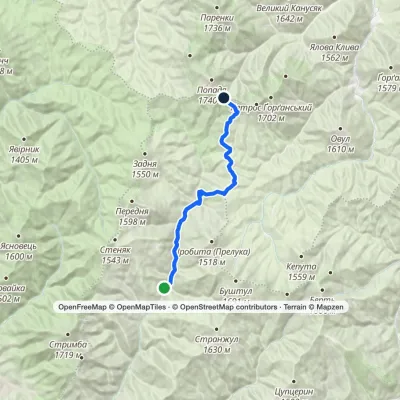 HardOne-dayMarkedUst-Chorna Mount PopadiaElevation profile653–1 461 m24.3 kmascent 930 m≈ 7.5 h walking
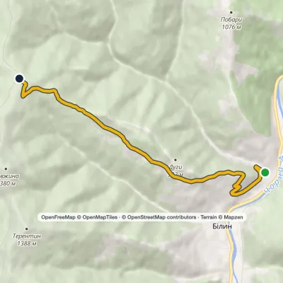 ModerateOne-dayMarkedBilyn village Perelisok shelterElevation profile509–1 279 m6.5 kmascent 770 m≈ 3 h walking
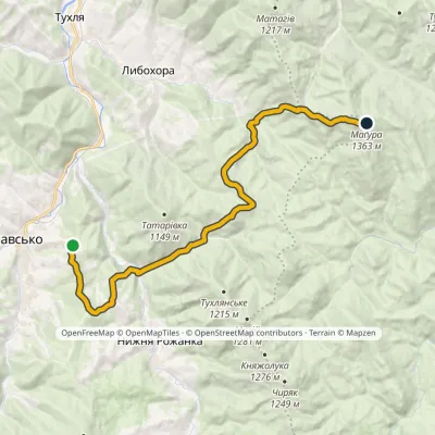 HardOne-dayMarkedNo. 5012 Slavsko Mount MaguraElevation profile617–1 368 m18.6 kmascent 1 151 m≈ 6.5 h walking
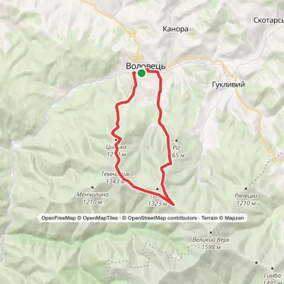 ModerateOne-dayVolovets loopvia Mount Plai, Mount TemnatykElevation profile483–1 343 m17.2 kmascent 1 102 m≈ 6 h walking
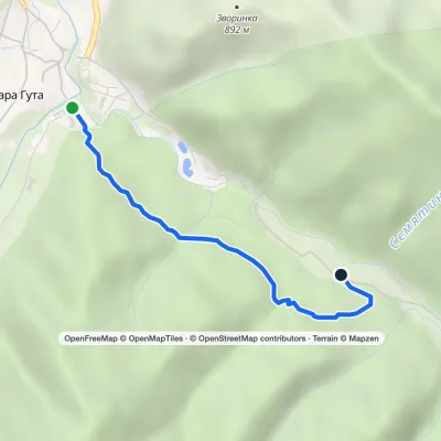 EasyOne-dayMarkedBypass TrailElevation profile662–769 m2.5 kmascent 110 m≈ 45 min walking
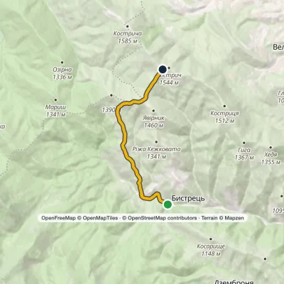 ModerateOne-dayMarkedBystrets village Mount Kostrychvia Psarivka polonynaElevation profile816–1 516 m15 kmascent 732 m≈ 5 h walking
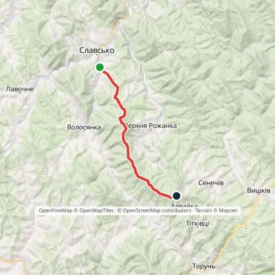 ModerateOne-dayMarkedSlavske Obnoha tractvia Mount Chorna RipaElevation profile603–1 287 m17.2 kmascent 883 m≈ 6 h walking
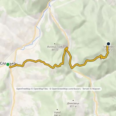 ModerateOne-dayMarkedNo. 5013 Slavsko Mount Tatarivka (Teterivka)Elevation profile587–1 149 m8.6 kmascent 775 m≈ 3.5 h walking
Peaks and meadows
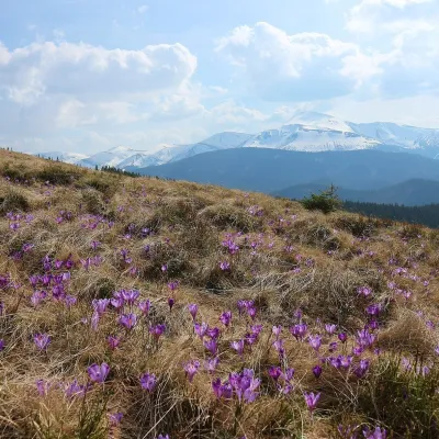 Mountain meadow1 430 mPolonyna ZakukulVorokhtaPolonyna Zakukul lies on the south-eastern slope of Mount Kukul (1539 m), the highest summit of the ridge of the same...
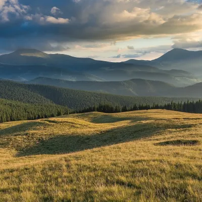 Mountain meadow1 410 mPolonyna LabieskaVorokhtaPolonyna Labieska (also spelled Labeska) lies on the northern slopes of the Kukul ridge, between Mount Kukul (1539 m)...
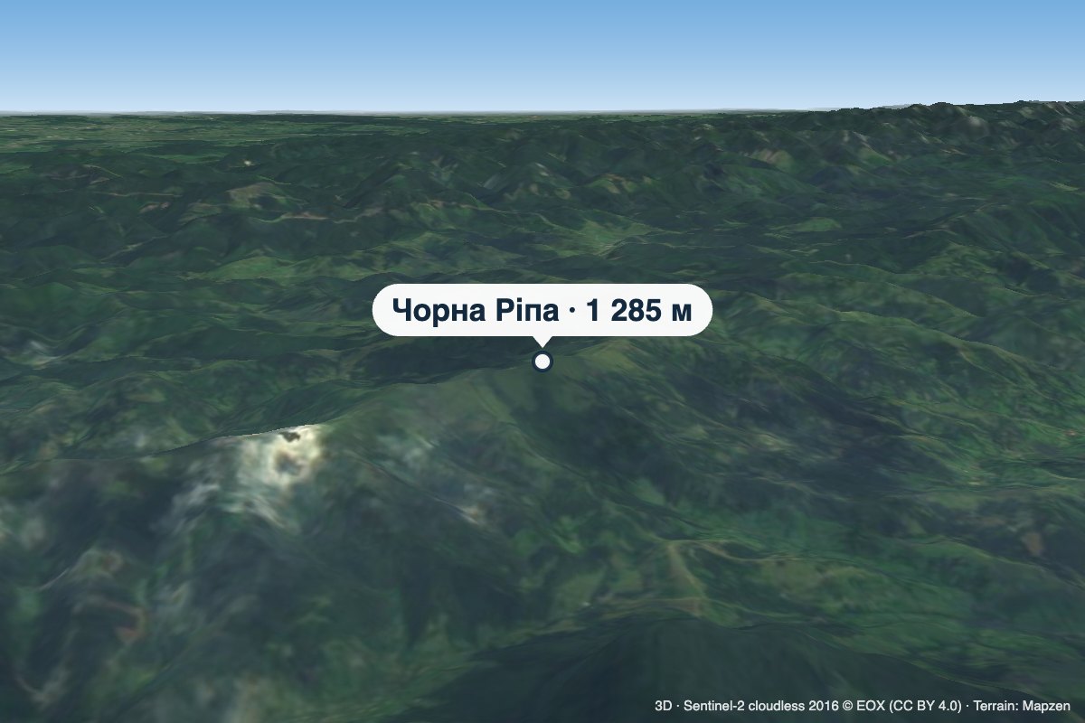 PeakMount Chorna RipaNovoselytsiaaltitude 1 285 m · Watershed Ridge range3 trails to the topChorna Ripa is a 1,285 m summit in the Eastern Beskids, on the Vododilnyi (Verkhovyna Watershed) Ridge.
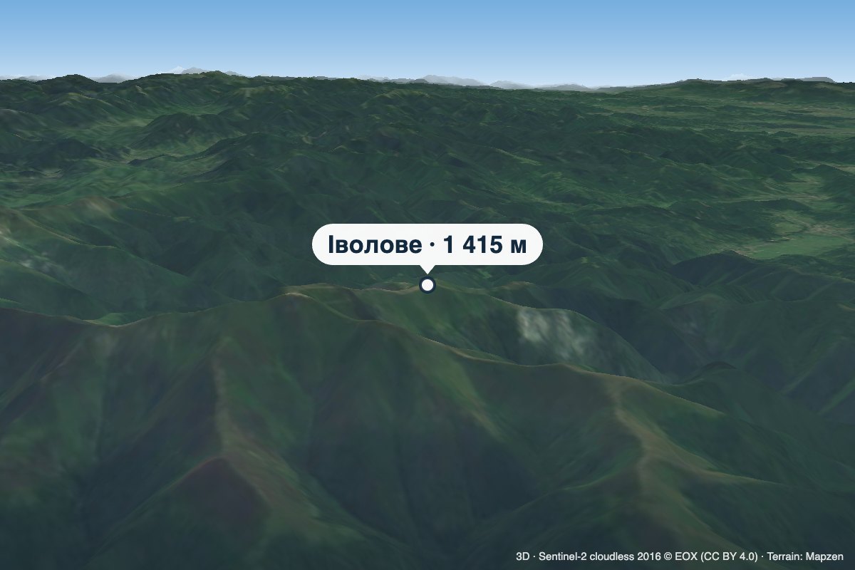 PeakMount IvoloveVovchyialtitude 1 415 m · Borzhava rangeIvolove (sometimes spelled Ivolovo) is a 1,415 m summit in the Polonyna Borzhava massif in Zakarpattia Oblast.
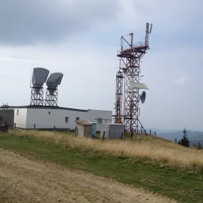 PeakMount PlaiVolovetsaltitude 1 323 m · Borzhava rangePlai is a 1,323 m mountain in the Polonyna Borzhava massif (Polonynskyi Ridge), in the Mukachevo district of...
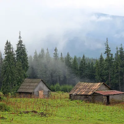 Mountain meadow1 440 mPolonyna Kukul (Kukul), VoronenkoVoronenkoPolonyna Kukul is a mountain meadow in the Ukrainian Carpathians, within the Kukul ridge (Kukul mountain - 1539 m),...
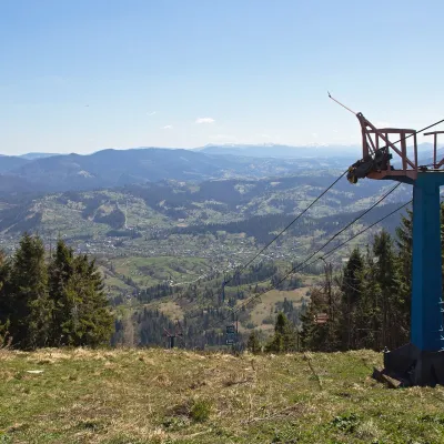 PeakMount TrostianSlavskealtitude 1 232 m · Skole Beskids rangeTrostian is a peak of the Skole Beskids in Lviv Oblast, west of the town of Slavske.
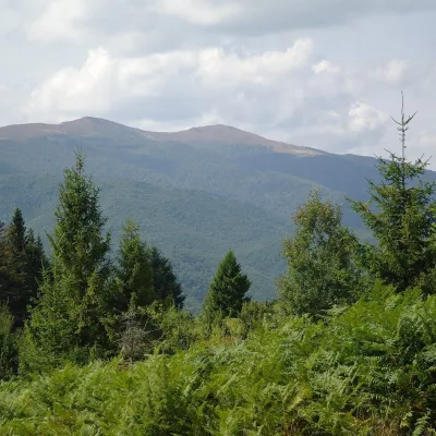 Mountain meadow1 400 mPolonyna Rivna (Runa)LumshoryPolonyna Rivna, more often called Runa in Zakarpattia (in the local dialect "runa" means exactly "flat"), is a broad,...
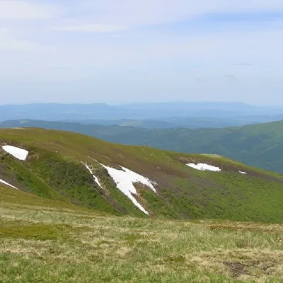 PeakMount Runa-PlaiTurya Polyanaaltitude 1 227 m3 trails to the topRuna-Play is a 1,227-meter peak of the Ukrainian Carpathians, located in the southeastern part of the Runa Valley.
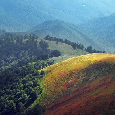 PeakMount Biletsky VerkhPodobovetsaltitude 1 146 m · Borzhava range1 trail to the topBiletsky Verkh is a mountain 1146 m above sea level on the Borzhava ridge.
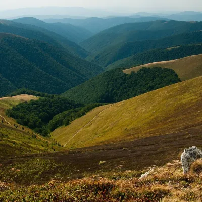 Mountain meadow1 400 mPolonyna BorzhavaPylypetsPolonyna Borzhava is the longest polonyna massif in Zakarpattia and one of the best known in the Polonynskyi Ridge of...
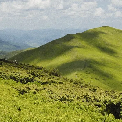 Mountain meadowMount Liutianska HolytsiaLiutaaltitude 1 375 m9 trails to the topLiutianska Holytsia (also known as Lautanska Holytsia and Liutanska Holytsia) is a 1375-meter peak in the Ukrainian...
Waters and waterfalls
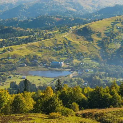 LakeLake Bukovets (Bukovetsky Pass)BukovetsThe large lake Bukivets is located on the border of Kosiv and Verkhovyna districts.
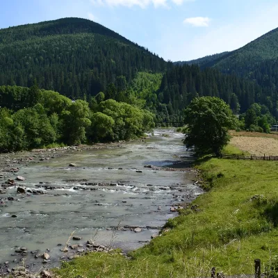 RiverChorna Tysa RiverYasinyaThe Chorna Tysa is a mountain river in eastern Zakarpattia. It rises on the northern spurs of the Svydovets massif...
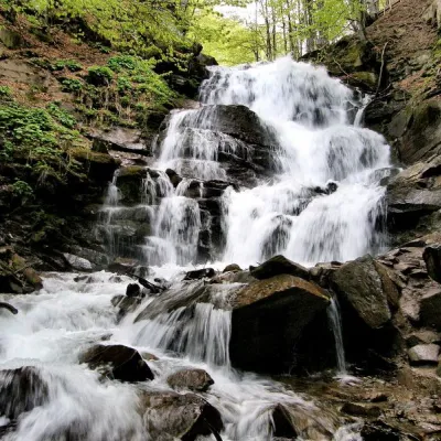 Waterfall"Shypit Waterfall" PylypetsPylypetsIn a cozy corner of the Carpathian Mountains, among the evergreen mountain forests and steep, sharp cliffs, lies the...
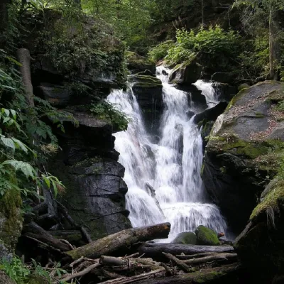 WaterfallVojvodyn waterfallPolianska HutaThe Voyevodyn Waterfall is located on the stream of the same name near the village of Zhdeniyevo in Zakarpattia...
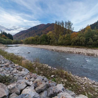 RiverTeresva RiverUst-ChornaThe Teresva forms in Ust-Chorna, where the Mokrianka and Brusturianka meet, and flows south through Dubove, Kalyny,...
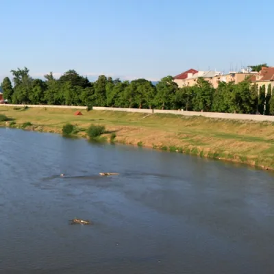 RiverLatorytsiaRoztokaLatorytsia River - Latorytsia and its surroundings are a popular destination for eco-tourism.
Mountain ranges: Gorgany, Skole Beskids. In other countries: 🇸🇰 Kysuce Beskids, 🇸🇰 Lesser Fatra, 🇸🇰 Low Tatras, 🇸🇰 High Tatras, 🇸🇰 Spiš Magura, 🇸🇰 Slovak Ore Mountains, 🇸🇰 Volovec Mountains, 🇵🇱 Żywiec Beskids, 🇨🇿 Moravian-Silesian Beskids, 🇵🇱 Sądecki Beskids, 🇸🇰 Čergov Mountains, 🇵🇱 Low Beskids
Trails and peaks near which naturalists recorded the species (GBIF, iNaturalist), matched by altitude and habitat. Sightings are not guaranteed.
Sources
- Вікіпедія: Плаун звичайний
- Wikipedia (en): Lycopodium clavatum
- Наказ Міндовкілля від 15.02.2021 № 111: Перелік видів рослин та грибів, що заносяться до Червоної книги України
- Директива Ради 92/43/ЄЕС про збереження природних оселищ (консолідований текст, додатки II, IV, V)
- iNaturalist: Lycopodium clavatum (спостереження в Карпатах)
GBIF · iNaturalist · Wikidata · Distribution data: GBIF.org (CC0 and CC BY records), iNaturalist; names and identifiers: Wikidata (CC0). Text: Karpaty.rocks, checked 11.11.2026.
