Mount Hordia traverse (green)
2.5 kmLength
323 mAscent
338 mDescent
1 375 mMax. altitude
1 270 mMin. altitude
Trail map
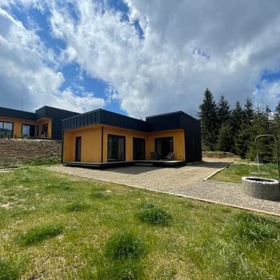
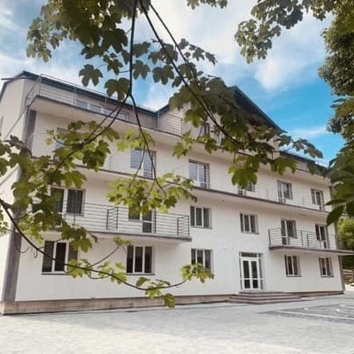
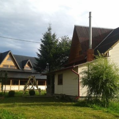
Where to stay nearby
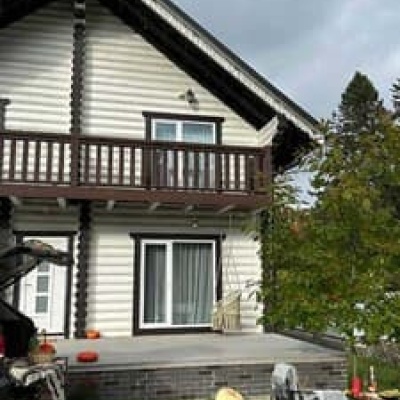
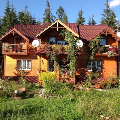
Near the start · Vorokhta
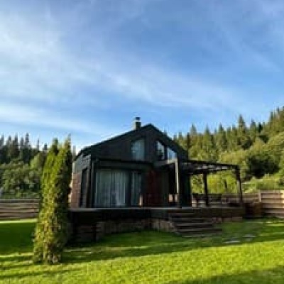
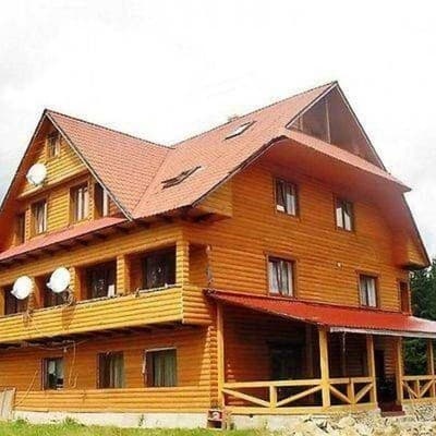
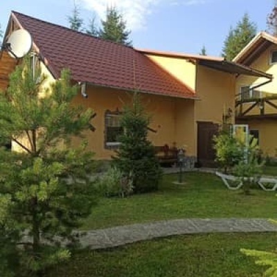
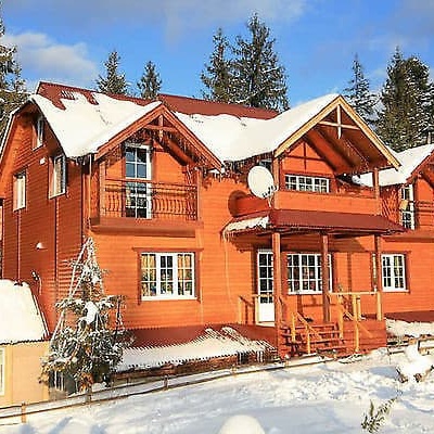
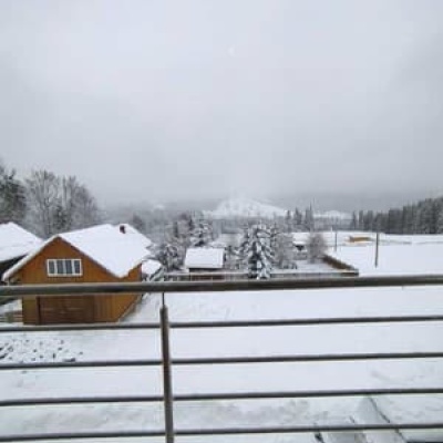
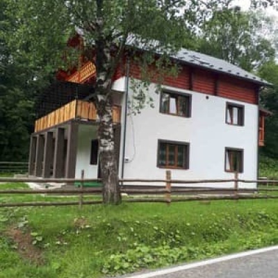
Near the finish · Vorokhta

Weather and adviceLoading the forecast…
About the trail
Route Mount Hordia traverse (green). Has green marking (local routes).
At a glance
A short route of 2.5 km with 323 m of ascent. Estimated walking time: about 1 h, not counting stops. Difficulty: easy. Waymarking: green.
Water and overnight stays
Springs near the trail: at km 0 and 1. Some springs run low or dry up in late summer.
Huts and shelters near the trail: Mountain shelter below Mount Khorde (km 0), Hut below Mount Khorde (km 1.5), Hut on Polonyna Hordishyrka (km 1.5), Hut below Mount Khorde (2) (km 1.5).
When to go
Best time: May to October. In winter deep snow is possible, so experience and winter gear are needed.
Getting there
This is a one-way route: the finish is 2 km from the start in a straight line, so plan your way back in advance.
FAQ
- How long does the route take?
- Estimated walking time: about 1 h, not counting stops.
- Is there water on the route?
- Springs near the trail: at km 0 and 1. Some springs run low or dry up in late summer.
- Where can I stay overnight?
- Huts and shelters near the trail: Mountain shelter below Mount Khorde (km 0), Hut below Mount Khorde (km 1.5), Hut on Polonyna Hordishyrka (km 1.5), Hut below Mount Khorde (2) (km 1.5).
Water and shelter on the route
- Mountain shelter below Mount Khordekm 0 from the start · 250 m off the path · Not verified · 1 313 m
- Spring below Mount Khorde (7)km 0 from the start · 250 m off the path · Not verified · 1 284 m
- Spring below Mount Khorde (9)km 0.8 from the start · Not verified · 1 340 m
- Spring below Mount Khorde (11)km 1.2 from the start · Not verified · 1 325 m
- Hut below Mount Khordekm 1.5 from the start · Not verified · 1 311 m
- Hut on Polonyna Hordishyrkakm 1.5 from the start · Not verified · 1 304 m
- Hut below Mount Khorde (2)km 1.5 from the start · 70 m off the path · Not verified · 1 302 m
- Spring below Mount Khorde (16)km 2 from the start · Not verified · 1 337 m
Comments
Trails nearby
All trails HardMulti-dayMarkedEast Carpathian Tourist TrailElevation profile635–1 819 m278.1 kmascent 14 105 m
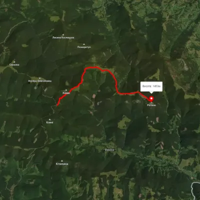 ModerateOne-dayMarkedTo Mount RotyloElevation profile1 210–1 453 m8.5 kmascent 646 m≈ 3.5 h walking
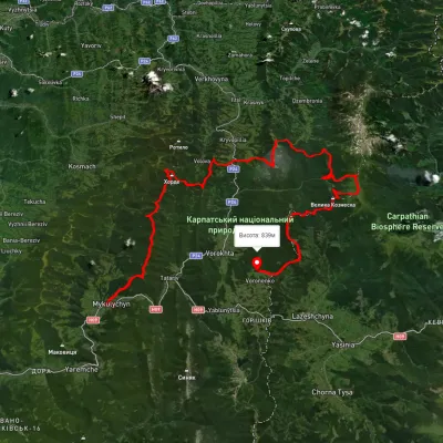 HardMulti-dayUnmarkedMykulychyn village to Voronenko villagevia Mount Khorde, Mount Pozhyzhevska +2Elevation profile585–2 036 m93 kmascent 4 482 m