Heather
About
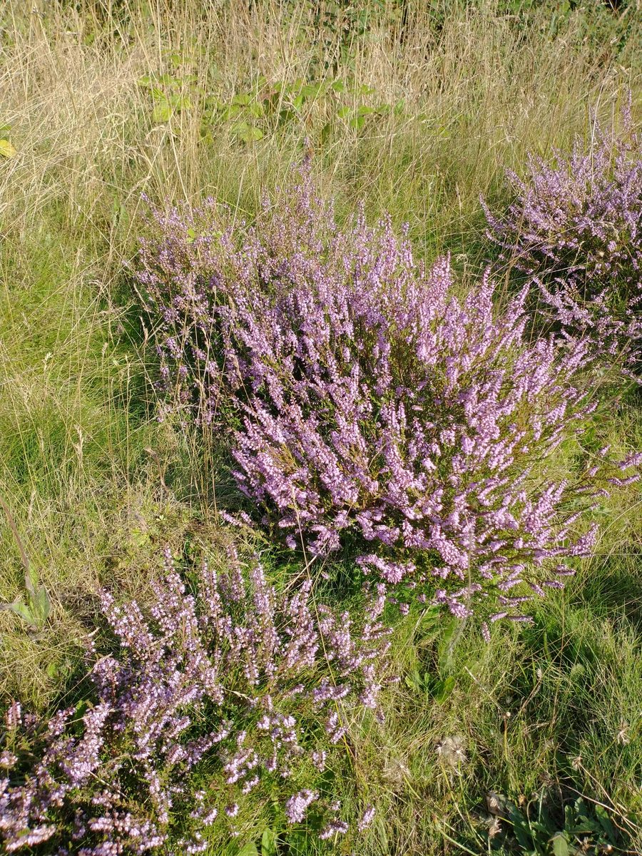
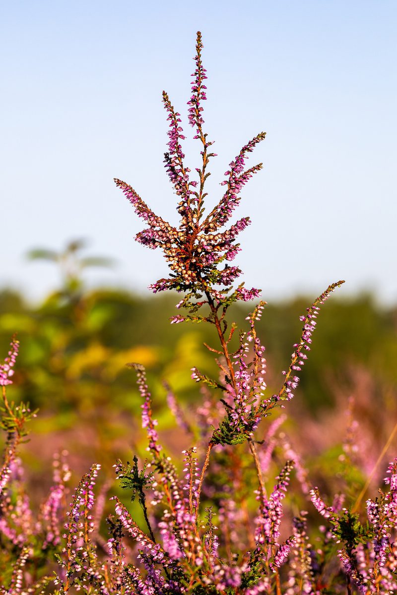
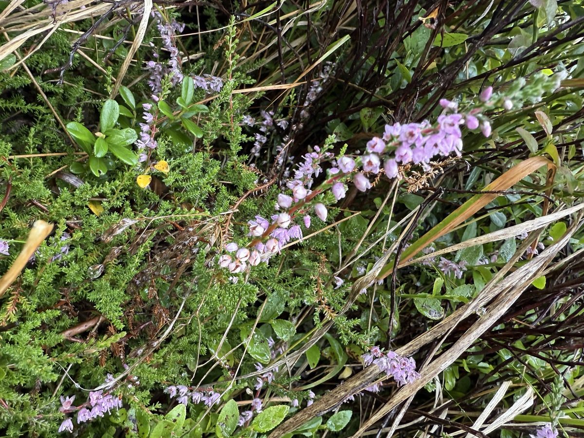
Heather is not a tree or grass, but a very branched evergreen shrub 30–60 cm tall. It is the only species of its kind. Thin stems spread out and easily root, while tiny scale-like leaves 1.5–3 mm long sit densely on the straight branches.
Heather is an indicator of acidic and poor soils: it grows both on dry sands and in swamps, but always where the soil is acidic and avoids limestone. It occurs in both plains and mountains: in the Alps, it rises up to 2700 m, in the Tatras — up to 2060 m. In the Ukrainian Carpathians, it is most commonly found in Ivano-Frankivsk, Lviv, and Transcarpathia — in light forests, glades, edges of forests, and peat bogs. In the shade, heather grows poorly and almost does not bloom.
Heather blooms late — from July to September, when most plants have already finished blooming. The small drooping flowers are lilac or lilac-pink, rarely white, gathered in one-sided long racemes; after blooming, the corolla does not fall off and remains with the fruits. For bees, it is a valuable autumn honey plant: from one hectare of heather, 60–100 kg of honey can be obtained. Heather honey is dark, thick, and slightly bitter.
Local names for heather include veresk, veresyn, and pidbrusnychnyk. The name of the month of September is likely related to heather — during this time, heather blooms most abundantly. Common heather is not listed in the Red Book of Ukraine.
Where in the Carpathians

The map shows where naturalists recorded the species (GBIF, CC0 and CC BY records), not every place it lives. The Ukrainian Carpathians are less studied, so a blank area does not mean the species is absent.
- Countries
- Slovakia · Czechia · Poland · Ukraine · Romania · Hungary
- Mountain ranges
- High Tatras, Western Tatras, Volovec Mountains, Low Tatras, Strážov Mountains, Skorušina Mountains, Slovak Ore Mountains, Żywiec Beskids, Low Beskids, Lesser Fatra
- Altitude belts
- Foothills (below 600 m) · Beech forests (600–1200 m) · Subalpine belt (1600–1900 m)
When to see it
| Jan | Feb | Mar | Apr | May | Jun | Jul | Aug | Sep | Oct | Nov | Dec | |
|---|---|---|---|---|---|---|---|---|---|---|---|---|
| Flowering | ||||||||||||
| Fruit |
From naturalists’ observations in the Carpathians (iNaturalist, research grade): the darker the cell, the more often the species is seen that month.
Protection and rules
Not listed in the Red Book of Ukraine.
FAQ
When does heather bloom?
From July to September. The name of the month is likely derived from heather.
Where does heather grow in the Carpathians?
On acidic poor soils — in light forests, glades, edges of forests, and peat bogs. In Ukraine, it is found in Ivano-Frankivsk, Lviv, and Transcarpathia.
Similar species
Where to meet it
Trails
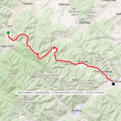 HardMulti-dayMarkedHuta village Pasichna villageElevation profile524–1 207 m26.4 kmascent 993 m≈ 8.5 h walking
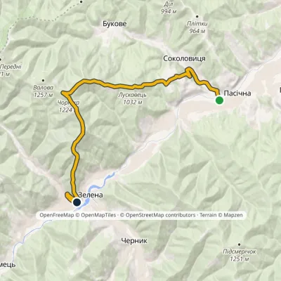 ModerateOne-dayMarkedPasichna village Zelena villagevia Mount ChortkaElevation profile520–1 224 m15.8 kmascent 759 m≈ 5.5 h walking
 ModerateTwo-dayLybokhora village to Kozakivka villagevia Mount MatahivElevation profile583–1 217 m22.4 kmascent 700 m≈ 7 h walking
Peaks and meadows
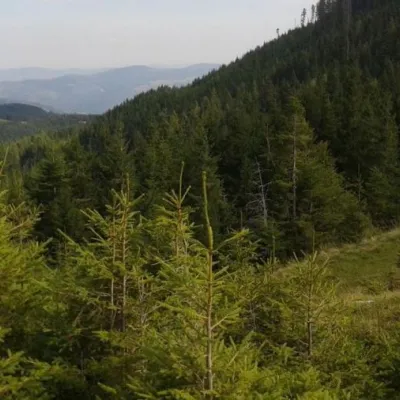 Mountain meadow1 260 mPolonyna LazokNadvirna districtThe Lazok meadow near the city of Yaremche is quite popular among tourists.
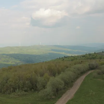 PeakMount TsiukhivOrivaltitude 939 m · Gorgany range6 trails to the topTsiukhiv (also Tsiukhiv Dil or Tsiukhiv Verkh) is a 939 m mountain (939.4 m exactly; old maps give 942 m or 931 m) in...
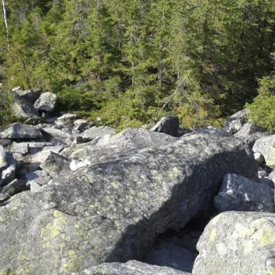 PeakMount SinyachkaYaremchealtitude 1 400 m · Gorgany range10 trails to the topMount Sinyachka is a 1400-meter peak in the Gorgan mountain range of the Ukrainian Carpathians, located in the...
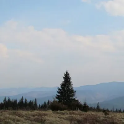 Mountain meadow1 200 mPolonyna ShchivkaYaremcheThe Shchivka meadow has a very good location. Its length is about 700 meters, it has a slight slope, which protects...
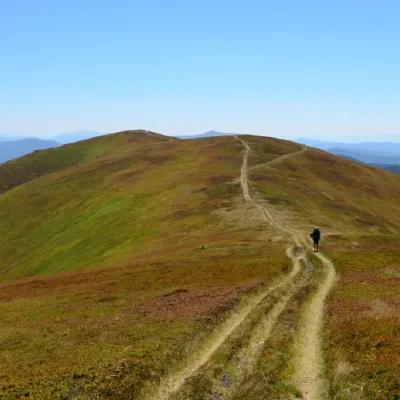 PeakMount Zhid-MaguraPylypetsaltitude 1 517 m · Borzhava range25 trails to the topZhyd-Magura (also called Magura-Zhyd) is a 1517-meter peak of the Ukrainian Carpathians, which is located within the...
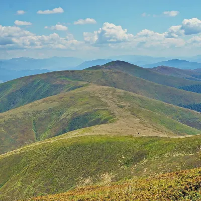 PeakMount GembaPylypetsaltitude 1 491 m · Borzhava range38 trails to the topGemba, or Hymba (1491 m), is one of the highest peaks of the Borzhava range, above the village of Pylypets in...
Waters and waterfalls
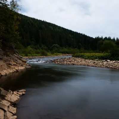 RiverSvicha RiverVyhodaThe Svicha is a 107-km right-bank tributary of the Dniester. It rises on the northern slopes of the main Gorgany...
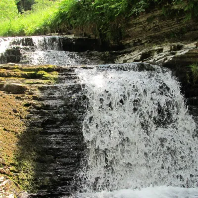 WaterfallSukil WaterfallsSukilNear the village of Sukil in the Bohorodchany urban hromada, the Sukil Waterfalls are truly a paradise for tourists...
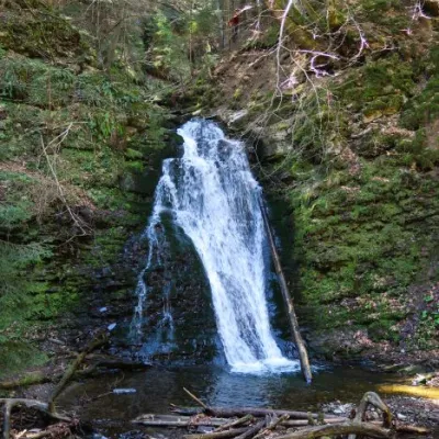 WaterfallSopit waterfallSopitSopit (Sopitsky ) is a waterfall in the Ukrainian Carpathians on the territory of the Skole Beskydy National Nature...
Mountain ranges: In other countries: 🇸🇰 High Tatras, 🇸🇰 Western Tatras, 🇸🇰 Volovec Mountains, 🇸🇰 Low Tatras, 🇸🇰 Strážov Mountains, 🇸🇰 Skorušina Mountains, 🇸🇰 Slovak Ore Mountains, 🇵🇱 Żywiec Beskids, 🇵🇱 Low Beskids, 🇸🇰 Lesser Fatra, 🇸🇰 Little Carpathians, 🇸🇰 Kysuce Beskids, 🇨🇿 Moravian-Silesian Beskids, 🇸🇰 Slovak Paradise
Trails and peaks near which naturalists recorded the species (GBIF, iNaturalist), matched by altitude and habitat. Sightings are not guaranteed.
Sources
- Вікіпедія: Верес звичайний
- Wikipedia (en): Calluna vulgaris
- Wikipedia (pl): Wrzos zwyczajny
- GBIF: спостереження Calluna vulgaris в Українських Карпатах (Івано-Франківська, Львівська, Закарпатська обл.)
- Вікіпедія: Вересень
- Перелік видів рослин та грибів, що заносяться до Червоної книги України (наказ Міндовкілля від 15.02.2021 № 111, z0370-21)
- GBIF: Червона книга України — рослини й гриби (набір даних)
- GBIF: таксон і категорія МСОП
GBIF · iNaturalist · Wikidata · Distribution data: GBIF.org (CC0 and CC BY records), iNaturalist; names and identifiers: Wikidata (CC0). Text: Karpaty.rocks, checked 09.11.2026.
