Skorušina Mountains
Skorušinské vrchy
The Skorušina Mountains are a low range in northern Slovakia between Orava and the Tatras, part of the Podhale-Magura Area of the Outer Western Carpathians. Forested ridges with clearings give wide views of the Western Tatras. The highest summit is Skorušina (1,314 m) in the north-east of the range.
- Elevation
- 539–1,314 m
- Highest summit
- Skorušina, 1,314 m
- Area
- ≈ 208 km²
- Countries
- Slovakia
- Part of
- Podhale and Spiš
On the map
Waymarked trails
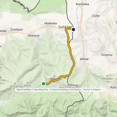 ModerateOne-dayMarkedOravice ChochołówElevation profile790–1 132 m12.5 kmascent 348 m≈ 4 h walking
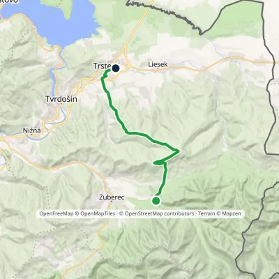 ModerateTwo-dayMarkedHoráreň Brestová Trstená, WestElevation profile603–1 314 m19.1 kmascent 591 m≈ 6 h walking
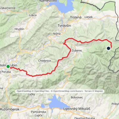 HardMulti-dayMarkedDolný Kubín Junction under UmrláElevation profile476–1 314 m56.6 kmascent 2 149 m
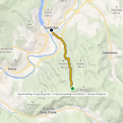 EasyOne-dayMarkedBiedna TvrdošínElevation profile569–917 m4.5 kmascent 4 m≈ 1 h walking
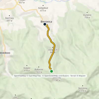 EasyOne-dayMarkedJavorinky BrezovicaElevation profile714–1 117 m4.3 km≈ 1 h walking
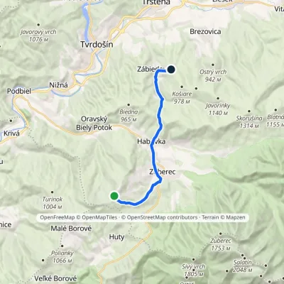 ModerateOne-dayMarkedPrieková ZábiedovoElevation profile679–1 170 m12.8 kmascent 355 m≈ 4 h walking
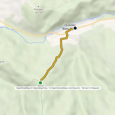 EasyOne-dayMarkedBane Oravský Biely PotokElevation profile648–943 m2.4 kmascent 7 m≈ 30 min walking
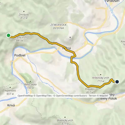 EasyOne-dayMarkedZa Lučivným Stará maťElevation profile557–857 m8.5 kmascent 371 m≈ 3 h walking
Peaks
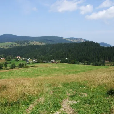 PeakKopec🇸🇰 Slovakia · Oravský Biely Potokaltitude 1 251 mKopec (Slovak for “mound”; formerly Polish Kopiec) is a 1,251 m summit, the second highest in the Skorušinské vrchy...
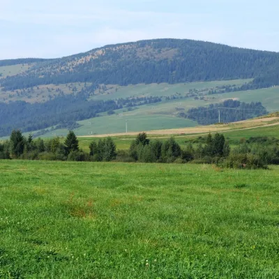 PeakMachy🇸🇰 Slovakia · Oravský Biely Potokaltitude 1 202 mMachy is a 1202 m summit in the Skorušina Mountains in Orava, northern Slovakia.
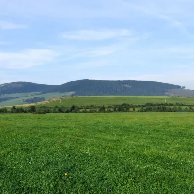 PeakMních🇸🇰 Slovakia · Zuberecaltitude 1 110 mMních is a summit 1110 m high in the Skorušina Mountains (Skorušinské vrchy) in Orava, Slovakia, in their Kopec subunit.
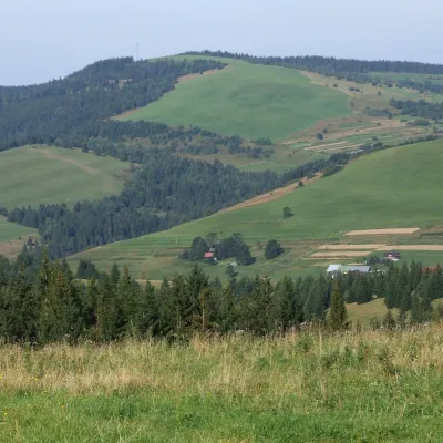 PeakPolianky🇸🇰 Slovakia · Malé Borovéaltitude 1 066 mPolianky is a 1066 m summit in the Skorušinské vrchy in Slovakia (Polish geographers call the range the Orava or...
Huts and shelters · 19
AllHut under KopecHut below SkorušinaPicnic shelter below BanePicnic shelter below SkorušinaPicnic shelter below BlatoWeather shelter below Javorinky (north slope)Weather shelter below BiednaWeather shelter below Krúpová (south slope), 983 mWeather shelter below KopecWeather shelter below MníchPicnic shelter below MachyWeather shelter below Magura Witowska (west slope), 1 231 mPicnic shelter below PrasatínPicnic shelter below Ostrý Vrch (south slope), 924 mWeather shelter below Javorinky (south-west slope)Weather shelter below Krúpová (south-west slope), 933 mWeather shelter below Magura Witowska (west slope), 936 mWeather shelter below Magura Witowska (south slope)
Springs · 18
AllSpring below Diel (east slope)Medokýš Spring, 730 mSpring below Ostrý Vrch (north slope), 729 mCaptured spring below SkorušinaCaptured spring below BlatnáCaptured spring below Grúň (north-west slope), 942 mSpring below Ostrý Vrch (east slope), 715 mSpring below Osly (north-west slope), 945 mSpring below Grúň (north-west slope), 924 mSpring below BaneSpring below Vrchy (east slope), 889 mSpring below Krásnický vrch (south-east slope), 759 mSpring below Ostrý Vrch (south slope), 923 mSpring below Diel (south slope)Spring below Skalky (west slope), 700 mSpring below KrúpováSpring below Krásnický vrch (south-east slope), 684 mDrinking water below Ostražica
© EEA (CC BY 4.0) · GMBA Mountain Inventory v2 (CC BY 4.0) · © OpenStreetMap contributors (ODbL)
