Javorinky – Brezovica
Trail map
Route, springs and shelters: © OpenStreetMap contributors (ODbL) · elevation: Copernicus DEM © DLR e.V., © Airbus DS · Data & licences
About the trail
Route Javorinky – Brezovica. Has yellow marking (regional route №8578, KST). Waymarking data: OpenStreetMap (© OpenStreetMap contributors, ODbL).
Officially marked regional tourist route No. 8578. The marking is yellow, the sign is a horizontal stripe on a white background. Marked and maintained by: KST. Length of the route — 4.3 km. Location: mountain massif — Podhale and Spiš, Slovakia.
At a glance
A short route of 4.3 km with 8 m of ascent and 403 m of descent from Javorinky to Brezovica. Estimated walking time: about 1 h, not counting stops. Difficulty: easy. Waymarking: yellow.
Route stages
- 0–4.5 kmDescent of 390 m to Brezovica
Steepest kilometre: km 0–1, a descent of 150 m (≈15%).
Water and overnight stays
Springs near the trail: at km 1.5 and 4. Some springs run low or dry up in late summer.
When to go
Best time: May to October. In winter deep snow is possible, so experience and winter gear are needed.
Getting there
Start: Javorinky. This is a one-way route: the finish is 4 km from the start in a straight line, so plan your way back in advance.
FAQ
- How long does the route take?
- Estimated walking time: about 1 h, not counting stops.
- Is there water on the route?
- Springs near the trail: at km 1.5 and 4. Some springs run low or dry up in late summer.
Water and shelter on the route
- Spring below Ostrý Vrch (south slope), 923 mkm 1.6 from the start · Not verified · 923 m
- Spring below Ostrý Vrch (north slope), 729 mkm 3.9 from the start · 100 m off the path · Not verified · 729 m
Comments
Trails nearby
All trails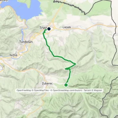 ModerateTwo-dayMarkedHoráreň Brestová Trstená, WestElevation profile603–1 314 m19.1 kmascent 591 m≈ 6 h walking
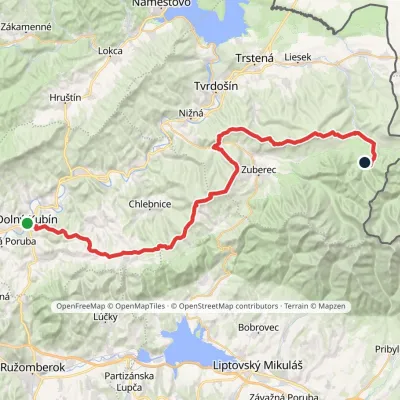 HardMulti-dayMarkedDolný Kubín Junction under UmrláElevation profile476–1 314 m56.6 kmascent 2 149 m
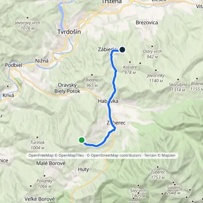 ModerateOne-dayMarkedPrieková ZábiedovoElevation profile679–1 170 m12.8 kmascent 355 m≈ 4 h walking
Craft nearby
All craft places Water parks & thermal poolsOravice thermal poolsVitanová6.6 km from the trailThe Oravice thermal pools (Termálne kúpalisko Oravice) are the municipal thermal baths in the mountain settlement of Oravice at the foot of the Western Tatras.
 Water parks & thermal poolsMeander Thermal Resort, OraviceVitanová6.7 km from the trailMeander Thermal & Ski Resort (formerly Meander Park) is a thermal water park and ski centre in the mountain settlement of Oravice in northern Slovakia, at the foot of...
 Cheese dairies & pasturesShepherds' Huts on Polana ChochołowskaKościelisko13 km from the trailPolana Chochołowska is the largest glade in the Polish Tatras and one of the largest in the whole range.
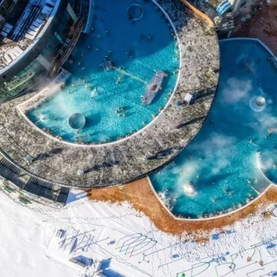 Water parks & thermal poolsChochołowskie TermyChochołów13 km from the trailChochołowskie Termy stand in the village of Chochołów in the Podhale region, north-west of Zakopane and not far from the Slovak border.
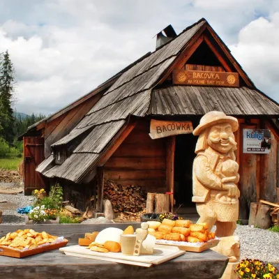 Cheese dairies & pasturesBiały Potok Shepherd's Hut, Witów: oscypek and cheese workshopsKościelisko14 km from the trailBiały Potok meadow in the village of Witów lies between the entrances to two of the most visited Tatra valleys, Chochołowska and Kościeliska.
 Cheese dairies & pasturesShepherd's Hut in the Kościeliska ValleyKościelisko16 km from the trailJózef Słodyczka's bacówka (shepherd's hut) on the Wyżnia Kira Miętusia glade is probably the most easily reached shepherds' hut in the Polish Tatras.
