Przysłop Witowski
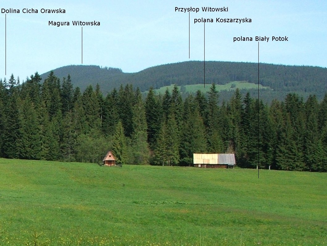
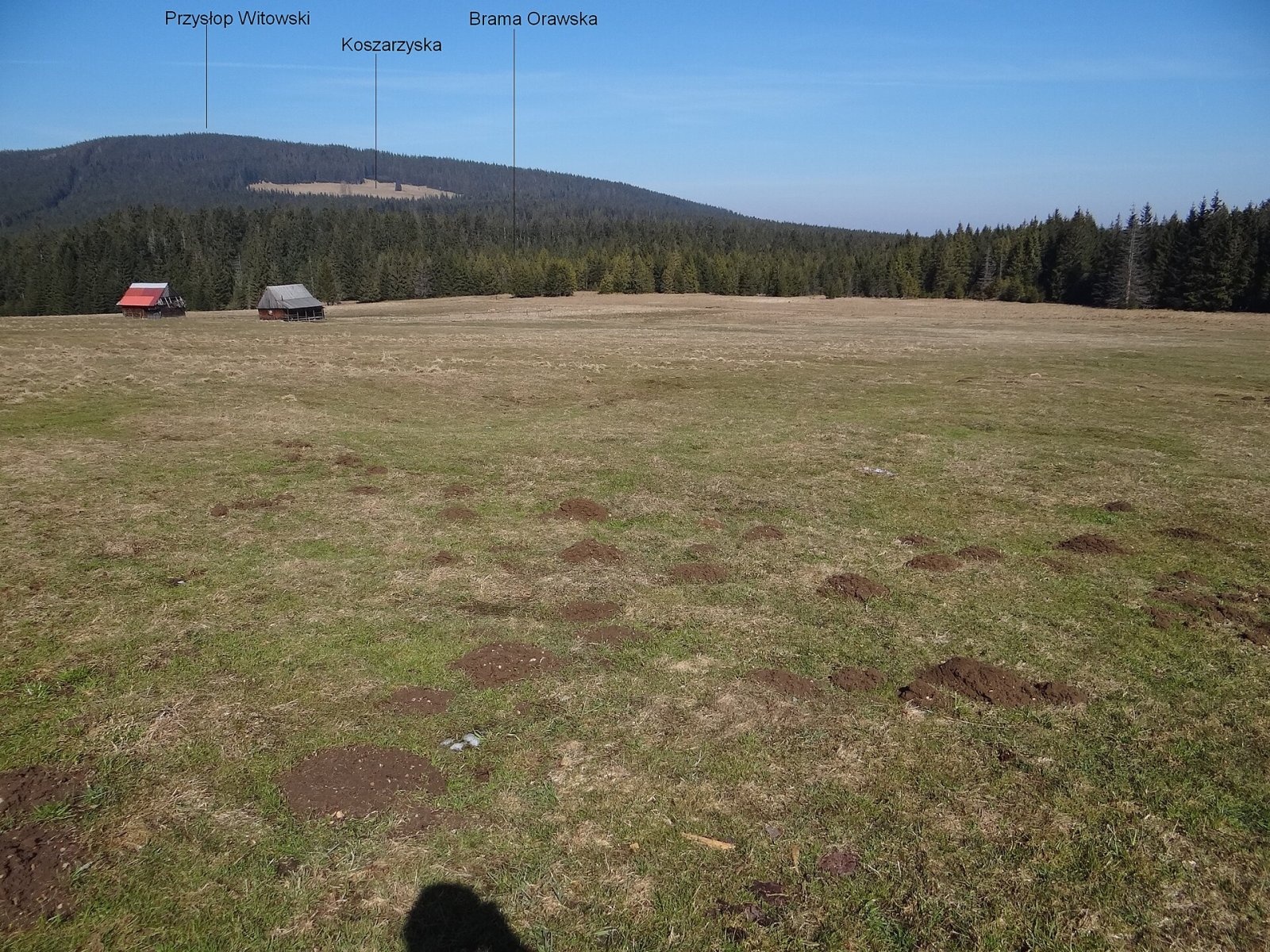
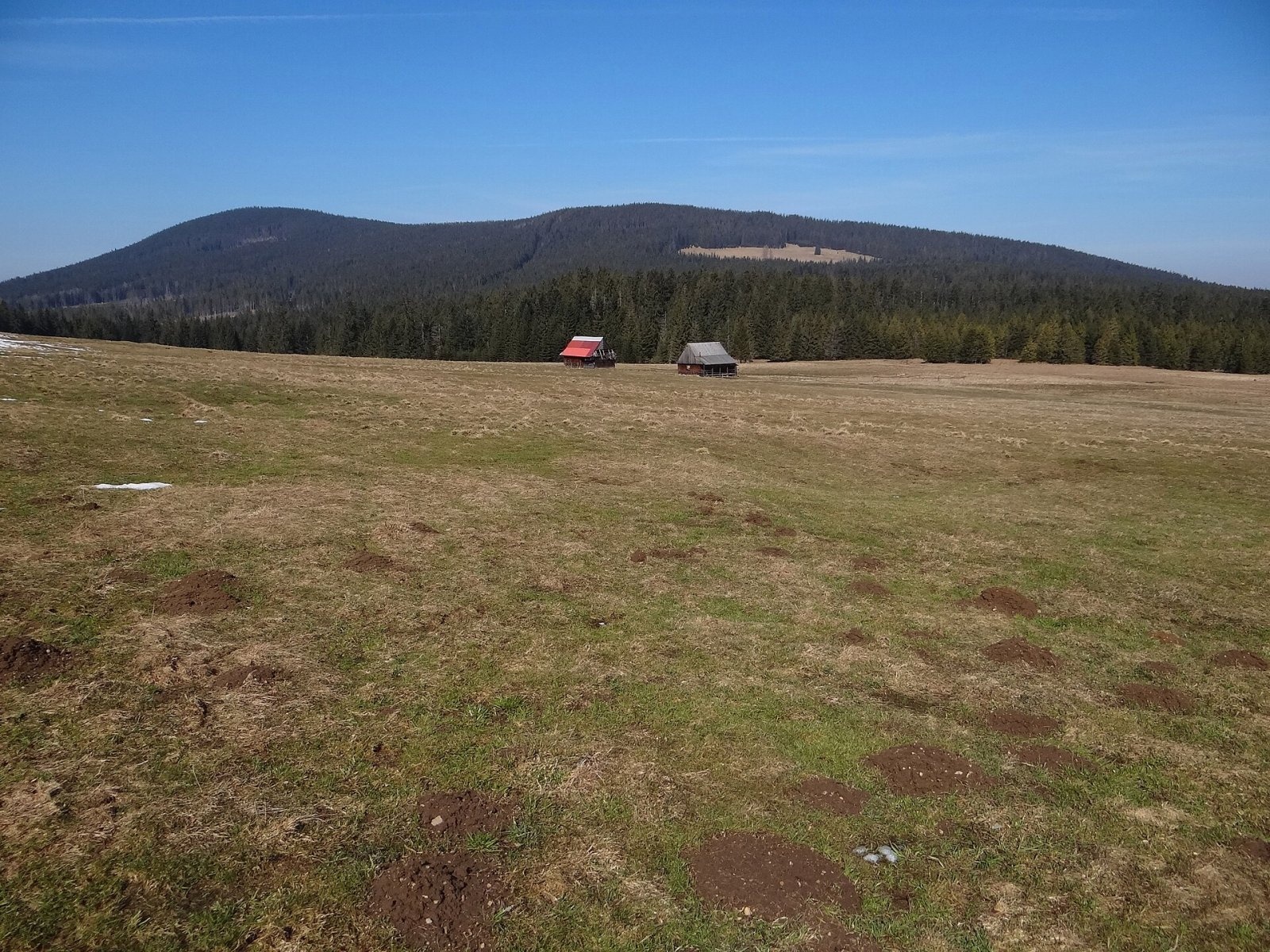
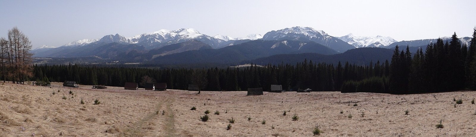
Przysłop Witowski (Slovak: Príslop) is a wooded 1,164 m summit on the Polish–Slovak border, just north-west of the Western Tatras. It belongs to the Orawicko-Witowskie Wierchy, part of the Skoruša Foothills (in the Slovak division, the Skorušinské vrchy); after Magura Witowska (1,232 m) it is the second-highest top of this small range. The Polish slopes belong to the village of Witów in Tatra County, Lesser Poland (about 3.5 km to the north-east), the Slovak slopes to Vitanová in Tvrdošín District, and below to the west lies the spa settlement of Oravice, about 19 km east of Tvrdošín. The state border runs about 50 m south-west of the summit (border post II/265).
Przysłop is the southernmost summit on the main ridge of the Orawicko-Witowskie Wierchy. The broad Brama Orawska pass (about 950–962 m) separates it from the Siwiańskie Turnie (1,065 m), which already belong to the Tatras, and a saddle to the west separates it from Magura Witowska. A side ridge, Hurchoci Wierch (1,056 m), runs north down to the Czarny Dunajec valley. The European watershed follows the ridge — not exactly along the border but slightly east of it: the southern slopes drain via the Oravica and Cicha Woda Orawska to the Black Sea, the northern and eastern ones via the Czarny Dunajec to the Baltic. As a result, near the Brama Orawska water from Polish springs flows into Slovakia, and the uppermost scrap of the Cicha valley lies in Poland.
How to get there / trails
- Blue trail from Witów via Mnichówka and Hurchoci Wierch to Przysłop and on to Magura Witowska — about 2 h up (1 h 25 min down).
- From Slovakia — the yellow trail from Oravice or from Suchá Hora to the Vyšné diely junction, from where the blue trail leads to the summit.
The summit is easily reached from all surrounding villages; the mountain lies outside the Tatra National Park.
The view from the top
The summit is covered by patchy forest, so the view from it is very limited. It is much better from the large clearings on the Polish slopes: from there you can see the neighbouring Skoruša hills, the nearby Tatras — including the Regle range — part of the Orava Beskids and, to the north, a wide view over Poland.
Nature and history
The Orawicko-Witowskie Wierchy are built of Carpathian flysch, the so-called Podhale flysch. The mountain is mostly wooded, but on the Polish side it has many large clearings with shepherds' huts that are still in use: Przysłop, Koszarzyska (Kosarzyska), Cicha Polana, Zdychałówka, Krzystkówka, Szczurówka, Mnichówka and Urchoci Wierch. Polish hikers from Zakopane once walked or rode carts across the neighbouring Molkówka clearing and along a good road down the Cicha valley to Oravice and Osobitá; after the Second World War the new border closed this route.
Safety, season and rules
This is a quiet wooded mountain without crags, accessible all year. Near the border keep to the marked trails; sheep guarded by dogs may graze on the clearings. In winter the paths are snowbound. Mountain rescue: on the Polish side 985 or +48 601 100 300, on the Slovak side HZS 18 300 (+421 18 300); 112 works everywhere.
Photos: Jerzy Opioła, CC BY-SA 4.0; Jerzy Opioła, CC BY-SA 3.0; Jerzy Opioła, CC BY-SA 3.0; Jerzy Opioła, CC BY-SA 4.0 — Wikimedia Commons.
Getting there from Ukraine
Border crossings
- Krakovets – Korczowa — road, 24/7
- Shehyni – Medyka — road, 24/7 Pedestrian crossing is not confirmed by the Ukrainian border service — check dpsu.gov.ua before the trip.
- Smilnytsia – Krościenko — road, 24/7
- Hrushiv – Budomierz — road, 24/7
- Mostyska – Przemyśl (rail) — rail, 24/7
By car
Lviv – Zakopane ≈421 km, ≈5 h 10 min without border queues. Route: M-10 Lviv – Krakovets → Krakovets – Korczowa checkpoint → A4 motorway (Rzeszów – Tarnów – Kraków) → Kraków southern bypass → S7/DK7 → DK47 ('Zakopianka') via Nowy Targ → Zakopane. The A4 Katowice – Kraków section (Balice and Mysłowice toll plazas) is tolled, but this route does not use it. In summer and at weekends the DK47 near Zakopane is often congested.
Checked 23.10.2026; border crossing hours and timetables change — check before you travel.
Location on the map
Comments
Trails nearby
All trails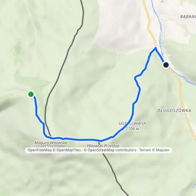 EasyOne-dayMarkedVyšné diely MaguraElevation profile837–1 231 m5.8 kmascent 121 m≈ 1.5 h walkingunder 1 km from Przysłop Witowski
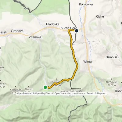 ModerateOne-dayMarkedOravice ChochołówElevation profile790–1 132 m12.5 kmascent 348 m≈ 4 h walking1.8 km from Przysłop Witowski
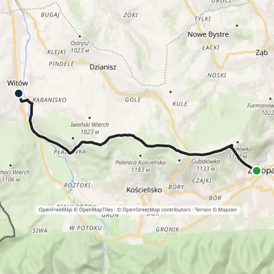 ModerateOne-dayMarkedZakopane WitówElevation profile820–1 179 m11.5 kmascent 405 m≈ 3.5 h walking2.4 km from Przysłop Witowski
Nearby attractions
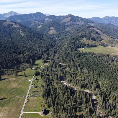 NatureChochołowska ValleyKościelisko2.7 km from Przysłop WitowskiThe Chochołowska Valley lies at the western edge of the Polish Western Tatras and is the longest and largest valley in the country: about 10 km long and over 35 km² in...
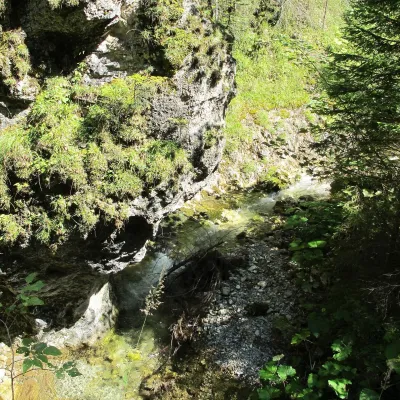 WaterfallJuráňova dolina: the Tiesňavy gorge with waterfalls and giant's kettlesVitanová3.7 km from Przysłop WitowskiJuráňova dolina is the largest branch of the Tichá Oravská valley in the Western Tatras (Západné Tatry), above the resort of Oravice on the Slovak side of the border...
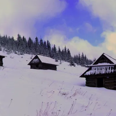 Mountain meadowPolana na StołachKościeliskoaltitude 1 330 m6.1 km from Przysłop WitowskiPolana na Stołach, often called simply Stoły or Hala Stoły, is a high mountain meadow in the Western Tatras, on the small limestone massif of Stoły above the...
Craft nearby
All craft places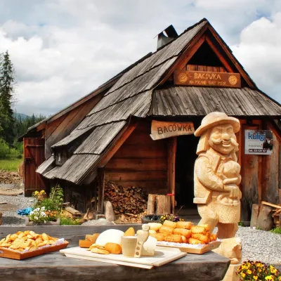 Cheese dairies & pasturesBiały Potok Shepherd's Hut, Witów: oscypek and cheese workshopsKościelisko3.3 km from Przysłop WitowskiBiały Potok meadow in the village of Witów lies between the entrances to two of the most visited Tatra valleys, Chochołowska and Kościeliska.
 Water parks & thermal poolsMeander Thermal Resort, OraviceVitanová4.5 km from Przysłop WitowskiMeander Thermal & Ski Resort (formerly Meander Park) is a thermal water park and ski centre in the mountain settlement of Oravice in northern Slovakia, at the foot of...
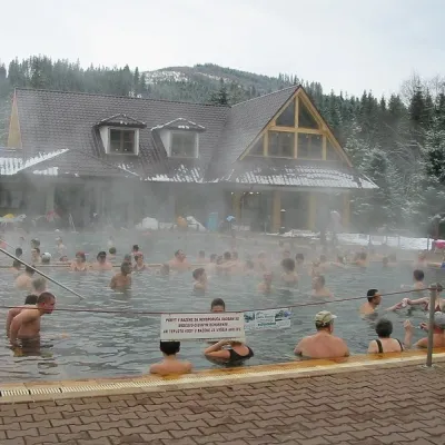 Water parks & thermal poolsOravice thermal poolsVitanová4.6 km from Przysłop WitowskiThe Oravice thermal pools (Termálne kúpalisko Oravice) are the municipal thermal baths in the mountain settlement of Oravice at the foot of the Western Tatras.
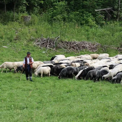 Cheese dairies & pasturesShepherd's Hut in the Kościeliska ValleyKościelisko5.3 km from Przysłop WitowskiJózef Słodyczka's bacówka (shepherd's hut) on the Wyżnia Kira Miętusia glade is probably the most easily reached shepherds' hut in the Polish Tatras.
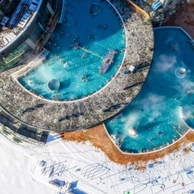 Water parks & thermal poolsChochołowskie TermyChochołów6.4 km from Przysłop WitowskiChochołowskie Termy stand in the village of Chochołów in the Podhale region, north-west of Zakopane and not far from the Slovak border.
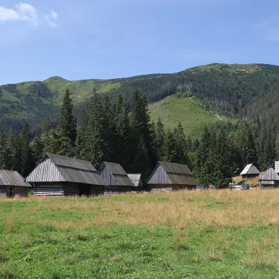 Cheese dairies & pasturesShepherds' Huts on Polana ChochołowskaKościelisko6.7 km from Przysłop WitowskiPolana Chochołowska is the largest glade in the Polish Tatras and one of the largest in the whole range.
