Polana na Stołach
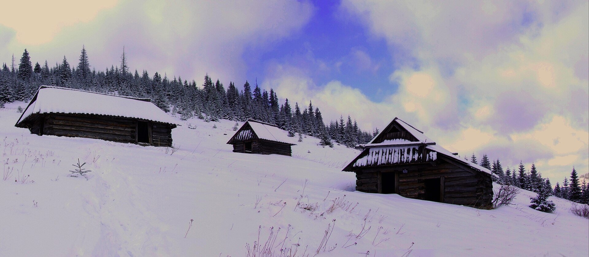
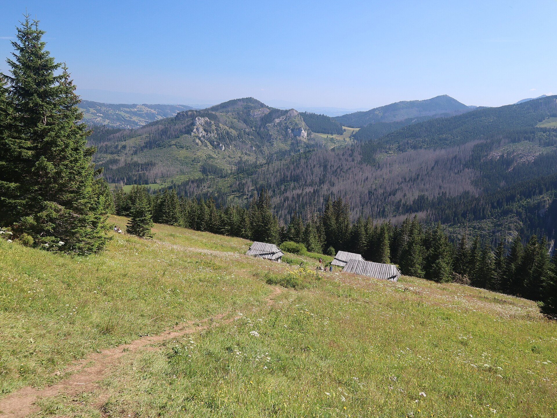
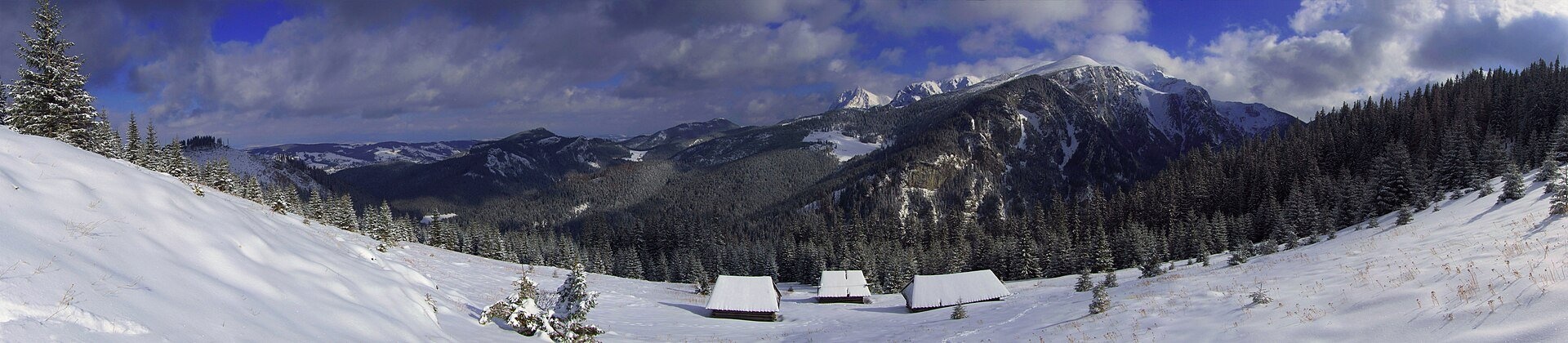
Polana na Stołach, often called simply Stoły or Hala Stoły, is a high mountain meadow in the Western Tatras, on the small limestone massif of Stoły above the Kościeliska Valley. It lies on the crest and on the steep eastern slope of the massif, at roughly 1,300–1,360 m, within Tatra National Park (TPN). It cannot be seen from the valley floor, so many walkers pass by without suspecting that a short climb leads to one of the quietest and most beautiful pastures of the Polish Tatras.
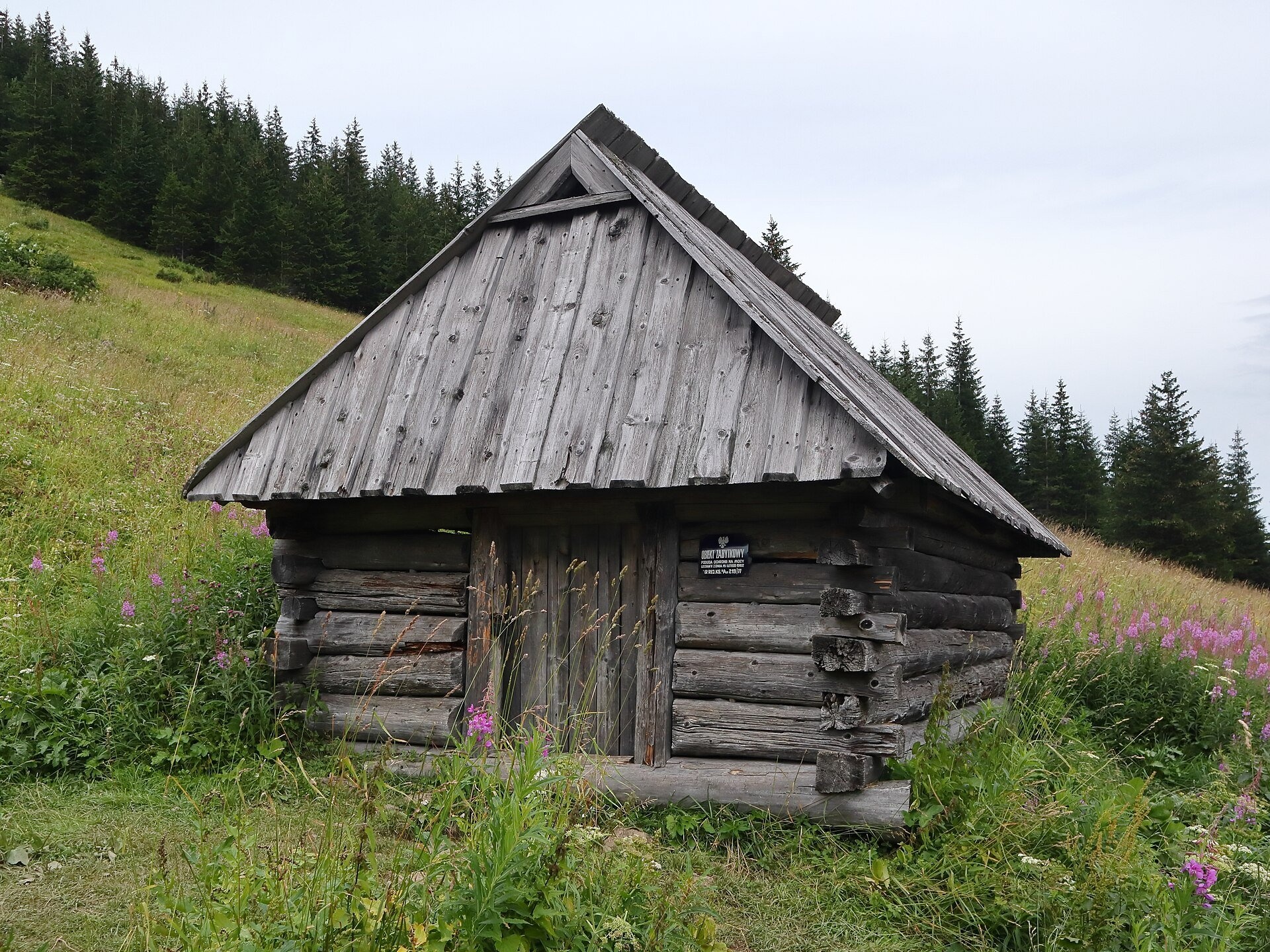
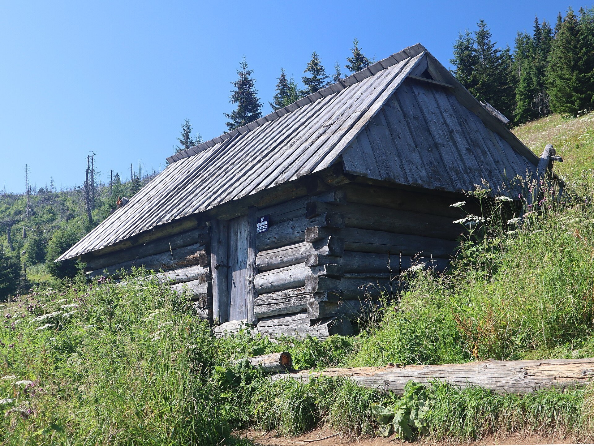
The meadow used to be part of the Stoły shepherds' pasture (hala). Those who grazed here were known as "zastolany". According to the work "Pastoralism of the Polish Tatras and Podhale", there were five pastoral buildings on the meadow in 1956, but only three by 1975: one shepherds' hut (bacówka) and two livestock sheds. These three buildings survive today and are listed in the national register of monuments. They are log structures with fairly high walls and distinctive roofs held down against strong winds by "wiaternice" – wooden frames laid on the roof and weighed down with stones. In the lower part of the building, called the "dojarnik", sheep were milked and kept on cold nights. In 1944 Wacław Krzeptowski, one of the leaders of the collaborationist "Goralenvolk" campaign, hid in one of the huts.
Since grazing stopped, the meadow has gradually been overgrown by forest. In 1955 it covered about 11 ha, and by 2004 its area had shrunk by about 61%. Plants rare in the Carpathians have been recorded here, such as least gagea (Gagea minima) and violet meadow-grass (Poa violacea).
What to see and do
- Three wooden shepherds' buildings – monuments of Podhale folk architecture with stone-weighted roofs; they are well visible from the trail, but they are protected, so do not go inside.
- The panorama: from the meadow you can see Hruby Regiel, the Czerwone Wierchy and Giewont, as well as the northern faces of Kominiarski Wierch. The famous rock fold in the Organy cliffs above the valley is also visible from here.
- Quiet: unlike the floor of the Kościeliska Valley, there are usually few people here – a good spot for a calm rest with a view.
How to get there
A blue trail leads to the meadow from the Kościeliska Valley. It starts next to the Middle Kościeliska Gate (Pośrednia Kościeliska Brama), opposite the Lodowe Źródło spring. The trail is about 2 km long with 460 m of ascent; on the way it passes the small glade of Niżnie Stoły. The time given by Polish Wikipedia is 1:10 up and 55 minutes down. It is the first marked hiking trail in the Western Tatras: it was laid out as early as 1892 by the composer and mountaineer Mieczysław Karłowicz. The former marked trail further up to the summit of Stoły is now closed, so you return the same way.
To reach the start of the trail you first walk along the valley floor from the village of Kiry: the first 1.5 km on a flat gravel road, then on to the narrow part of the valley. There is a TPN ticket point at the park boundary. It is a short but steep climb through the forest: manageable for children who already hike, but not with a pram.
Season and safety
Entry to TPN is paid (as of October 2026: ticket 11 PLN, reduced 5.50 PLN, 7-day 55 PLN; it can be bought online at tpn.gov.pl or via the QR codes at the entrances). From 1 March to 30 November walking on TPN trails between dusk and dawn is forbidden. Dogs are not allowed in TPN (the only exception is the floor of the Chochołowska Valley). The meadow is at its most beautiful in late spring and summer, when the grass is green, and in golden autumn. In winter the slope below Stoły is steep and may be prone to avalanches – check the TOPR avalanche bulletin. This is brown bear habitat: do not leave food behind and never approach the animals. The TOPR rescue number is 601 100 300 or 985.
Nearby
Near the valley entrance is the illuminated Mroźna Cave, and further up the valley the Hala Ornak pasture with its mountain hut, and beyond it the Smreczyński Staw lake.
Photos: Paweł Opioła, CC BY 3.0, Wikimedia Commons; Cybularny, CC BY 4.0, Wikimedia Commons; Cybularny, CC0, Wikimedia Commons; Cybularny, CC BY-SA 4.0, Wikimedia Commons; Jerzy Opioła, CC BY-SA 3.0, Wikimedia Commons; Opioła jerzy, CC BY-SA 3.0, Wikimedia Commons.
Getting there from Ukraine
Border crossings
- Krakovets – Korczowa — road, 24/7
- Shehyni – Medyka — road, 24/7 Pedestrian crossing is not confirmed by the Ukrainian border service — check dpsu.gov.ua before the trip.
- Smilnytsia – Krościenko — road, 24/7
- Hrushiv – Budomierz — road, 24/7
- Mostyska – Przemyśl (rail) — rail, 24/7
By car
Lviv – Zakopane ≈421 km, ≈5 h 10 min without border queues. Route: M-10 Lviv – Krakovets → Krakovets – Korczowa checkpoint → A4 motorway (Rzeszów – Tarnów – Kraków) → Kraków southern bypass → S7/DK7 → DK47 ('Zakopianka') via Nowy Targ → Zakopane. The A4 Katowice – Kraków section (Balice and Mysłowice toll plazas) is tolled, but this route does not use it. In summer and at weekends the DK47 near Zakopane is often congested.
Checked 23.10.2026; border crossing hours and timetables change — check before you travel.
Location on the map
Water and shelter nearby
- Lodowe Spring1.1 km · Not verified · 1 010 m
- Hala Ornak Hut2.2 km · Standing · 1 100 m
- Spring below Niżnia Zawiesista Turnia2.3 km · Not verified · 1 044 m
- Spring below Piec2.5 km · Not verified · 1 624 m
- Spring below Upłaziańska Kopa2.6 km · Not verified · 1 688 m
- Chochołowskie Wywierzysko Spring3 km · Not verified · 988 m
- Spring below Upłaziańska Kopka3 km · Not verified · 1 157 m
Comments
Trails nearby
All trails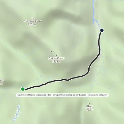 EasyOne-dayMarkedNiżnia Kominiarska Polana Cudakowa PolanaElevation profile957–1 136 m2.1 kmascent 35 m≈ 30 min walkingunder 1 km from Polana na Stołach
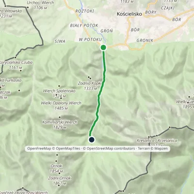 EasyOne-dayMarkedKiry Hala Ornak (Kościeliska Valley)Elevation profile928–1 125 m5.4 kmascent 221 m≈ 2 h walkingunder 1 km from Polana na Stołach
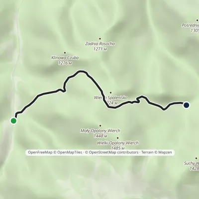 EasyOne-dayMarkedDudowa Valley Niżnia Kominiarska MeadowElevation profile1 017–1 326 m3.5 kmascent 309 m≈ 1.5 h walkingunder 1 km from Polana na Stołach
Nearby attractions
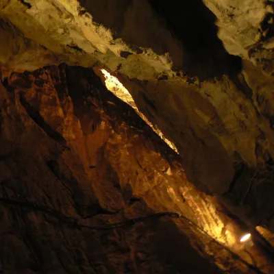 NatureMroźna CaveKościelisko1.2 km from Polana na StołachMroźna Cave is the best-known show cave in the Polish Tatras. It lies on the eastern slope of the Kościeliska Valley, in the Organy massif, about 120 m above the...
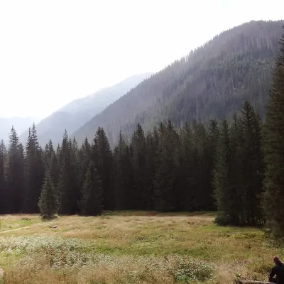 Mountain meadowHala OrnakKościeliskoaltitude 1 100 m2.3 km from Polana na StołachHala Ornak is a former shepherds' pasture in the upper part of the Kościeliska Valley in the Western Tatras, inside the Tatra National Park (TPN).
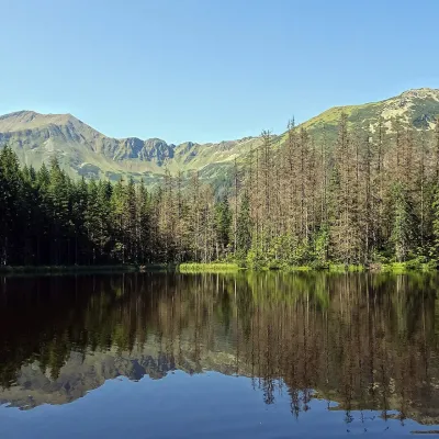 LakeSmreczyński Staw LakeKościelisko3 km from Polana na StołachSmreczyński Staw is a small glacial lake in the upper part of the Kościeliska Valley, at the mouth of the Pyszniańska Valley, at 1,226 m.
Craft nearby
All craft places Cheese dairies & pasturesShepherd's Hut in the Kościeliska ValleyKościelisko2.2 km from Polana na StołachJózef Słodyczka's bacówka (shepherd's hut) on the Wyżnia Kira Miętusia glade is probably the most easily reached shepherds' hut in the Polish Tatras.
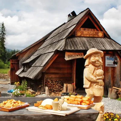 Cheese dairies & pasturesBiały Potok Shepherd's Hut, Witów: oscypek and cheese workshopsKościelisko4 km from Polana na StołachBiały Potok meadow in the village of Witów lies between the entrances to two of the most visited Tatra valleys, Chochołowska and Kościeliska.
 Cheese dairies & pasturesShepherds' Huts on Polana ChochołowskaKościelisko4.8 km from Polana na StołachPolana Chochołowska is the largest glade in the Polish Tatras and one of the largest in the whole range.
 Markets & fairsMarket under GubałówkaZakopane8.6 km from Polana na StołachThe market under Gubałówka (Targ pod Gubałówką) is Zakopane's best-known bazaar and probably the most photographed row of stalls in the Polish Tatras.
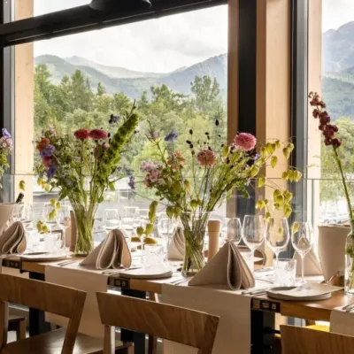 Craft beer & breweriesGwarno Restaurant & Brewery, ZakopaneZakopane8.6 km from Polana na StołachGwarno is a restaurant with its own small brewery at the foot of Gubałówka in Zakopane. It stands on Na Gubałówkę street right next to the lower station of the...
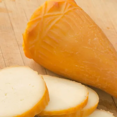 Cheese dairies & pasturesDom Oscypka, Krupówki, Zakopane: cheese-making workshop with a bacaZakopane8.7 km from Polana na StołachDom Oscypka ("House of Oscypek") is a workshop studio on Krupówki in the very centre of Zakopane, where you can see how highland cheese is made from milk and make some...
